Starting Coordinates: 42.59034, 23.29317
Distance: 11.0 km
Elevation Gain: 395 m
Time: 4½ hours
Difficulty: moderate-hard
Transport: by car, or by bus no. 66 to the last stop
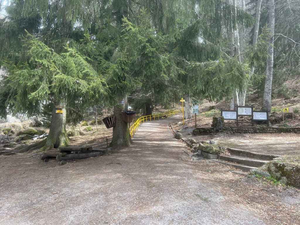
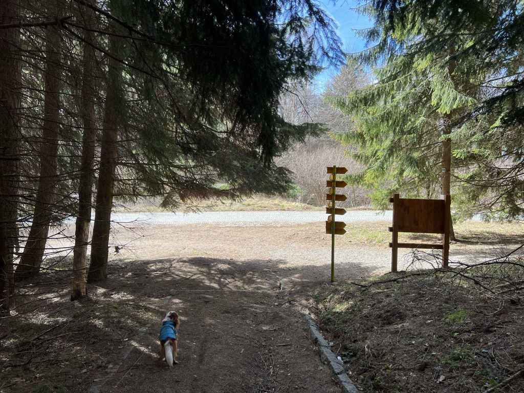
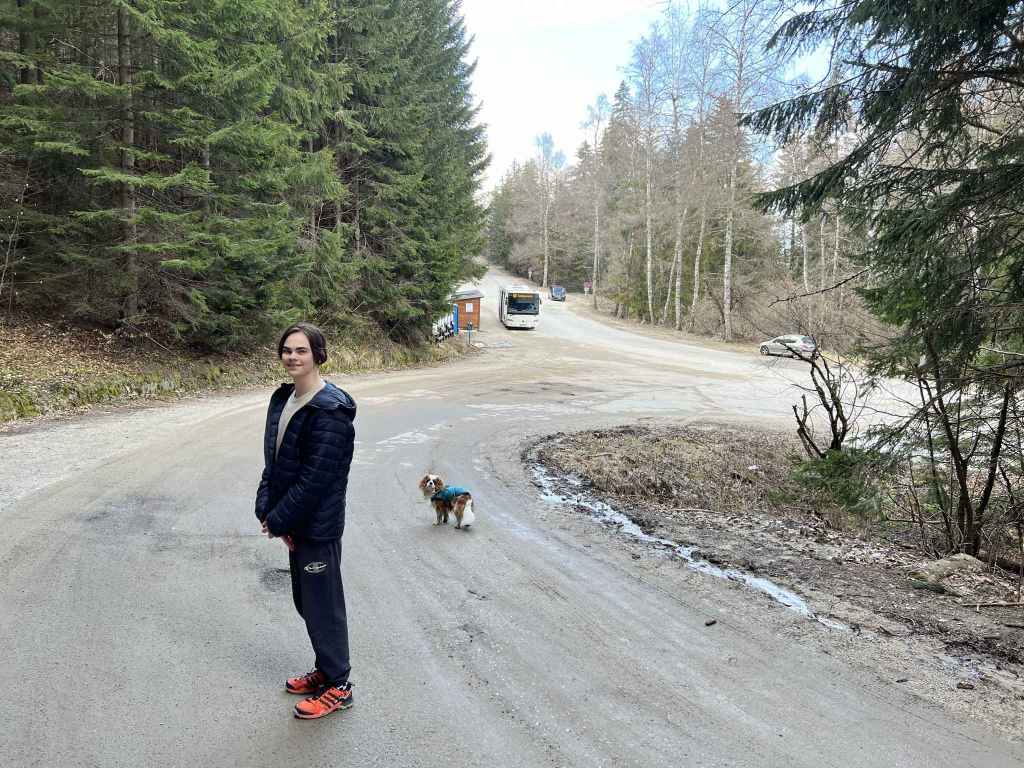
The slip road to the top of the Dragalevtsi chair lift, Goli Vrah, 200 metres before the last stop on the 66 bus route. 
The top of the chair lift. 
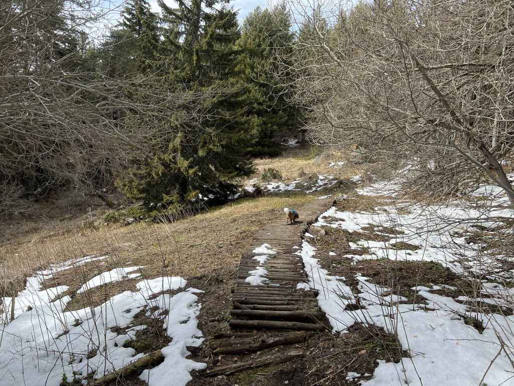
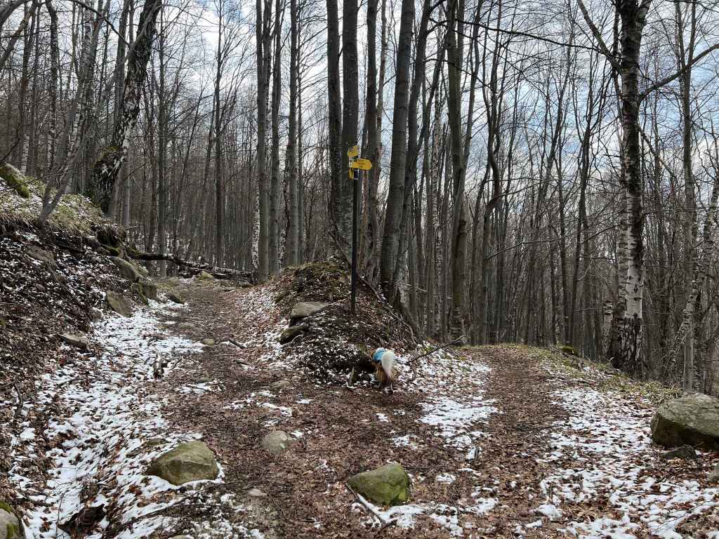
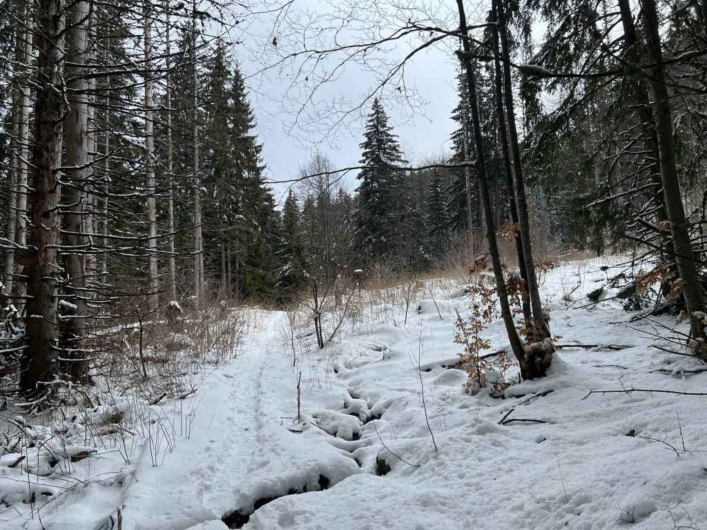
The path right, marked by black and yellow posts, across the peat reserve. 
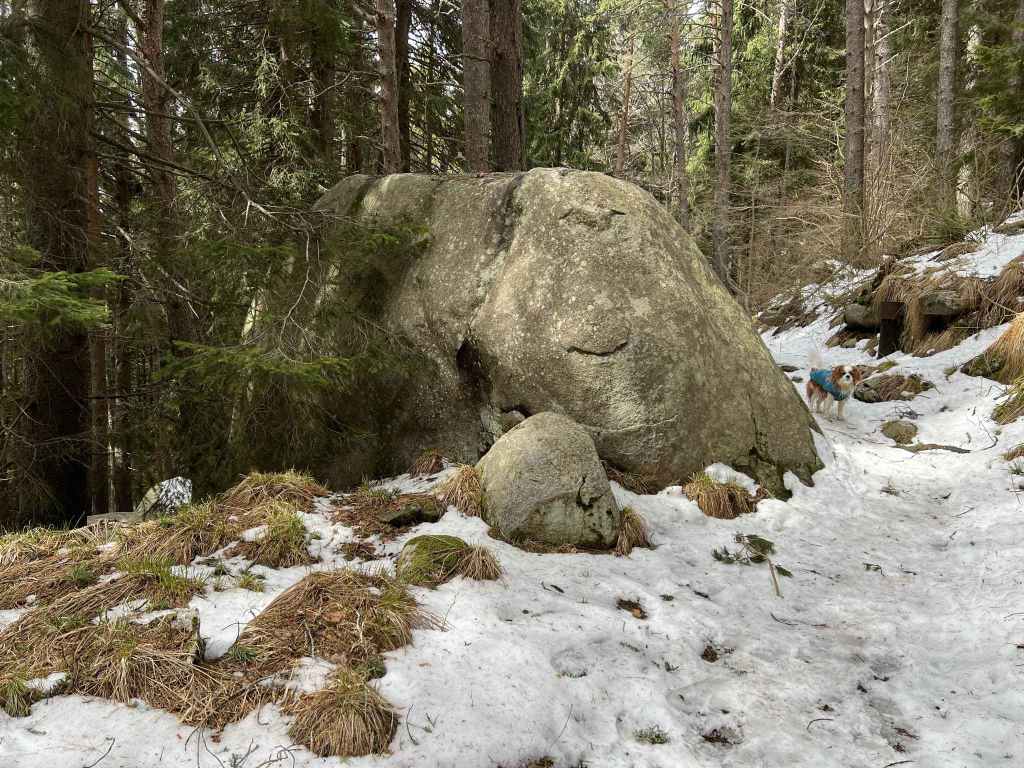
The peat reserve, with Ushite and Chernata Skala in the distance. 
The peat reserve. 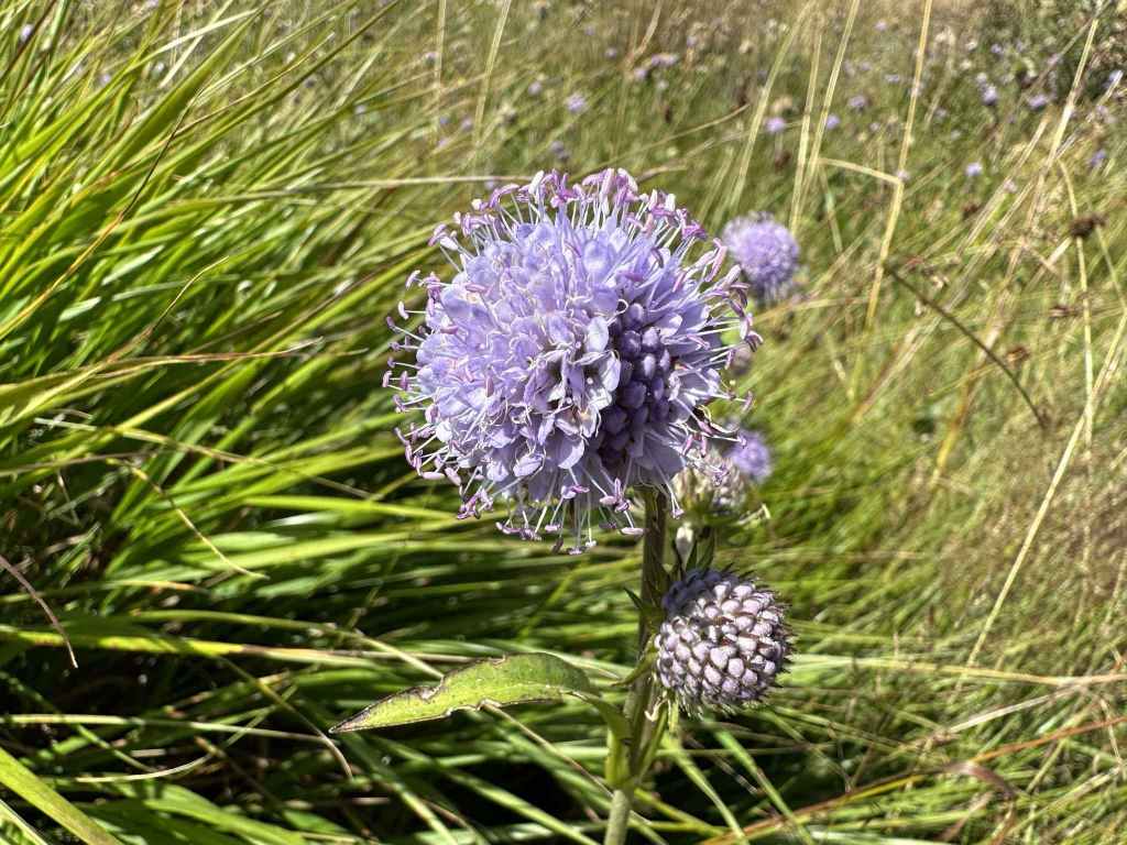
The brightly coloured flowers. 
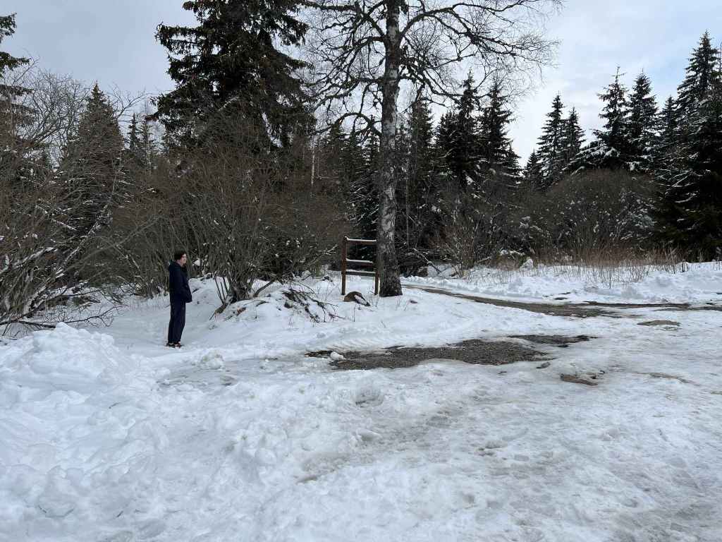
The Ushite shelter. 
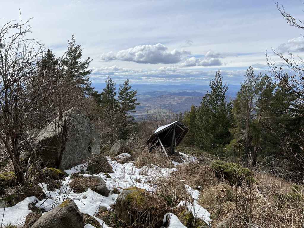
Kamen Del peak. 
The view of Sofia from Kamen Del peak. 
As the path descends towards Bor, the TV tower at Kopitoto is visible. 
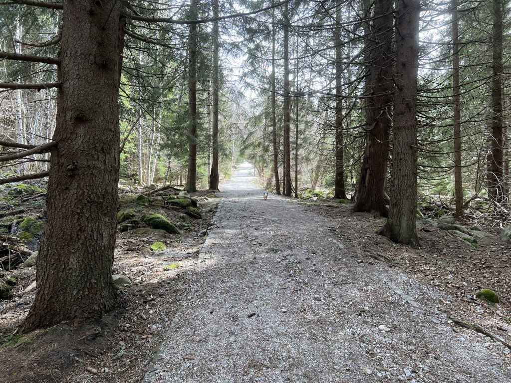
In a short while, the path enters forest. 
It passes a hut and a fountain. 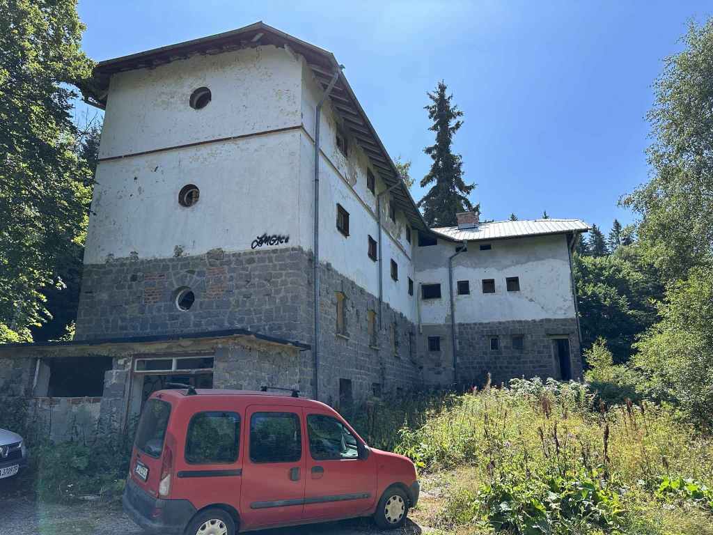
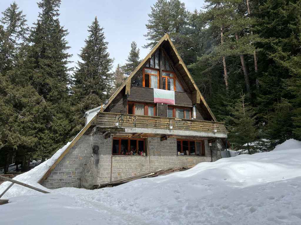
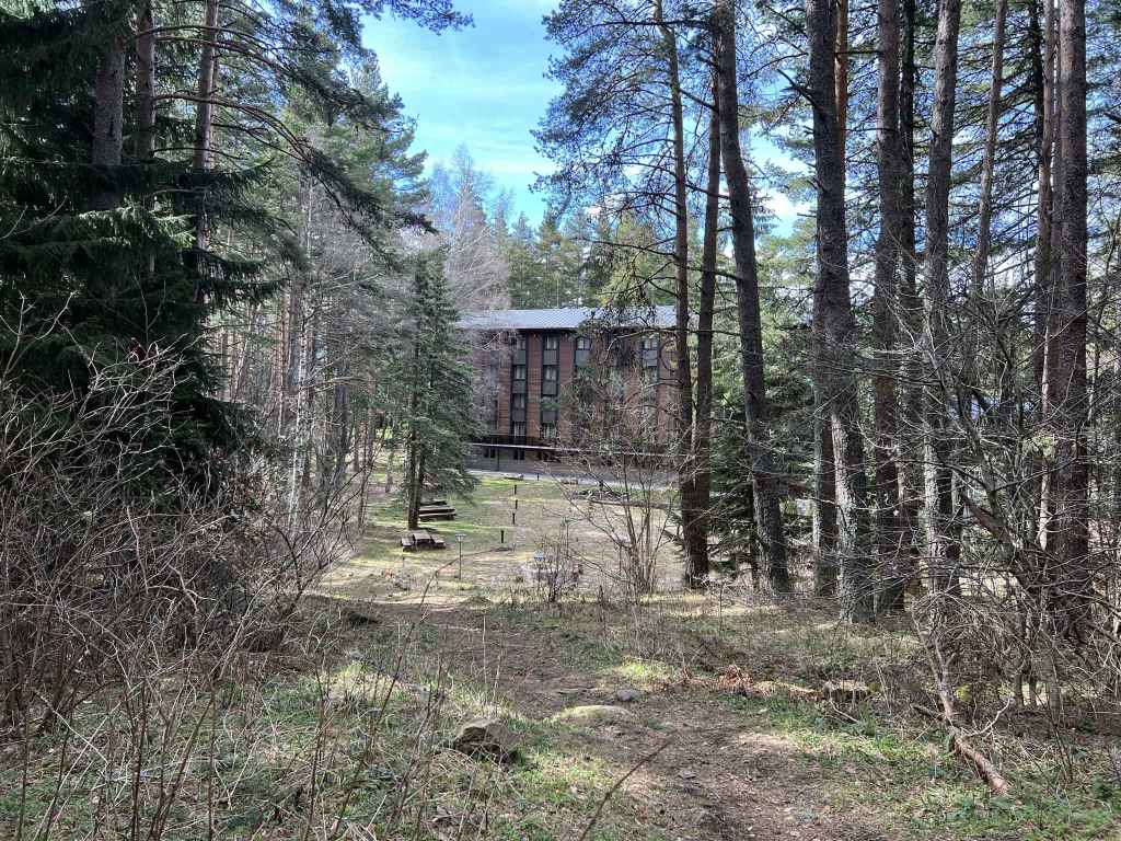
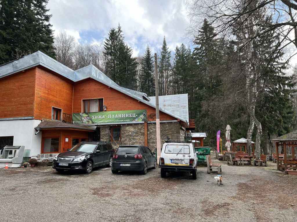
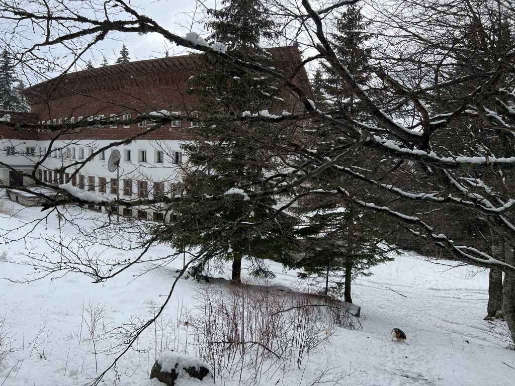
Bor mountain hut (inactive). 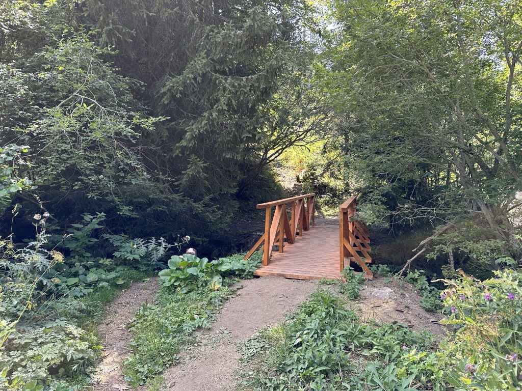
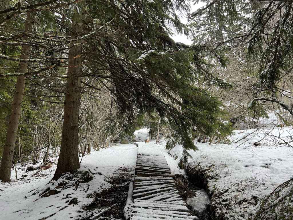
Immediately after Bor mountain hut, there is a small bridge over Boyana River, a nice place to rest. 
On the return, the views from the Ushite shelter towards the summit, Cherni Vrah, are spectacular.
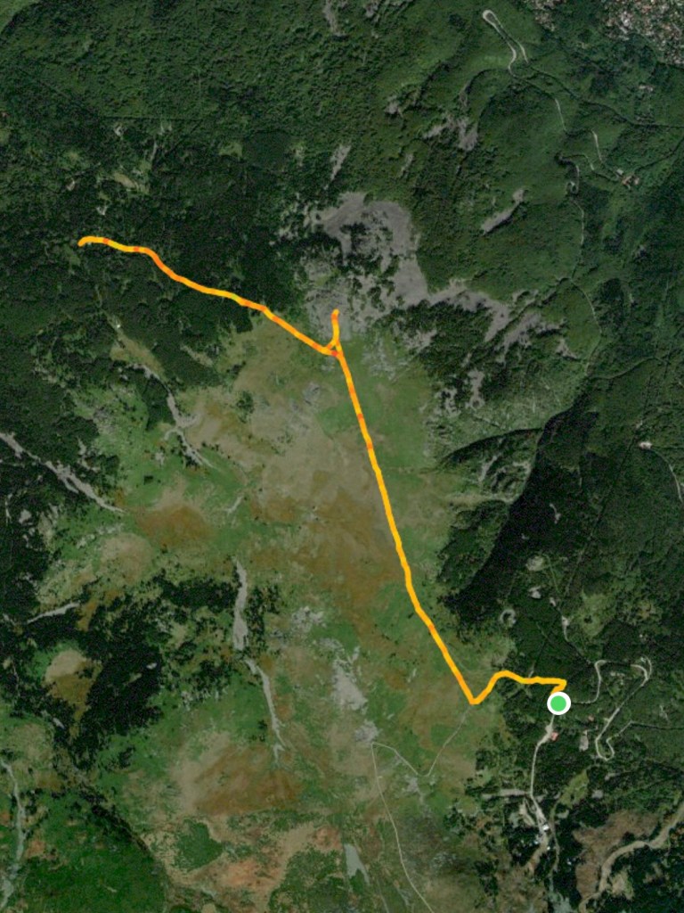
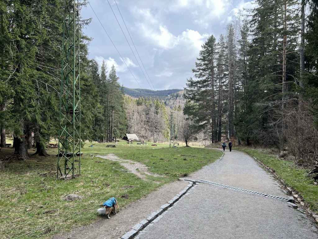
Part of this walk is the same as for Kominite, along the plateau next to the top of the Dragalevtsi chair lift, Goli Vrah. It takes you all the way across the peat reserve and down to Bor mountain hut, which features in the walks Planinets and Zlatni Mostove. It offers the chance to climb a peak, Kamen Del, the peak which is most visible from the centre of Sofia, next to Ushite, and affords wonderful views of the city itself.
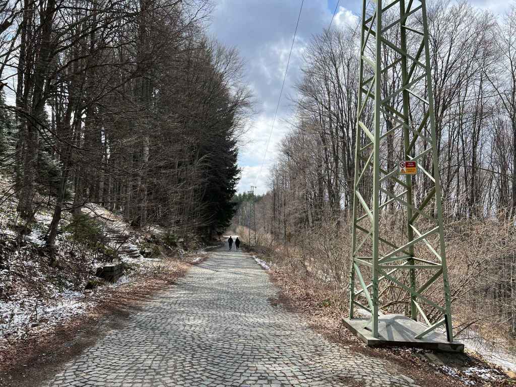
If you are travelling by public transport, you take bus no. 66 to the end of the line and then walk back 200 metres to the slip road to Goli Vrah. By car, you take the road up the mountain from Dragalevtsi village. From the cobbled square at the centre of Dragalevtsi, you take the road in the far corner and drive for 14.2 kilometres, past the turning for the “Vodenitsata” restaurant, past the car park behind Dragalevtsi Monastery, under the Dragalevtsi chair lift, past the middle station on the Dragalevtsi chair lift (Bay Krastyo), past the turning for the ski slope Vitoshko Lale, until you get to the slip road that takes you to the top of the chair lift, Goli Vrah. If you find yourself in Aleko, where the road ends, you have gone too far and need to drive back a short distance. The slip road is on the right, 200 metres before the final bus stop.
Many people use this slip road to access the summit, Cherni Vrah, instead of going to the summit from Aleko, which is nearer, because the slip road climbs more gradually whereas the climb from Aleko is very steep (there is a chair lift). The slip road takes you in five minutes past the top of the Dragalevtsi chair lift, Goli Vrah, and in another five minutes you come to the peat reserve on your right and a path marked with black and yellow posts. Turn right here (it is signposted for the Ushite shelter, “zaslon Ushite”) and follow the black and yellow posts for the next forty-five minutes. You will notice a slight springiness in your step because of the peat, it buoys you up. The views behind you to the summit, Cherni Vrah, right to Sofia, and straight ahead to Ushite (“The Ears”) with Chernata Skala (“Black Rock”) to the left of it are all wonderful. So is the sense that you are crossing a valuable piece of land, the peat reserve, full of grasses and brightly coloured flowers.
The path from the slip road starts at post number 30. In ten minutes (post 50), there is a path on the right going back to Goli Vrah. Keep going straight. In another ten minutes (post 64), there is a path on the right. Ignore it. In another ten minutes (post 89), there is a path going right to the Kominite Climbing Area. This features in the walk to Kominite. Keep going. In another ten minutes (post 108), you reach the Ushite shelter on your left, with Ushite behind it. Immediately after you have left the shelter behind, another peak, Kamen Del, becomes visible to your right, overlooking Sofia, a Bulgarian flag flying on top. This is a popular destination at weekends during summer.
The path you are on, with the black and yellow posts, will take you all the way to Bor mountain hut, but it is worth making a diversion to climb Kamen Del peak. So five minutes after the Ushite shelter (post 116), take the path on the right in the direction of the peak, which you will reach after ten minutes. Enjoy the fabulous views over Sofia! Lots of people stay here to admire the landscape, the valley with Sofia and the airport, Pancharevo (with the lake) and Bistritsa to the right, the Balkan mountain in the distance. If at this point you feel you have walked far enough, it is perfectly possible to turn around here and retrace your steps. Otherwise, come down from the peak, return to the path with the black and yellow posts (you can rejoin this path at post 121 instead of returning to post 116 by taking a path on the right as you come down from the peak).
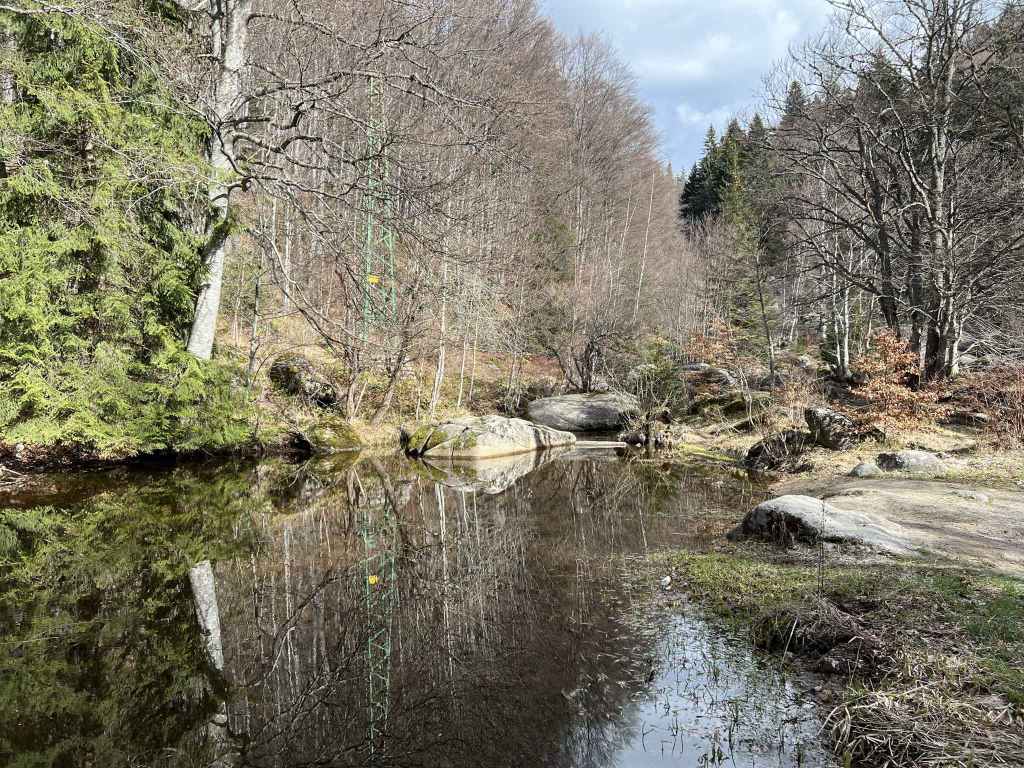
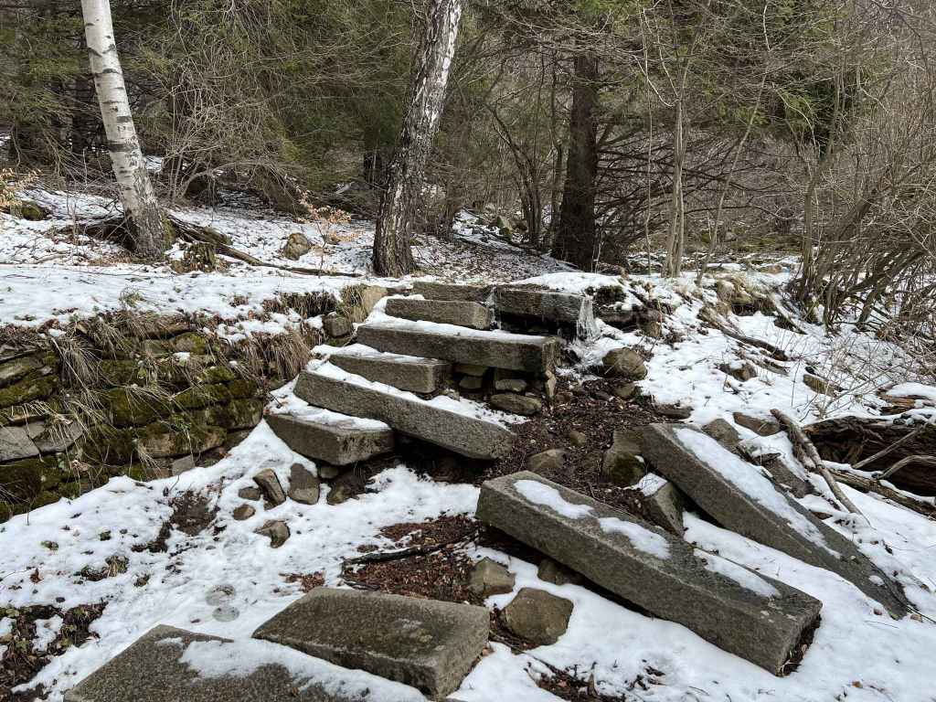
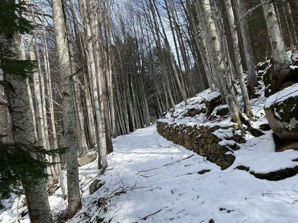
Once you are back on the path with the black and yellow posts, it will begin to descend and soon it will enter forest. Forty minutes after Kamen Del peak, you pass a hut and a fountain on the left. Immediately after this hut and fountain, the path forks. Keep left, join the tarmac road and in five minutes you will be at Bor mountain hut, which is not active. If you keep going straight, after the mountain hut, you will immediately come to a small bridge over Boyana River, which is a lovely place to sit and rest. In the not so distant future, this small river will become Boyana Waterfall, but that’s still in the future.
Then simply return the way you came, taking the same path (signposted for Platoto and Aleko Hut). On the way back, when you emerge from the forest after half an hour, the path divides. It doesn’t matter which fork you take since they have the same destination, but I usually follow the fork with the black and yellow post next to it. That way, I know I’m going in the right direction. In another ten minutes (post 120), the climb ceases and, as you reach the Ushite shelter on your return, the views over the plateau towards Cherni Vrah are truly stunning. At post 50, there is the option of taking a slightly shorter route to Goli Vrah, but I’m a stickler for tradition and prefer to stay on the path with the posts. At post 30, you rejoin the slip road. Turn left, and in ten minutes you will be back at the main road where you started. Like all walks that go and return by the same route, this walk can easily be shortened by turning back earlier. What I like about continuing to Bor mountain hut is that it links this walk with two earlier walks, Planinets and Zlatni Mostove, and I get a better understanding of the mountain (just as the walks from Kopitoto and Bay Krastyo also meet in the middle, but lower down the mountain).