Starting Coordinates: 42.5822, 23.2922
Distance: 9.0 km
Elevation Gain: 470 m
Time: 3¾ hours
Difficulty: hard
Transport: by car, by gondola lift, or by bus no. 66 to the last stop

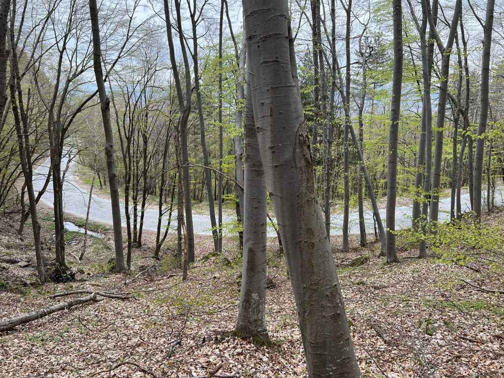
Approaching Aleko on the road from Dragalevtsi, with Malak Rezen peak clearly visible. 
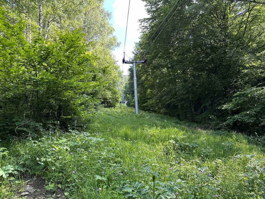
The top of the gondola lift that goes to Aleko from the district of Simeonovo. 
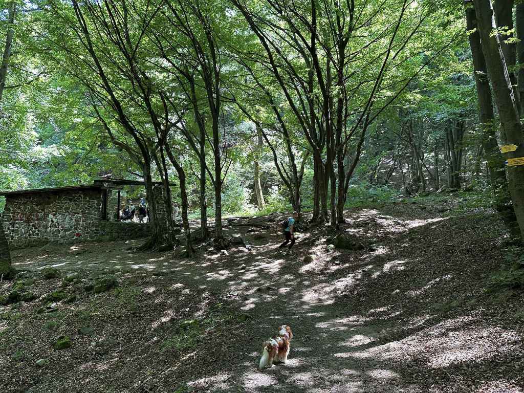
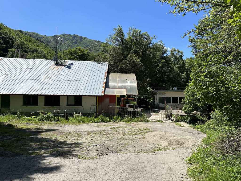
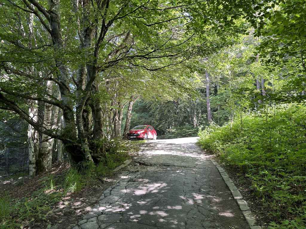
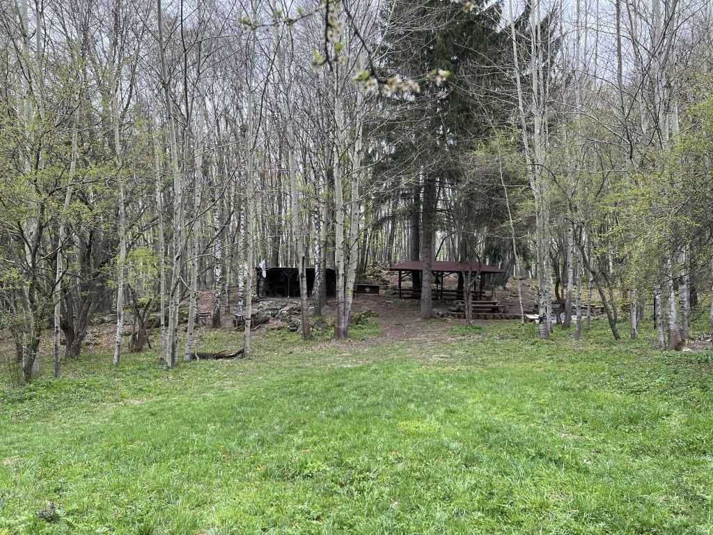
Aleko hut. 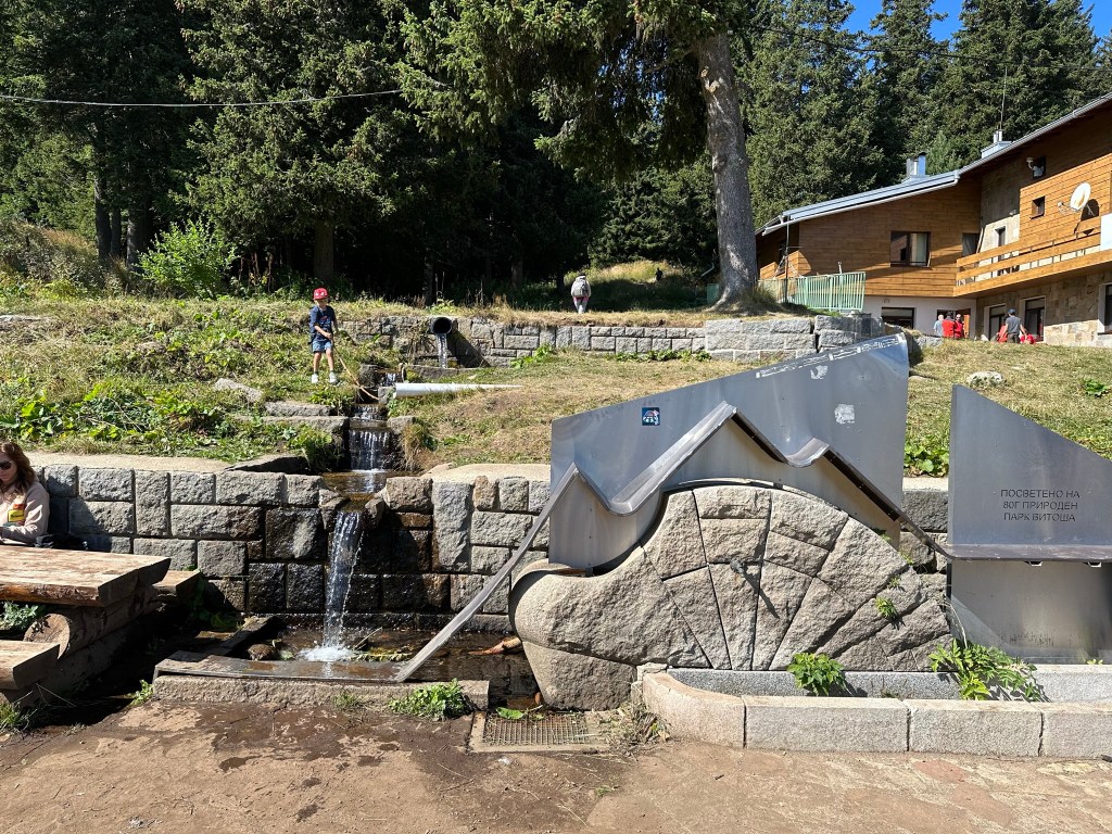
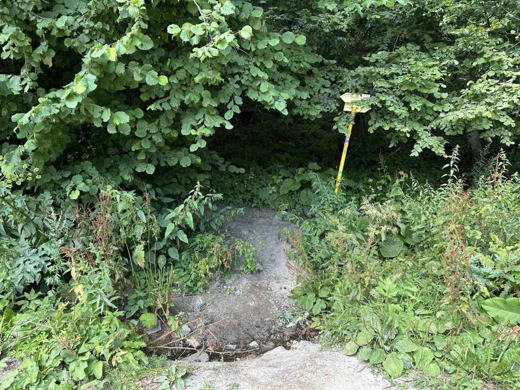
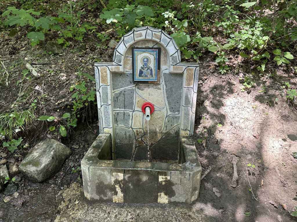
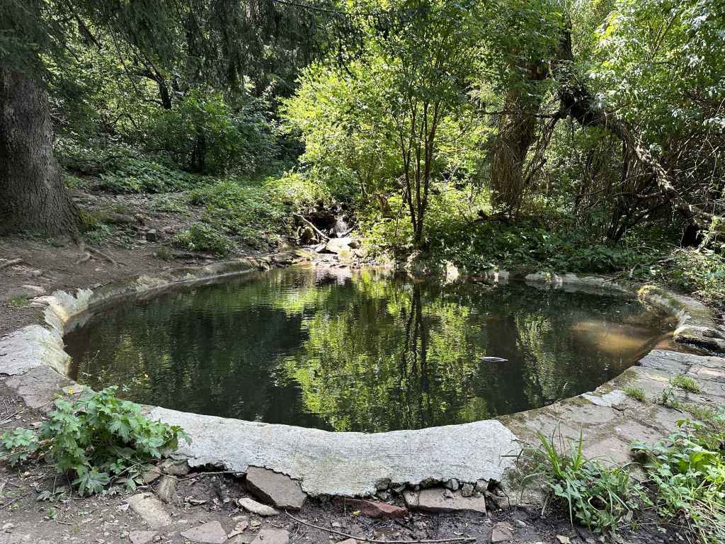
The fountain on the south side of Aleko hut, where the path to Cherni Vrah begins. 
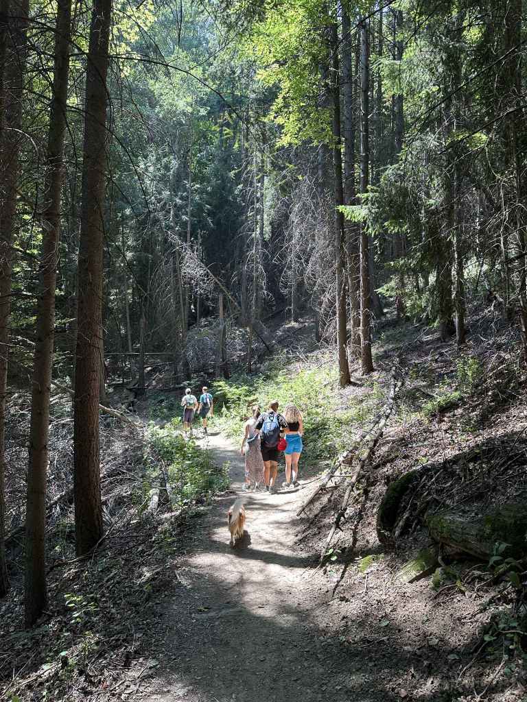
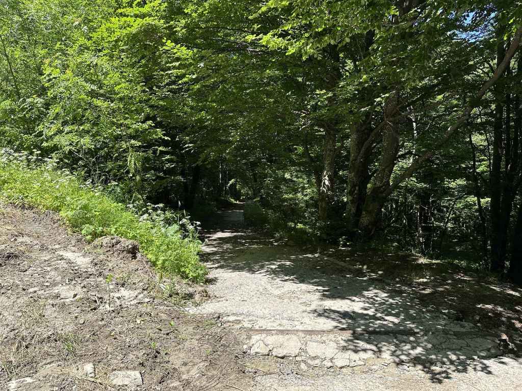
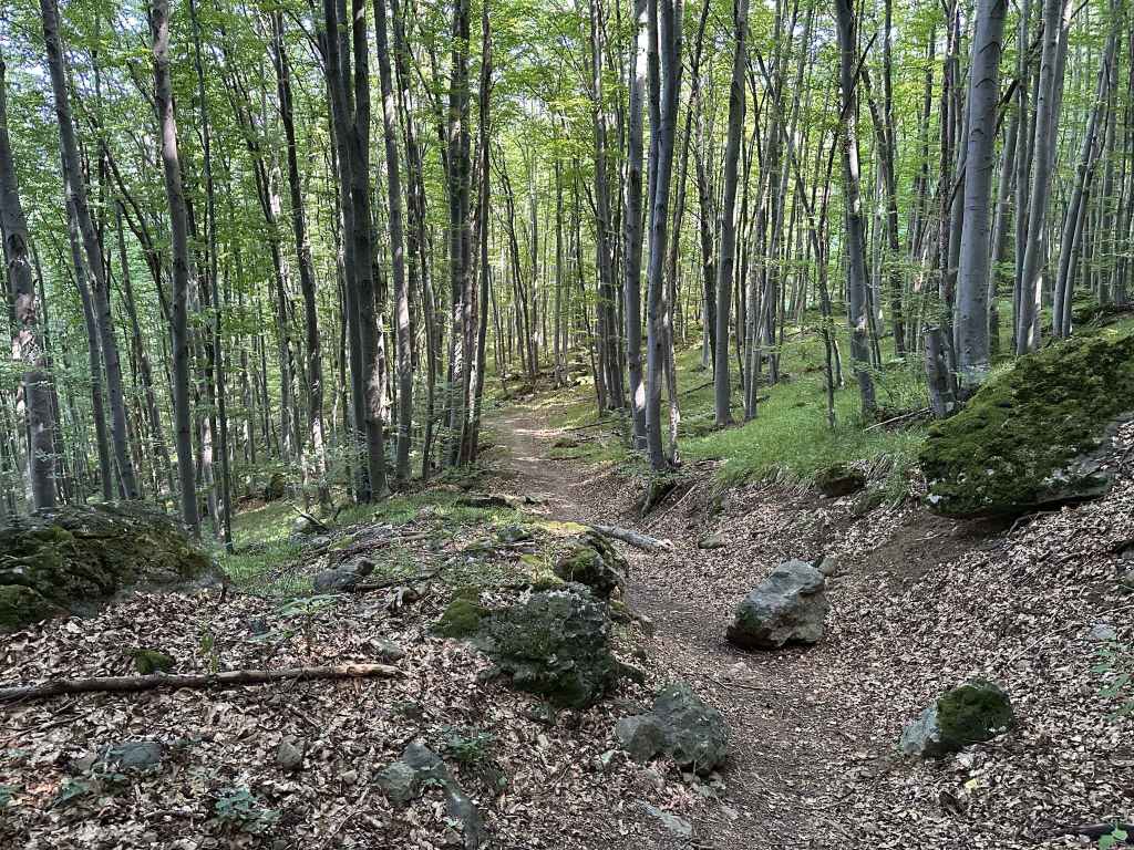
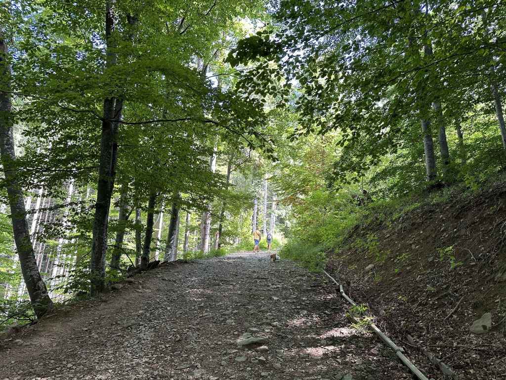
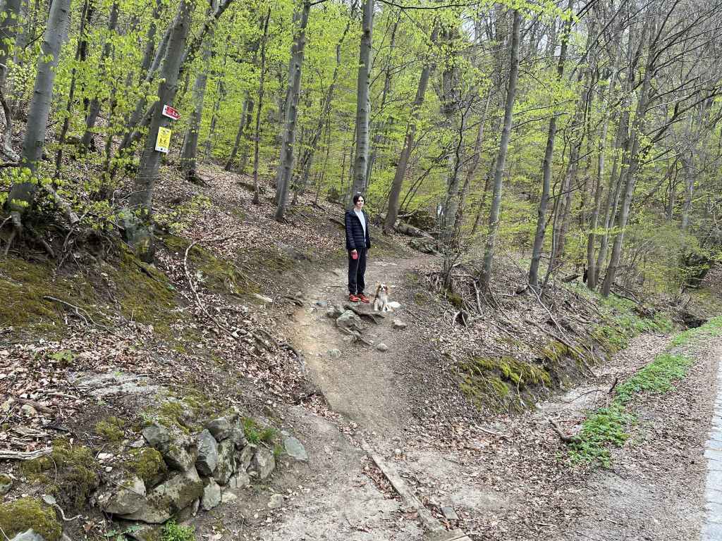
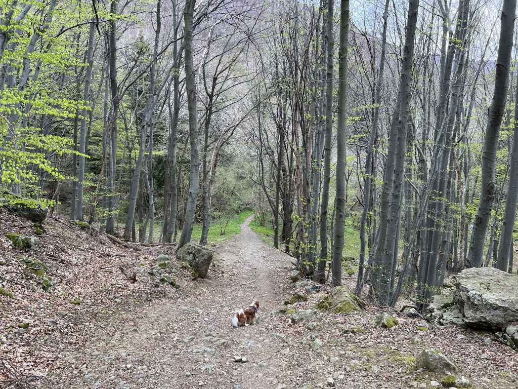
The path as it zigzags up the mountain. 
The path higher up. 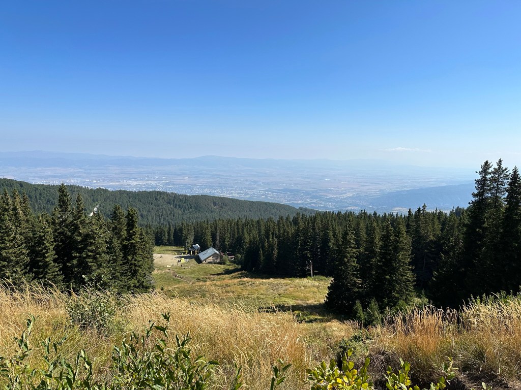
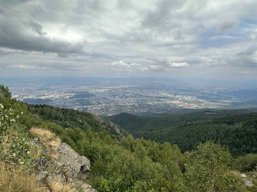
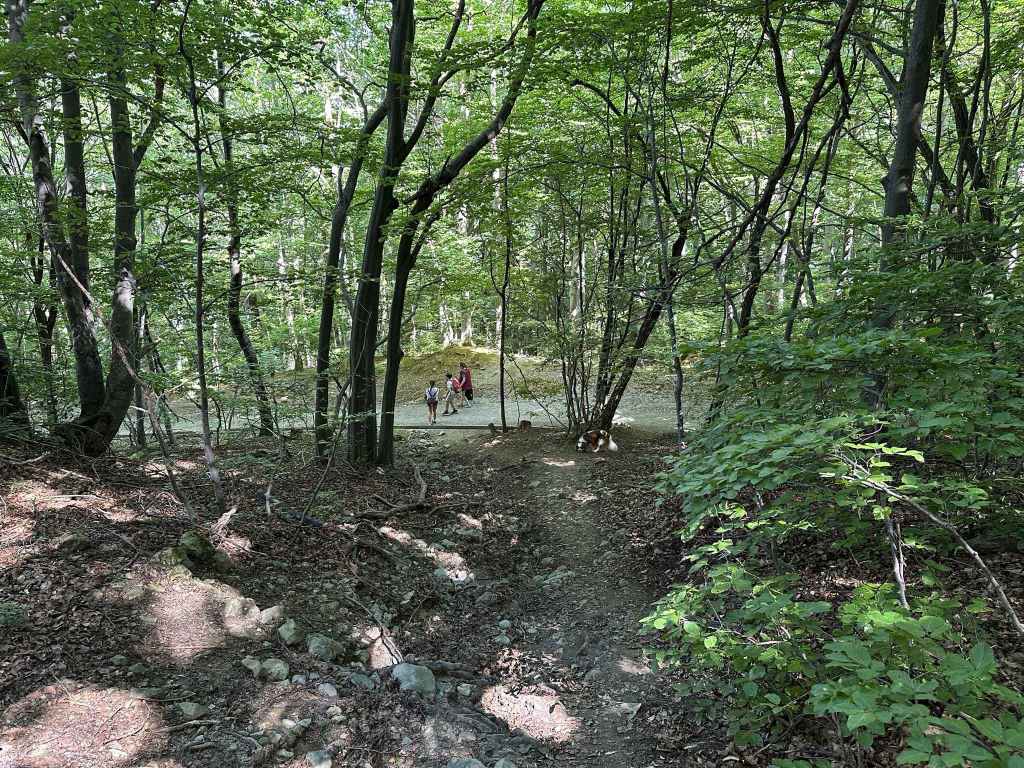
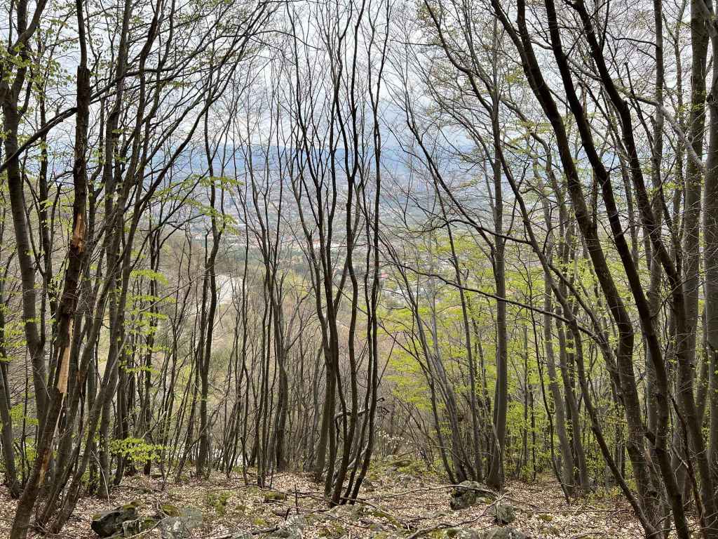
A view back to Aleko, with Sofia in the distance. 
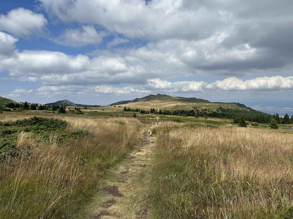
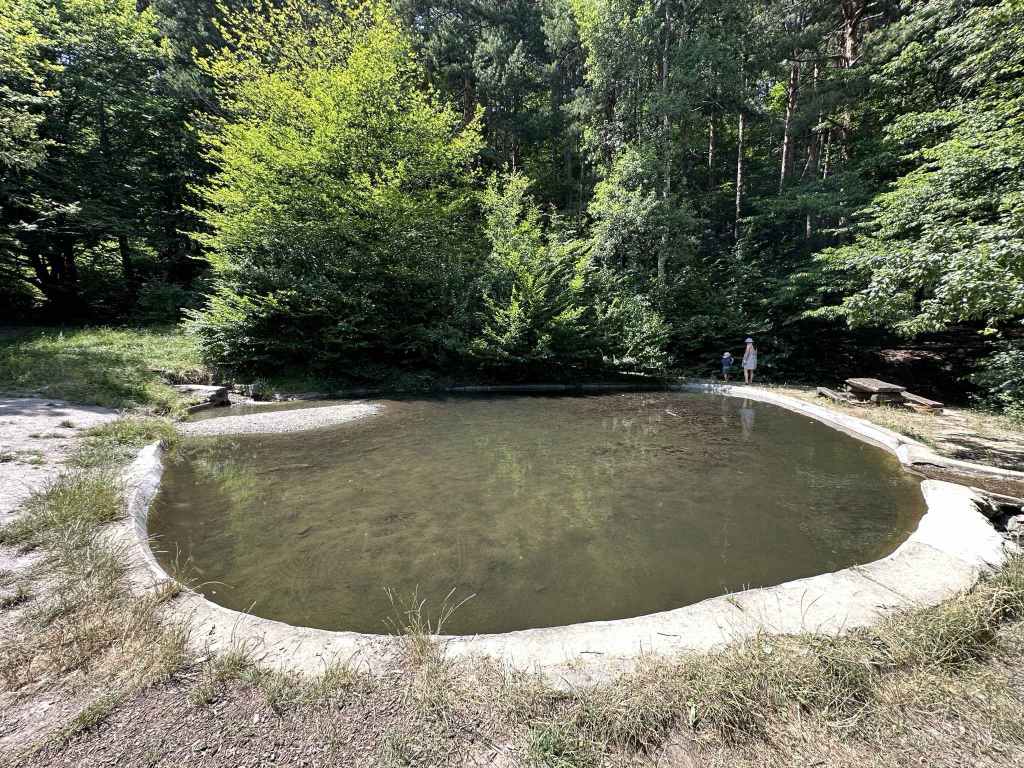
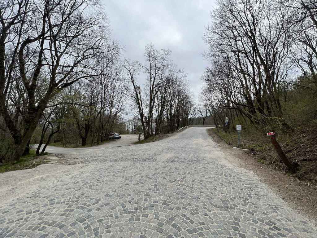
The path where it joins the slip road from Goli Vrah (an easier, but longer route). 
After 450 metres, a path leaves this slip road (at post 39) and heads directly to the summit. 
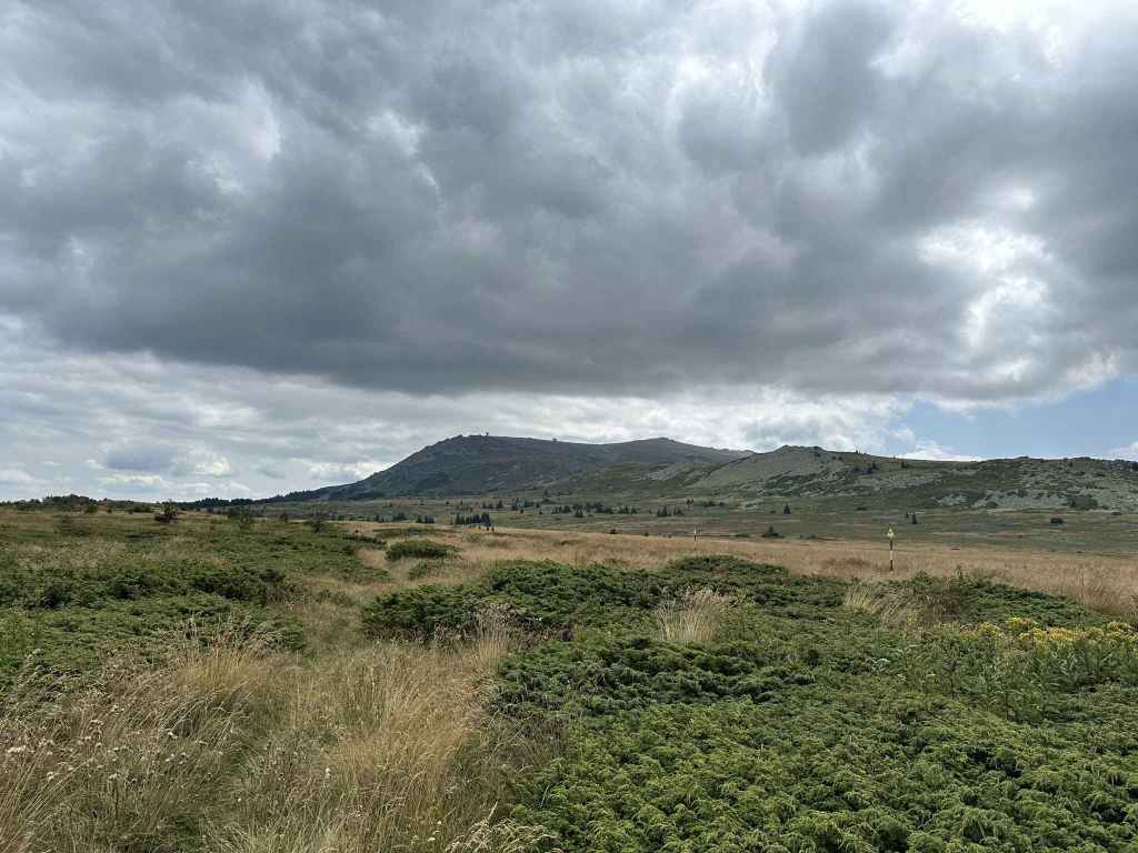
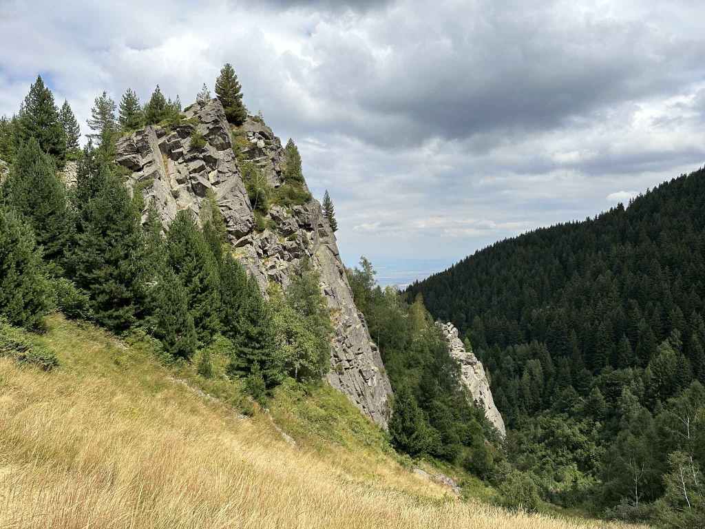
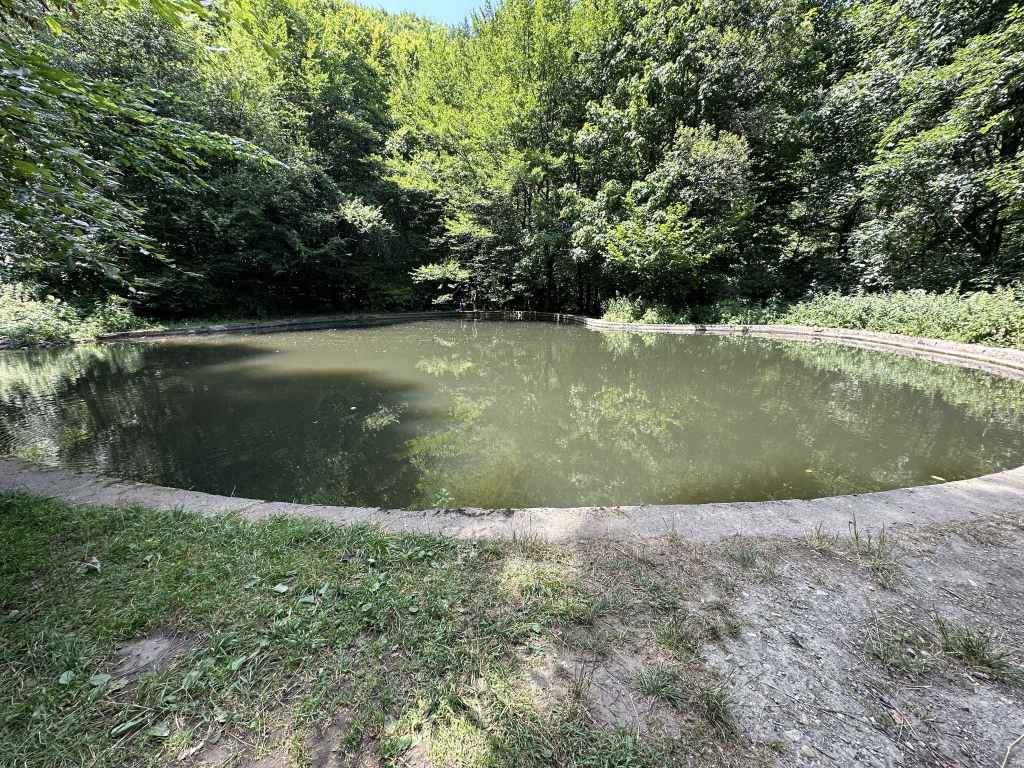
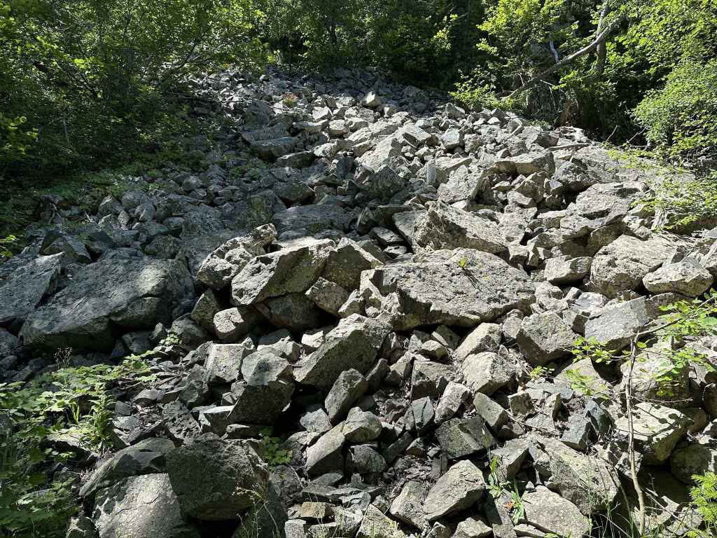
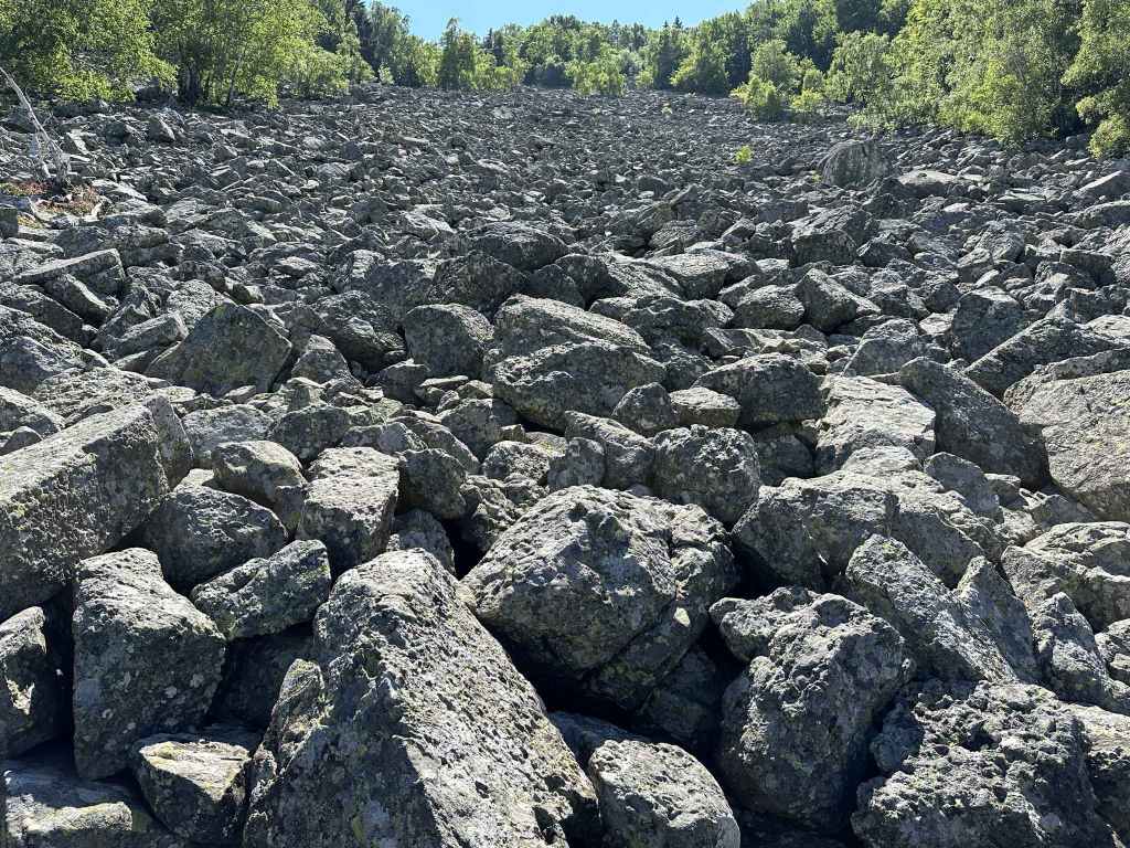
The peat reserve on the right, with a large moraine field spilling into it. 
The hut at the summit. 
With the large bell. 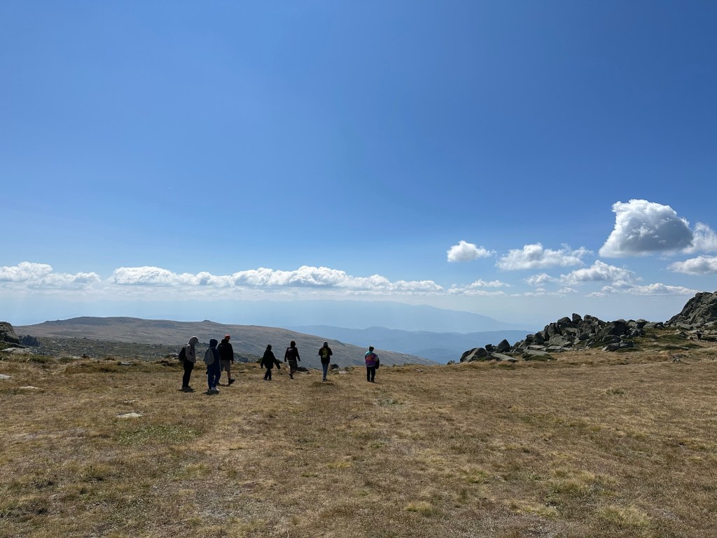
A view further south, with Rila mountain in the distance. 
The path heading back to the slip road, with Sofia in the distance. 
The slip road to Goli Vrah.
Aleko is named after the Bulgarian writer Aleko Konstantinov, creator of the fictional character Bay Ganyo, who encouraged tourism in Bulgaria. It is one of the most popular destinations on Vitosha – because it takes you within striking distance (3.2 km) of the summit, because it boasts several ski slopes, because it is at the top of the gondola lift from Simeonovo, and because it is about as high as you can get on the mountain with a normal vehicle. It is the first place I visited as a tourist, before I started walking on the mountain as a hiker.
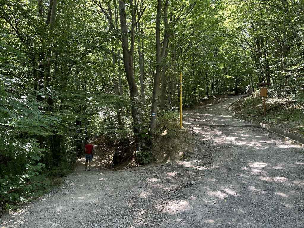
There are three ways to reach Aleko. By car, you take the road that climbs the mountain from Dragalevtsi and continue to where the road ends, a distance of just over 15 kilometres. By public transport, you take bus no. 66 and continue to the last stop, opposite a hotel called Moreni, and then walk the final 700 metres before coming to the end of the road, after passing a large moraine field on your right. Or there is a gondola lift that climbs the mountain from Simeonovo, though this lift normally only works at weekends.
Once at Aleko, you have a choice of walking to the summit, or you can take a chair lift (run by the same company that runs the Simeonovo gondola lift). This chair lift used to depart directly opposite Aleko hut and climb the peak in front of you, Malak Rezen, but it is no longer operative, so you must now take the path that heads east in the direction of Bistritsa village and, on reaching the ski slope Vitoshko Lale (where there is a chair lift), take a path on your right that climbs to the middle station. This lift also only works at weekends, but it is relatively inexpensive. It is just under a kilometre from Aleko hut to the lift.
To walk to the summit, look for the fountain on the south side of Aleko hut. To the left of this fountain, there is a path that climbs the mountain. This is the path you want. It skirts the disused chair lift on your left, with Malak Rezen peak also on your left. You have a choice of choosing a more direct route, or zigzagging slightly (following the red markers), which makes the ascent easier. From Aleko hut to where the path joins the slip road from Goli Vrah is an elevation gain of 260 metres and takes approximately forty minutes. The views back to Sofia, of Malak Rezen peak to the south, Ushite and the peat reserve to the north (see the walk Ushite), are wonderful and well worth the effort.
When you get to the top, you join the slip road coming from Goli Vrah. Many people choose to access the summit by means of this slip road, which is a dirt track and leaves the main road from Dragalevtsi 900 metres before the road ends at Aleko (200 metres before the last bus stop), taking a more circuitous route. When you join the slip road, turn left. Follow the road for 450 metres until you reach a black and yellow post with the number 39 on it. Here, the road continues to the radar station on your left, while a path leads directly to the summit in front of you. It takes half an hour on this path to reach the summit, where there is a hut with a bunch of antennae on top of it. You can see the radar station (a white golf ball) on your left and the valuable peat reserve on your right.
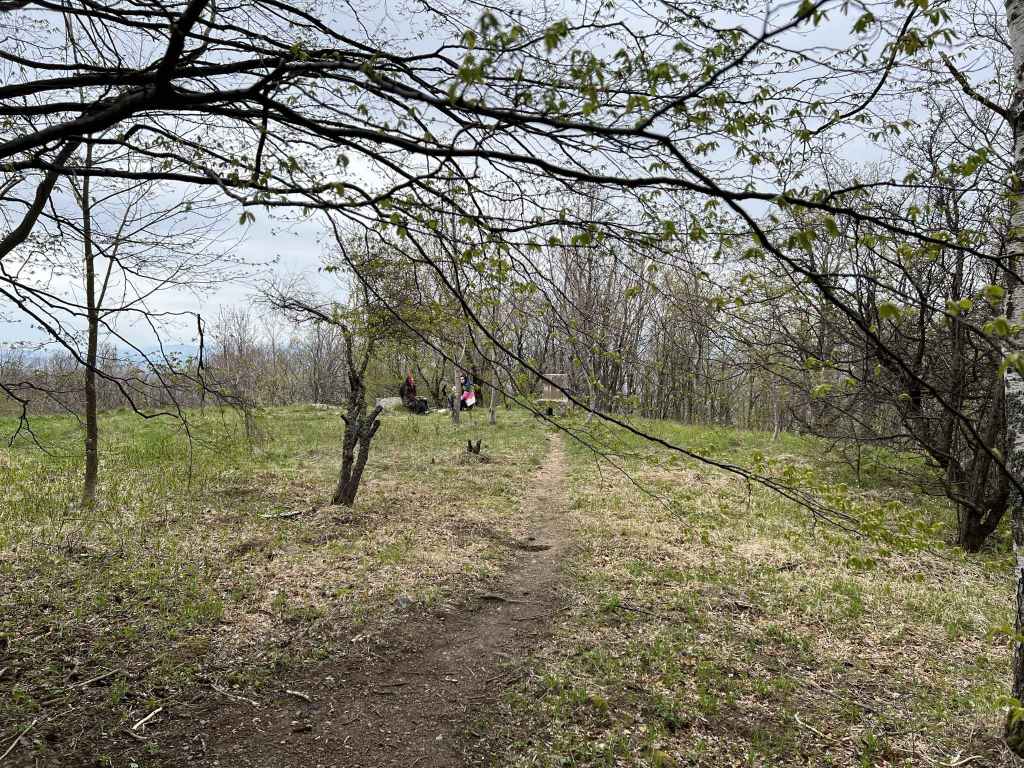
When you reach the hut at the summit, there is a large bell inside an iron structure. It was the tradition, when I first came here, to ring the bell, but even if that is no longer possible, you can still touch the bell with your wedding ring (if you have one) and it will issue a small sound in recognition of your achievement. After all, it’s not every day you make it to the summit of a mountain. The weather can be windy up here, so it’s good to pack something warm. The hut serves food. Beyond the hut is a large grassy area and stunning views of the other side. You can see Rila mountain in the distance on a clear day. You may want to linger here for a while, enjoying the views. It’s also worth walking south-east for half an hour, in the direction of Skoparnika peak. There are unusual rock formations which look suspiciously like Picasso paintings.
When you’ve had enough, follow the black and yellow posts back down towards the slip road, rejoin the slip road for 450 metres, and then you can either descend directly towards Aleko the way you came up (at post 60), or you can continue on the slip road, a longer but easier route which will take you alongside the peat reserve all the way back to the main road, where you will have to turn right in order to complete the last few hundred metres. The route via Goli Vrah is about twice as long as the more direct route to Aleko.
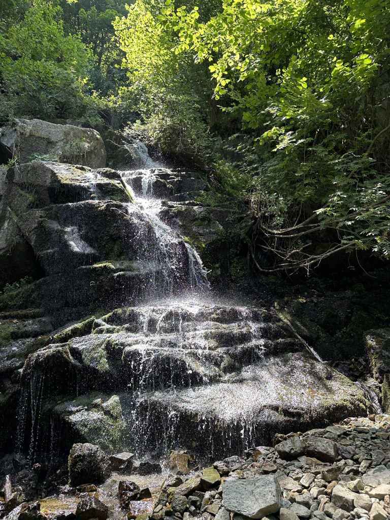
This is a hard walk – it’s not so easy to climb a summit – but the views at the top in all directions are stunning. This is also where the magnificent Struma River has its source (this river flows into the Aegean in northern Greece, next to the ancient settlement of Amphipolis; if you drive to Greece on the motorway from Sofia, you follow the course of this mythical river). Please note: Struma River begins on Vitosha (not on Rila or Pirin, as might be expected). It is not the only river to do this.
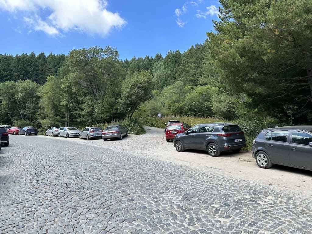
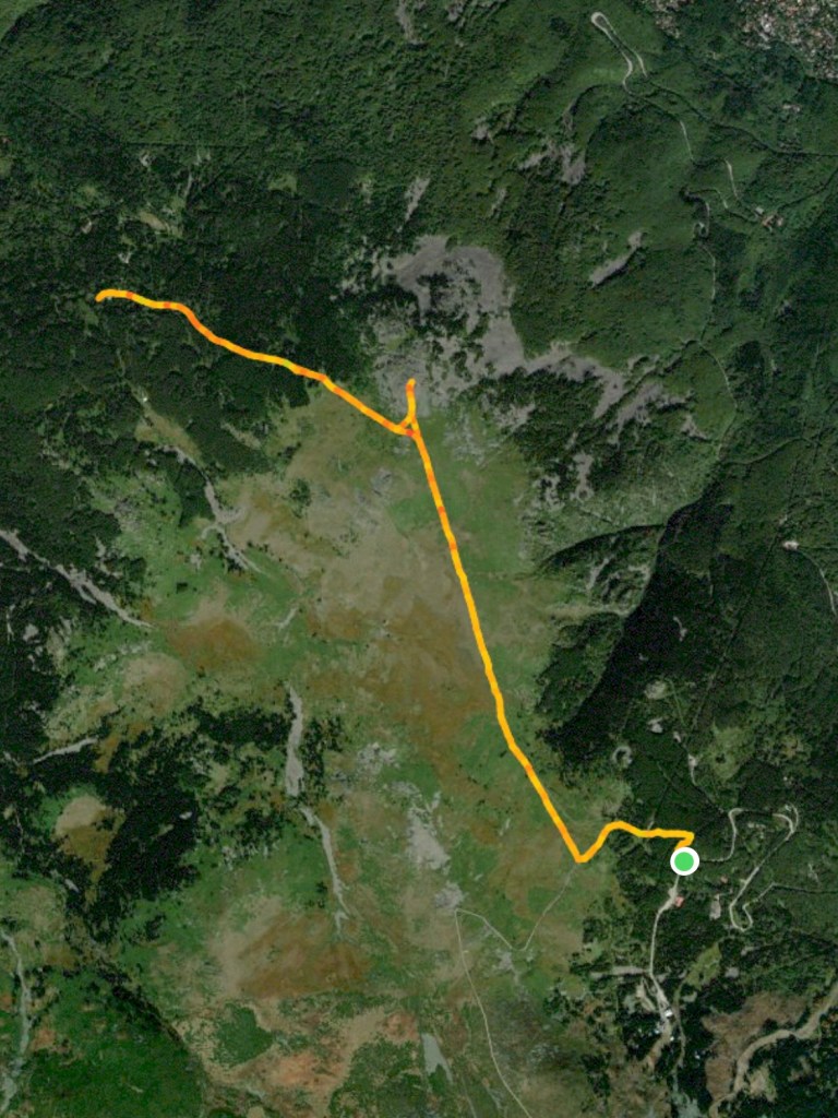
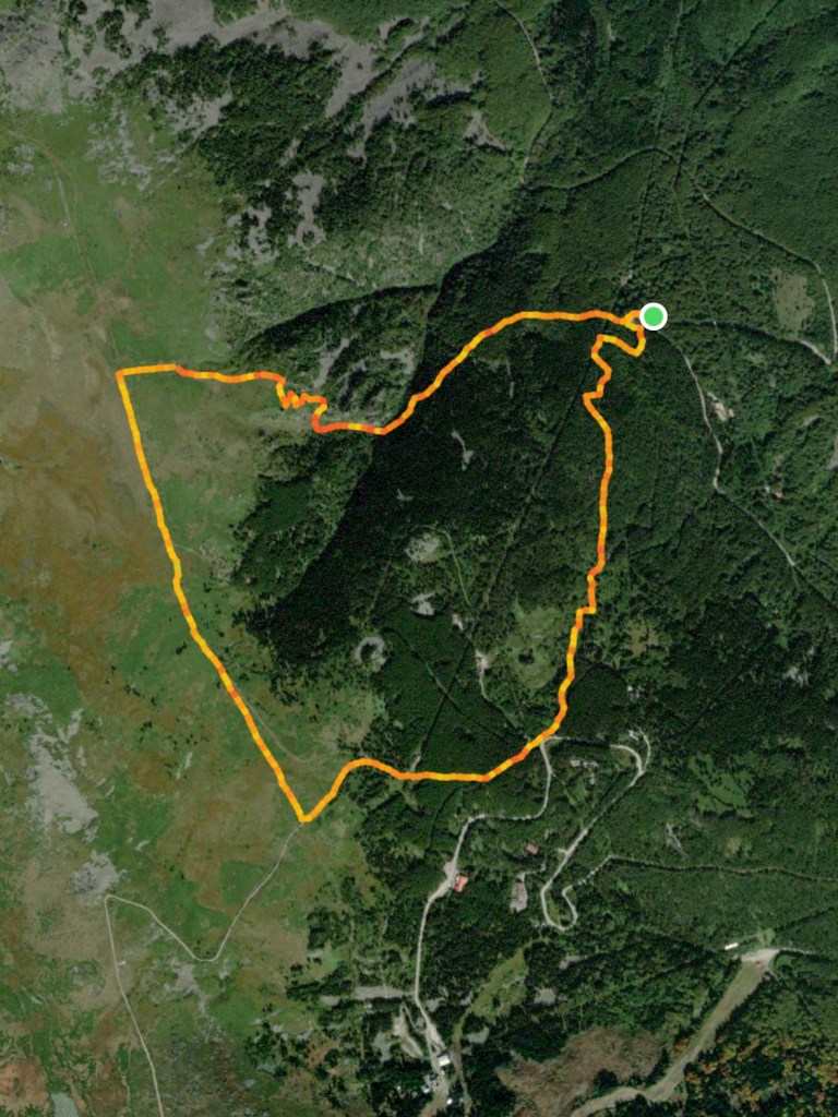
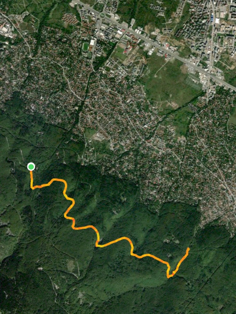
The following map shows where we parked the car (the green circle). We then walked south to Aleko hut, took a detour to see the chair lift on Vitoshko Lake, returned to the hut, zigzagged up the mountain to Cherni Vrah; on our return, we decided to take the slip road back to Goli Vrah, where we rejoined the main road, turned right and walked back to the car. Please bear in mind that Aleko can be busy at weekends.