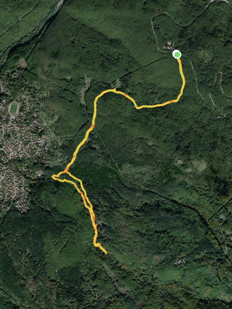
Starting Coordinates: 42.60447, 23.30224
Distance: 7.3 km
Elevation Gain: 430 m
Time: 3¼ hours
Difficulty: Moderate
Transport: by car, or by bus no. 66 to the stop for Bay Krastyo
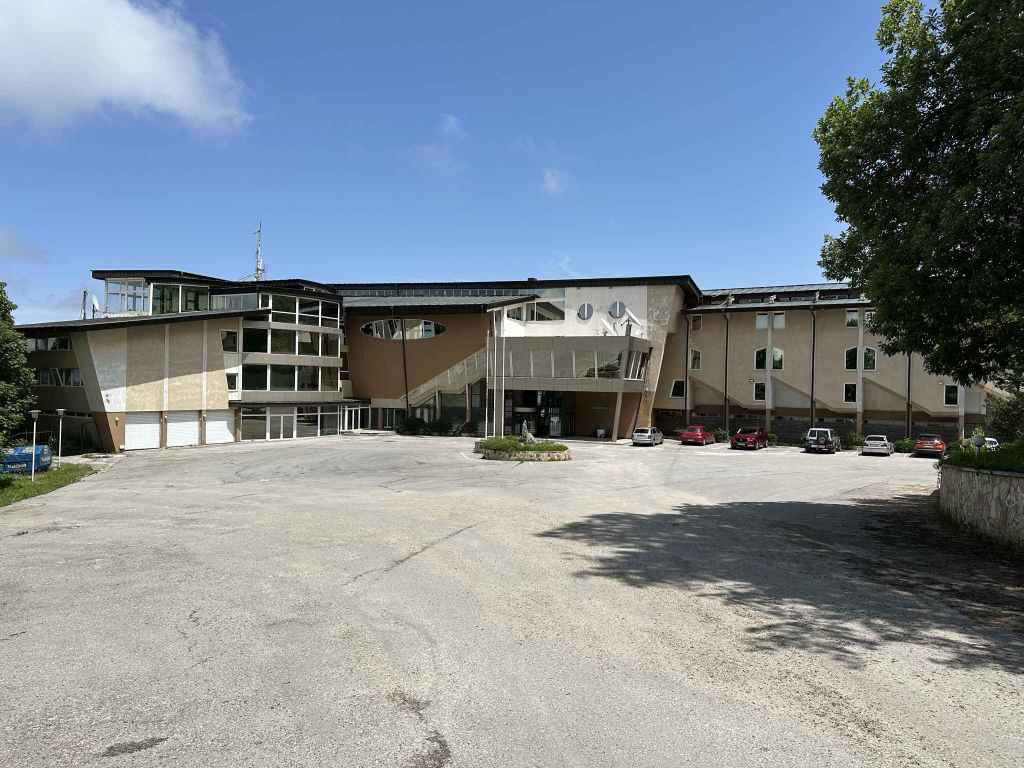
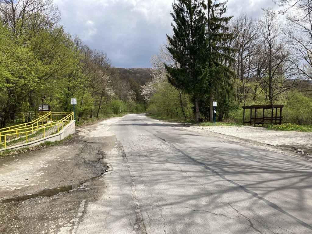
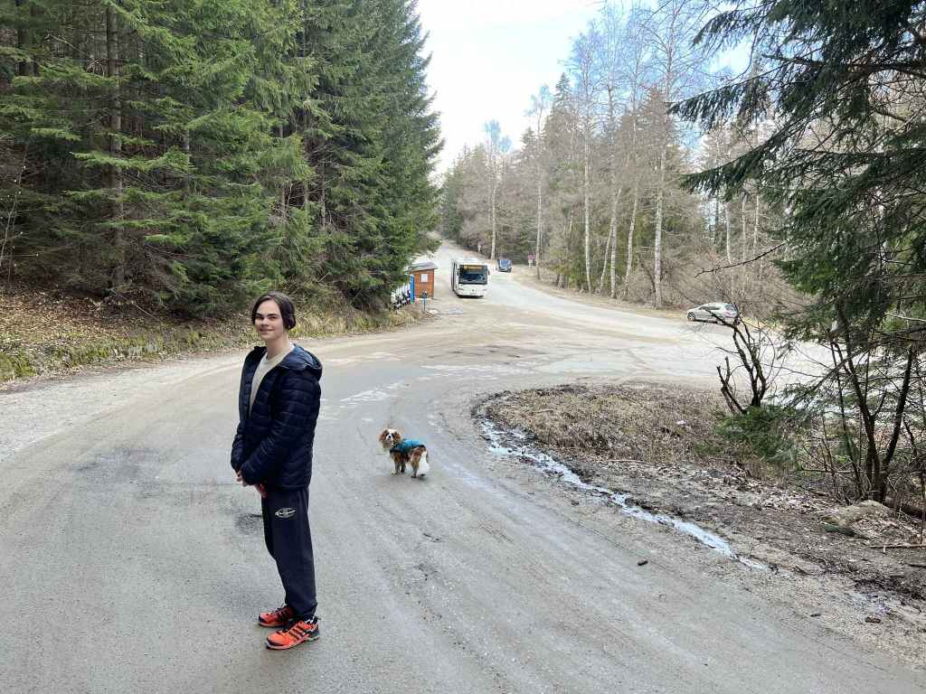
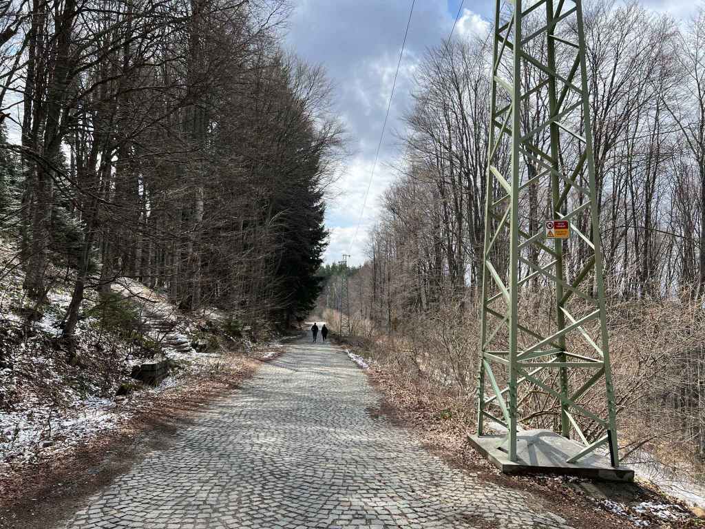
The slip road to Bay Krastyo, the midway station on the Dragalevtsi chair lift. 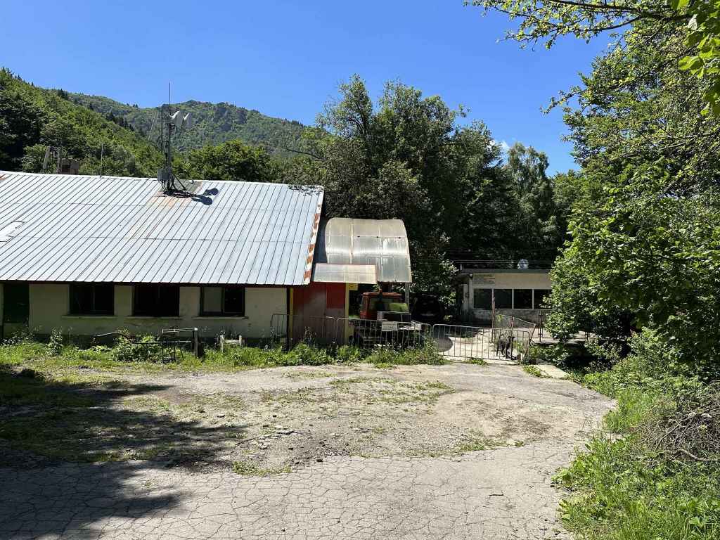
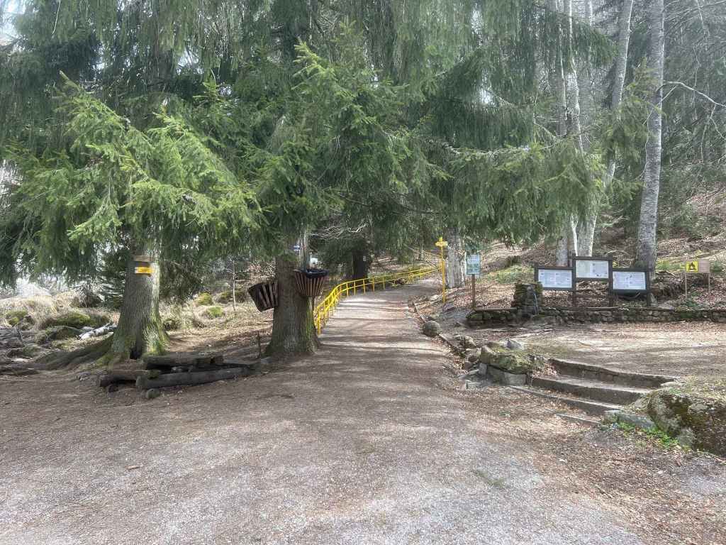
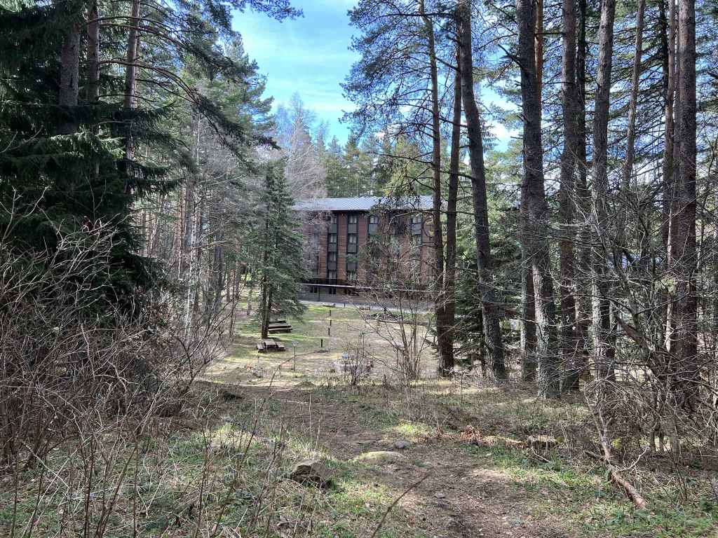
Bay Krastyo station. 
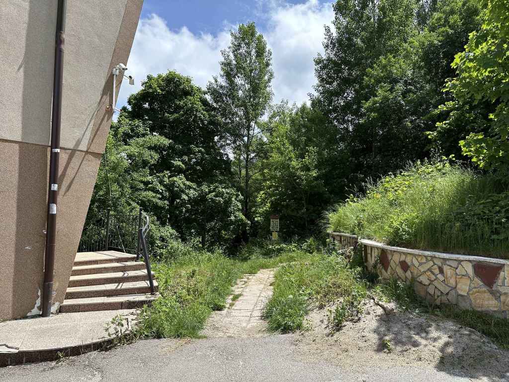
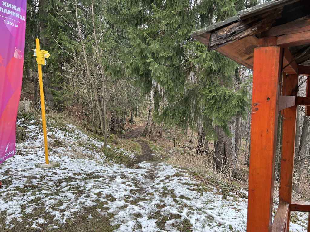
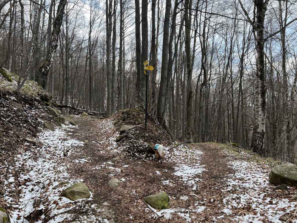
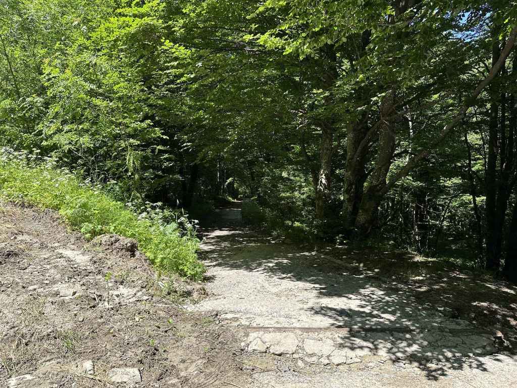
Next to the station is a picnic table under a tree and a sign for the E4 path. 
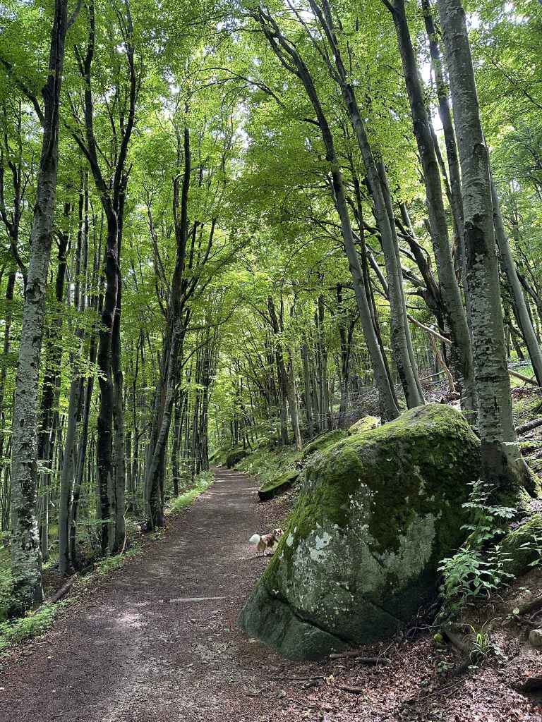
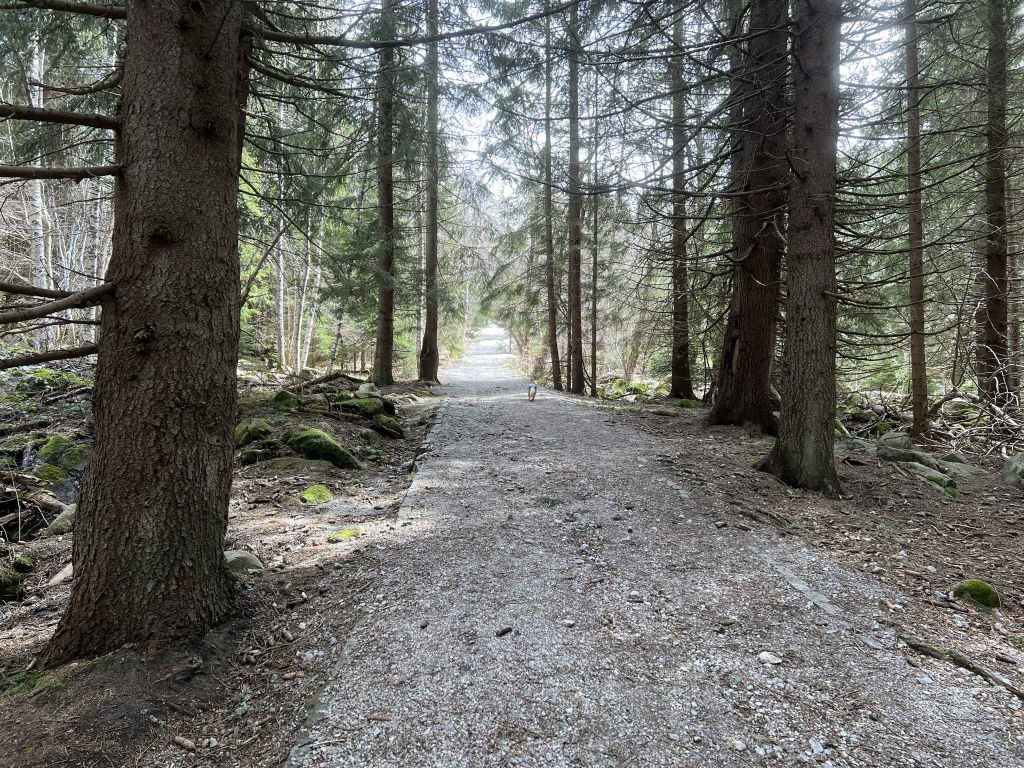
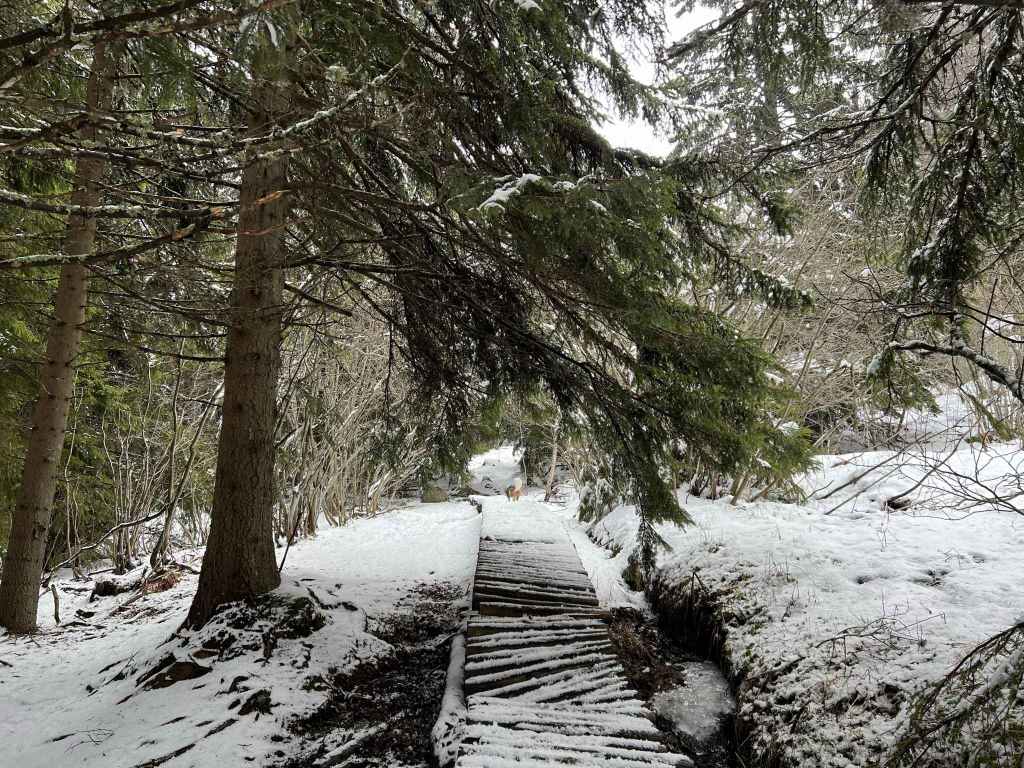
After going under the chair lift, the path enters beautiful beech forest. 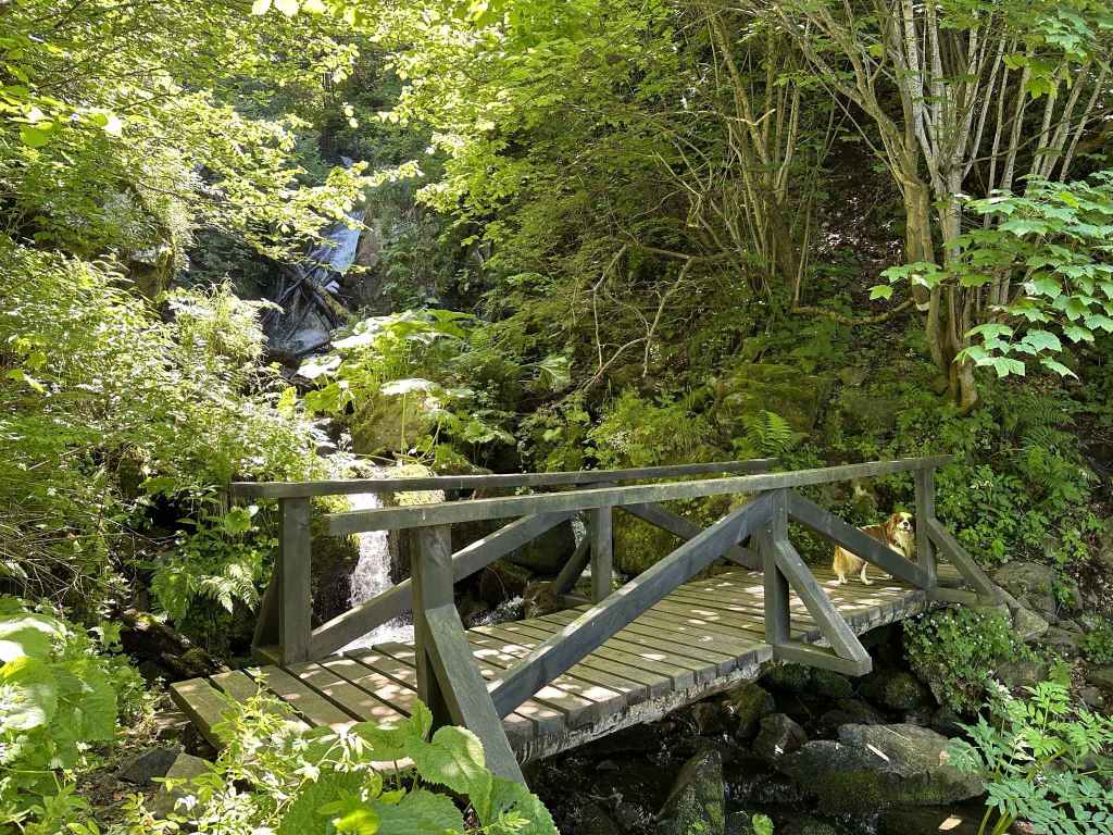
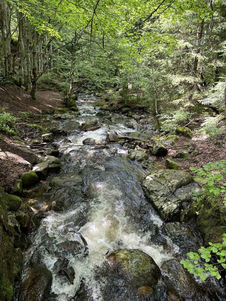
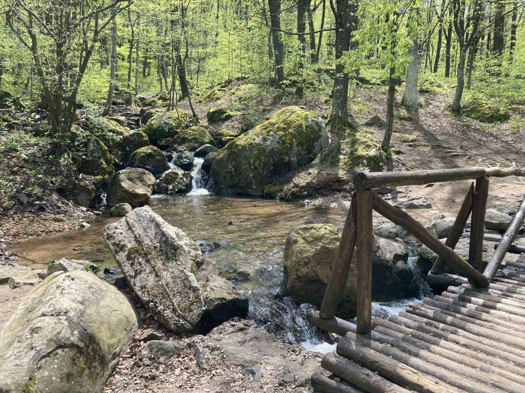
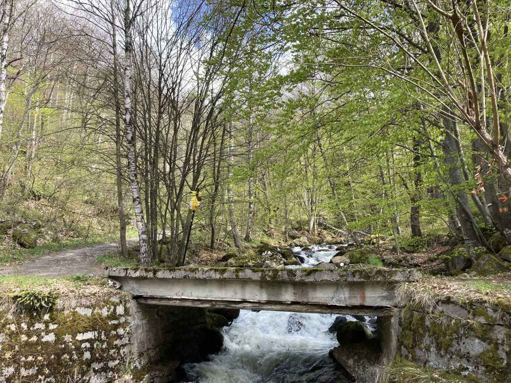
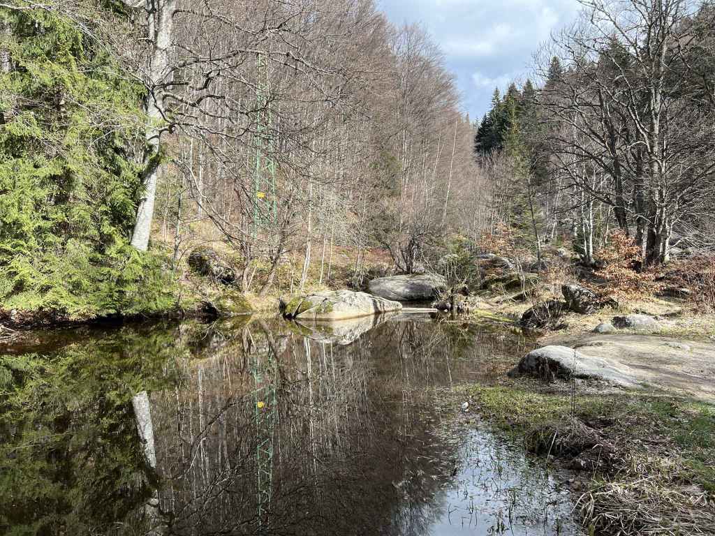
In ten minutes, it crosses Dragalevtsi River. 
Dragalevtsi River. 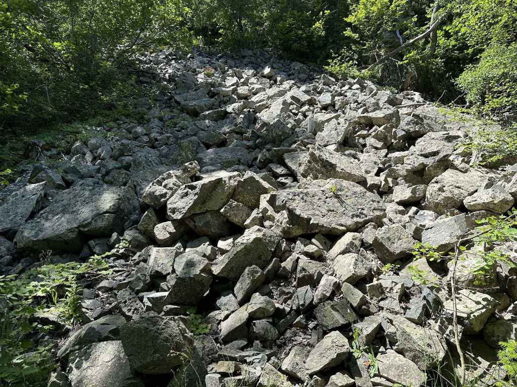
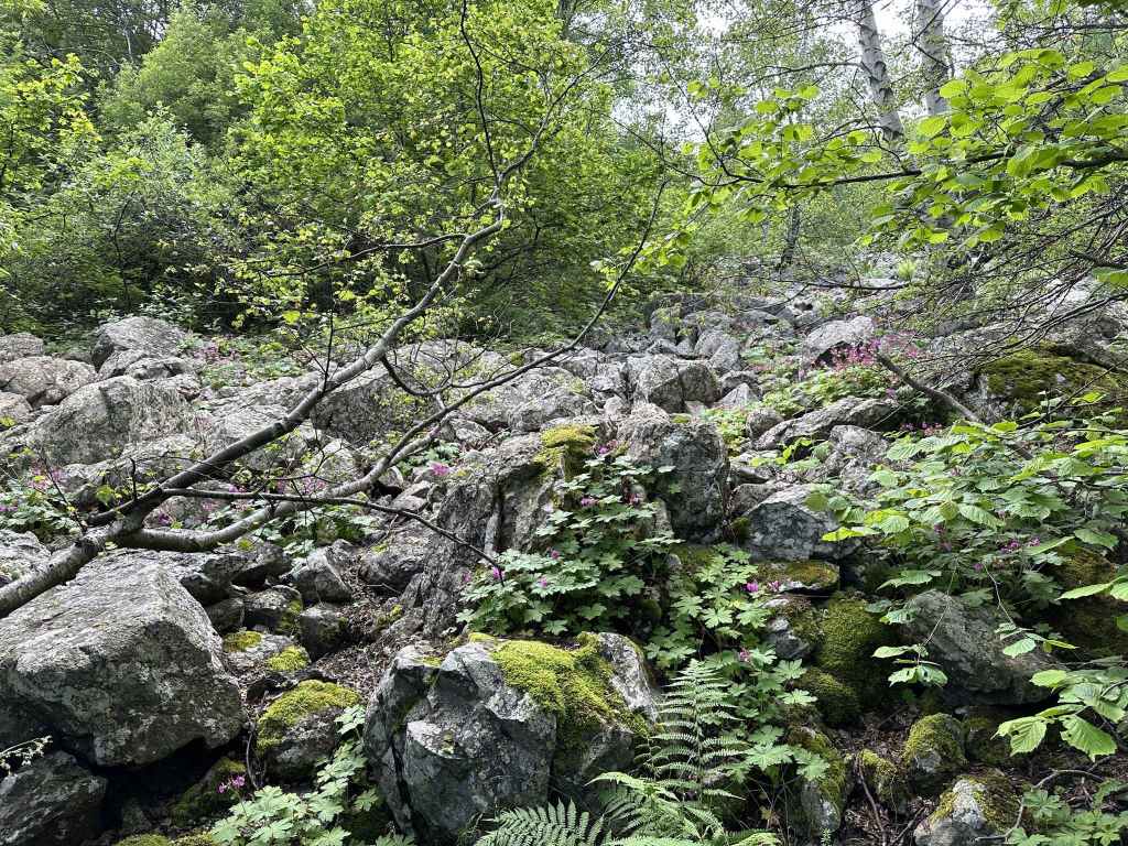
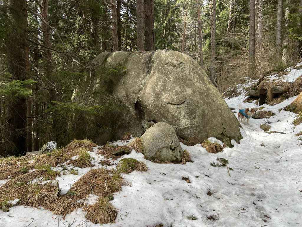
The first, smaller moraine field. 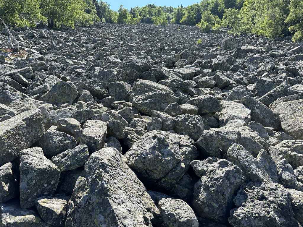
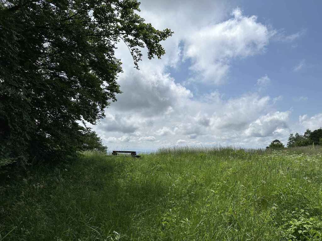
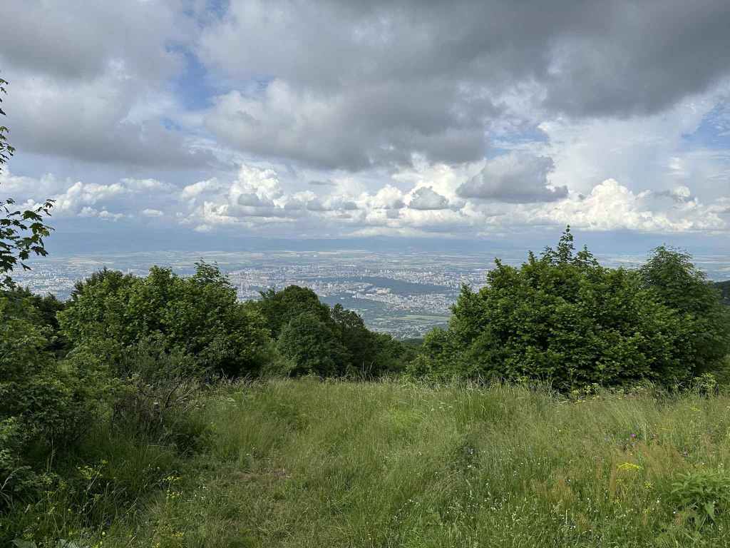
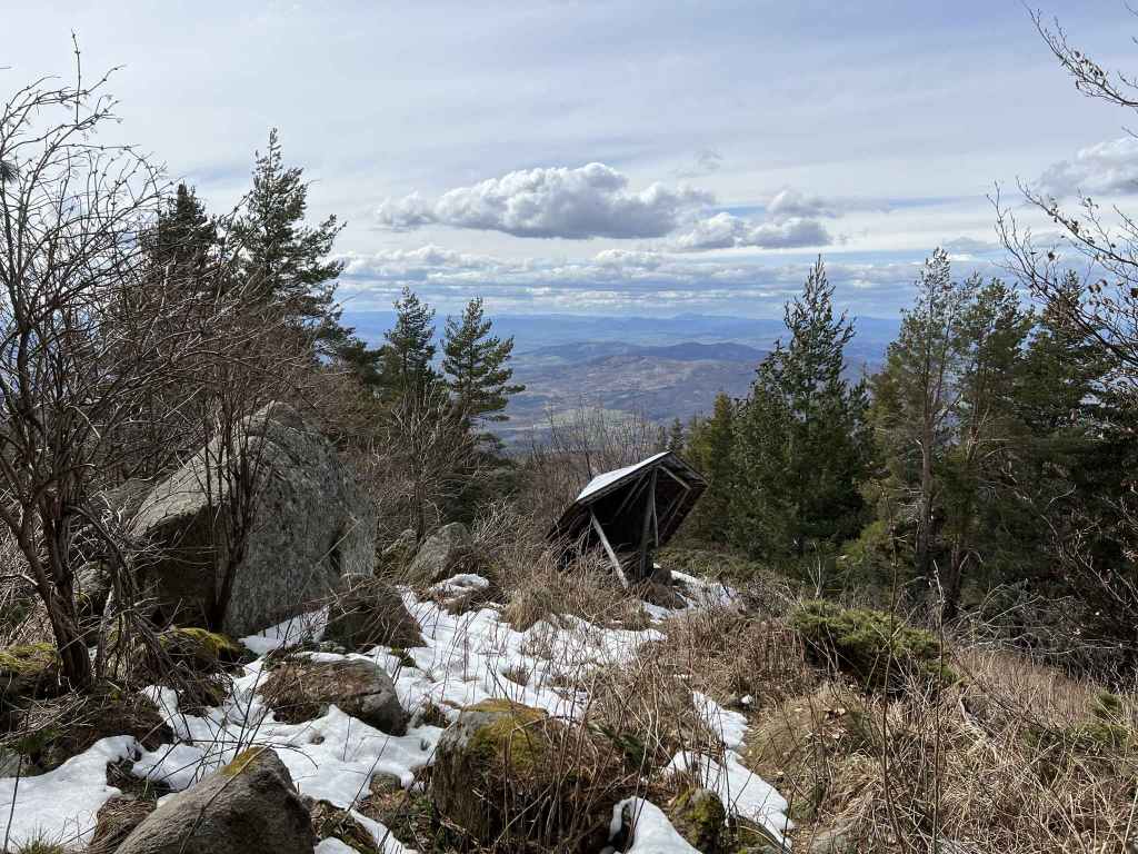
The second, larger moraine field. 
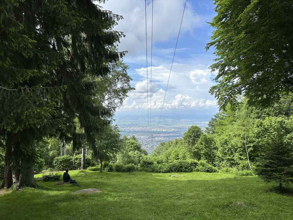
This moraine field offers wonderful views of Sofia and the Balkan behind. 
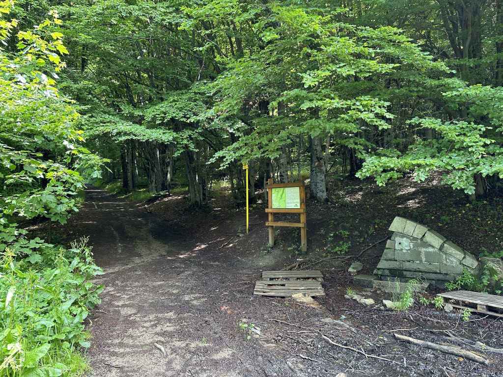
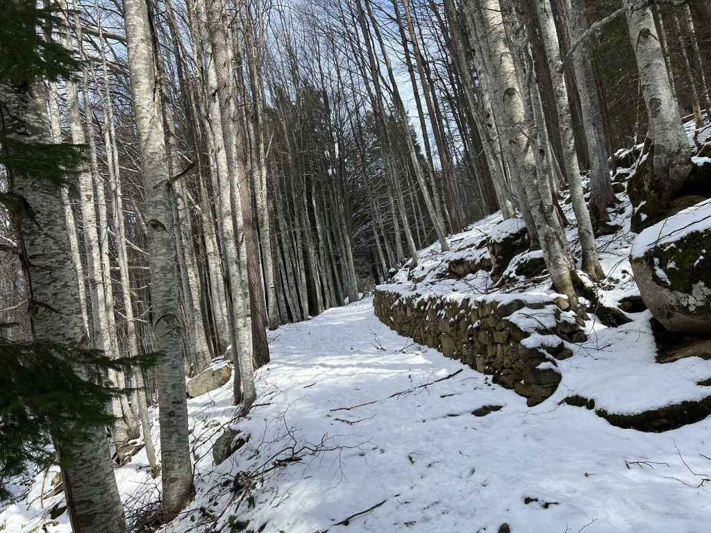
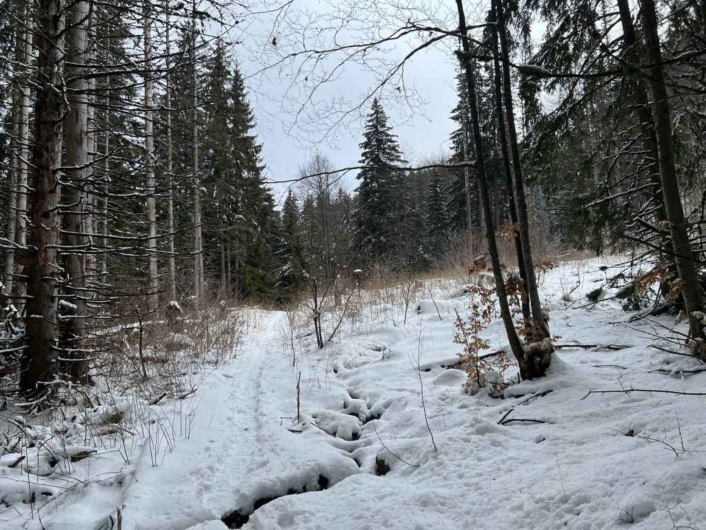
The path to Kikish re-enters the forest. 
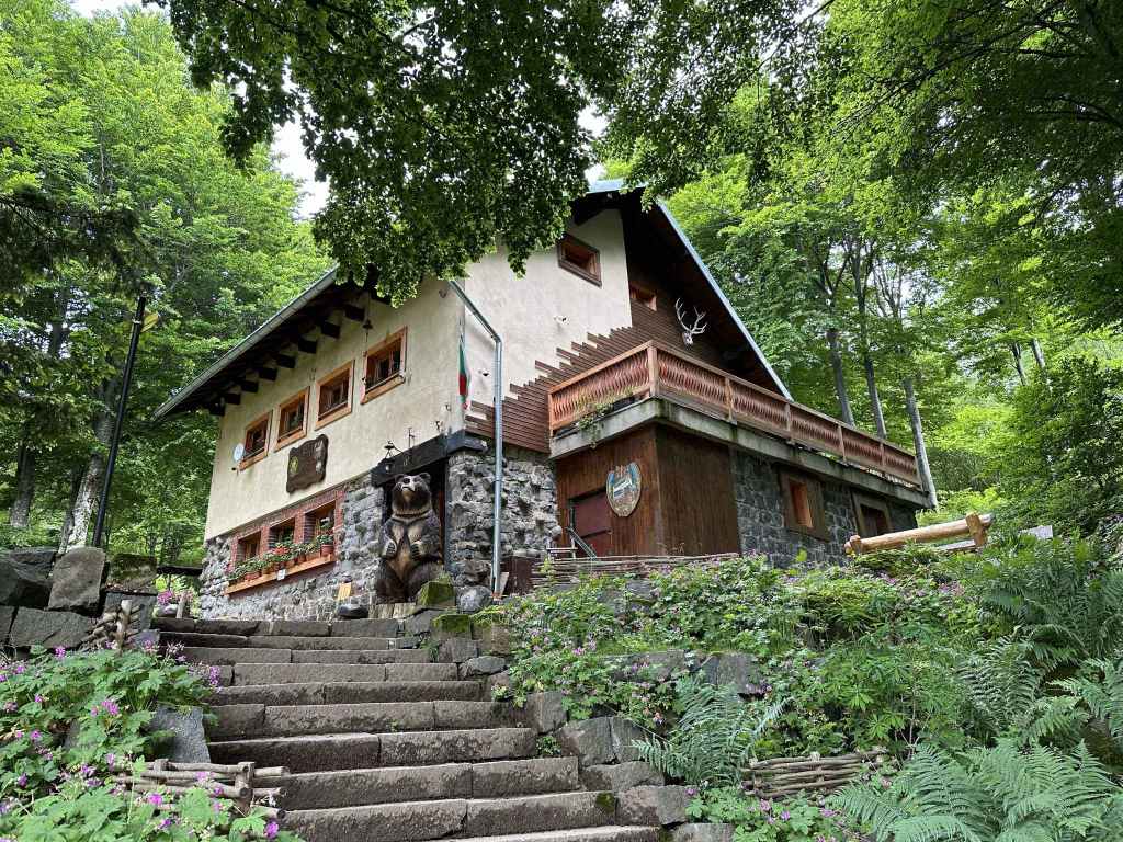
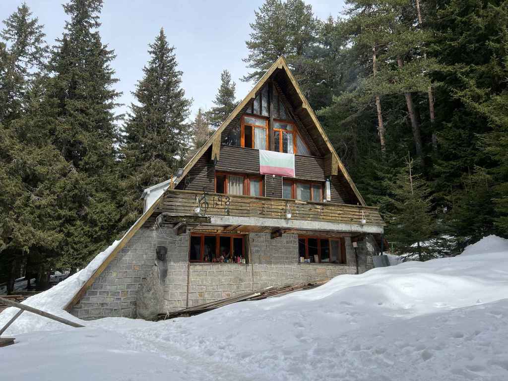
Kikish mountain hut, a good place to stop for refreshment. 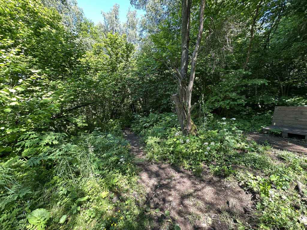
From Kikish, a path heads east to Dragalevtsi Monastery. 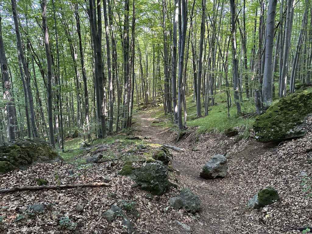
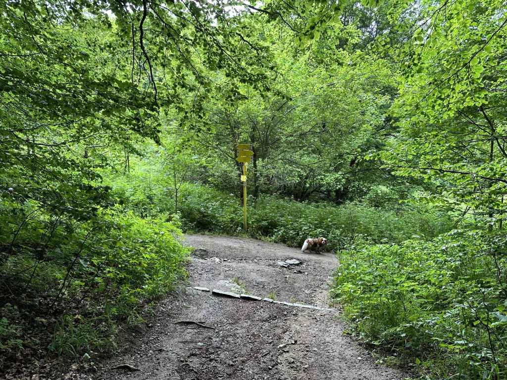
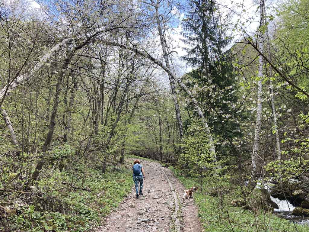
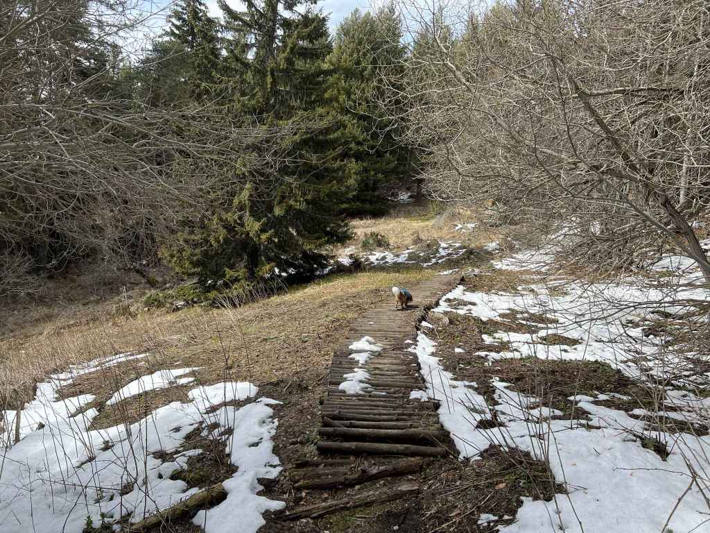
The path through the forest. 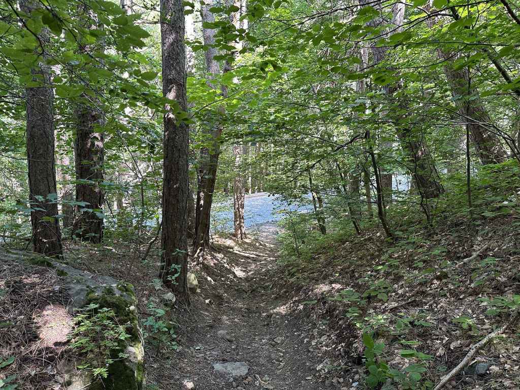
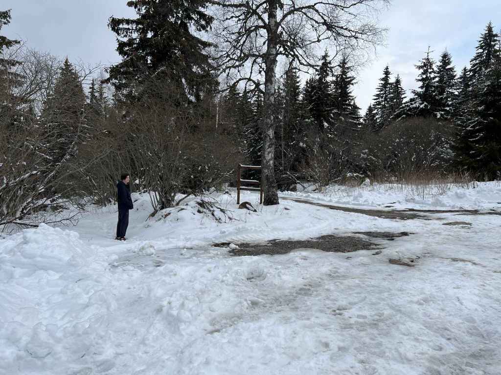
Cross the road in front of you. 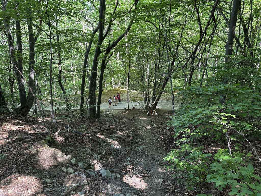
You soon join a much wider path, with Dragalevtsi Monastery on the left. 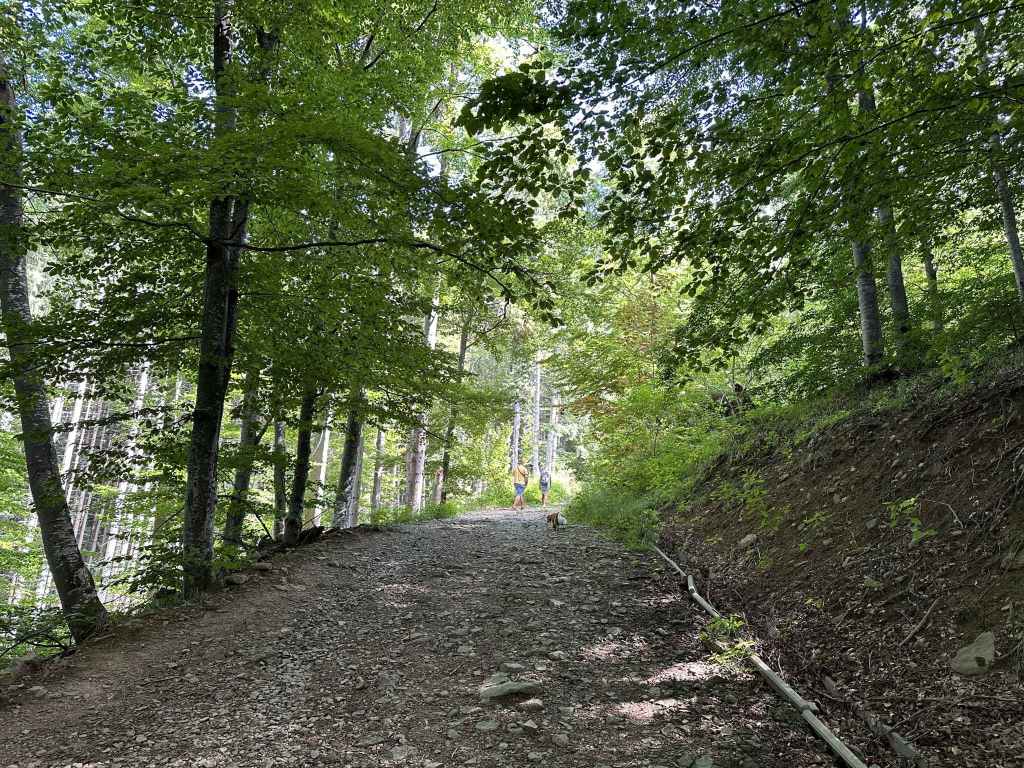
Our route takes us back uphill. 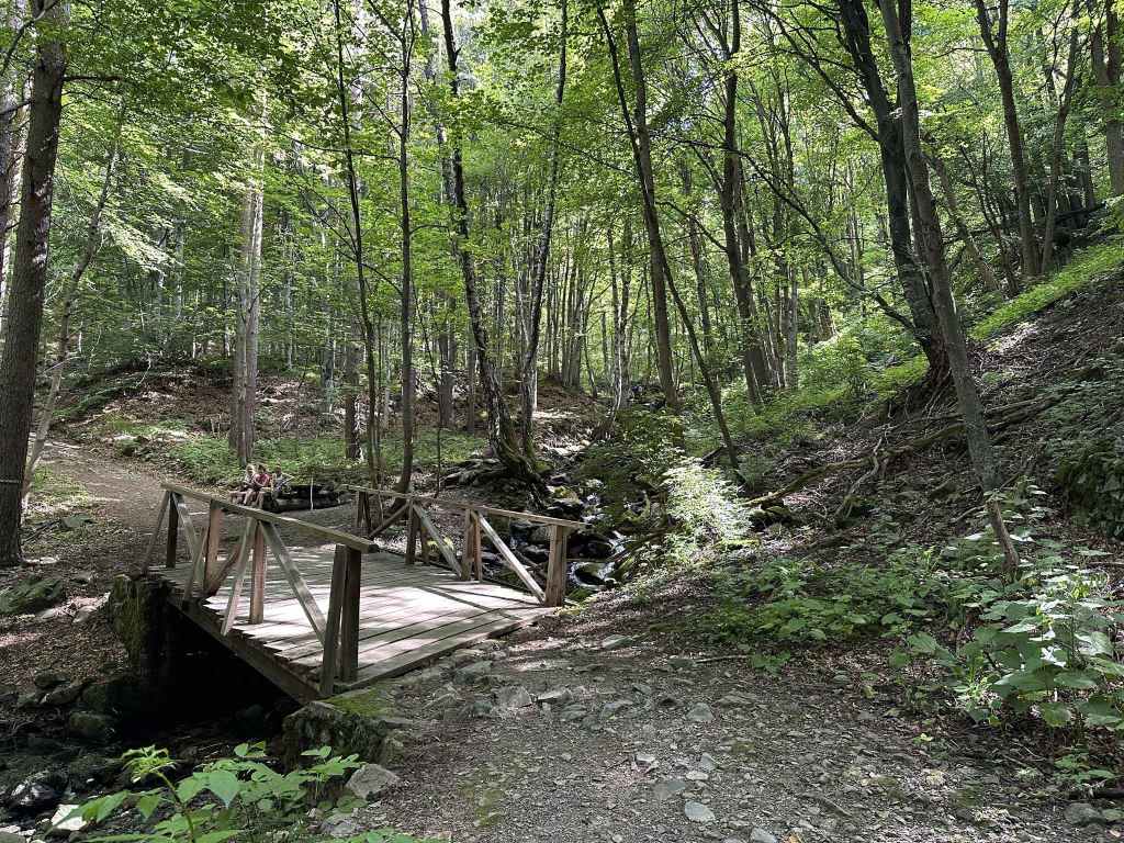
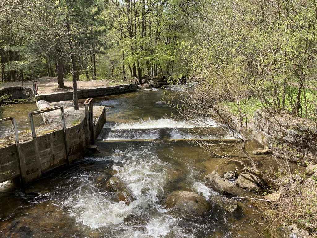
Back over Dragalevtsi River. 
The two paths run parallel, then separate. 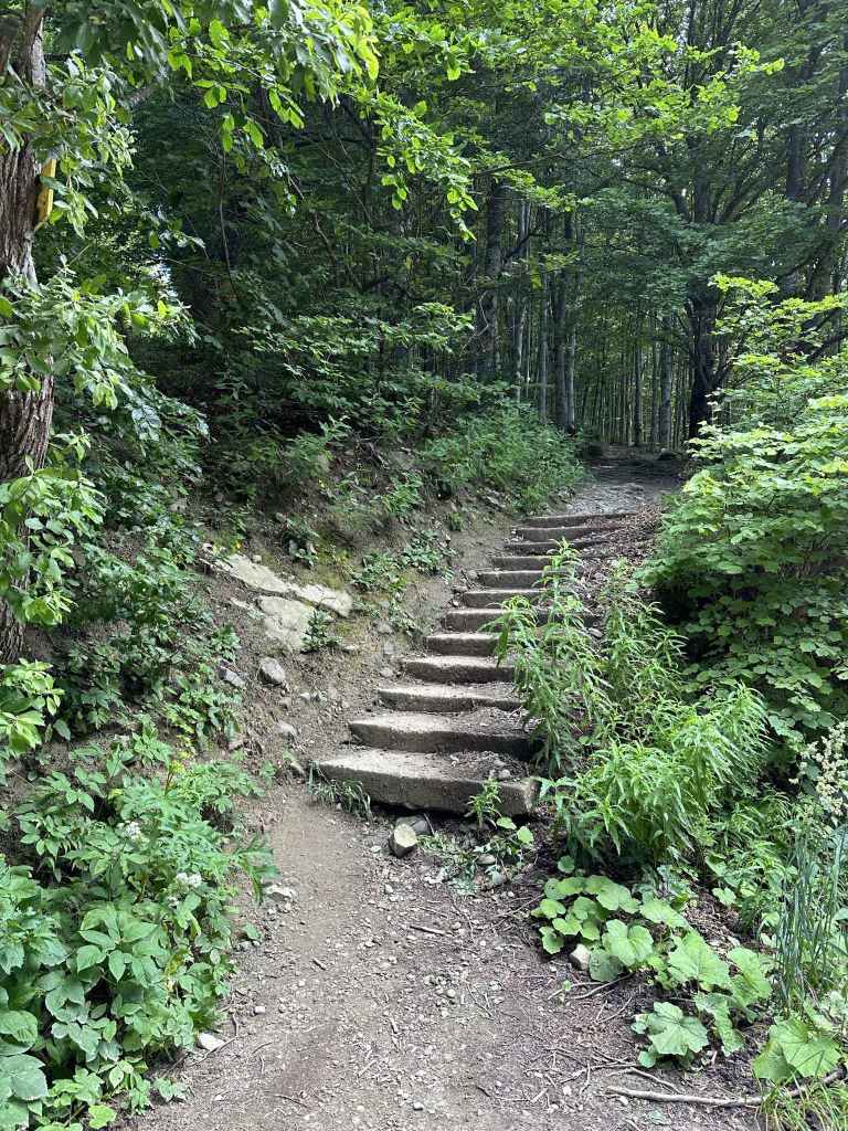
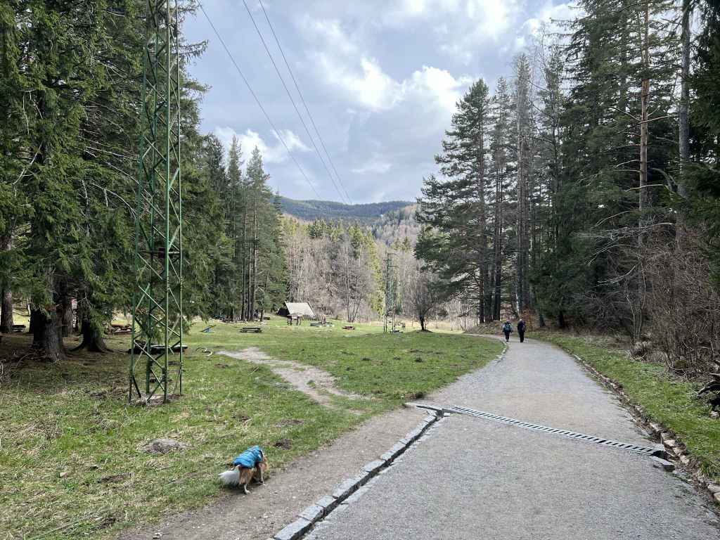
At the chair lift, return to the road on the right and take the path to Bay Krastyo, Aleko and Cherni Vrah. 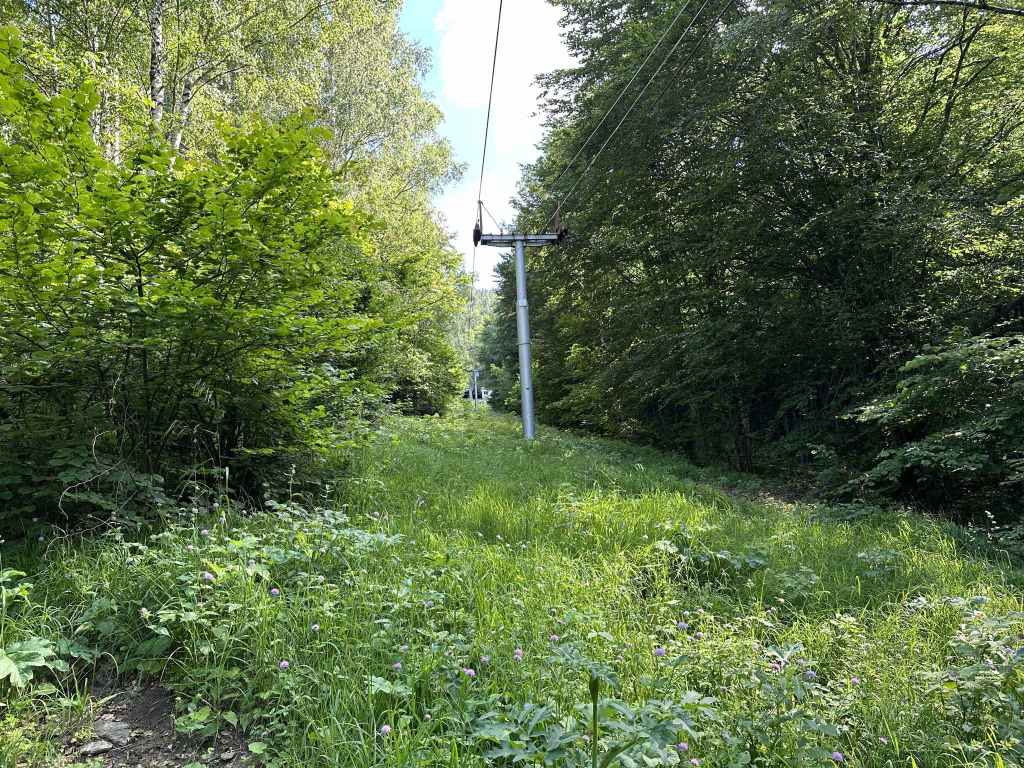
This path goes under the chair lift. 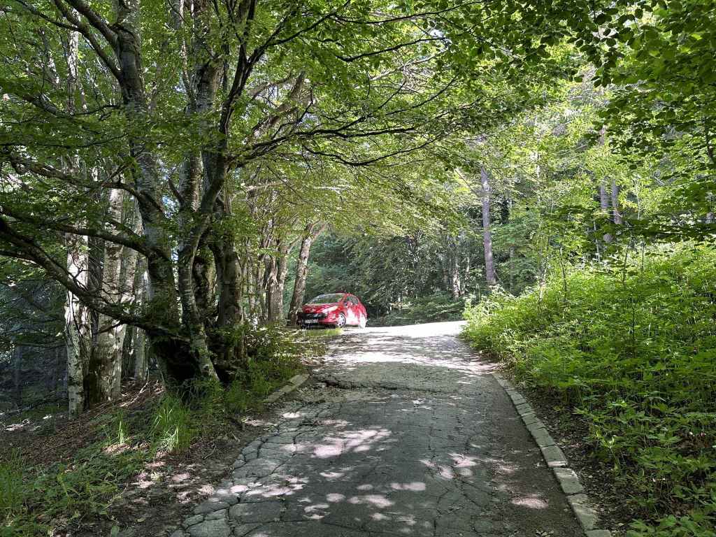
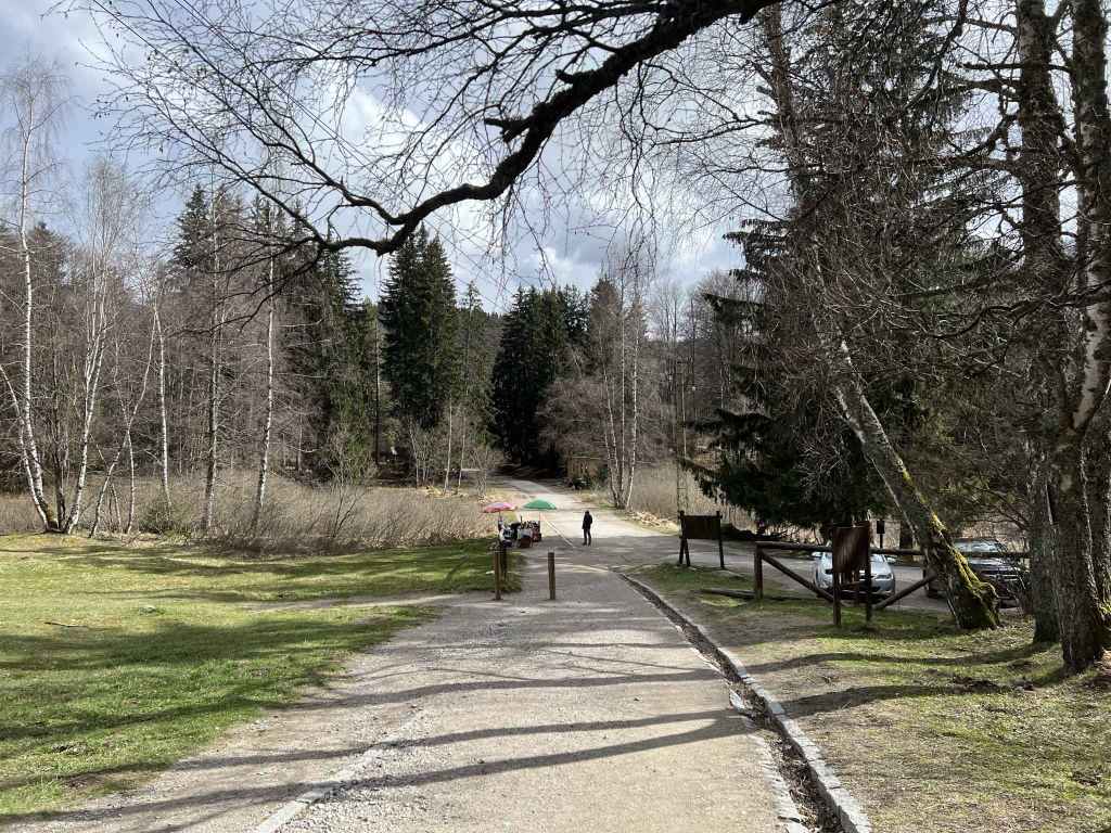
Soon you are at the slip road, which takes you back to the main road.
This is a truly wonderful walk that takes you to one of the biggest moraine fields on Vitosha and offers superb views of Sofia. It also throws in two wonderful glimpses of Dragalevtsi River. You must access the mountain via the village of Dragalevtsi. You leave the central square by the cobbled road in the far corner and drive up the mountain. After 1.5 km, ignore the turning on the left for the “Vodenitsata” restaurant. Continue straight. The road does a big curve and after another 3 km you come to the bus stop for Dragalevtsi Monastery, the starting point for two walks: Boyana Lake and Simeonovo Lakes. Continue uphill and after another 3 km you pass under the Dragalevtsi chair lift. In another 1.5 km, there is a slip road on the right that takes you to what was the midway station on the Dragalevtsi chair lift, Bay Krastyo. You can park under the trees here. This is also the penultimate stop on the 66 bus route.
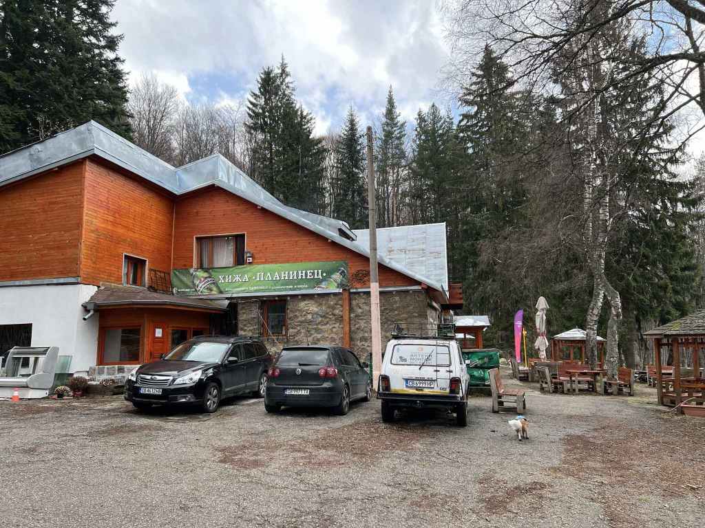
Walk down the slip road on your right. You will pass a bike trail and a low building on the right, then a restaurant on the left. Immediately after the restaurant is the beginning of a path to Dragalevtsi Monastery on the right. You will come back on this path. But for now continue straight. In front of you is the midway station on the chair lift, now sadly disused. I still remember carrying my young child on this lift and jumping off at the station. It is such a shame that the lift no longer works.
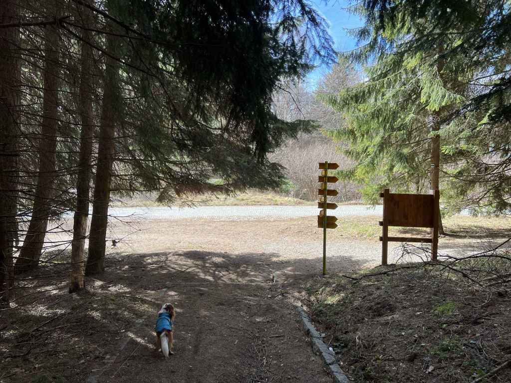
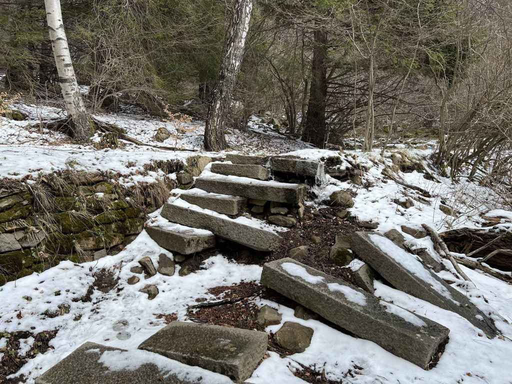
With the station in front of you, there are some steps on your left, a picnic table under a tree, and a sign for the E4 European long-distance path and Cherni Vrah. Climb the steps and take this path, with the station now on your right. It goes around the station, under the chair lift, and immediately enters forest. There is then a sign for Kikish and Kamen Del mountain huts, which you can visit on the walk Kopitoto. A path joins from the left. Keep going straight. When you reach some moraines (large glacial boulders) with a view of Sofia, the path veers left and in about ten minutes you reach a bridge over Dragalevtsi River, your first view of the river. You will see it again further down on the way back.
The advantage of this walk is that for the most part you are in forest, so the path is shaded and cool even on a hot summer’s day. In a couple of minutes, you reach the first moraine field, which continues for a few minutes. Walking across these fields is a little tiresome, especially for our four-legged friends. After the first moraine field, there is a lookout over Sofia on the right. Keep going and in another ten minutes you come to the big moraine field, which is in the open and offers wonderful views of Sofia. It takes several minutes to cross. This and Zlatni Mostove are the best places to see the moraines up close.
At the end of the moraine field, the path dives back into the forest and the shade once more. In three minutes, there is a path on your right signposted for Dragalevtsi Monastery. This is a more direct route, but we will continue to Kikish mountain hut, the furthest point on the walk Kopitoto, so that we can say we have covered the whole of the front of the mountain. The path begins to climb, in ten minutes it reaches a kind of summit, with a path on the left and right, and then it descends to the mountain hut, which is fifteen minutes after the earlier path to Dragalevtsi Monastery.
Kikish is a good place to rest and have some refreshment. There is a small pond and a stream, with chairs and tables. If you continue on the path you were on, you will repeat the second half of the walk Kopitoto, which is not necessary. So now you want to head east on a second path to Dragalevtsi Monastery that starts next to the stream, on the opposite side of the pond to the hut. It takes just over half an hour to reach Dragalevtsi Monastery from here. The path is a little steep in places, but again shaded. In 25 minutes, you will see the road on your right. Ignore this, continue down for another couple of minutes, cross the road in front of you, continue on the path on the other side, and in another five minutes you will come to a much wider path with Dragalevtsi Monastery on your left.
However, unless you want to visit the monastery, now turn right and go uphill. The path is very lovely because it is wide. In ten minutes, the first path to Dragalevtsi Monastery we ignored earlier joins this path from the right. Keep straight. In another ten minutes, you reach a second bridge over Dragalevtsi River. Five minutes after the bridge, you must leave the path and take a higher path on the right that is signposted for Bay Krastyo and Aleko. The two paths run parallel for a while, but then separate, as all paths do. Continue to climb, and in a couple of minutes you will be back at the chair lift with the road on your right.
You now have a fifteen-minute walk uphill to get back to the midway station, Bay Krastyo. Two or three paths all complete this ascent, intersecting and dividing as they go. It doesn’t really matter which path you take. At the chair lift, you can take the larger path uphill to the road. Then go right for fifty metres until you come to some steps on the left signposted for Bay Krastyo, Aleko and Cherni Vrah. Take this path, which goes uphill, then left, uphill, then left under the chair lift, uphill (the midway station now visible in front of you, the chair lift on your right) until it joins the slip road where we saw it earlier. At the slip road, turn left and in five minutes you will be back at the main road.