Starting Coordinates: 42.60455, 23.30066
Distance: 7.7 km
Elevation Gain: 450 m
Time: 3½ hours
Difficulty: moderate-hard
Transport: by car, or by bus no. 66 to the stop for Bay Krastyo

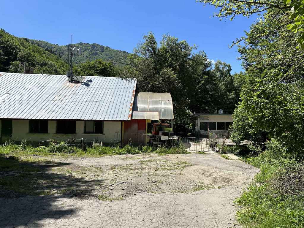
The penultimate stop of the 66 bus route with the hut in the bend of the road. 
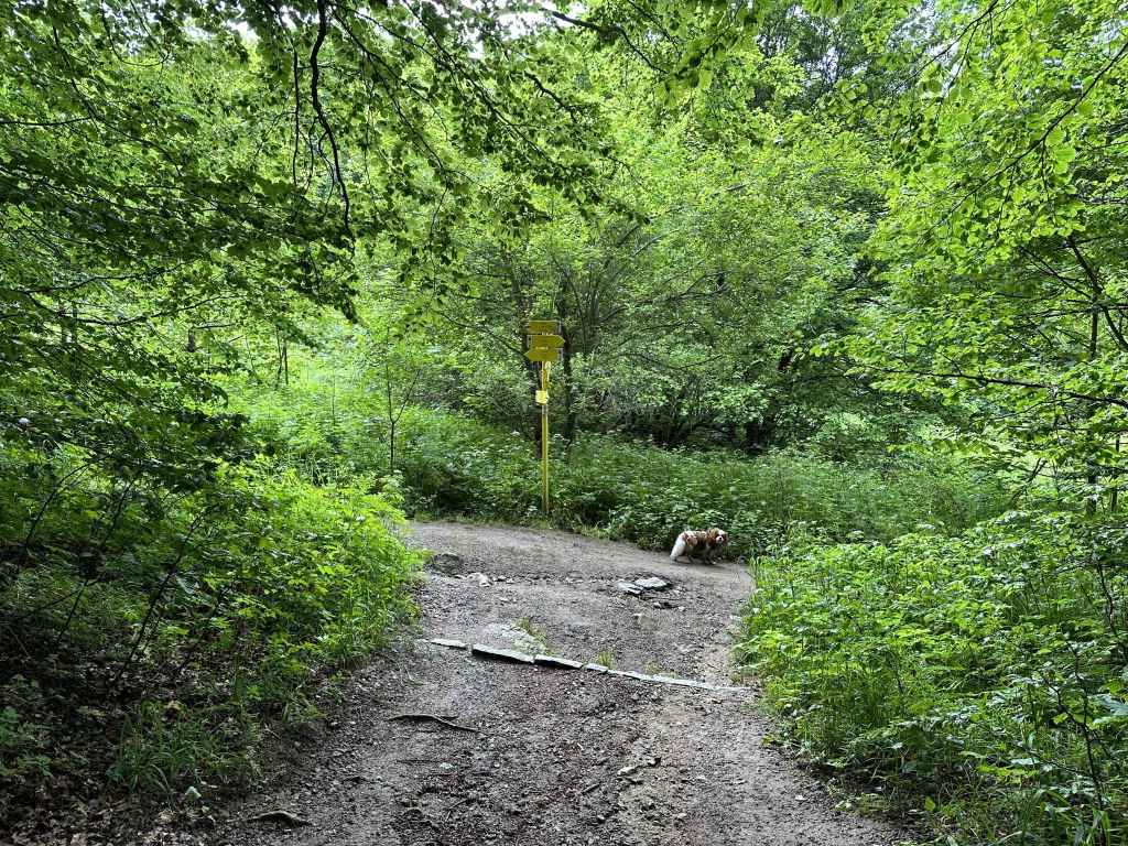
The path to Kominite. This is the path you will come back on. 
The path (E4) to Aleko and Cherni Vrah. Take this path to the top of the chair lift (Goli Vrah). 
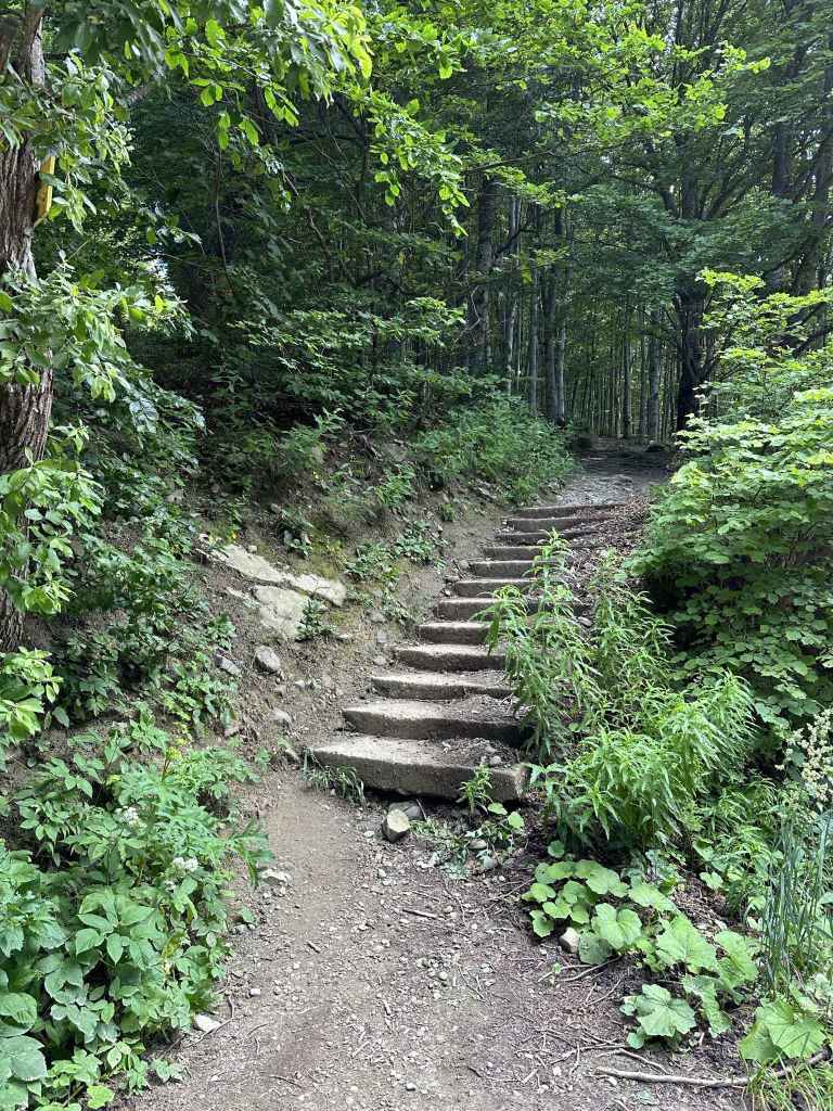
Climb the log steps. 
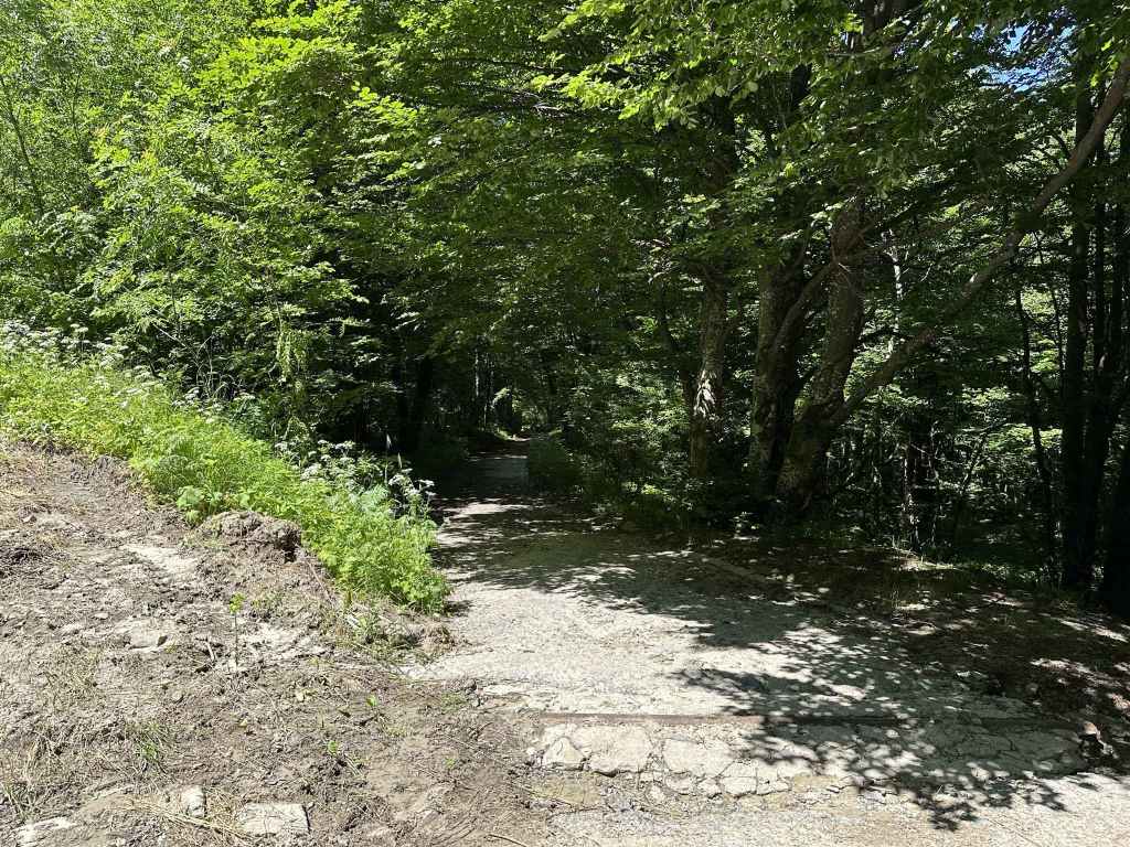
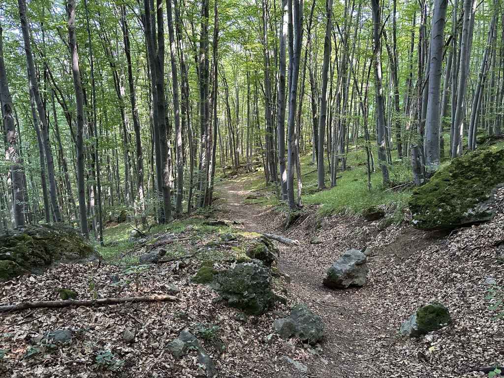
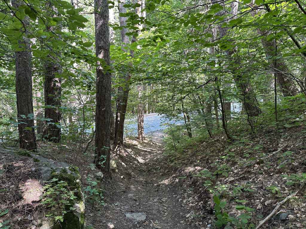
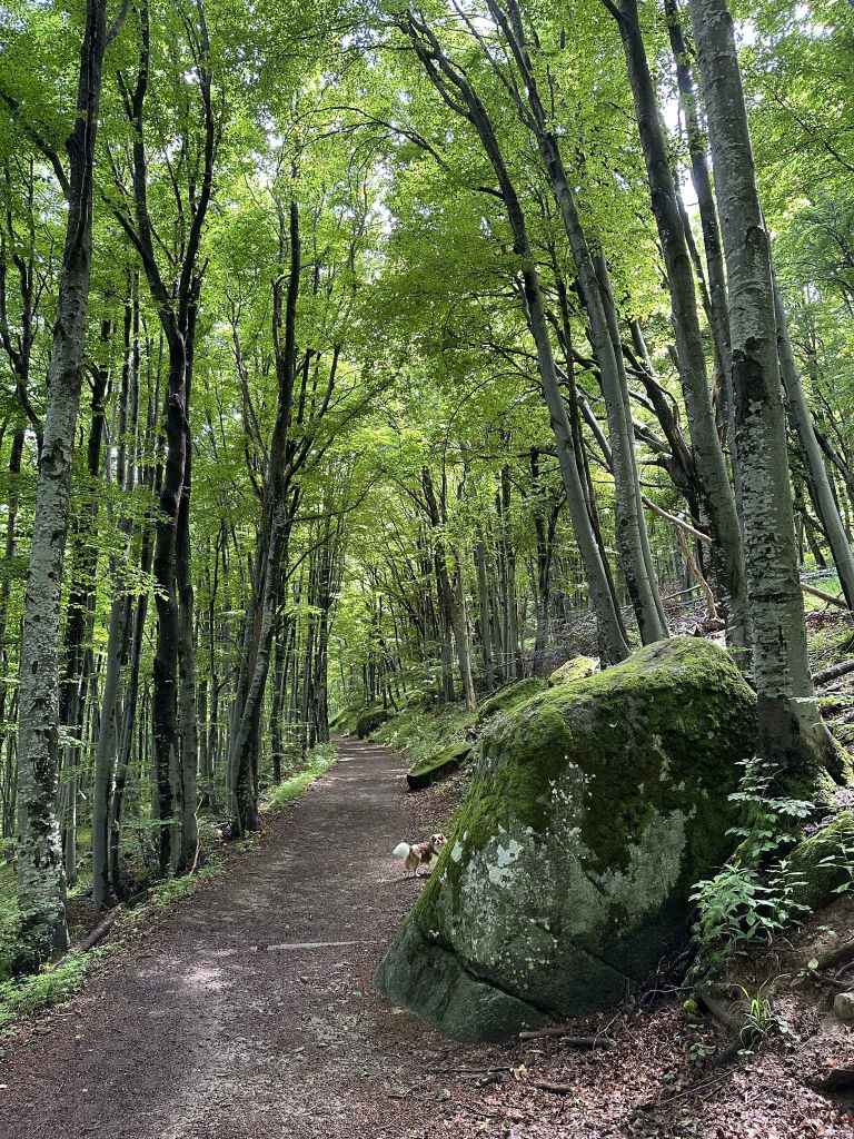
The path through the forest, having left the chair lift behind. 
The small fountain. 
The top of the chair lift, Goli Vrah. 
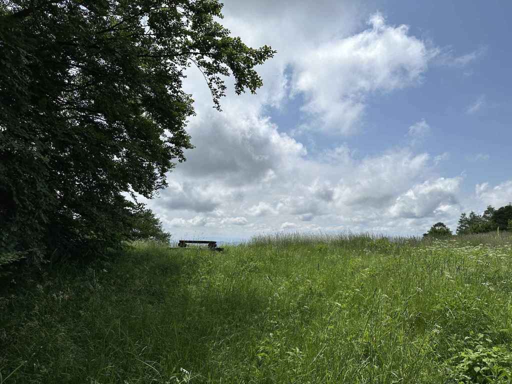
The beginning of the path across the peat reserve in the direction of Ushite (visible in front of you). 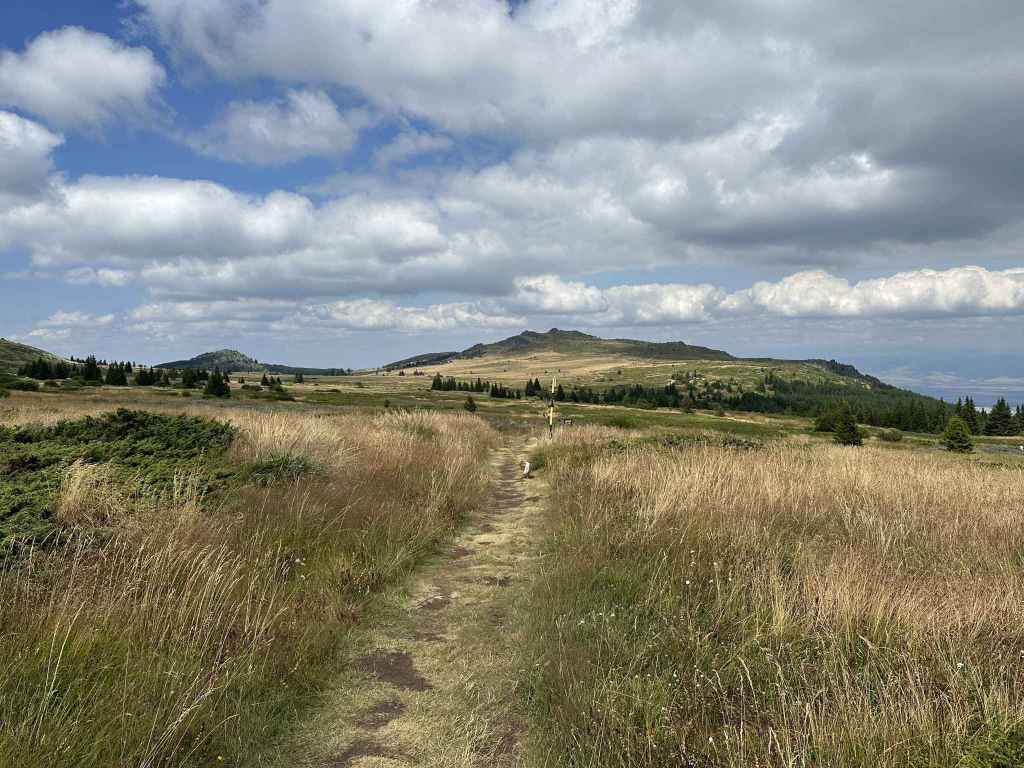
The peat reserve with Ushite behind. 
A description of the peat reserve. 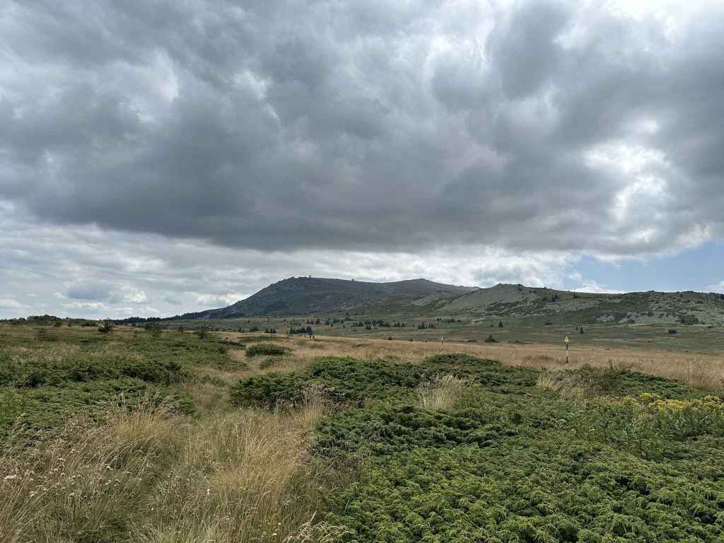
After turning right to go to Kominite, look back to see the summit. 
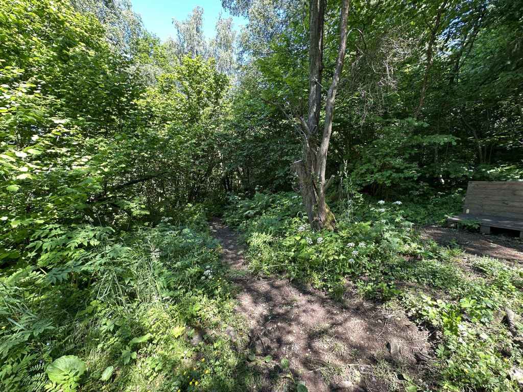
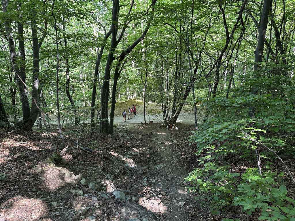
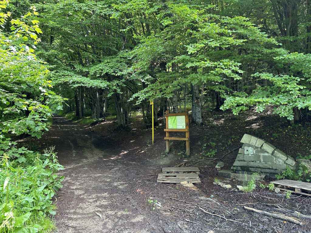
The picnic area next to the path from the peat reserve to Kominite. 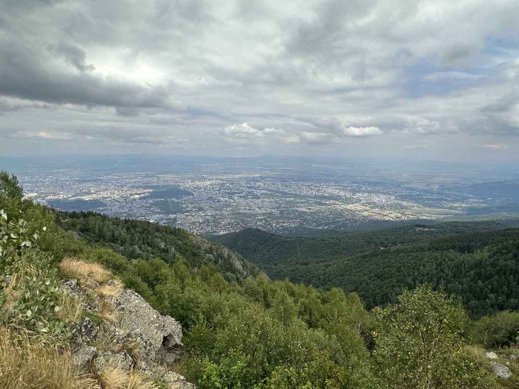
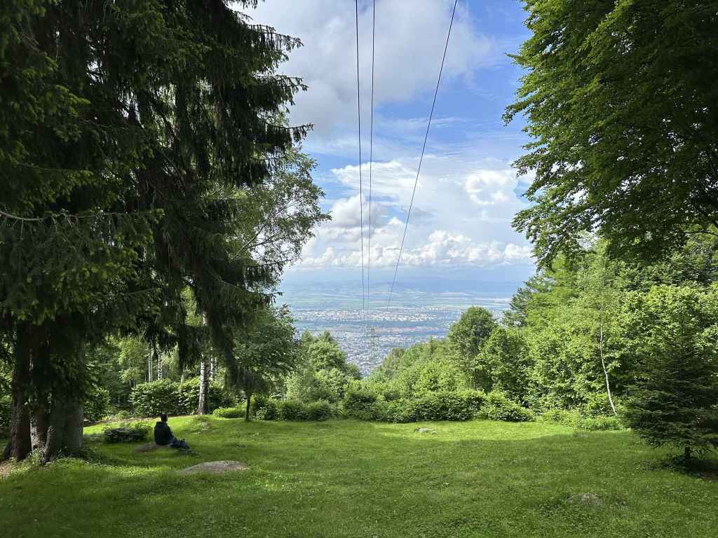
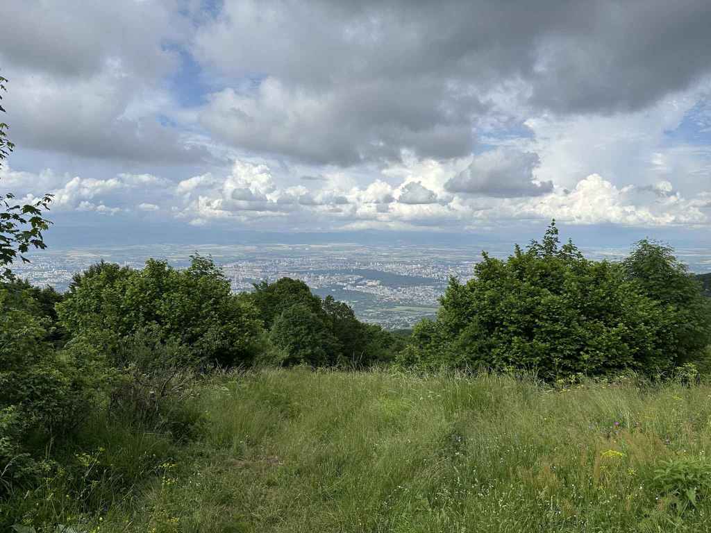
There are wonderful views of Sofia. 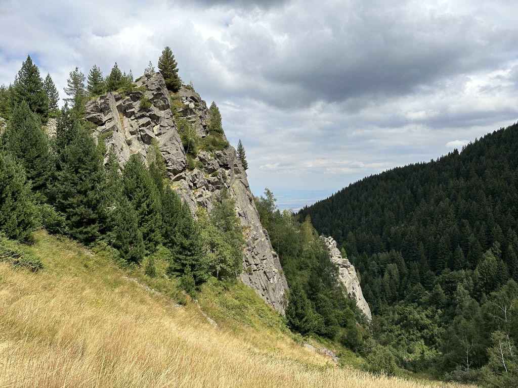
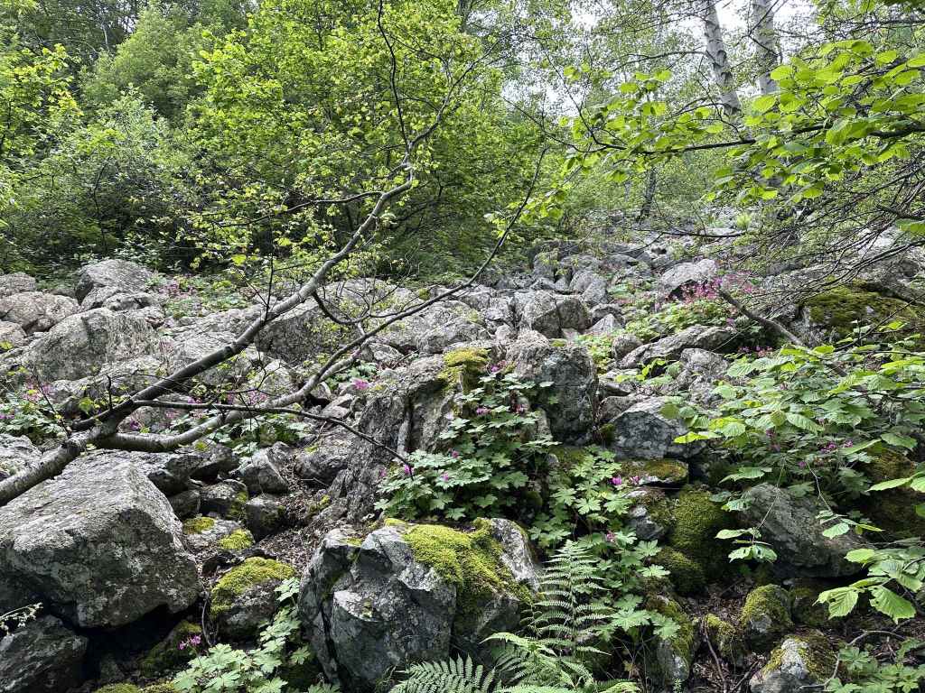
Kominite, a well-known rock climbing area. 
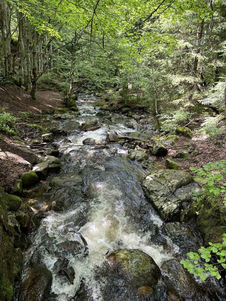
Dragalevtsi River, with Sofia in the background.
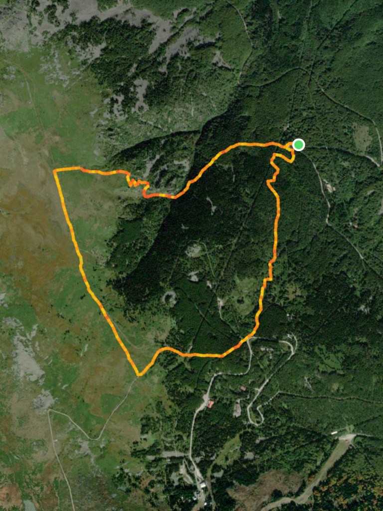
This is one of the higher routes on Vitosha, taking you to the peat reserve between Goli Vrah, the top of the Dragalevtsi chair lift, and Ushite, meaning “The Ears”, which is the part of the mountain most easily seen from Sofia. It is good to do it in reasonably fair weather. I have marked it “moderate-hard” because of the steep descent past the rock climbing area known as Kominite (“The Chimneys”), but the distance is comparable with other walks.
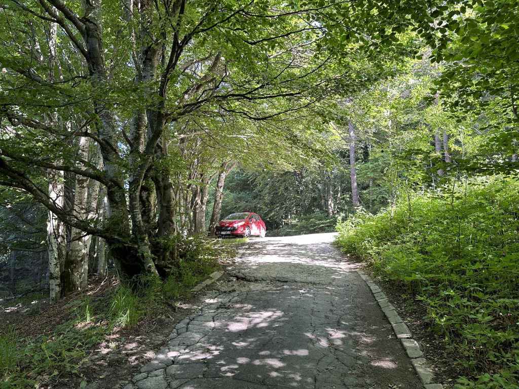
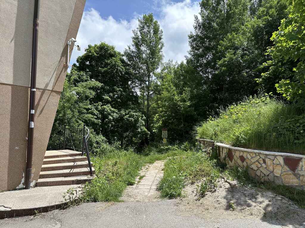
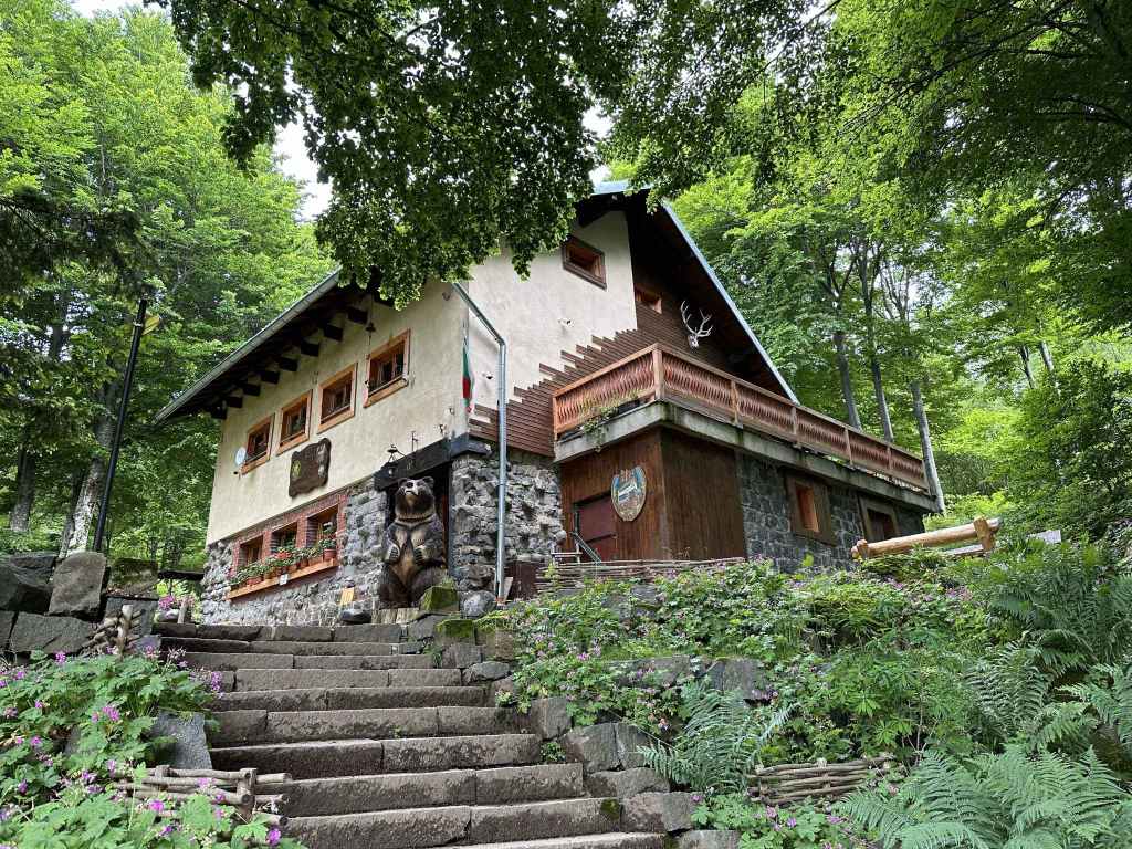
The starting point is the same as for the walk from Bay Krastyo to Kikish. You take the road that goes up the mountain from Dragalevtsi or bus no. 66. From the cobbled square of Dragalevtsi, you take the road in the far corner and carry on driving up the mountain for 9 km, ignoring the turning on the left for “Vodenitsata” restaurant. Stop at the slip road for Bay Krastyo, the middle station on the currently defunct Dragalevtsi chair lift, or get off at the penultimate stop of the 66 bus route.
Instead of walking down the slip road towards the station, however, you need to continue up the main road. After 80 metres, you will see a path signposted for Kominite. This is the path you will come back on. Continue around the corner for another 80 metres, and you will come to a second path on your right, the E4, signposted for Aleko and Cherni Vrah. This is the path you want, which begins on the other side of a hut inside the bend of the road with large heaps of what looks like cement.
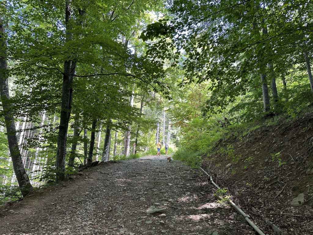
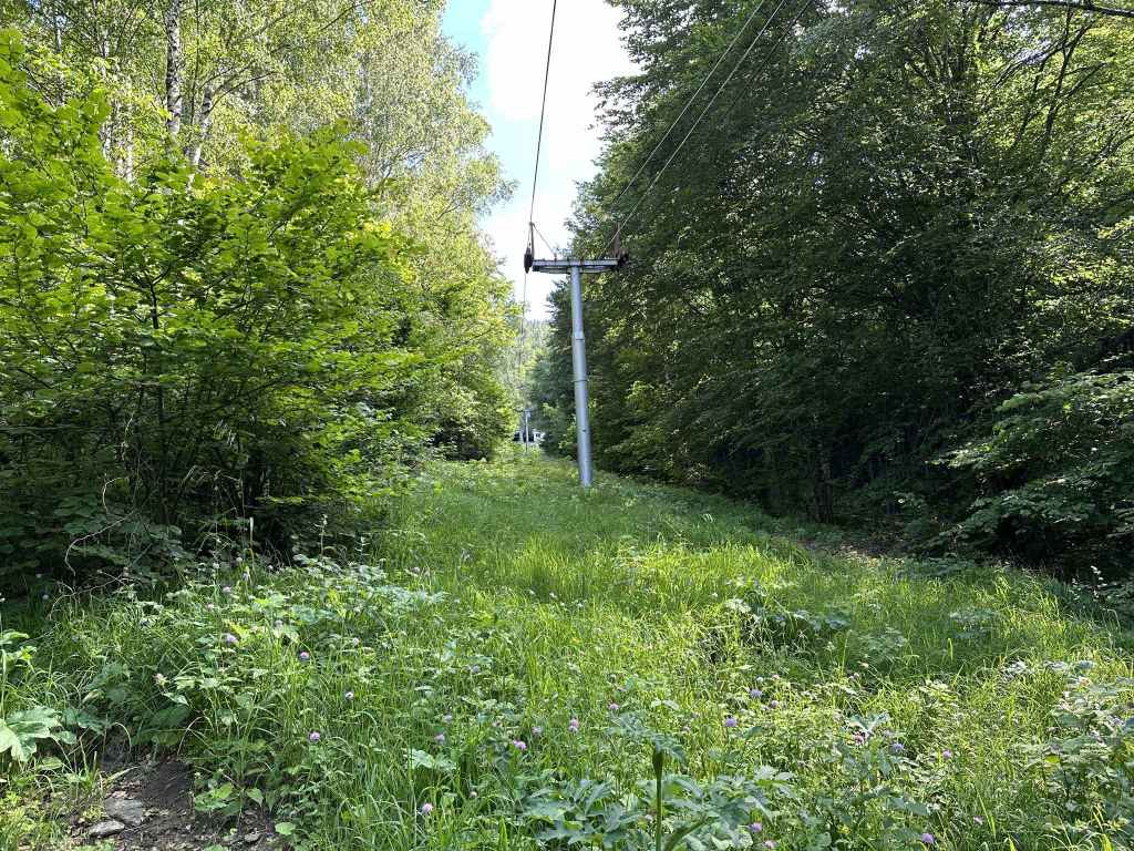
This path will take you to the top of the chair lift, Goli Vrah. It is a little confusing to begin with because on the left there is a bike trail. Some steps have been built with logs. It’s a good idea to follow these steps, and at the top turn right to continue up the mountain. In ten minutes, you will pass under the chair lift, but then the path will double back on itself, forming a zigzag and taking you back under the chair lift. It does this a second time. On returning under the chair lift for a second time, continue straight. Then, confusingly, the path again zigzags twice, not as far as the chair lift this time (the chair lift should end up on your right), before finally deciding to climb the mountain and leave the chair lift behind. If you are in any doubt, simply follow the red and black markers.
After fifteen minutes, you will see the bike trail on your left, which crosses the path you are on. Continue straight. The path gradually narrows and becomes wet. Logs have been placed where the ground is wettest and there is running water. In another five minutes, you will come to a fountain on your right. In another twenty minutes, you will pass a generator behind a wire fence on your left and become aware of the main road behind it. The path crosses a slip road, climbs some steps, and then crosses a second slip road (going to Salzitsa hut). Continue straight, ignoring the main road on your left and the slip road on your right. A stiff climb brings you in ten minutes to a third slip road. You want to join this slip road, which goes from the main road behind you all the way to the top of the mountain (the main road does not go to the summit of the mountain, it stops short, at Aleko).
Turn right along this slip road and in five minutes you will pass the top of the Dragalevtsi chair lift, Goli Vrah, on your right. Continue along the slip road, and in another five minutes take the turning right signposted for the shelter (“zaslon”) Ushite. This turning is very clearly marked by black and yellow posts, starting with the number 30. You are now in a very precious part of the mountain, the peat reserve, designated as such in 1935 and covering an area of 783 hectares. You will immediately notice that you have a spring in your step. Walking suddenly becomes easy because of the ground you are stepping on. Follow this path in the direction of Ushite directly in front of you, with Chernata Skala, “Black Rock”, to the left of it.
After ten minutes (post number 50), a path doubles back to Goli Vrah on your right. Keep going straight. Another ten minutes (post number 64), and a path diverges on the right. Keep going straight until after another ten minutes you get to post number 89. Here take the turning on your right, signposted for the Kominite Climbing Area and Kikish. Were you to continue in the direction of Ushite, the path would eventually take you to Bor mountain hut, which features in the walks Planinets and Zlatni Mostove. See the walk Ushite.
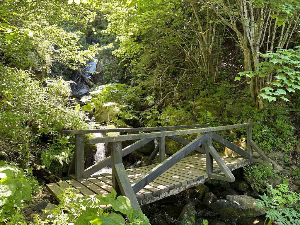
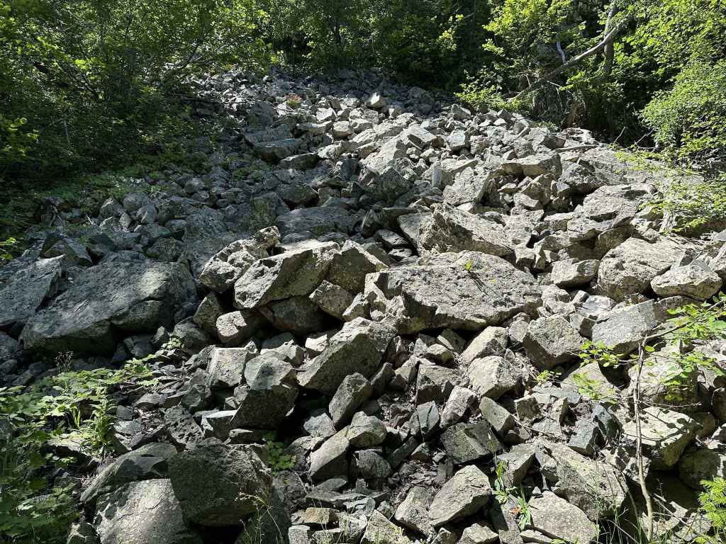
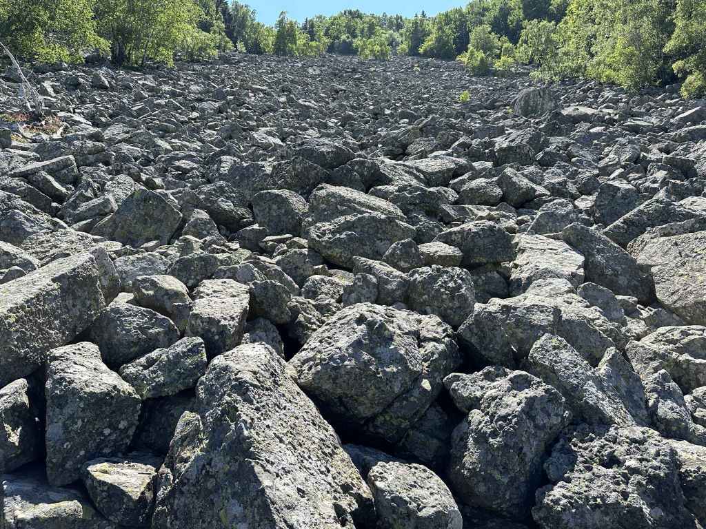
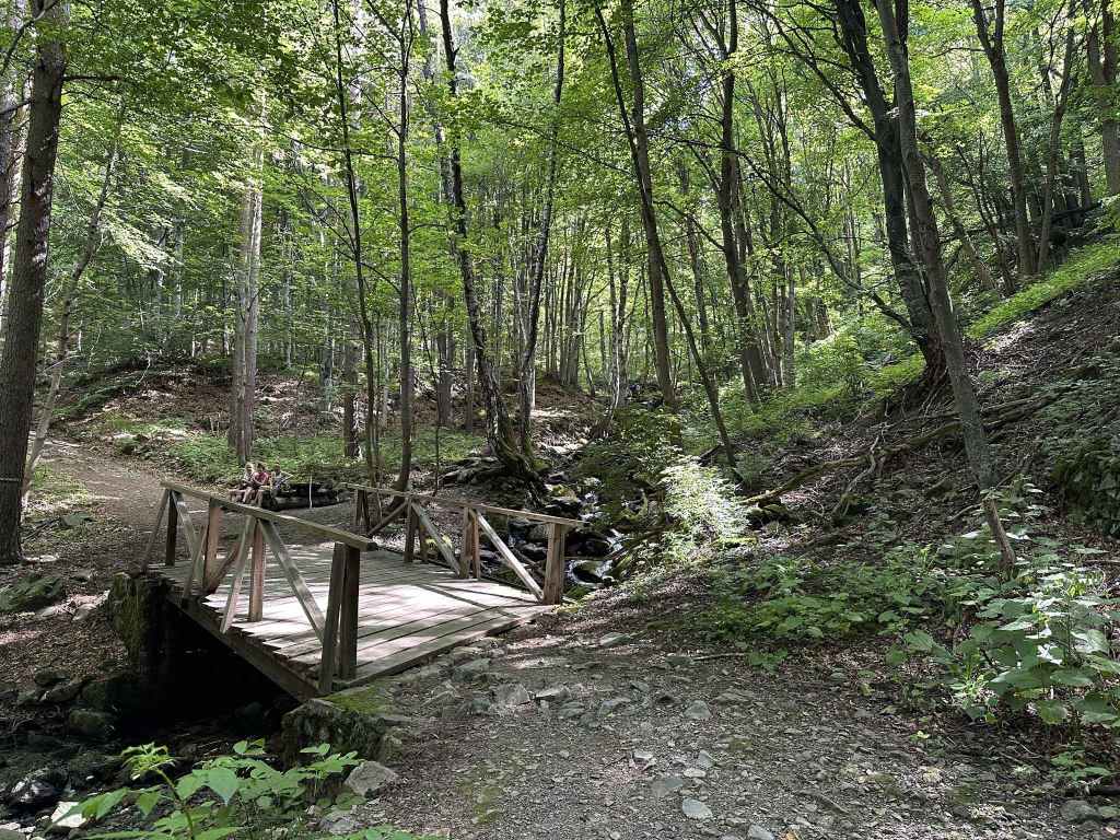
As you start along the turning on the right, look back the way you came and you will get a wonderful view of the summit, Cherni Vrah, on the right with the radar station (aka a golf ball) in the middle. Continue along this path. You are now heading in an easterly direction. After five minutes, there is a convenient picnic area on your right, where you can sit and admire the view towards Bistritsa and Pancharevo, with the mountains behind. Sometimes there are hang-gliders. Now the path begins to descend, with excellent views of Sofia to the north-east. After five minutes, a path heads left to Kikish. Keep right. The path becomes quite overgrown. In another fifteen minutes, you will reach Kominite, the rocks in front of you. The path veers right here (to avoid the rocks). The path then divides, but both branches lead in the same direction (the left branch is steeper, the right branch more roundabout). They will both take you past the climbing area on your left. This part of the walk can be tiring, you need to watch your step as the descent is quite steep. In twenty minutes, you will reach Dragalevtsi River. This river features in two other walks, Bay Krastyo and Simeonovo Lakes, but you are now higher upstream. Cross the river and follow the path across a small moraine field and back under the chair lift. In twenty-five minutes, you will be back at the main road where you started.
We have often done this walk in reverse, going from the main road (Bay Krastyo) only as far as Kominite and climbing the rocks there to have lunch. It’s not ideal for small children or pets, since the rocks are steep, but it’s a wonderful place to have a picnic. Shortly after crossing the river, at the bottom of the rock faces where people can be seen climbing, you leave the path you are on, walk along the bottom of the rock faces, and continue for another ten minutes. You pass a small shelter and come to a secluded area with large rocks you can sit on. It’s safe so long as you stay away from the edge.