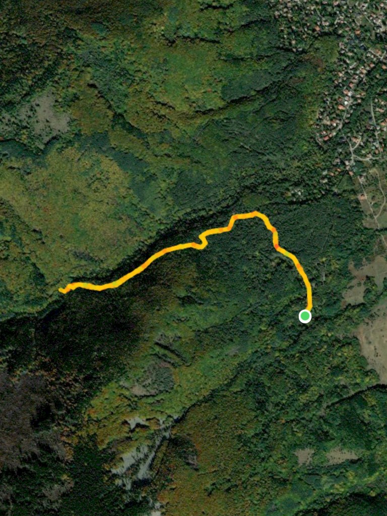
Starting coordinates: 42.56902, 23.34232
Distance: 3.8 km
Elevation Gain: 130 m
Time: 2 hours
Difficulty: Moderate
Transport: by car, or by bus to Bistritsa Village
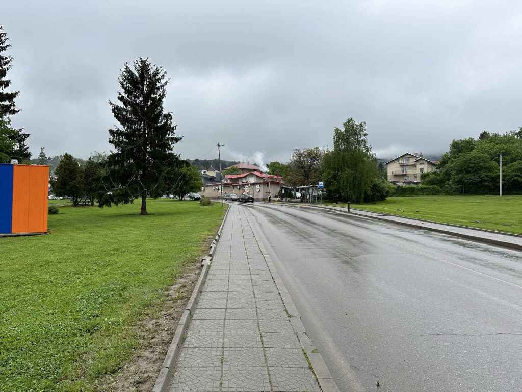
The centre of Bistritsa with grass on either side. 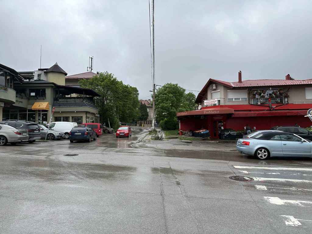
The turning for Stefan Stambolov Street, which will take you to the start of the walk. 
After 2.6 kilometres, there is a parking area where you can leave your vehicle. 
In another 300 metres, the street comes to an end. 
The path on the right, which will take you to Samokovishteto Waterfall. 
This path is actually the “low-altitude circular trail” that goes around the mountain. 
After ten minutes, the trail is dissected by a path heading up and down the mountain. Go left. 
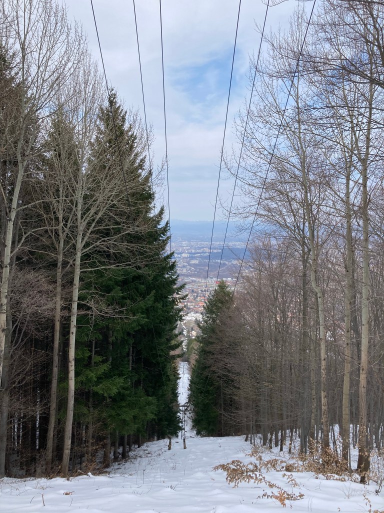
The path begins to climb. 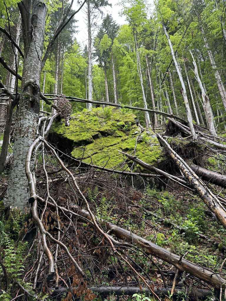
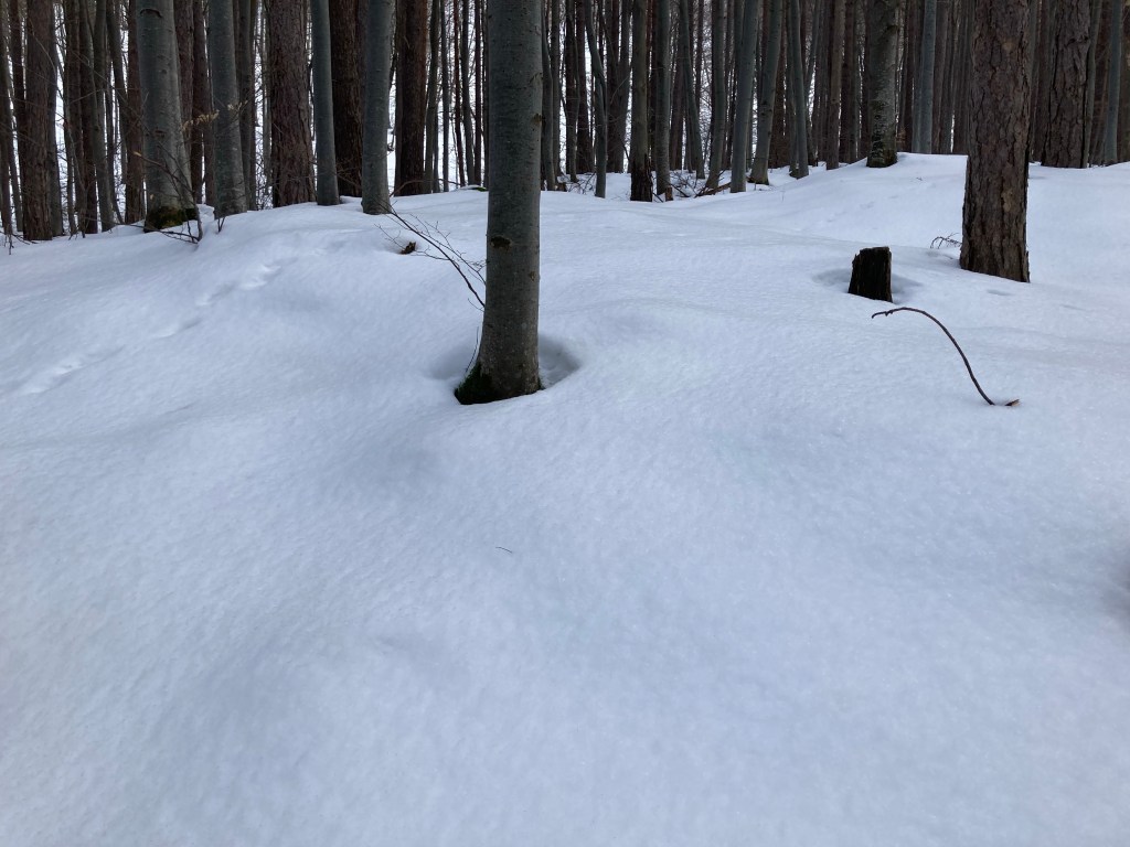
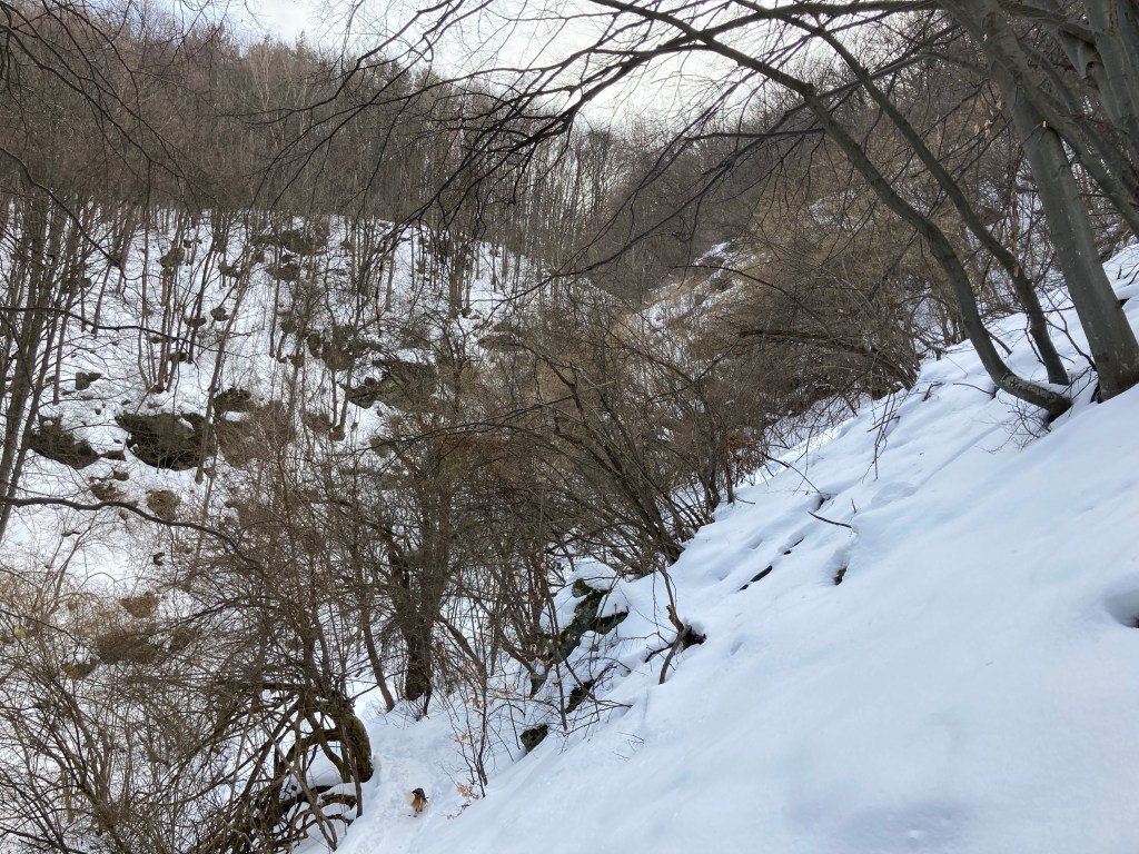
In some areas, fallen trees create clearings. 
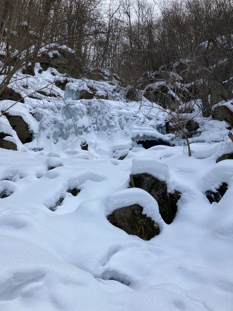
After twenty minutes, the waterfall can be seen on your right. 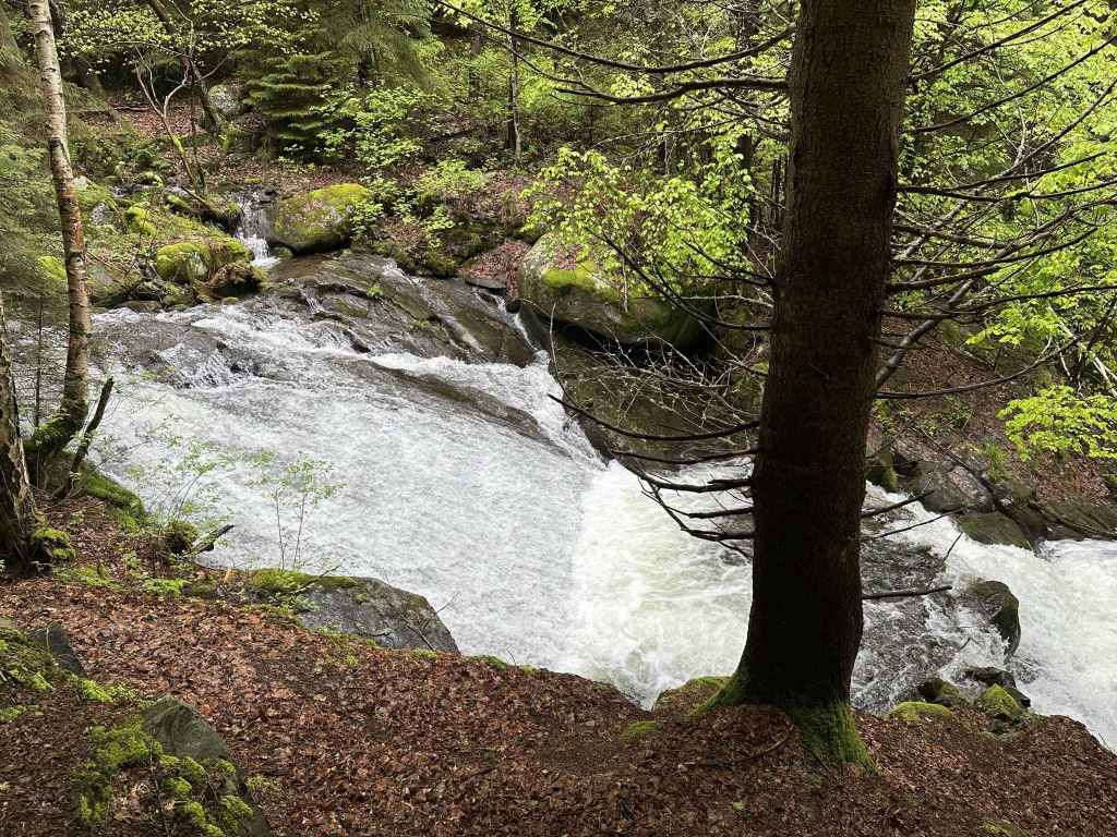
The water sliding down a large flat surface. 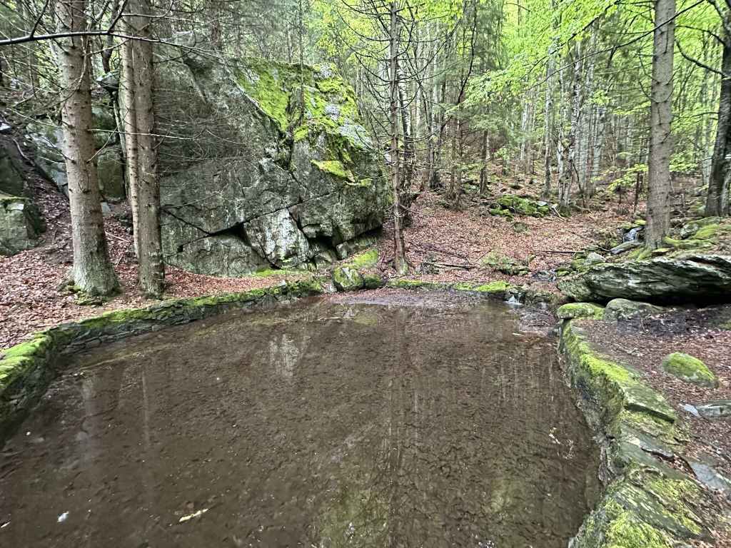
The pool on your left. 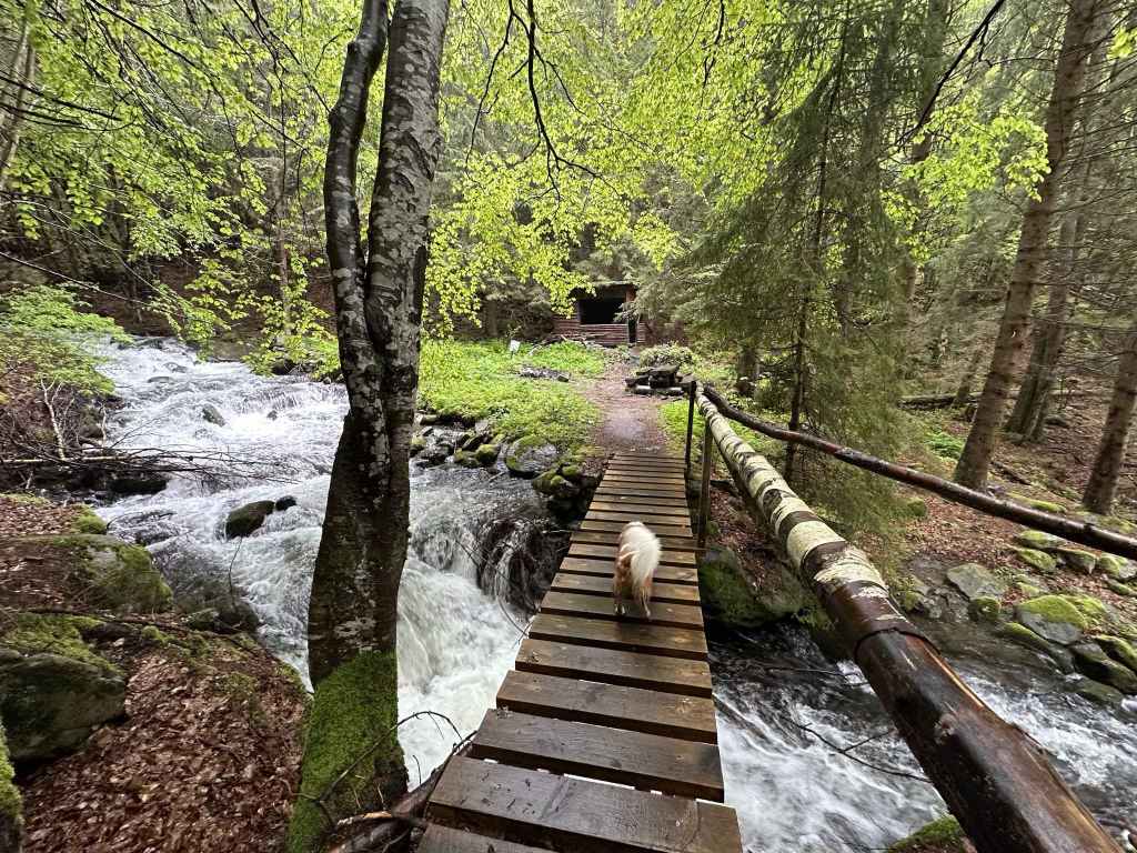
The bridge over the river with a picnic area on the other side. 
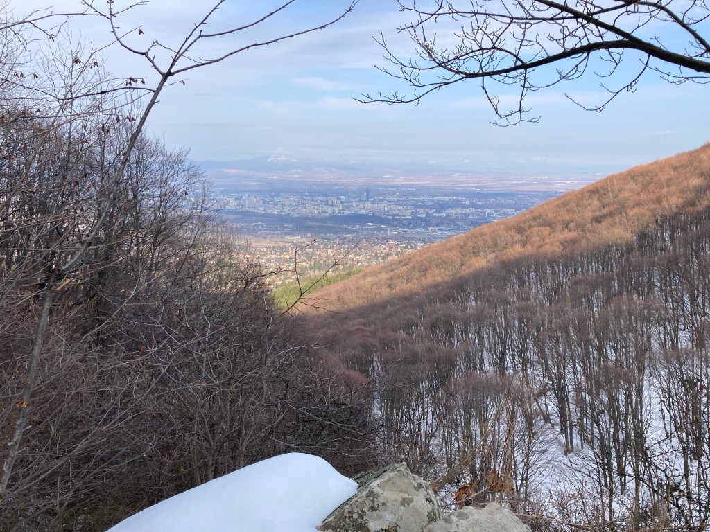
Bistritsa River, one of the most beautiful rivers on Vitosha. 
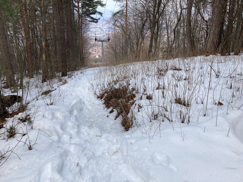
The path continues uphill in the direction of Aleko Hut.
Bistritsa Village is on the east side of Vitosha and can best be reached from the ring road. The three main districts on the north side of Vitosha, from west to east, are Boyana, Dragalevtsi, and Simeonovo. If you continue on the ring road past Simeonovo in an easterly direction, you come to Sofia Ring Mall and Ikea. Just before these is the turning that takes you to the start of the only lift that is still working on Vitosha, the Simeonovo-Aleko gondola lift. Immediately after Ikea is a roundabout. Turn right here and the road will take you uphill to Bistritsa. The road reaches a summit, where there are turnings left to Pancharevo and right to Simeonovo, and then descends into Bistritsa proper. After crossing Bistritsa River, you are in the centre, an open grassy area. The following buses – 69, 70, 98, 314 – will drop you here, at the stop marked “Selo Bistritsa”.
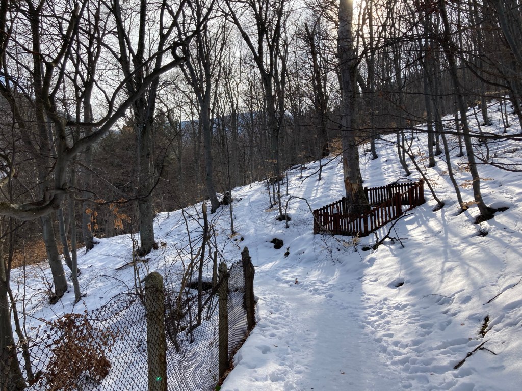
The mountain is on your right. You have just crossed Bistritsa River, which tumbles down the mountainside and eventually flows into Lake Pancharevo to the east. There are two walks that begin from Bistritsa – one to a small waterfall; the other to the village of Zheleznitsa. They both have the same starting point. To reach this point, you need to take the first turning on the right after the bus stop. This is Stefan Stambolov Street. There is a ProMarket grocery store on the corner. You follow this street for 2.9 kilometres. 700 metres from the centre, it crosses the river. Keep going uphill. After another kilometre, the road veers left – ignore the dead-end street in front of you. Having crossed back over the river, it then leaves the houses behind. There is a small car park on the left. Where it enters Vitosha Nature Park, ignore the turning on the right and keep going uphill. After another 400 metres, you come to a second car park on the left. This is a good place to park. If there are no places, you can park further up on the verge. Continue to where the road ends in another 300 metres.
You are now ready to start your walk. There are two paths, both of which form part of the “low-altitude circular trail”. Going left will take you to Zheleznitsa Village, a lovely walk with wonderful views. The walk to Samokovishteto Waterfall is much shorter, little more than half an hour, but the waterfall is so picturesque it is well the effort.
Take the path on the right. You will soon pass a hut on the right. In ten minutes, the low-altitude trail is dissected by a path heading up and down the mountain. Continue straight (signposted Simeonovo Lakes), and you will come to Yanchovska River, a tributary of Bistritsa River, which it joins in Bistritsa Village. Go right, and the path takes you back down to Bistritsa. You want to go left, in the direction of Aleko Hut and Cherni Vrah. The path climbs steadily through forest. You become aware of Bistritsa River chuntering along on your right. Ignore any side paths or shortcuts and stay on the marked trail. In little more than twenty minutes, you will reach Samokovishteto Waterfall.
The first thing you see is the white line of the river. There is then a beautiful cascade of water where the river slides down a large flat surface, almost as if it was at an aqua park. On your left is a pool under the steady gaze of a boulder. On your right is a bridge over the river which takes you to a picnic area with a couple of tables and an open shelter. Sit in the shelter and look through the glassless window. It’s almost like watching TV.
It is a lovely place to stop and enjoy the nature. The flow of the water is captivating. This walk can easily be extended by continuing in the direction of Aleko Hut or by returning to the low-altitude trail and continuing towards Simeonovo Lakes, though neither of these destinations is very near. Otherwise, having taken your fill, simply retrace your steps to the top of Stefan Stambolov Street and head back into Bistritsa.
NOTE: Instead of taking the low-altitude trail and then turning left to head up the mountain, it is possible to reach Samokovishteto by taking the turning on the right when you enter Vitosha Nature Park, 2.2 kilometres from the centre. You then simply head uphill until you reach the waterfall, crossing the low-altitude trail at some point. This will shorten the walk from the centre of Bistritsa Village if you are on foot.