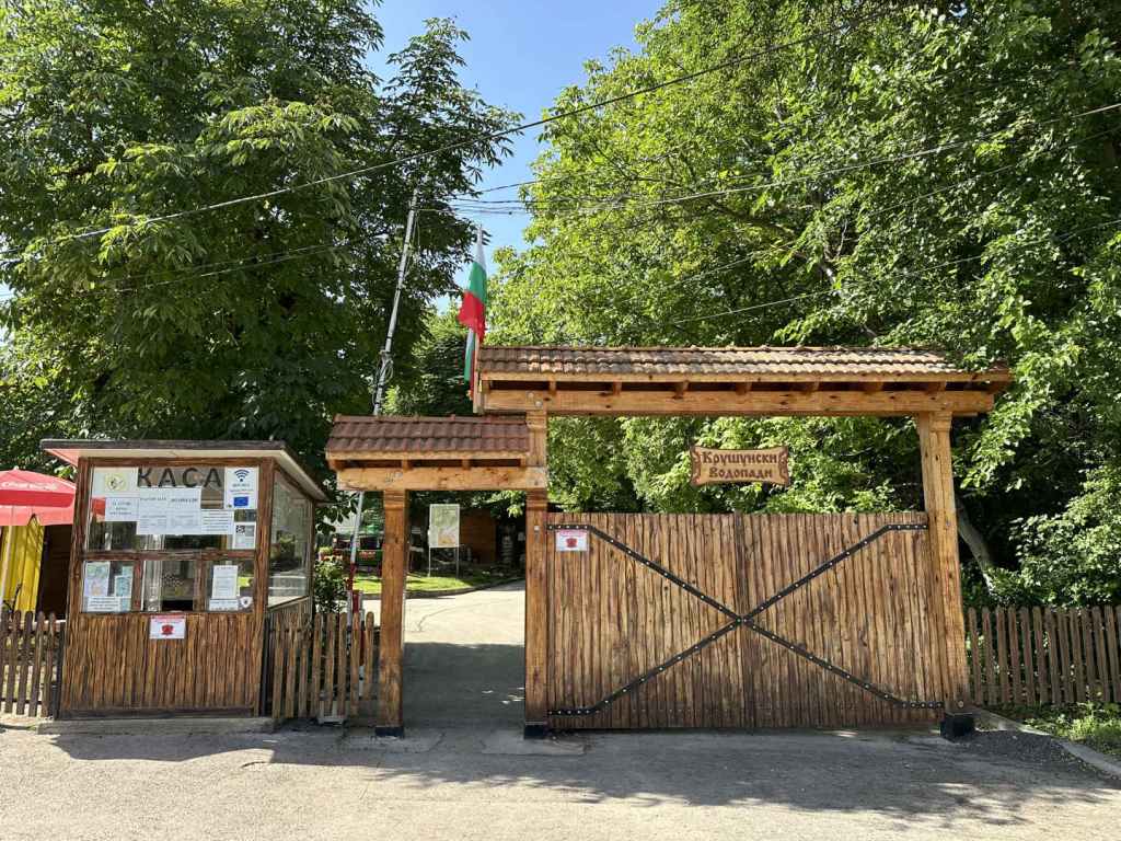
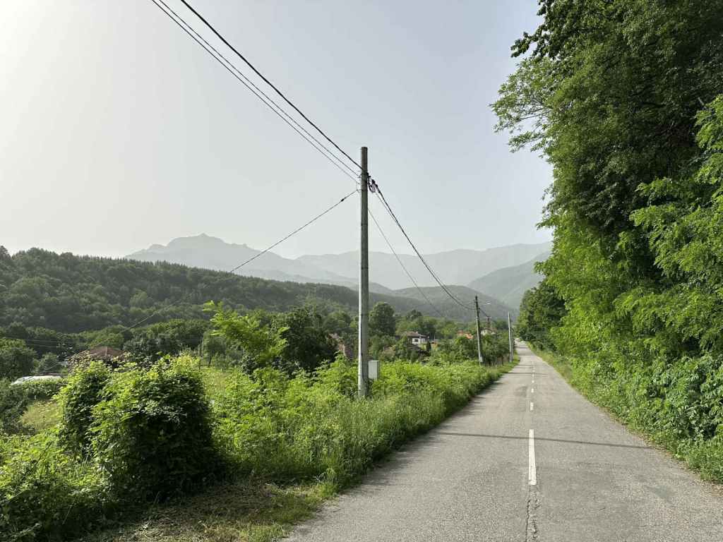
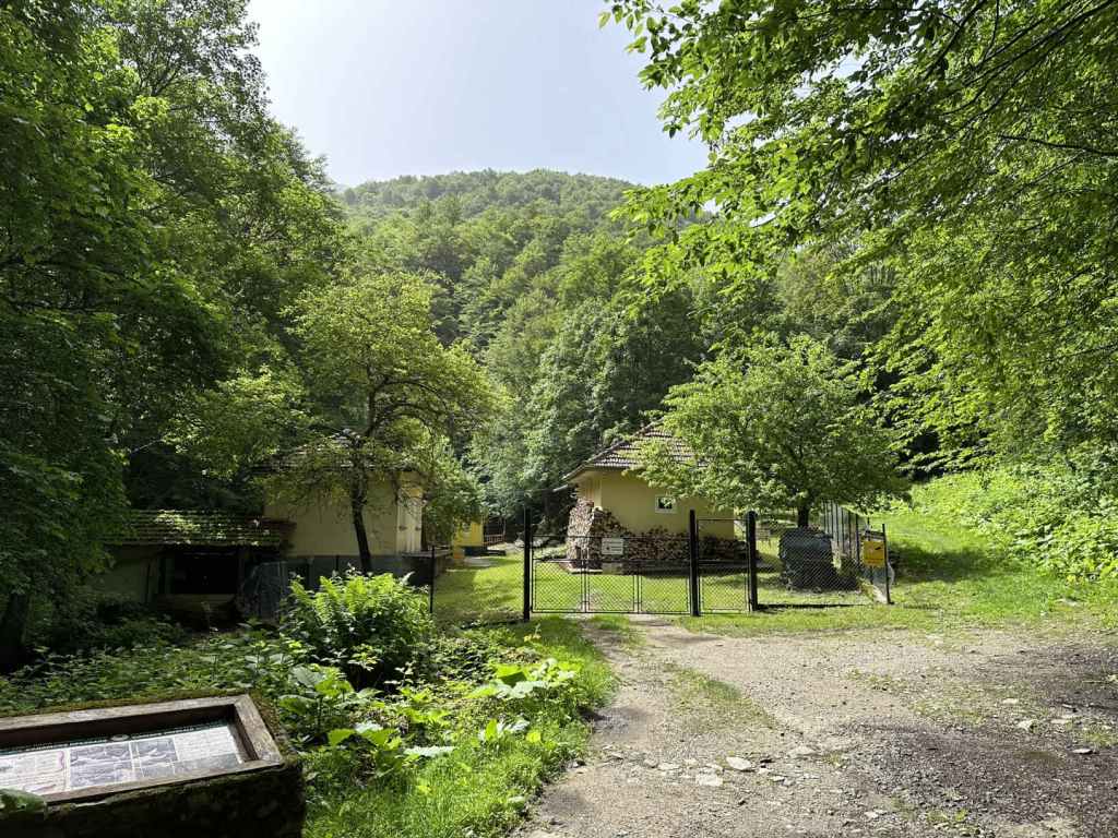
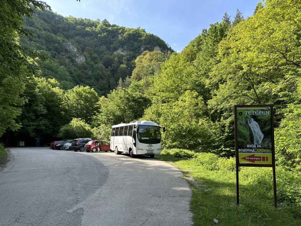
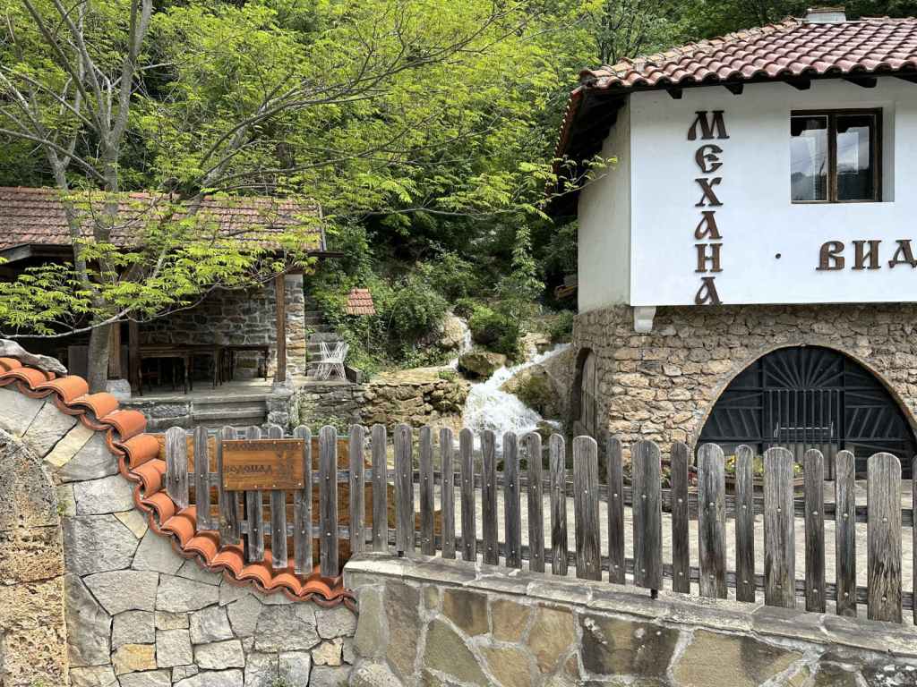
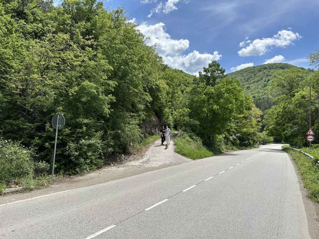
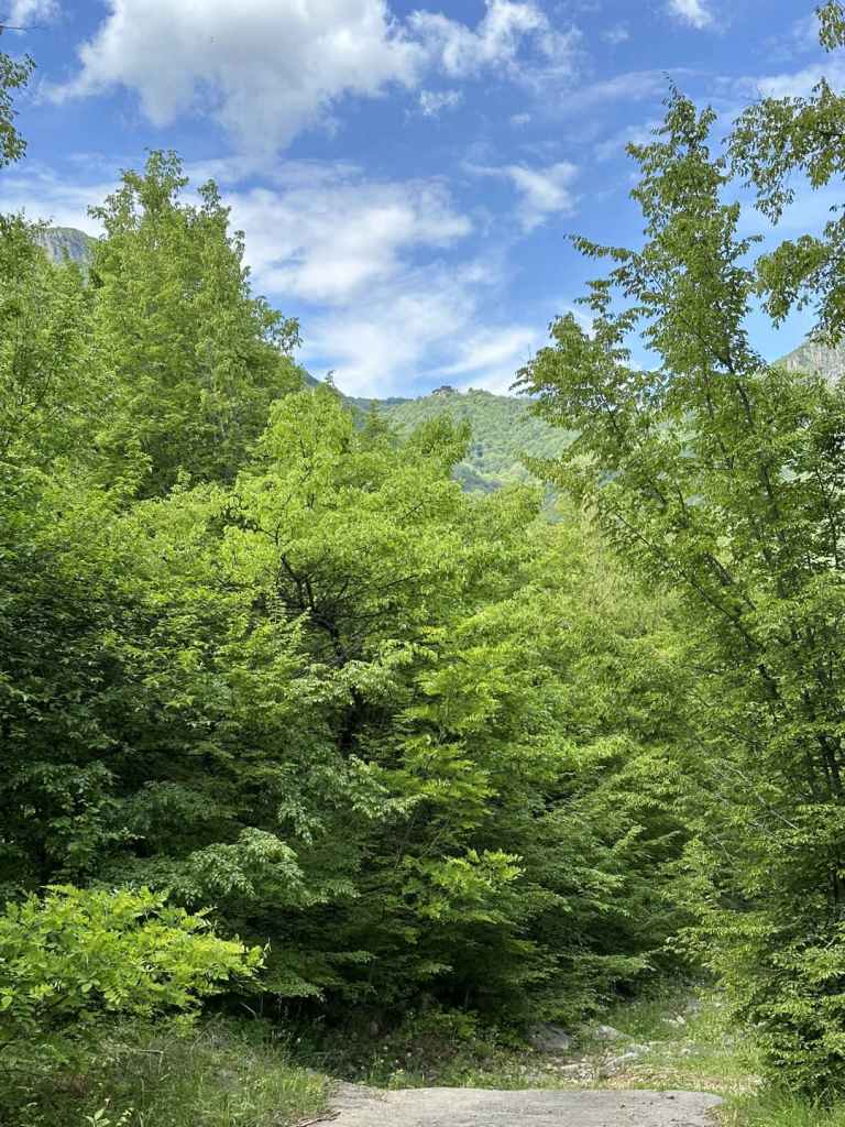
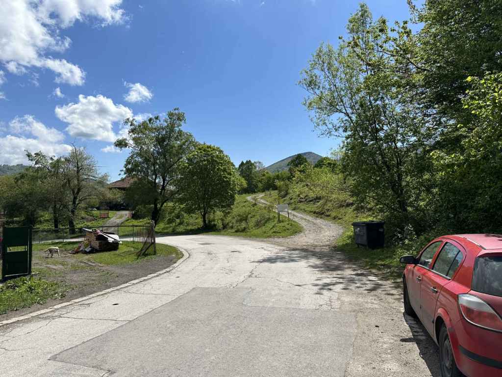
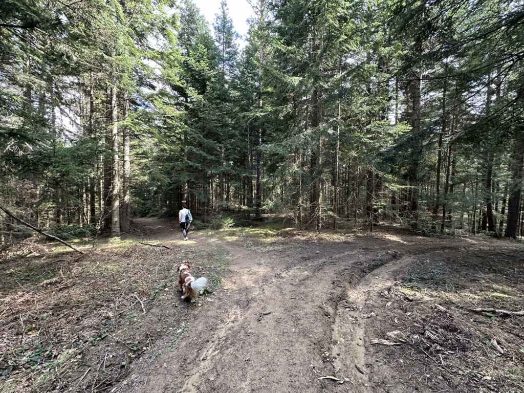
Krushuna can be reached from Sofia, via Lovech, but it’s a long drive there and back in one day. I stayed in Troyan; the other obvious starting point is Veliko Tarnovo. The village is reached from the III-301 road between Lovech and Levski. Depending on the direction you are coming from, you will turn off this road in Aleksandrovo (from Lovech) or Letnitsa (from Levski). The point is that Krushuna is not on the main road and you must leave the III-301, but once you’ve done that, it’s not far. The entrance to Krushuna Waterfalls is 400 metres south of the main square in Krushuna, it’s very easy to find, and there is plenty of parking. When I first went some years ago, it was forest, and you had to find your own way, but now it is a park, Maarata Park, with stalls, restaurants, even a hotel. The waterfall has been tamed, turned into a tourist attraction.
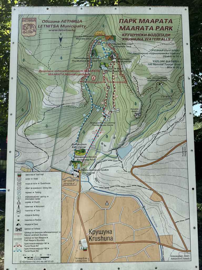
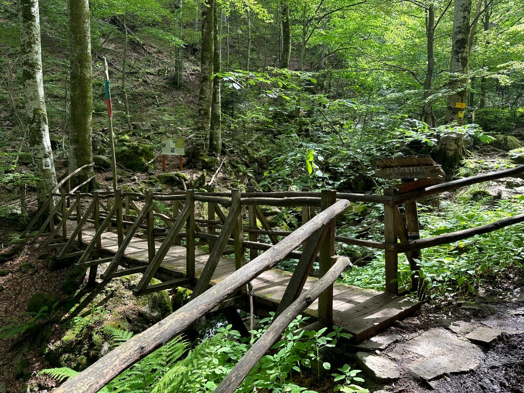
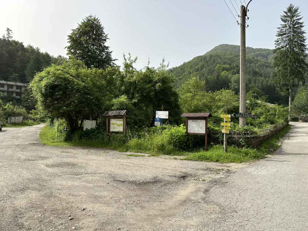
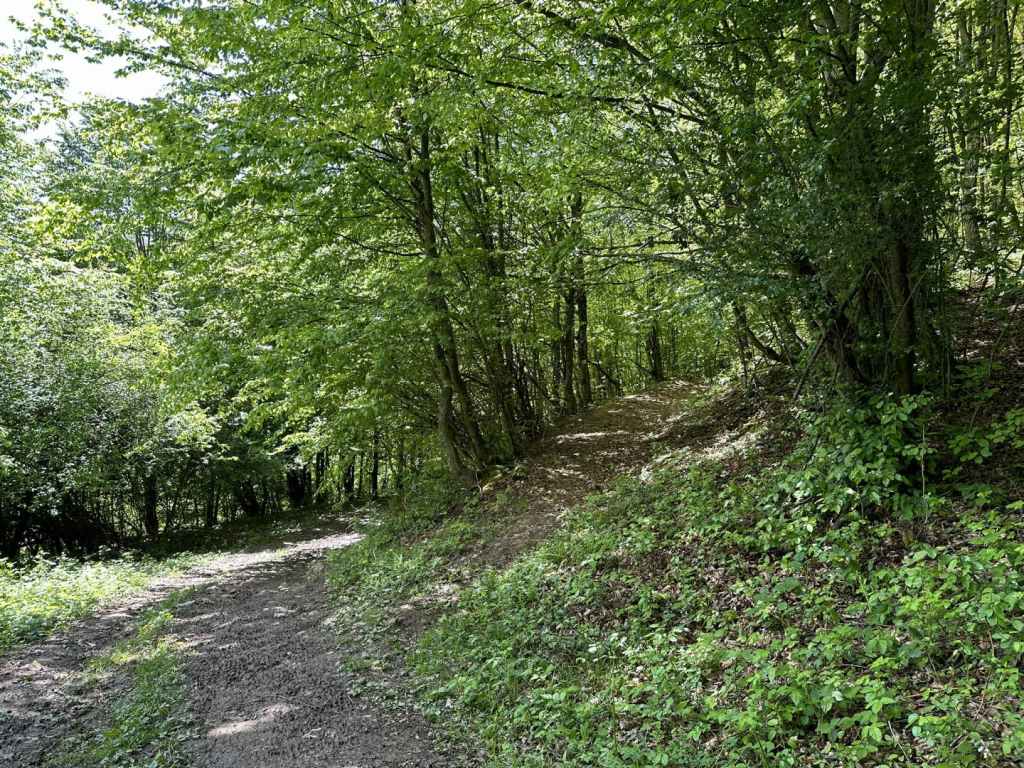
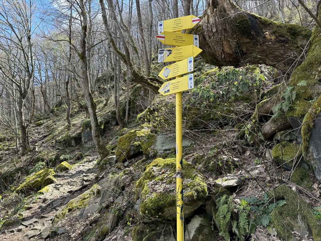
But it is still one of the most beautiful, and best known, waterfalls in Bulgaria. It’s just not wilderness anymore. You must pay a small fee to enter and to park your car (though you could just park in the village), so have some cash with you. Once inside the enclosure, there is a long straight avenue ahead of you, which goes past a hotel on the right, and then a church and a tourist guide centre, for 450 metres. At the end, on the left, is an information board with two routes that you can do, a red route and a blue one.
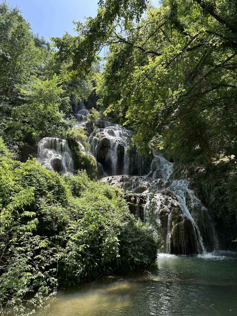
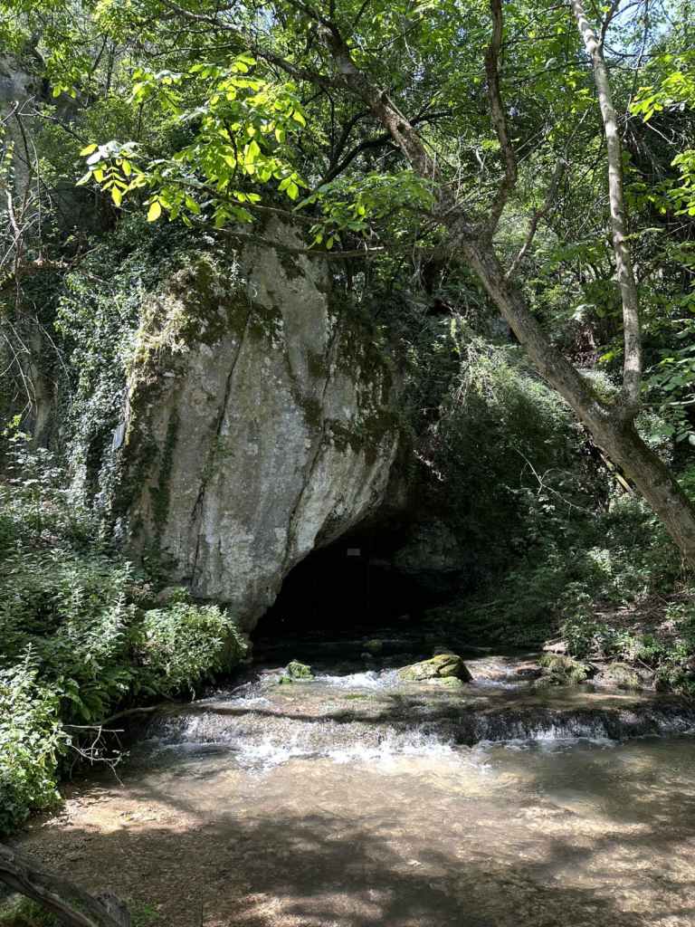
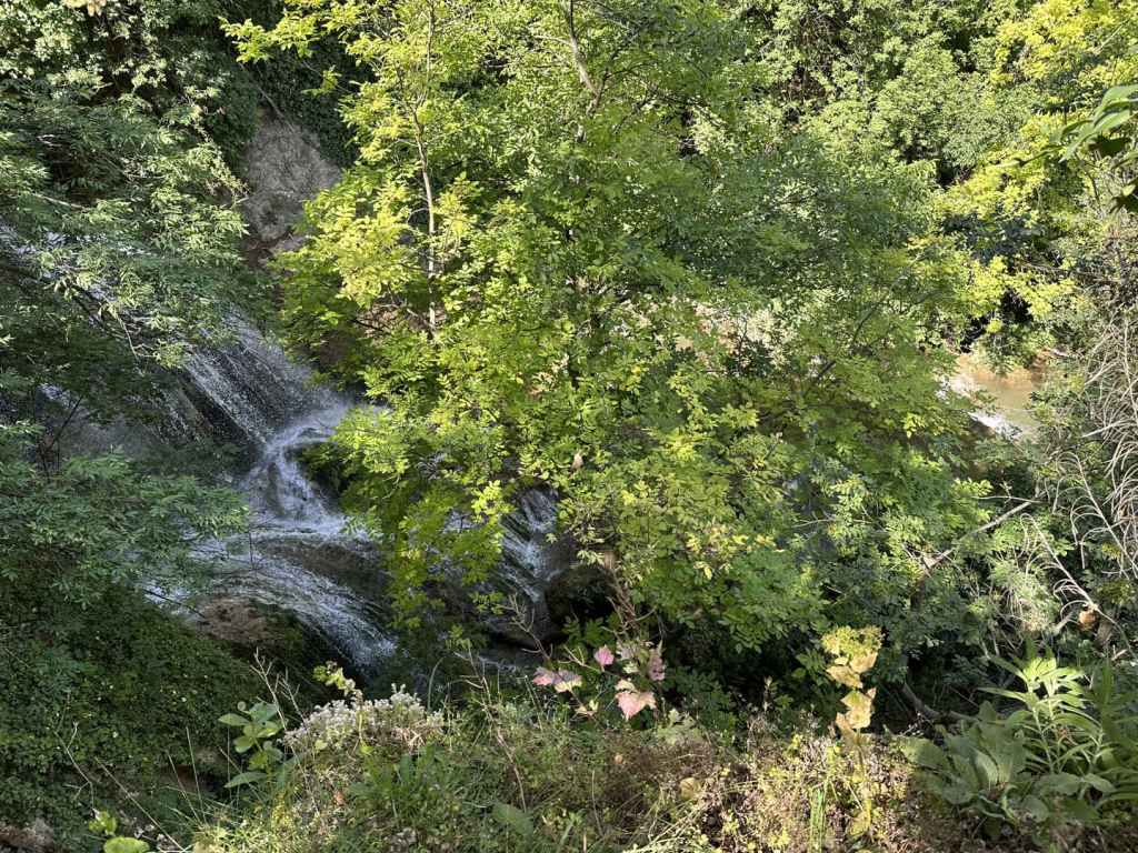
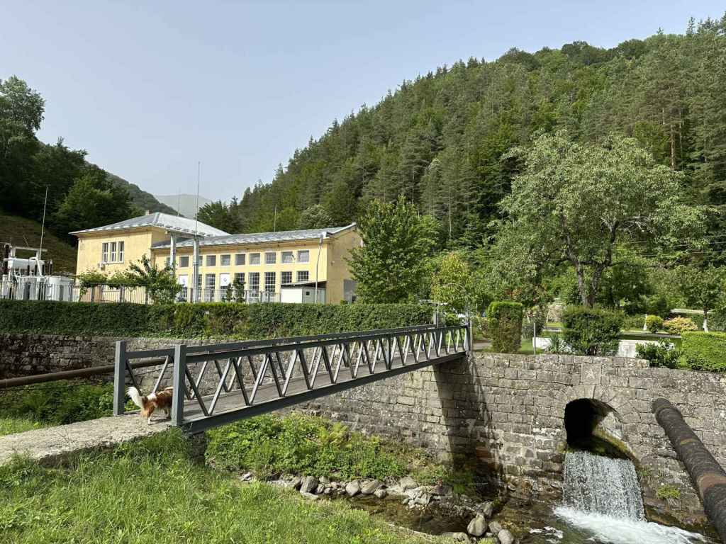
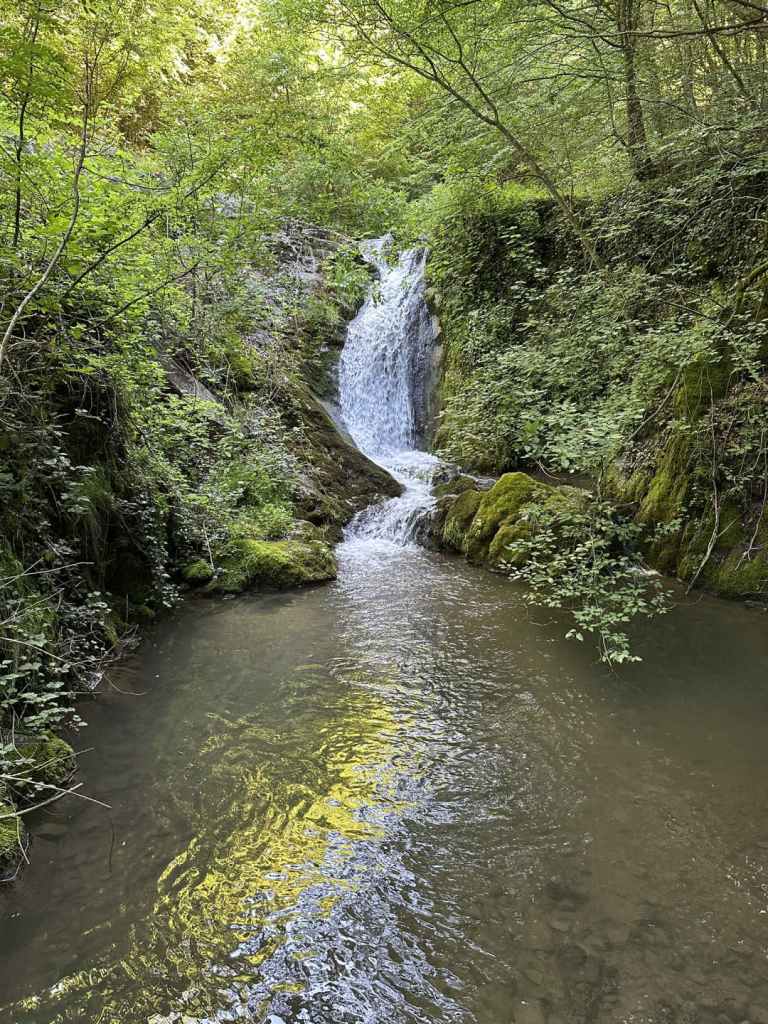
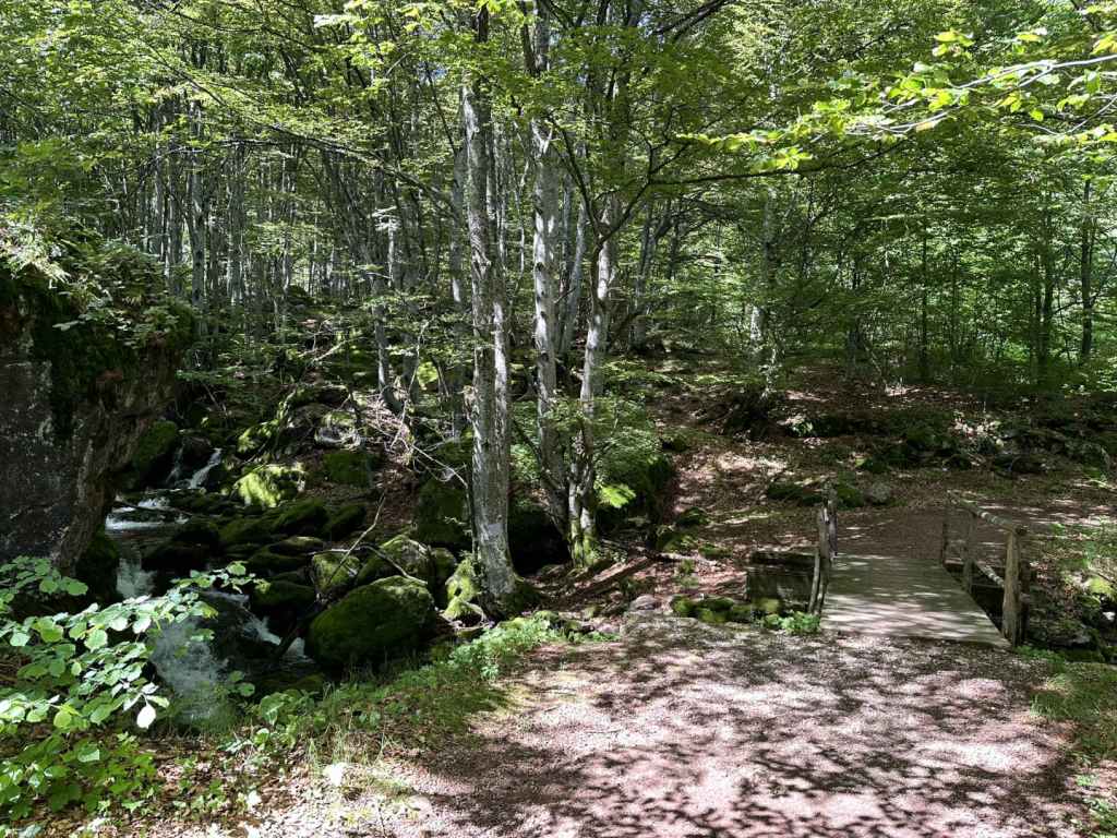
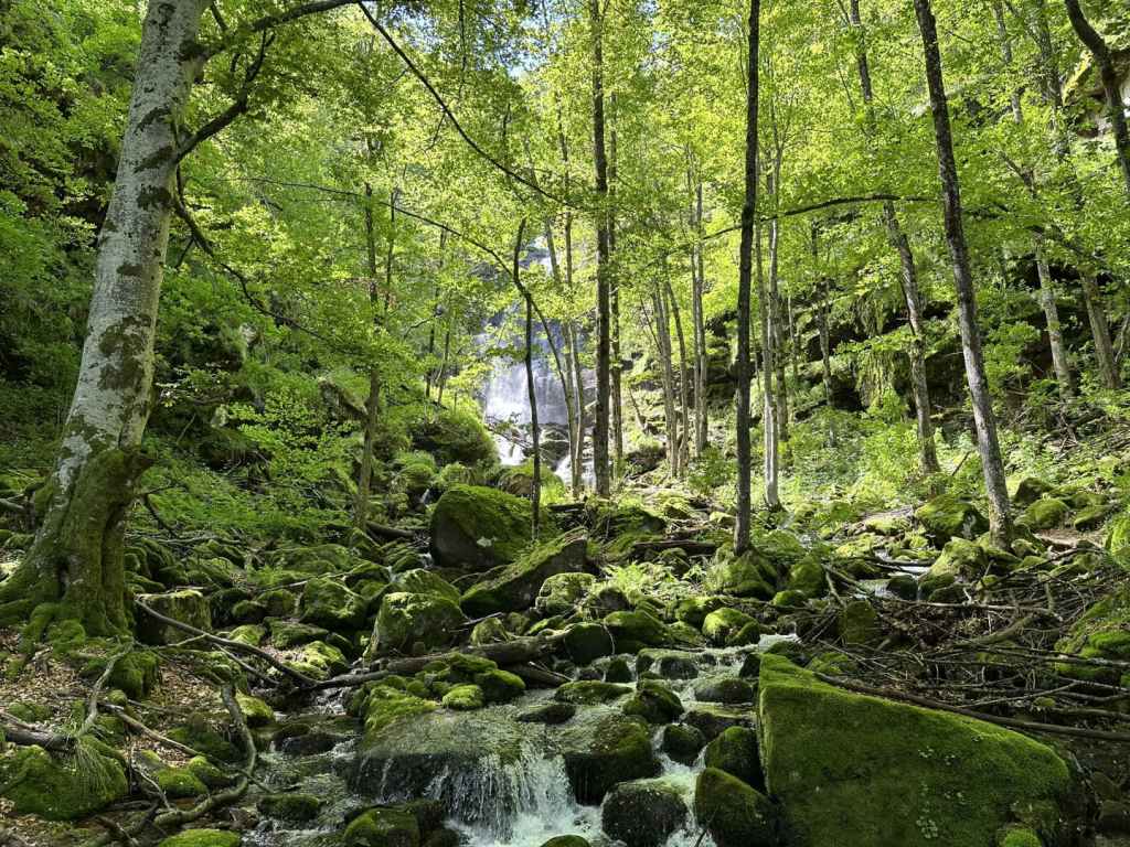
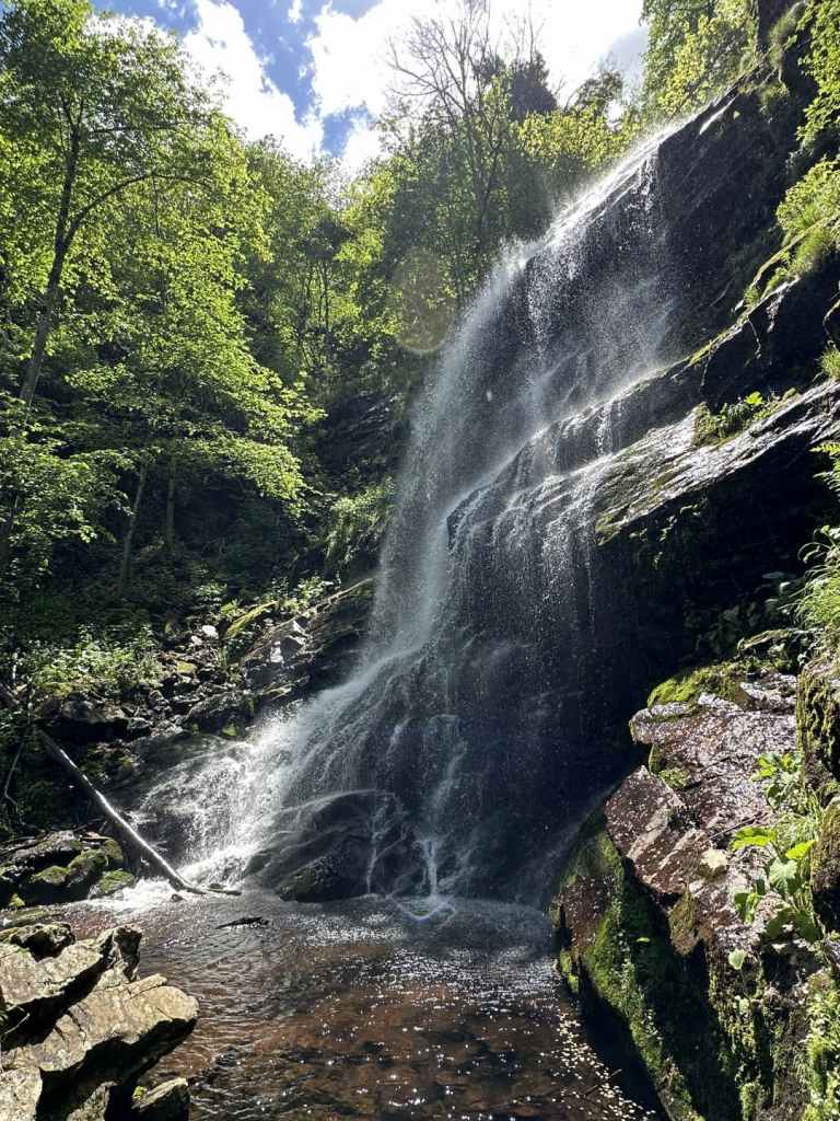
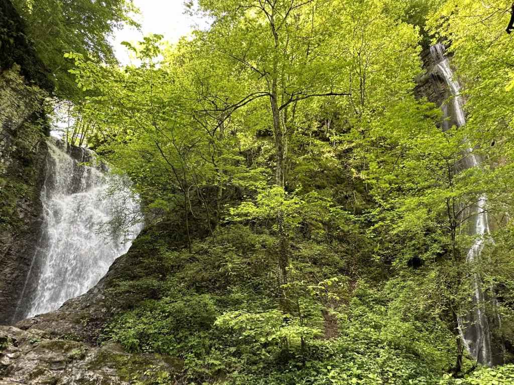
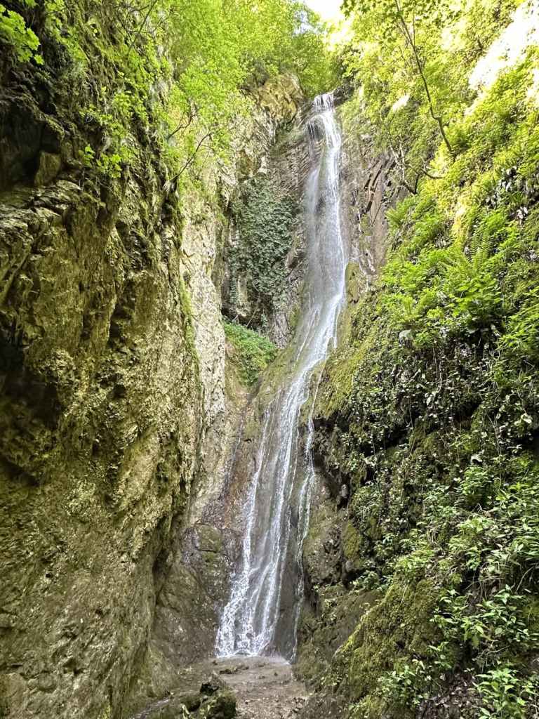
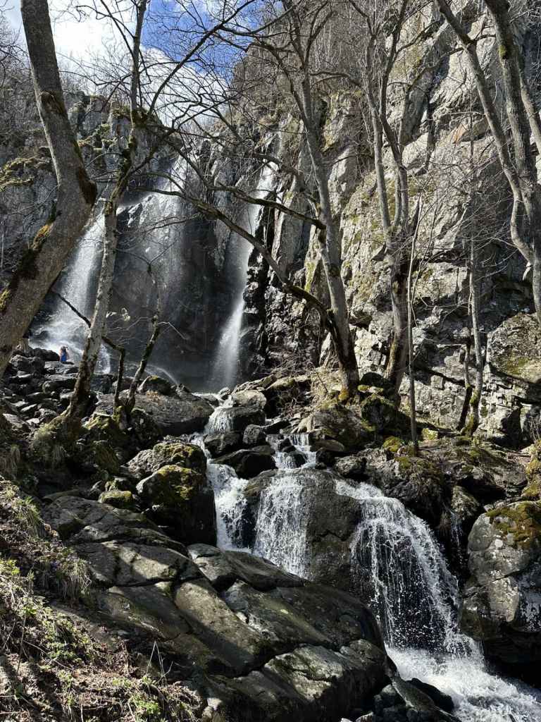
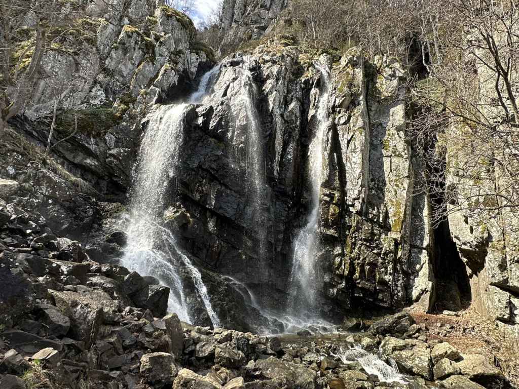
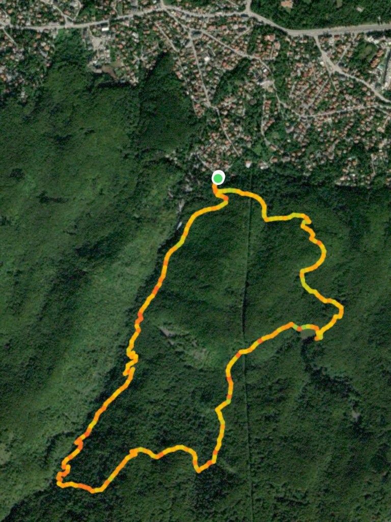
The red route is 800 metres long and takes no more than half an hour. It takes you to the Blue Pool and the main waterfall. Go left at the information board and then right. The path runs along the River Krushuna, sparklingly blue. This no doubt has something to do with the caves up above, where the water comes from. In 300 metres, you reach the Blue Pool, a very pretty sight. There are then some steps up to the main waterfall, as if you are entering the stage at a theatre. There is a viewing platform, from where you can admire the main waterfall, a succession of small falls that combine to impress the visitor. From here, make your way back on the other side of the river. When you reach a guesthouse on the left, go down the steps on your right, past a restaurant and over a bridge, and you will be back where you started.
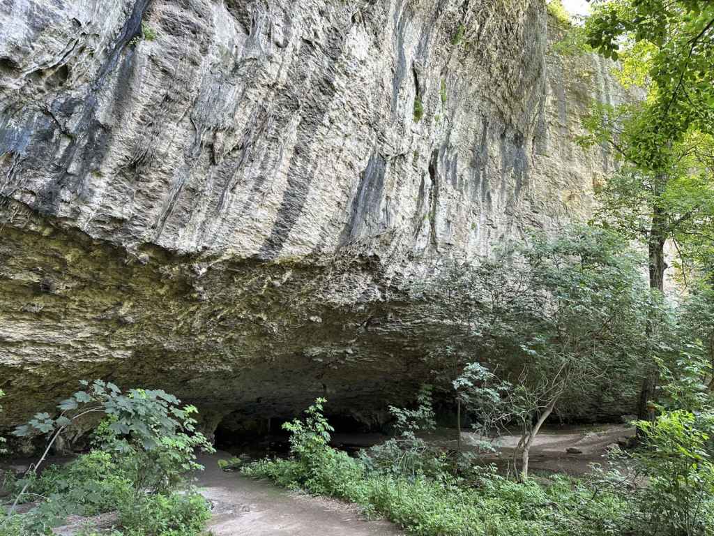
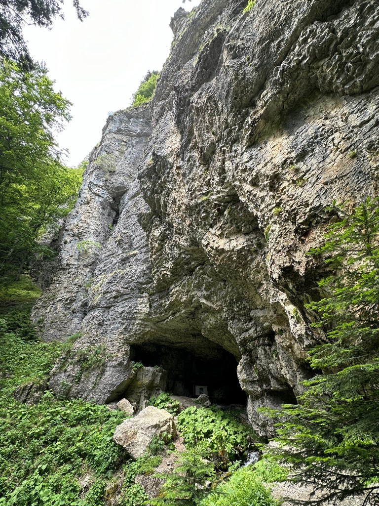
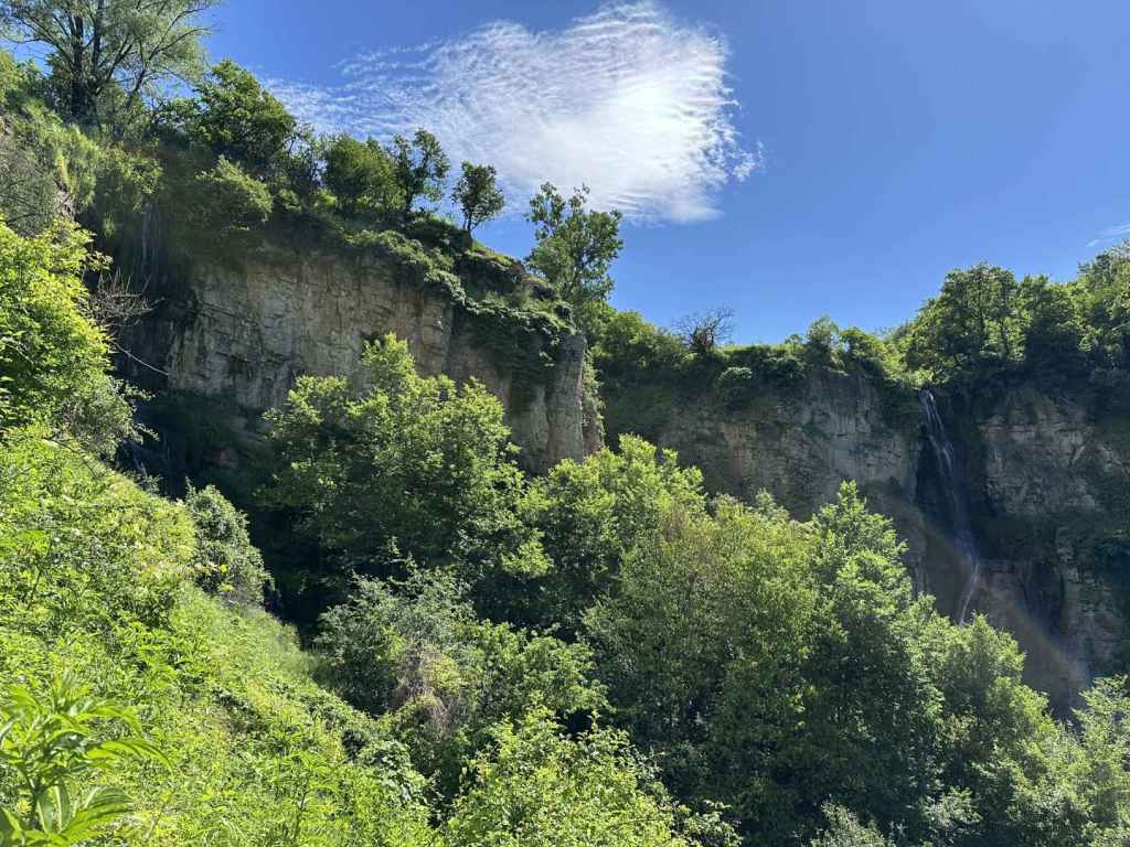
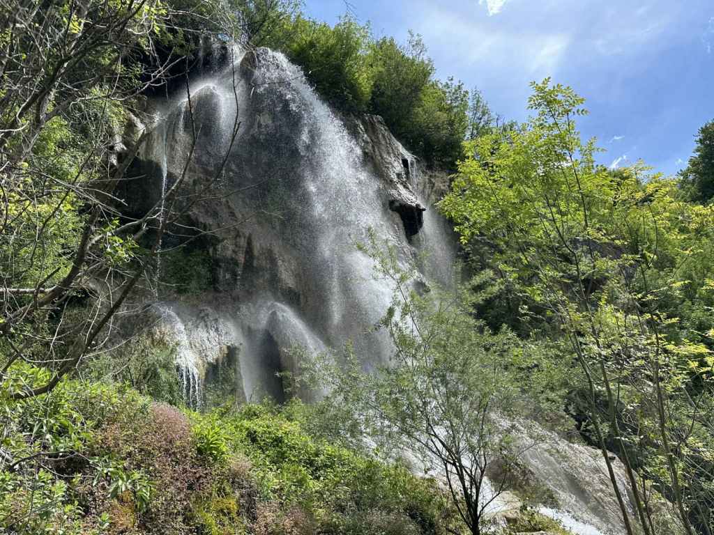
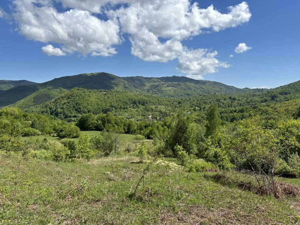
The blue route is longer and takes you above the main waterfall. It is 1.9 kilometres and takes about an hour. Go left at the information board, but this time ascend the steps on your left, which climb steeply for a hundred metres. At the top, turn right. After 300 metres, you have the option to climb the rocks on your left for a ‘panoramic view’ of the rocks and the plain that stretches as far as the eye can see. You don’t have to do this. In another 200 metres, you reach Maarata Cave on your left. Water emerges from tunnels in the rock. Let us call this river 1. You cross a small wooden bridge, and the path goes right. After 50 metres, there is a sign for the Waterfall Cave, which seems to point straight ahead, but no, it is immediately on your left. Water also emerges from this cave, much bluer this time. Let us call this river 2.
Go back to the path. In 20 metres, there is a path on the left you will come back on. Keep going past two benches and take the path on the right. This will take you to the Mysterious Waterfall, an epithet that could be applied to all waterfalls. In 20 metres, you reach a green railing. The path descends on the right for 50 metres. The railing then goes left, but you turn right here, and in 70 metres you will reach the Mysterious Waterfall, a result of river 1 (the water from Maarata Cave). It looks like a large nose covered in moss. Return to the railing and climb back up, but this time keep going straight, alongside the railing, for 30 metres, which will bring you to the top of the main waterfall, a result of river 2 (the water from the Waterfall Cave). Be very careful here, because there is a large drop.
Now go back to the path you came on, turn right, and the path will bring you in a loop back to where you stopped for the Waterfall Cave earlier. Go back to the wooden bridge by Maarata Cave and return the way you came. When you reach the top of the steps that go down to the information board where you started, there is the option to continue straight. This will take you back to the entrance, swimming pool and shops, by a different route.
I was nostalgic for the earlier wilderness. I found it strange to visit a place where there was the odd stray dog, I was given receipts (in nature?), I was addressed in Spanish and English. But then I thought the park makes it much easier for groups of schoolchildren to go there, I imagine locals might walk there on a Sunday afternoon, and I enjoyed my double espresso by the river. The waterfall has been tamed, but it is still extraordinarily beautiful.
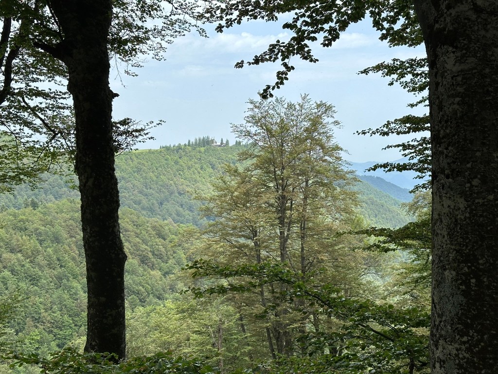
Krushuna is only 50 kilometres from Vishovgrad, via Pavlikeni and Levski, and could be combined with a visit to this other waterfall unless you decide to combine it with Emen.