Starting Coordinates: 42.59839, 23.23572
Distance: 7.5 km
Elevation Gain: 265 m
Time: 3¼ hours
Difficulty: moderate
Transport: by car, or by bus no. 63 to Zlatni Mostove
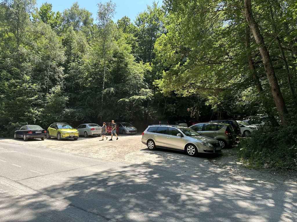
The T-junction at Ofeliite. The walk begins by going right here. 
After 380 metres, a path leaves the road on the left. 
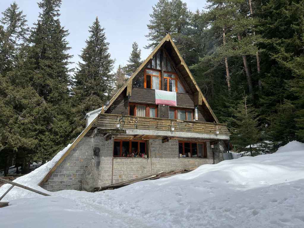
In twenty-five minutes, you will come to the hut Edelweiss on your right. 
Continue uphill until you come to the hut Zvezditsa. 
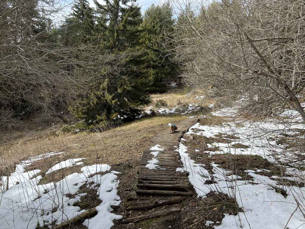
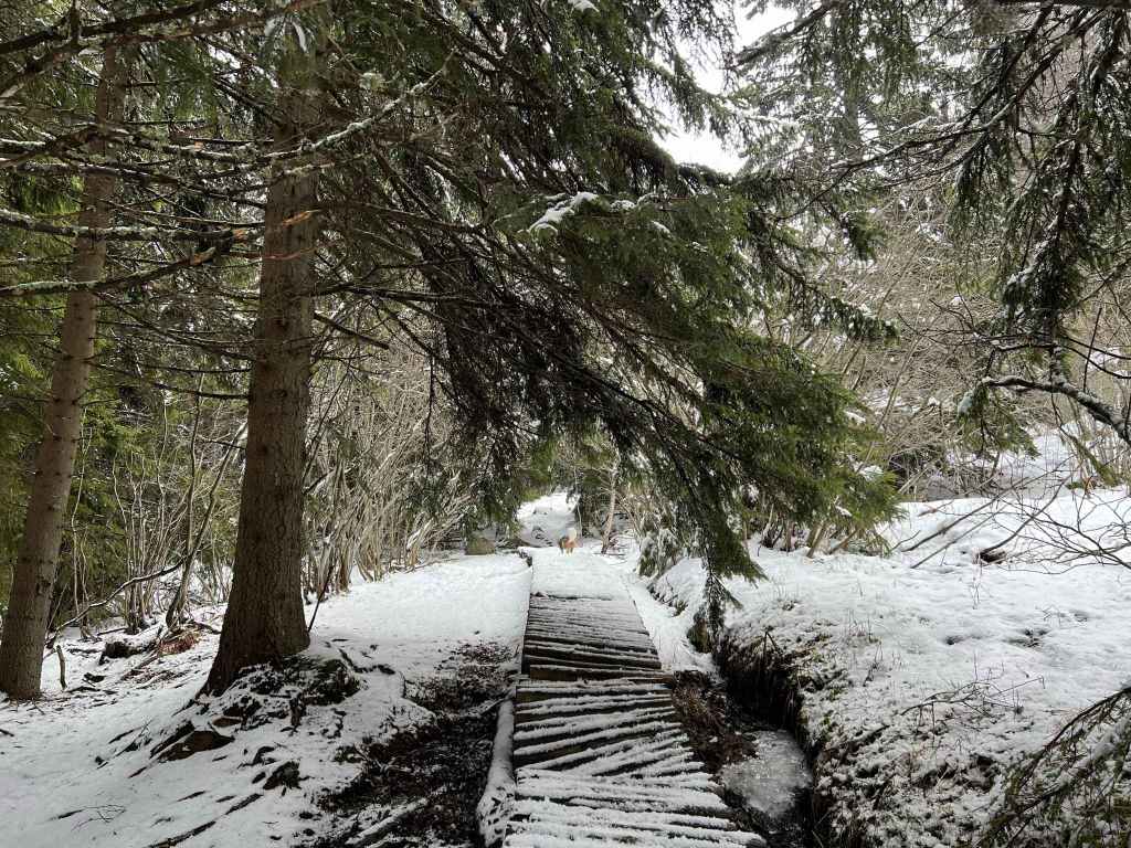
Go through the garden here and take the wooden walkway on your left into the forest. 
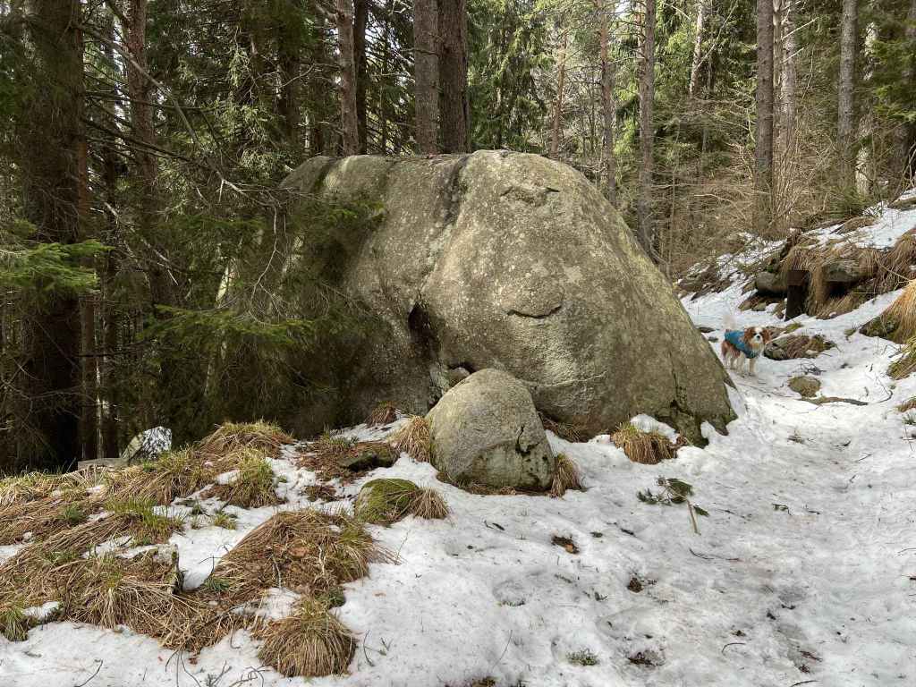
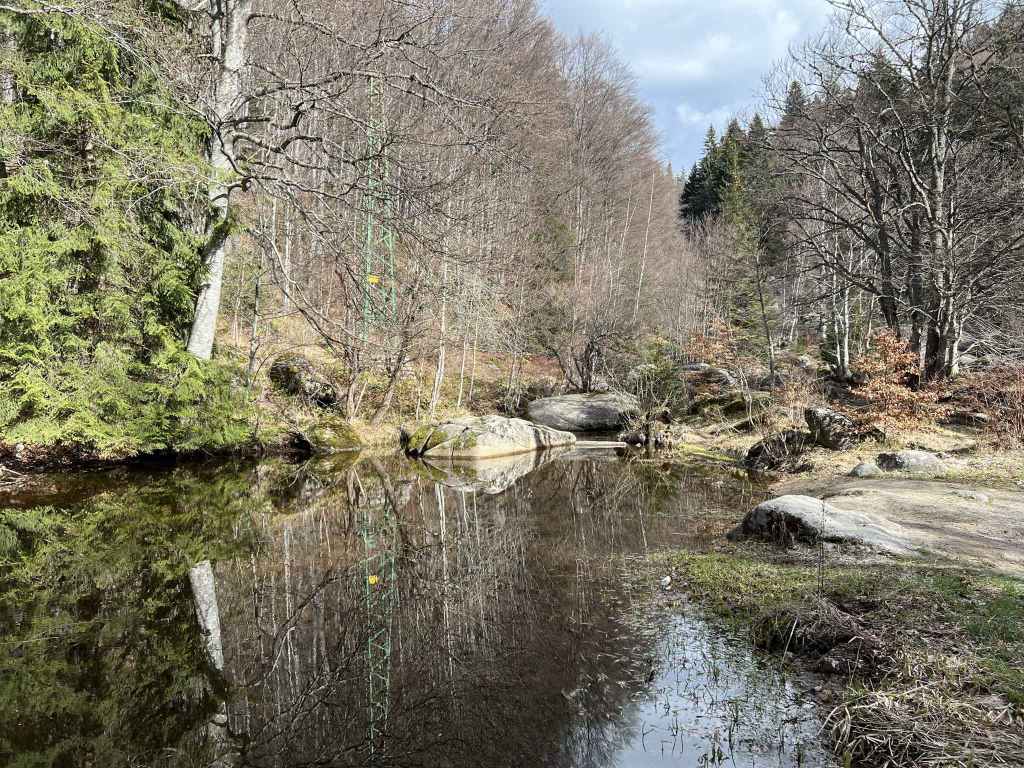
You will pass a small moraine field. 
And cross numerous streams. 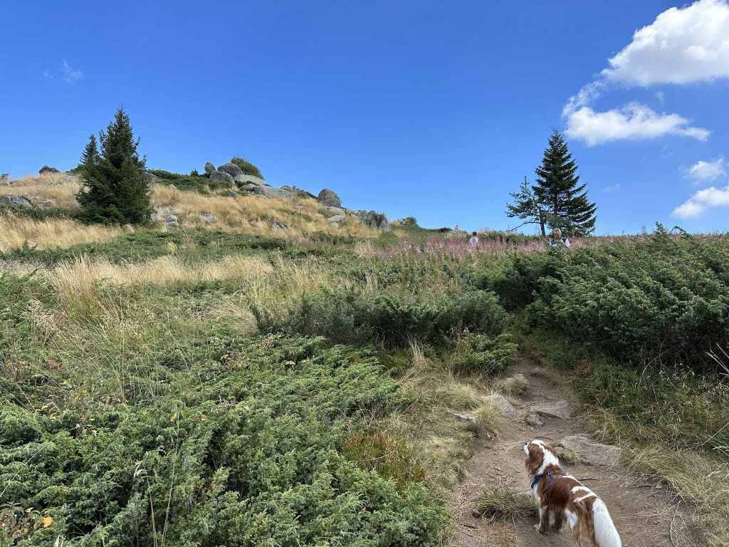
Once in the open, some rocks appear on the left. 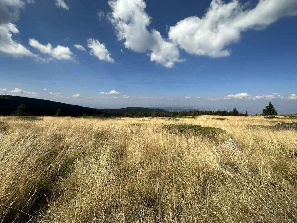
These offer wonderful views north-west. 
And back towards the summit. 
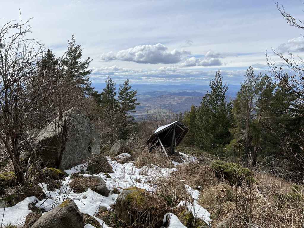
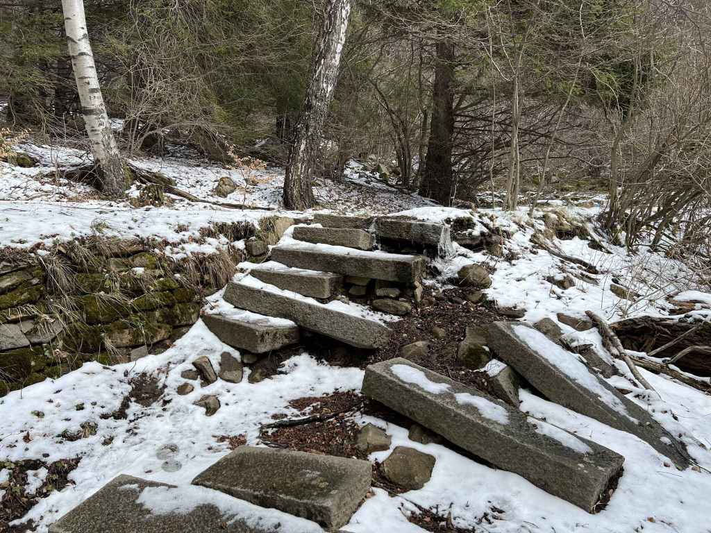
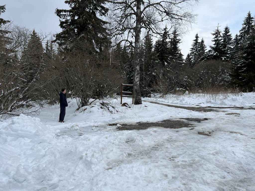
The abandoned huts at Konyarnika. 
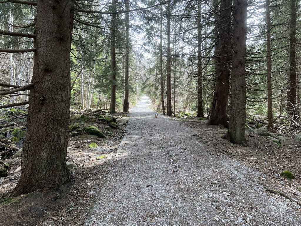
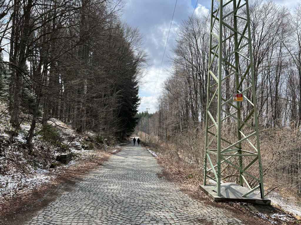
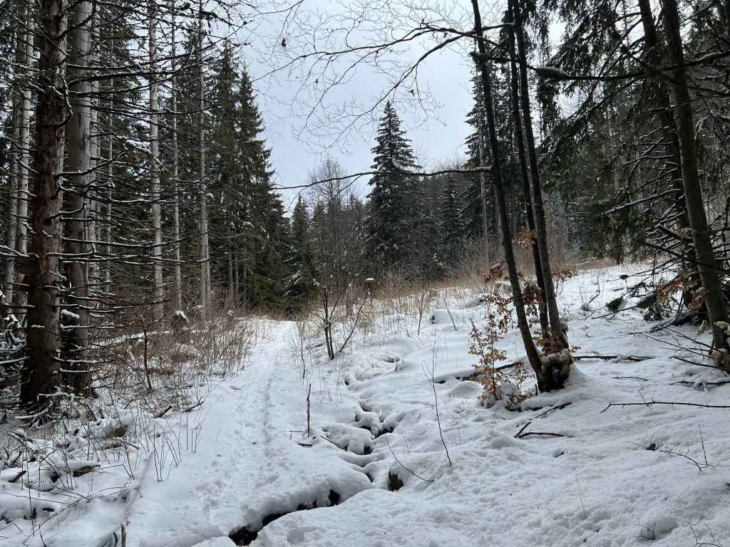
The path from Konyarnika to Kumata becomes a sort of road. 
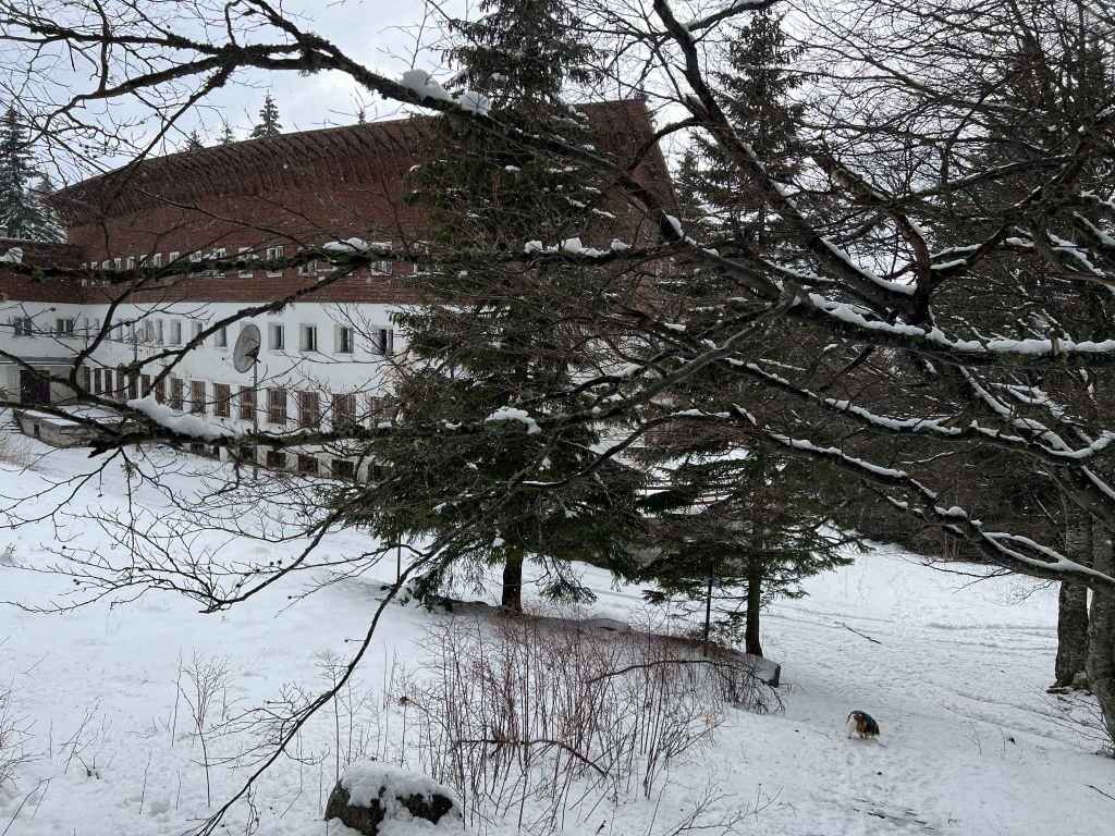
The hut Kumata. 
Vladaya River where it meets the path to Vladaya via Ofeliite. 
The Vetrovala ski slope.
This is a lovely walk that forms an almost perfect circuit and takes you within striking distance of the summit (see the last walk in this section, Kumata). The starting point is Ofeliite, three kilometres after Zlatni Mostove, on the road that goes up the mountain from Boyana. The bus, no. 63, only goes as far as Zlatni Mostove, so if travelling by public transport you need to factor in this extra distance.
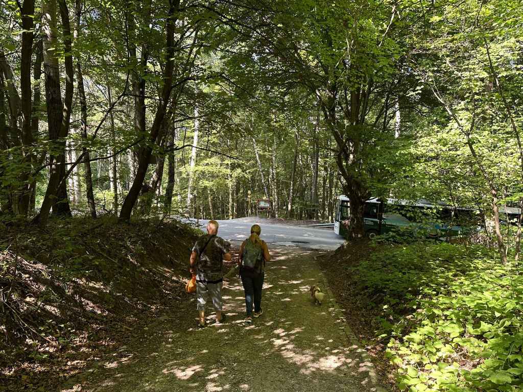
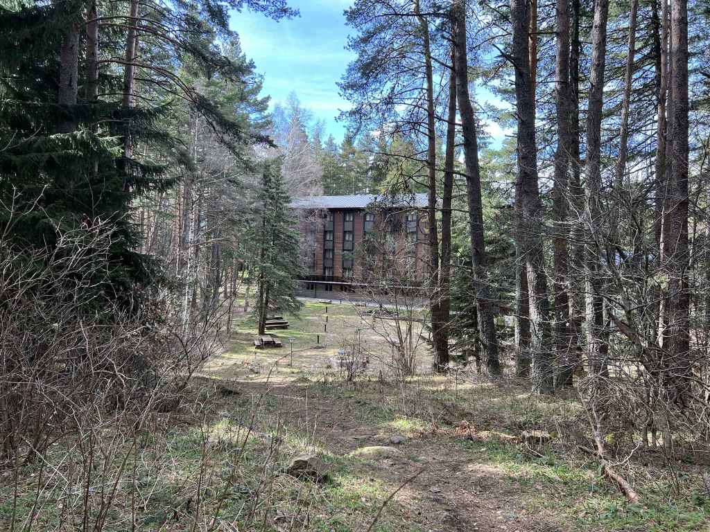
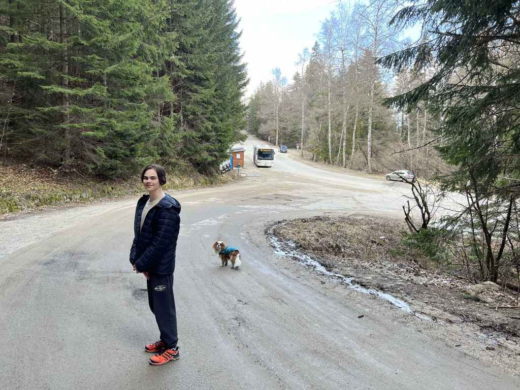
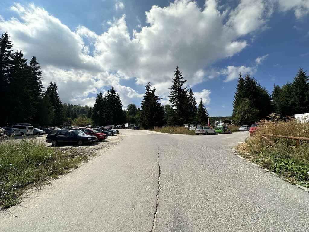
When you reach Zlatni Mostove, where the bus turns around, ignore the turning on the left and continue on the main road, which is partly cobbled, partly tarmacked. After three kilometres, you will reach Ofeliite, a kind of T-junction, with the road continuing on the left to Planinarska Pesen and with a turning on the right to Zvezditsa. There is a small car park on the left, a mountain hut opposite, and a children’s ski slope on the right. The walk takes us along the turning on the right and brings us back along the road on the left.
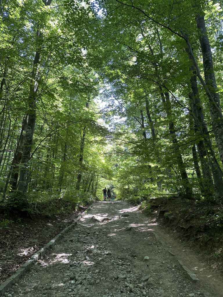
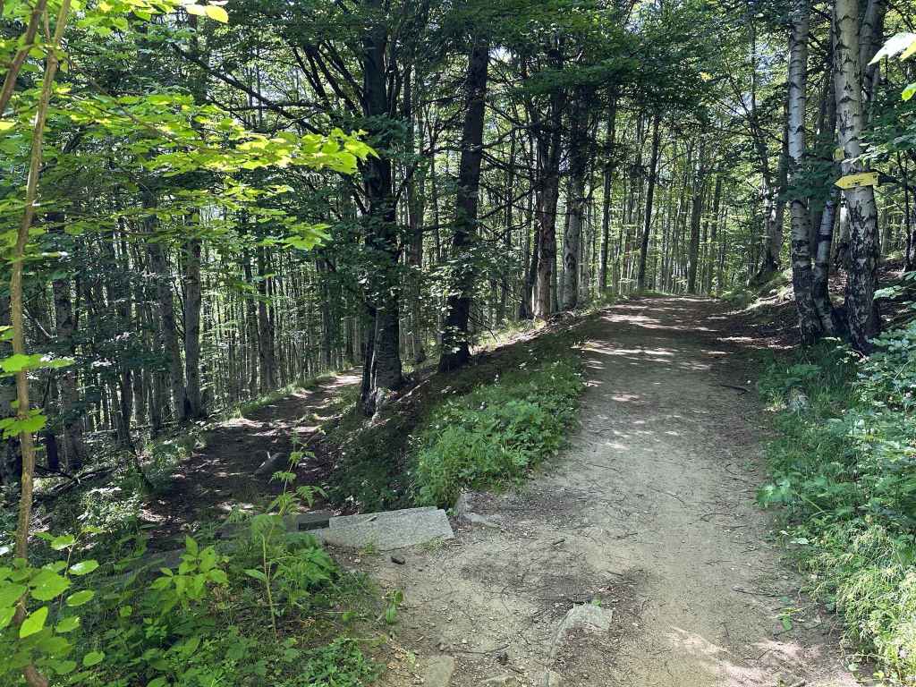
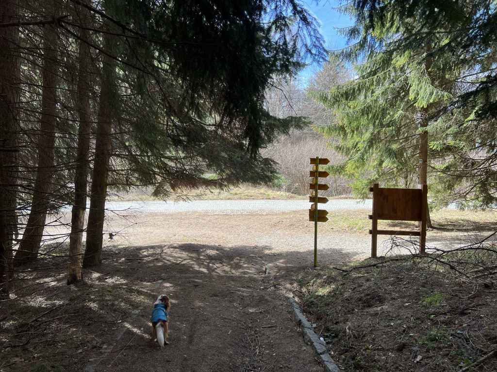
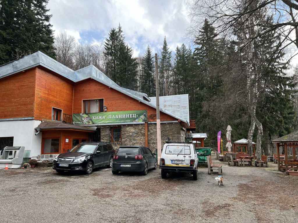
Take the turning on the right (signposted for Trendafila, Zvezditsa, Edelweiss and Advokati). Continue along this road for 380 metres until you reach a path on the left which leads directly up the mountain. Take this path. After ten minutes, it comes close to the road again, which is meandering along next to it. Keep going. In another fifteen minutes, you will come to the hut Edelweiss on your right. This is a popular place to have lunch, and there is also an excellent drinking fountain on the far side of the hut, which is worth a short detour. From here, a path goes left to the hut Kumata. You can shorten this walk by taking this path and rejoining the route at Kumata. It is very picturesque, but it doesn’t take you to within sight of the summit at Konyarnika.
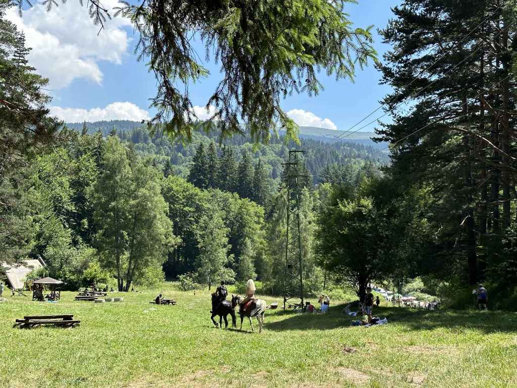
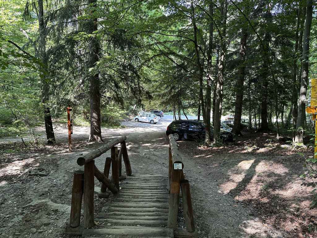
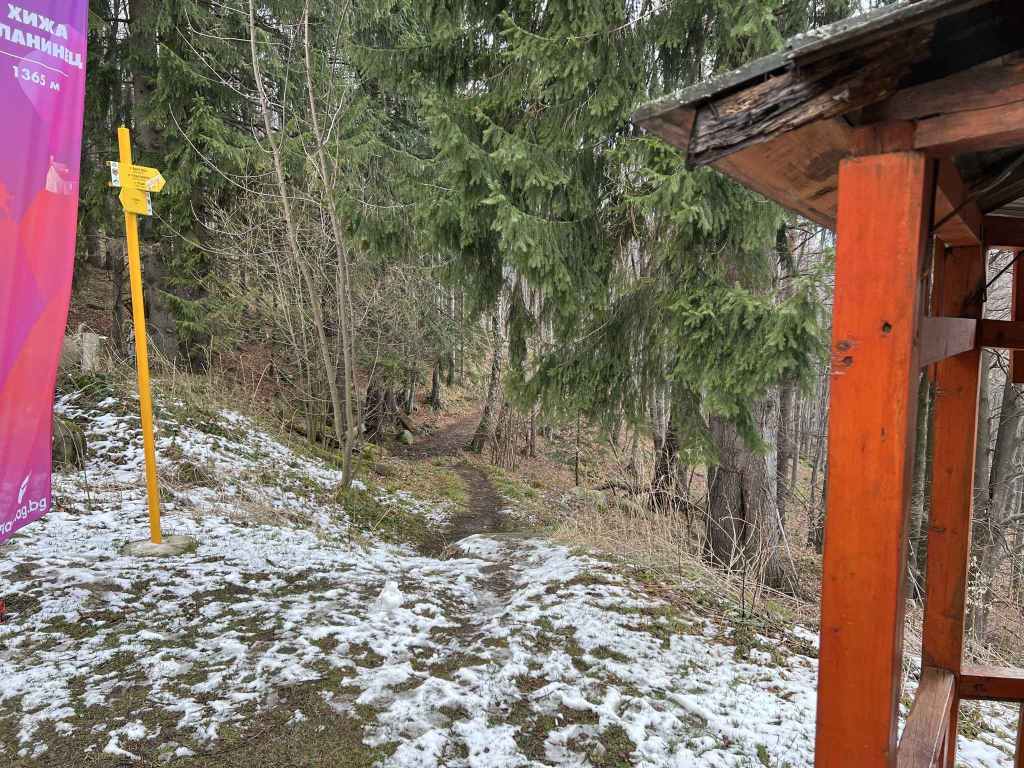
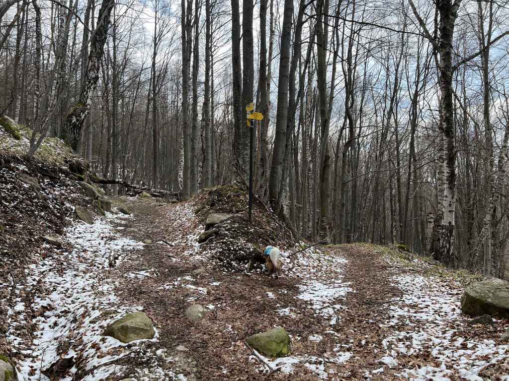
So we will continue uphill, ignoring the paths left to Kumata and right to Edelweiss, and in ten minutes we will come to another hut, Zvezditsa, which is where the road from Ofeliite ends. This is another popular destination for lunch. There is a garden out the back with activities for children. Go straight through this garden and take the wooden walkway that appears immediately on the left, signposted for Konyarnika and Cherni Vrah.
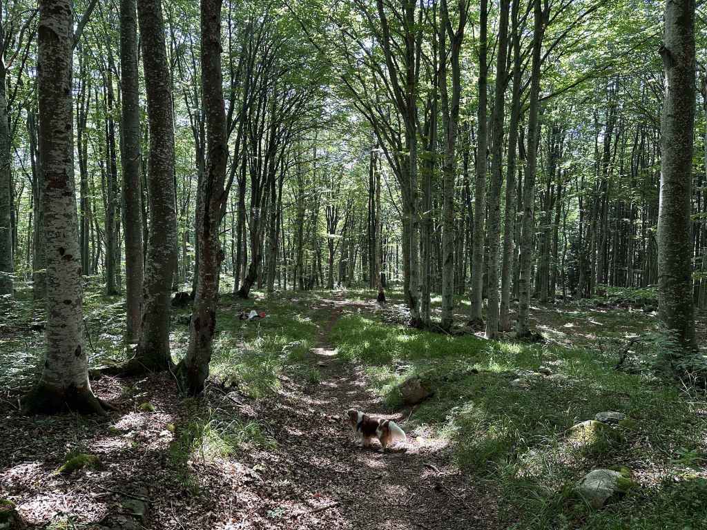
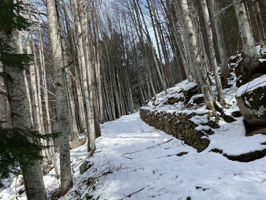
This walkway takes you into a forest. Follow the path through the forest for about twenty minutes. You will cross numerous streams coming down the mountain and pass a moraine field on the right. On leaving the forest, there are rocks on your left, and then a wonderful view towards the summit, Cherni Vrah, opens up on your right. I suggest leaving the path at this point, once you are out in the open, and climbing one of the rocks on the left. People stop here to have a picnic and to enjoy the amazing views north-west from here. You cannot see Sofia (that is hidden by the mountain), but you can just make out the TV tower at Kopitoto.
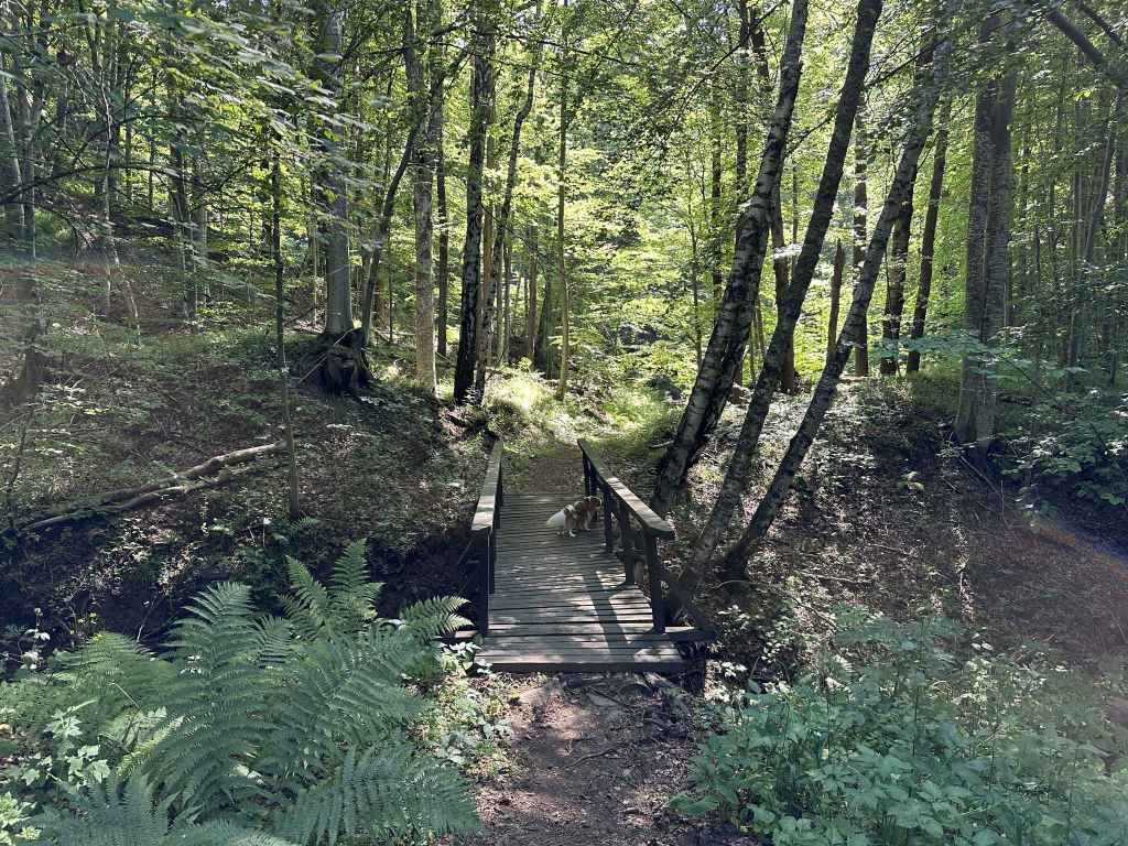
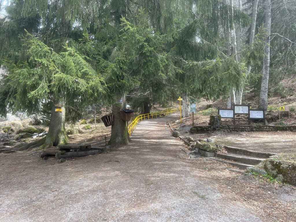
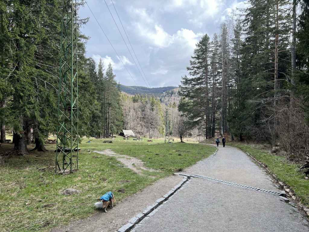
Rejoin the path you were on, and in five minutes you will come to the main path between Kumata and Cherni Vrah. This is Konyarnika. There are several picnic tables, a disused chair lift, some abandoned huts on the left and Sredets Peak directly in front of you. I have had surprisingly warms days in November, sitting here, enjoying the view. Where the path you were on joins this new path, there is a black and yellow post with the number 180 on it. Go right here, and the path will take you to the summit (see the walk Kumata), but we are going to go left. To get to Kumata, follow this path, ignore the black and yellow posts that cut across the grass on your right and keep going. The path gradually becomes a sort of road. The posts rejoin the road further on. At post 194, leave the road and veer left. After post 196, you will come to a bridge over Vladaya River, a truly magnificent river that features in the walk Tihiya Kat, but here is much smaller. In fact, it has only just formed in the peat reserve between you and Cherni Vrah.
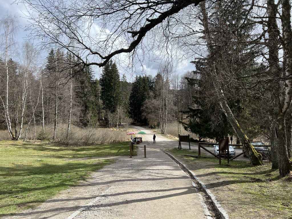
Cross the river and rejoin the road at post 204. Turn left. Continue along the road for 50 metres, then take the path on the right (post 206). This path will take you straight to the hut Kumata (post 218). Go past the hut on your left, cross the road in front of you and take the path directly opposite, signposted for Zlatni Mostove. (The shorter route from Edelweiss arrives here from the left, at the far end of the car park.) In less than ten minutes, you will come to the road between Ofeliite and Planinarska Pesen. Go straight across and take the path diagonally opposite. This path heads down to Zlatni Mostove. In three minutes you will pass a fountain on your right, where there is a sort of crossroads. The path ahead and the path on the right feature in the walk Zlatni Mostove, but we are going to take the path on the left, signposted for Vladaya via Ofeliite. This lovely path takes you over a stream, then over Vladaya River, which is already gaining in confidence, past the Vetrovala ski slope on your right, which has wonderful views off into the distance. In twenty minutes, you will again come to the road between Ofeliite and Planinarska Pesen. Go straight across, walk down the path opposite and rejoin the road no more than a minute later. Now turn left and follow the road back to Ofeliite.