Kostenets is actually two waterfalls. There is Kostenets Waterfall in the village of Kostenets, and then the higher Skalovitets Waterfall at a distance of six kilometres. Both waterfalls are accessed from the village of Kostenets, not the town. Travelling from Sofia, you need to take the A1 motorway in the direction of Plovdiv and take the exit after Ihtiman, which is signposted for Muhovo and Kostenets. After leaving the motorway, you pass through Mirovo (where there is a turning for the Gate of Trajan, a mountain pass that formed the border between Thrace and Macedonia and the site of a famous tenth-century battle between the Bulgarians and the Byzantines, which the Bulgarians under Tsar Samuil won) and then the spa resort of Momin Prohod. Be careful along here because there are lots of speed traps. You then enter the town of Kostenets.
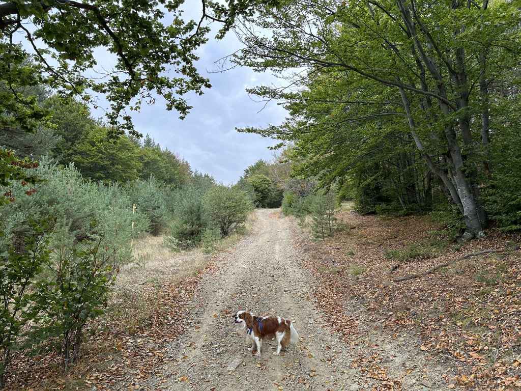
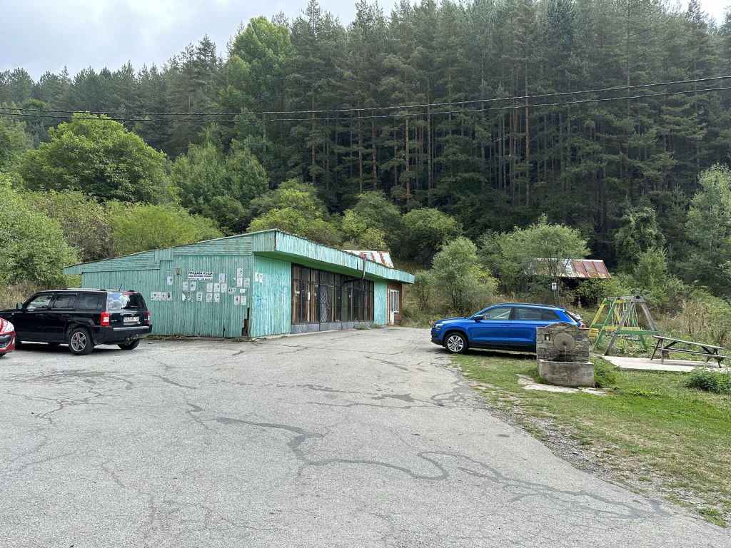
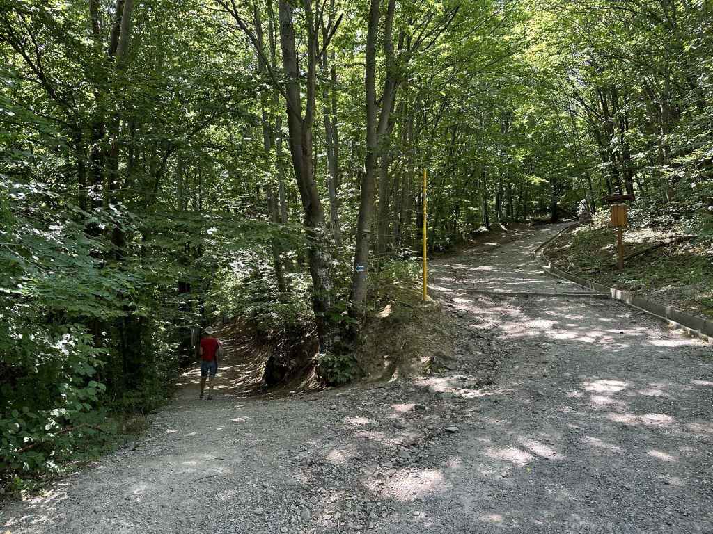
1.2 kilometres after you enter Kostenets, take the turning on your left. This turning takes you under the road you were on and under the railway. Immediately after the railway, take the first turning on the left, which is signposted for the villas and village of Kostenets. Stay on this road, which veers right after the railway station and heads towards the village, five kilometres further south-west. On entering the village, continue past the church and the main square until you reach a roundabout after 1.7 kilometres. Turn left at the roundabout and take the road going uphill. It crosses the Chavcha River and ends at the first of the waterfalls you have come to visit, Kostenets. There are parking spaces on the right of the road.
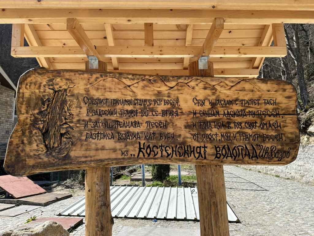
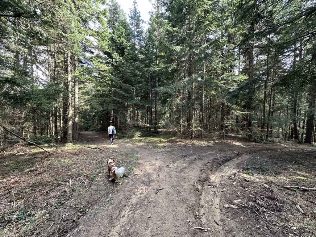
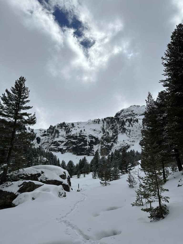
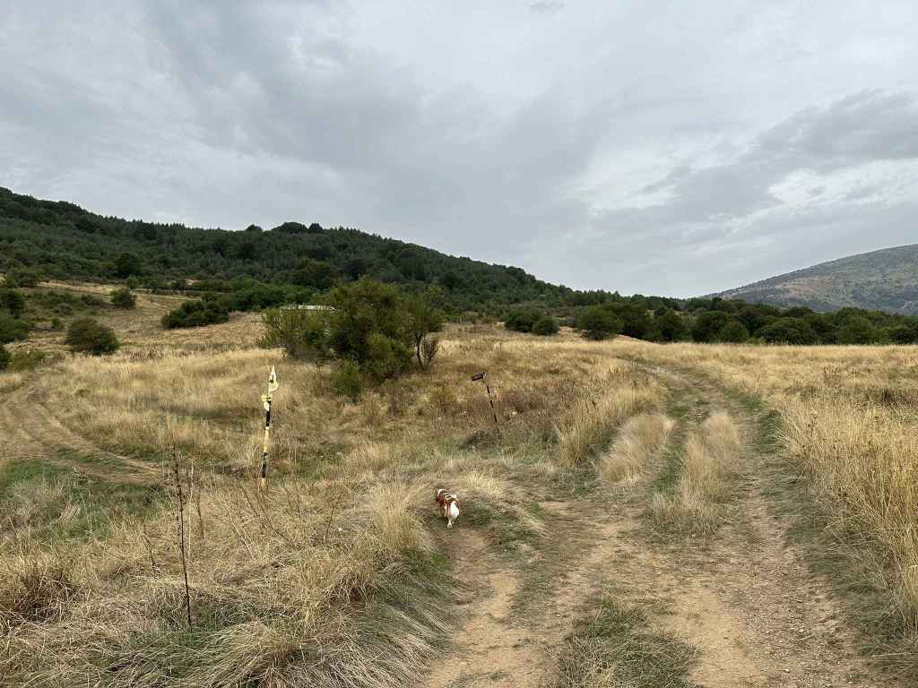
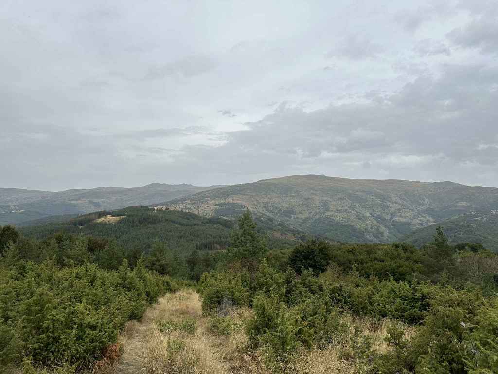
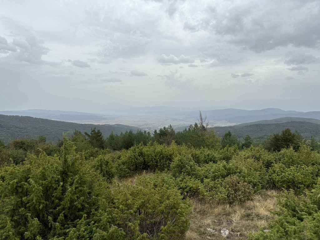
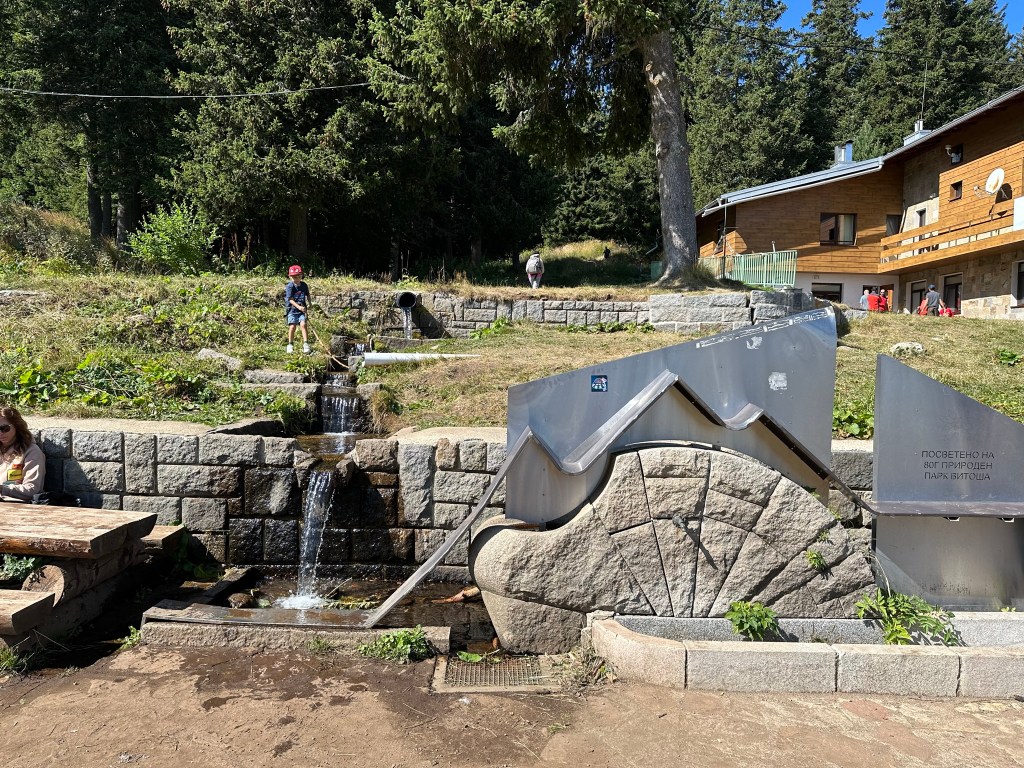
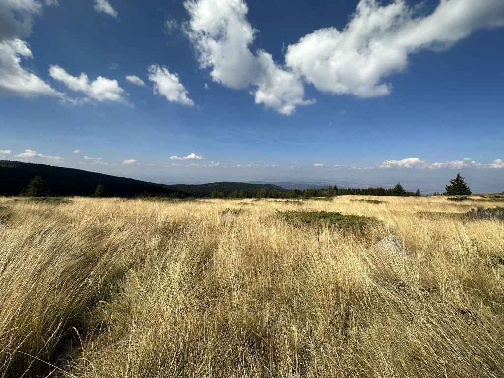
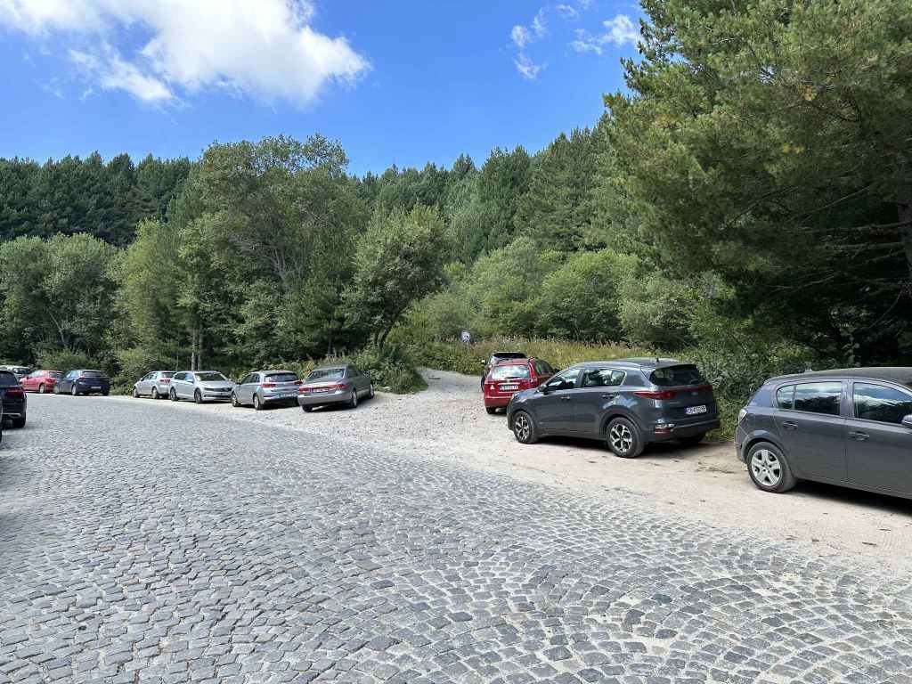
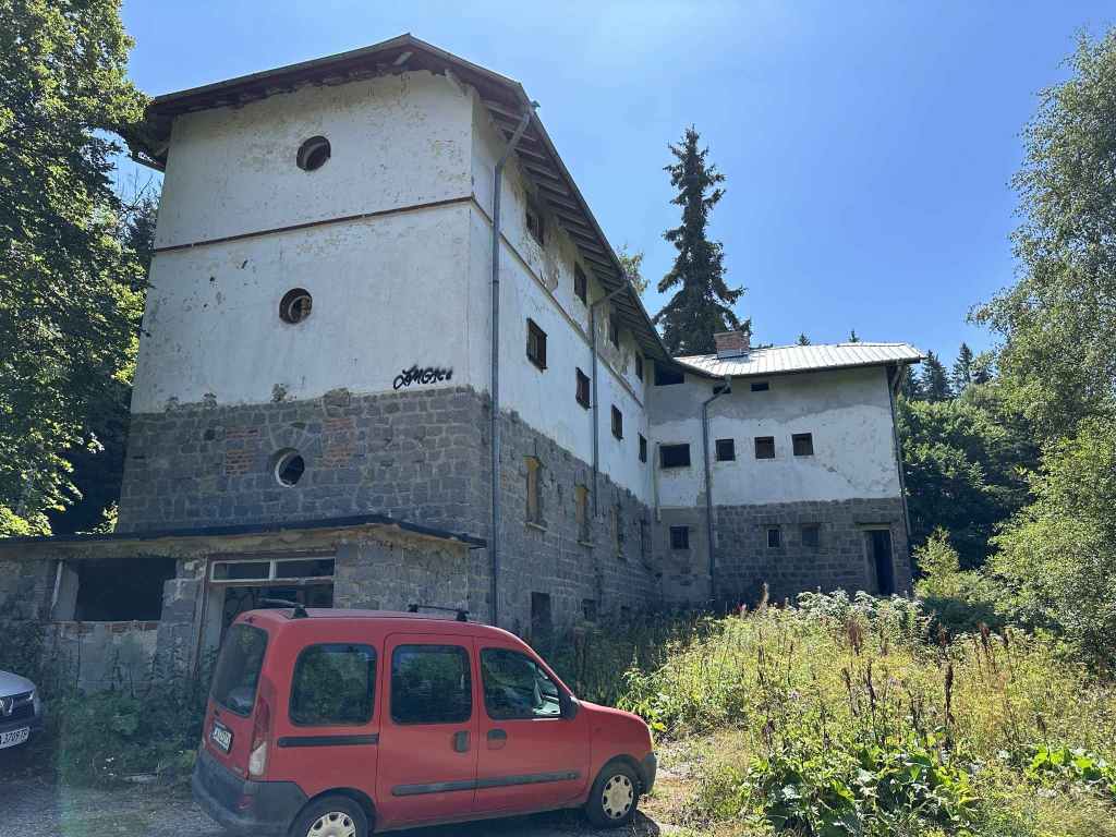
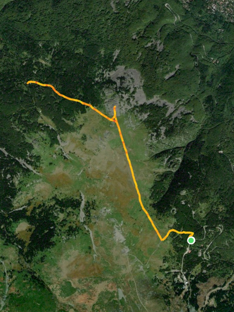
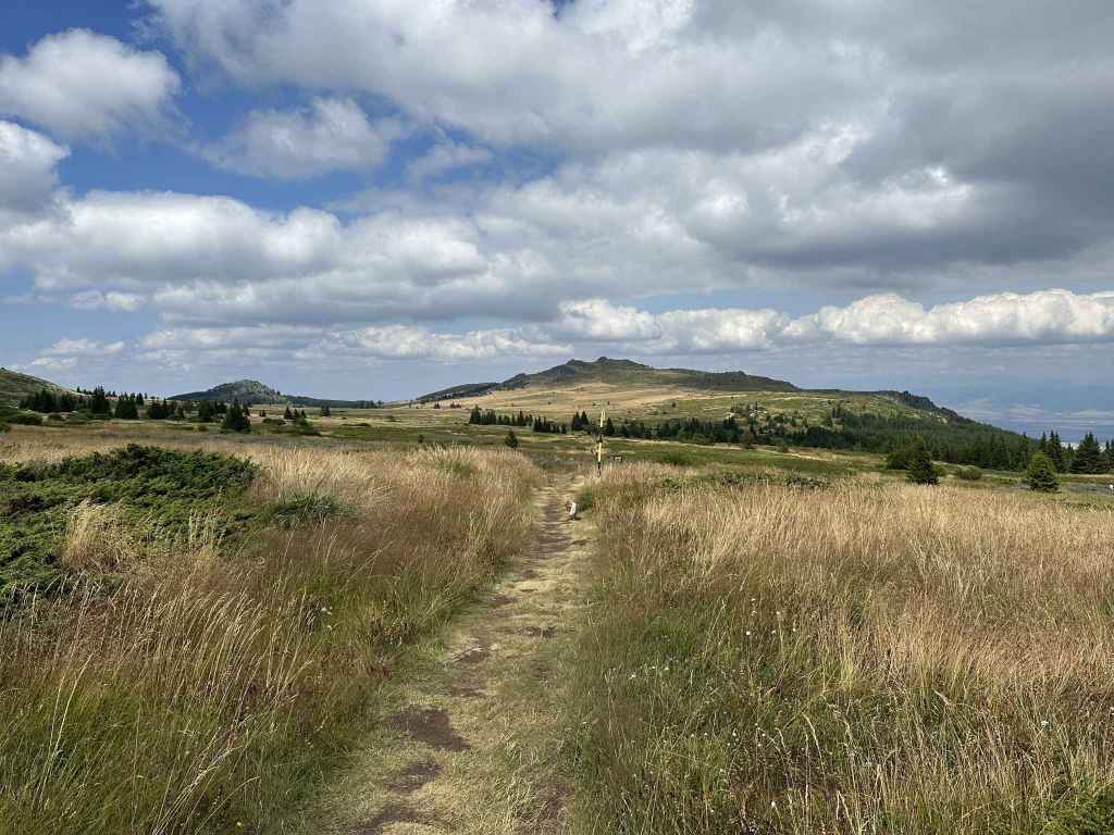
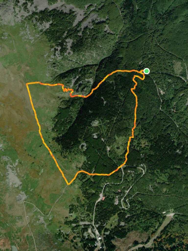
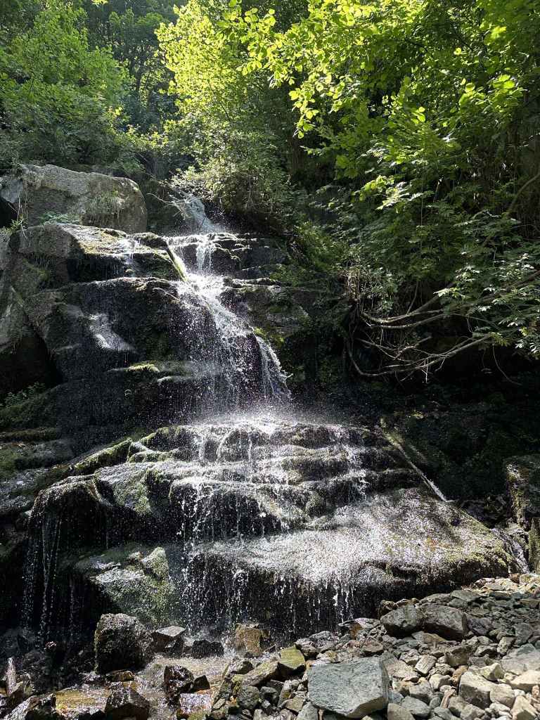
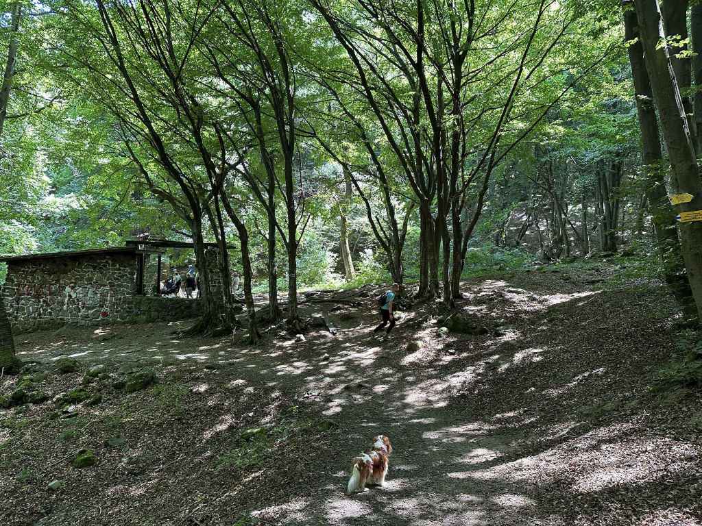
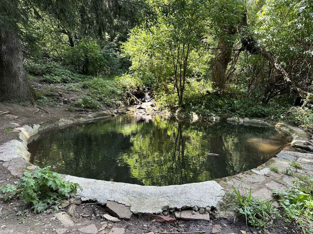
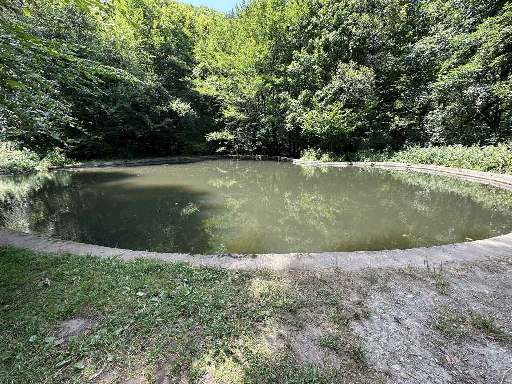
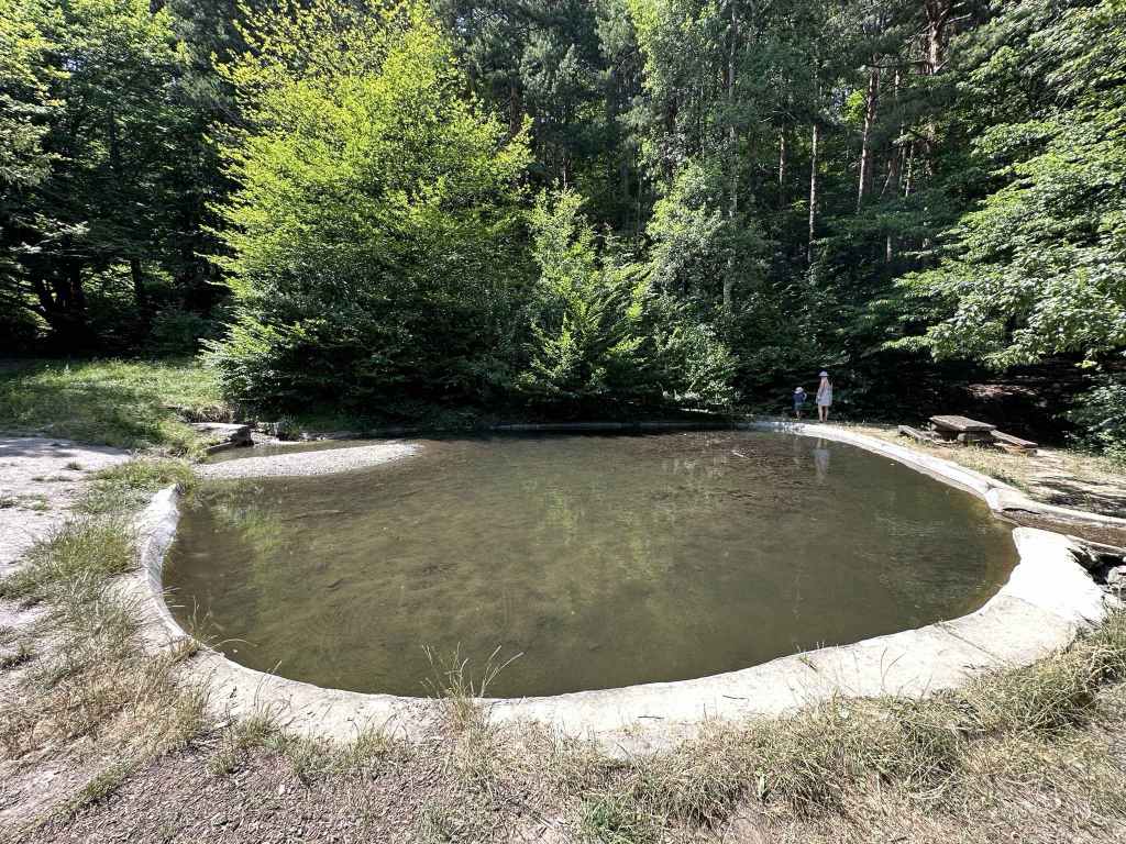
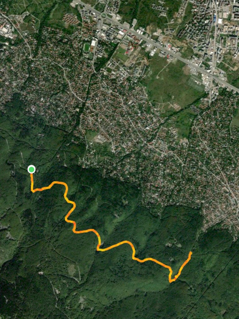
Kostenets Waterfall is small, but very pretty. There is a wooden sign containing part of a poem written about the waterfall by Ivan Vazov and, on the left, Therma Kostenetz, which has mineral pools. The waterfall itself is at the top of some steps. To visit Skalovitets Waterfall, you now have a choice: to walk six kilometres or to drive as far as Gurgulitsa Hut, which shortens the walk considerably. The walk took us an hour and a half. At the wooden sign, cross the river and take the road going uphill, which leads directly to Gurgulitsa Hut. The road loops and meanders, and there are paths through the forest that act as shortcuts, but they are not always obvious, so we stayed on the road most of the time. 2.2 kilometres after you leave the river behind, there is a picnic spot – at this point, we cut through the forest, but before long we were back on the road again. In another 1.4 kilometres, you come to a sort of crossroads. Gurgulitsa Hut is in the trees on your left. This is the distance you will save if you decide to drive to the hut.
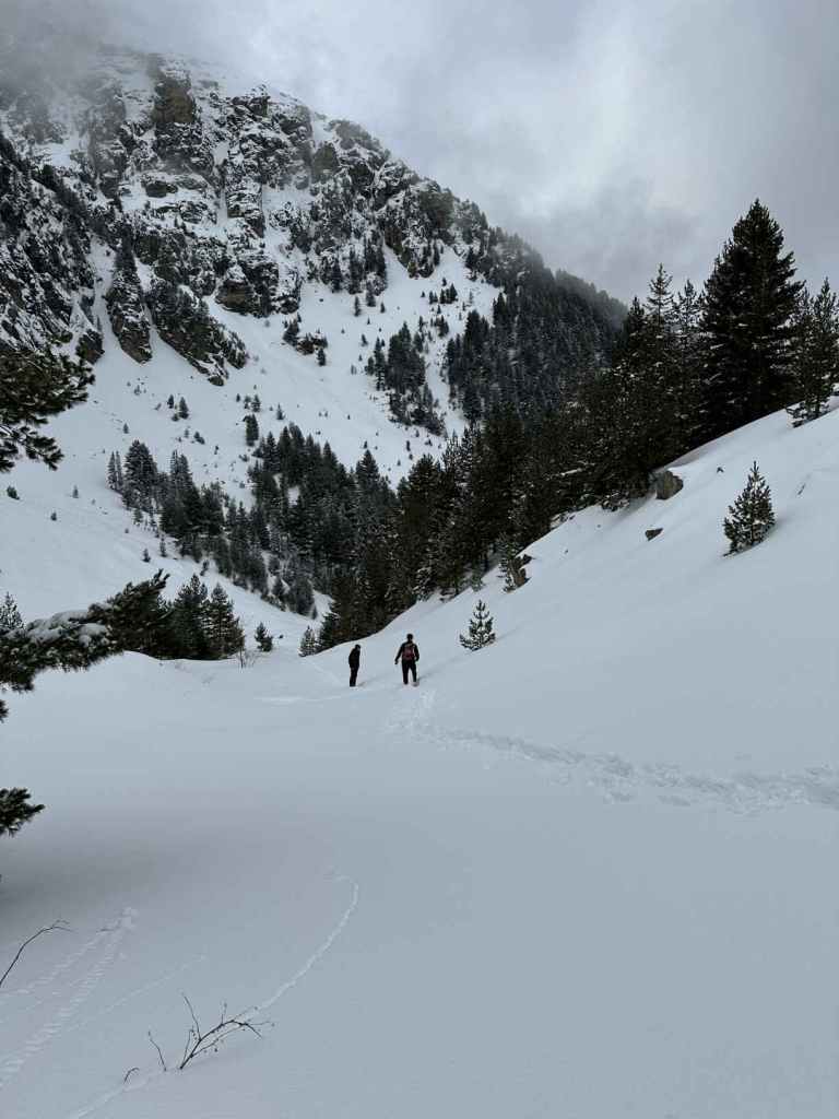
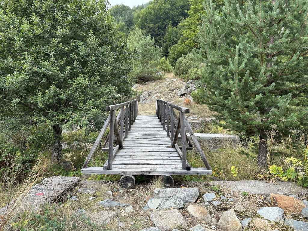
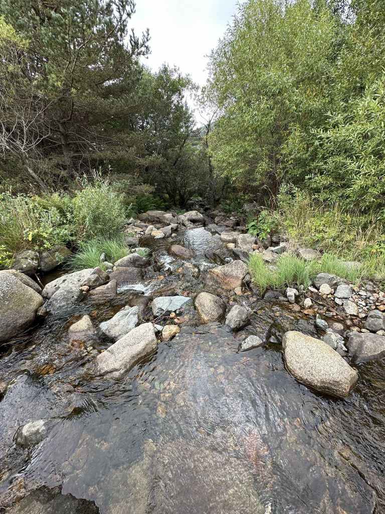
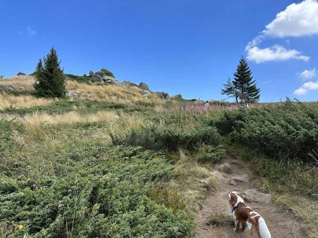
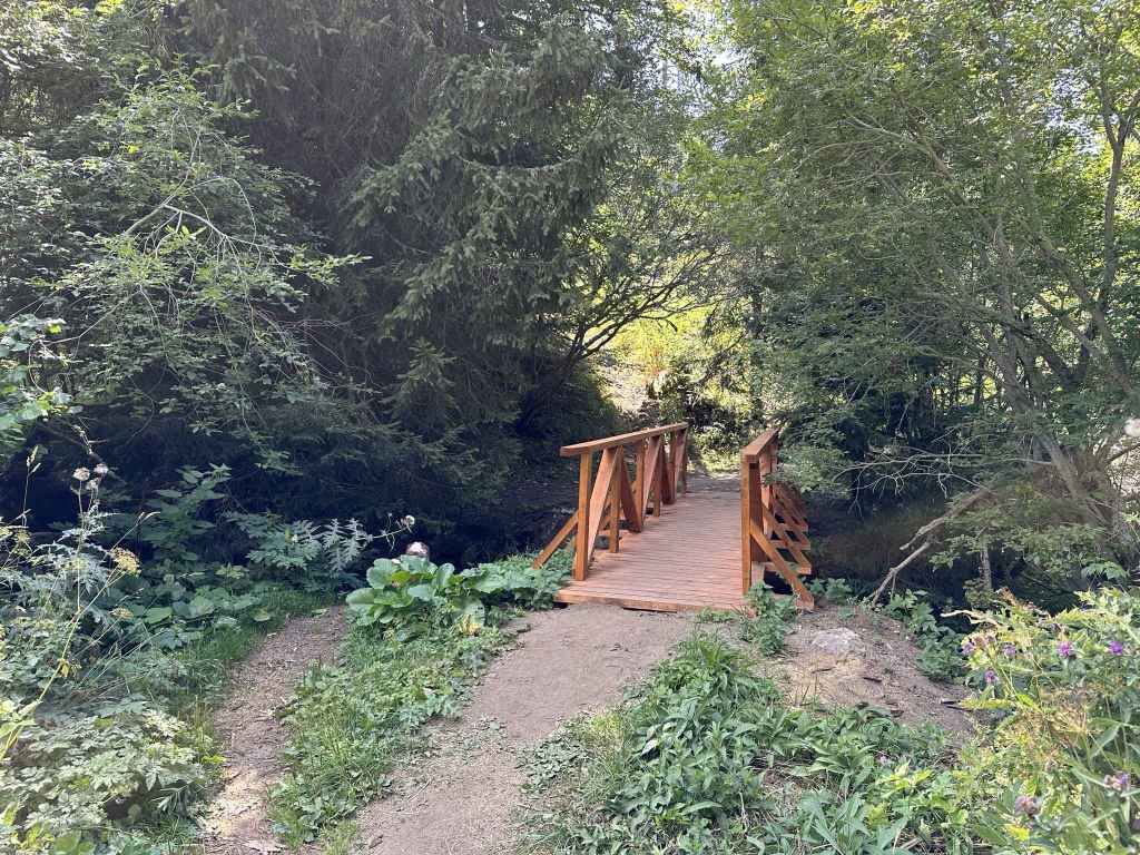
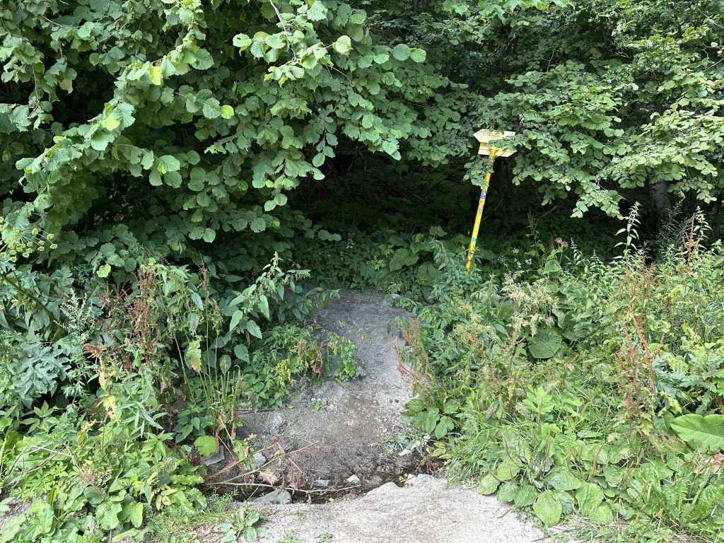
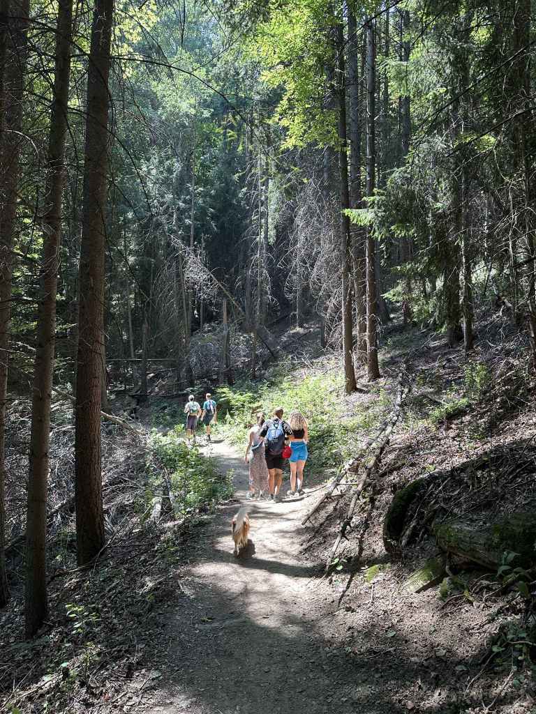
Go past the hut on your right, and you come to a barrier, behind which is a field. You now need to turn right (east) and take the path entering the forest. There are numerous arrows, all of which are pointing towards the waterfall, I think. After 350 metres, the path, now a track, descends on the right, but the path to the waterfall diverges on the left. Go down the path on the left, and in another 800 metres of fairly steep descent you come to a bench with a branch of the river behind it. This is not the waterfall. Turn left (again, there is an arrow), after 200 metres cross this branch of the river and continue right, along a dirt track. In another 600 metres, you reach the other branch of the river, where the waterfall is located. There is a picnic shelter. The waterfall is 150 metres upstream.
The two branches of the river become one further downstream. They then join the Chavcha river, which itself joins the Maritsa on its way to Plovdiv and the Aegean. Rivers have their own way of doing things, and it seems to me they’re pretty content to do them, so long as we let them.
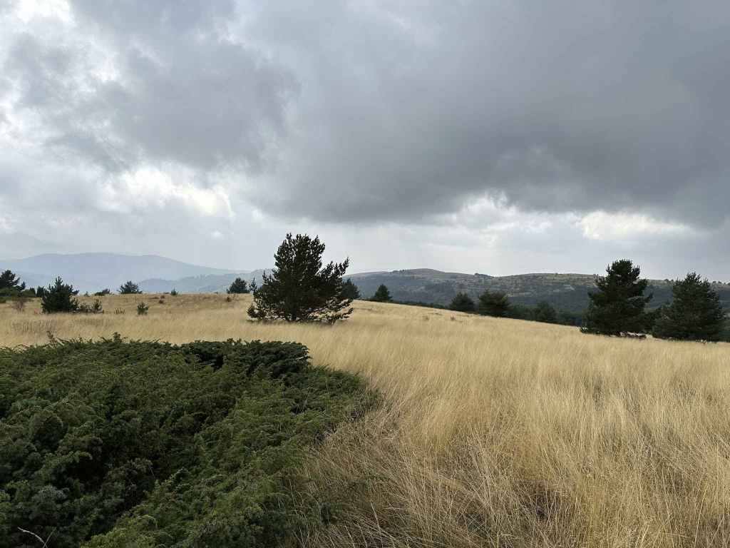
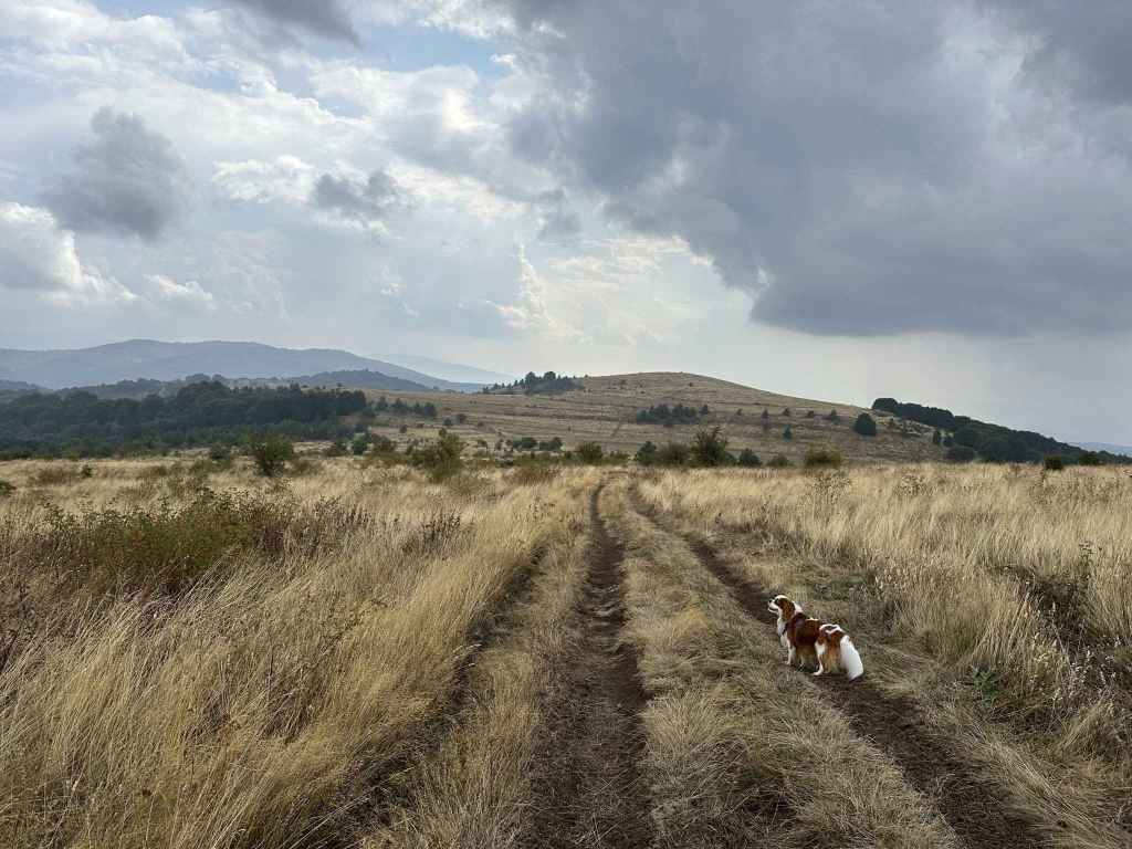
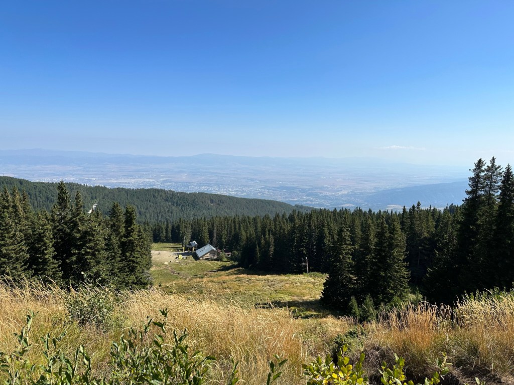
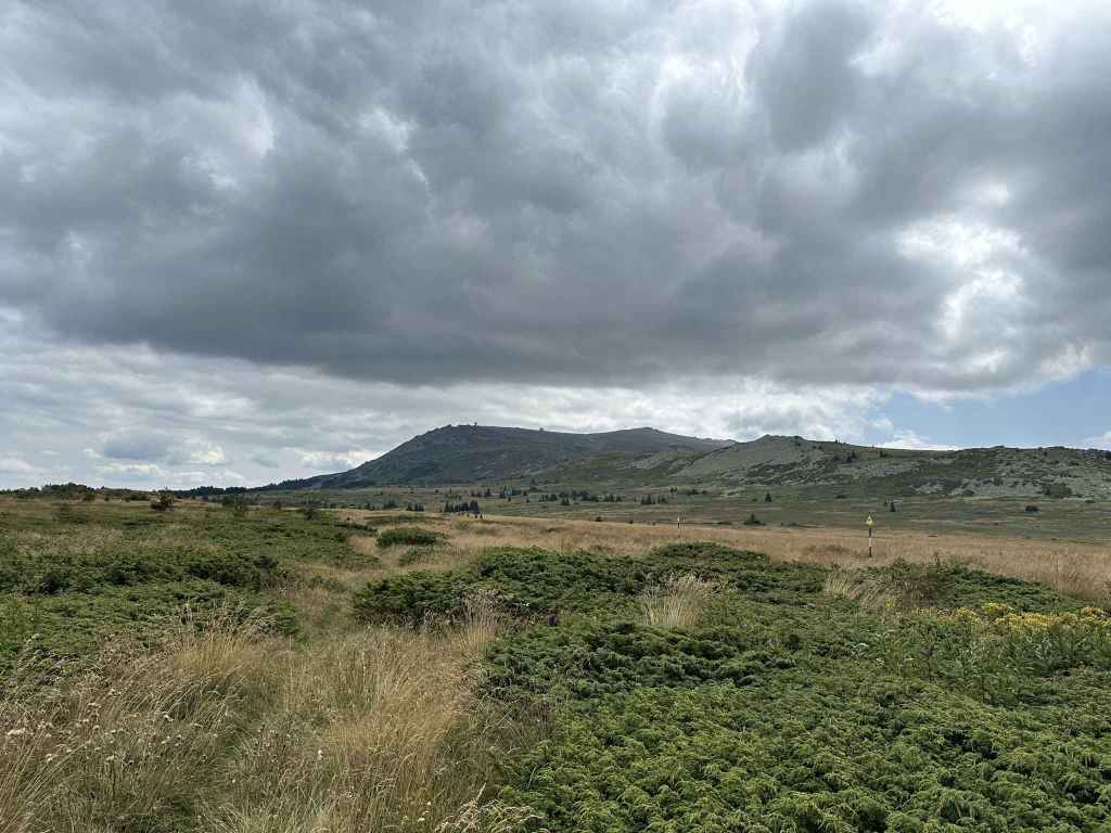
There are two other waterfalls on the northern slopes of the magnificent Rila Mountain. They are both further west – Sapareva Banya (Rilska Skakavitsa) and Ovchartsi (Goritsa) – and easily accessible by car from Sofia.