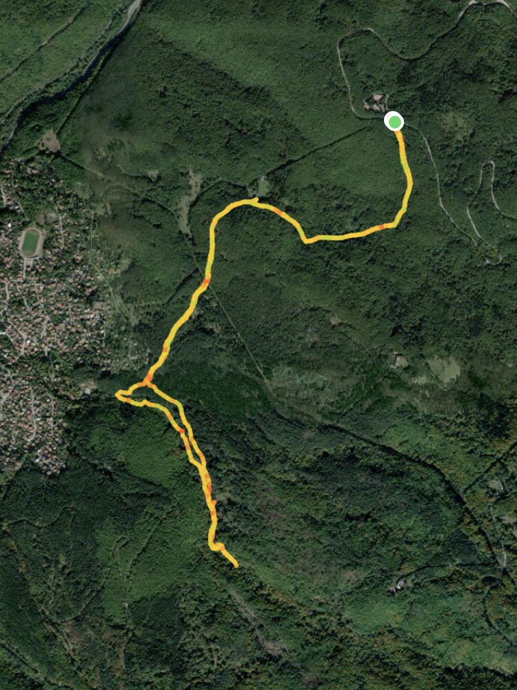
Starting Coordinates: 42.51695, 23.24386
Distance: 9.6 km
Elevation Gain: 350 m
Time: 3½ hours
Difficulty: moderate
Transport: by car
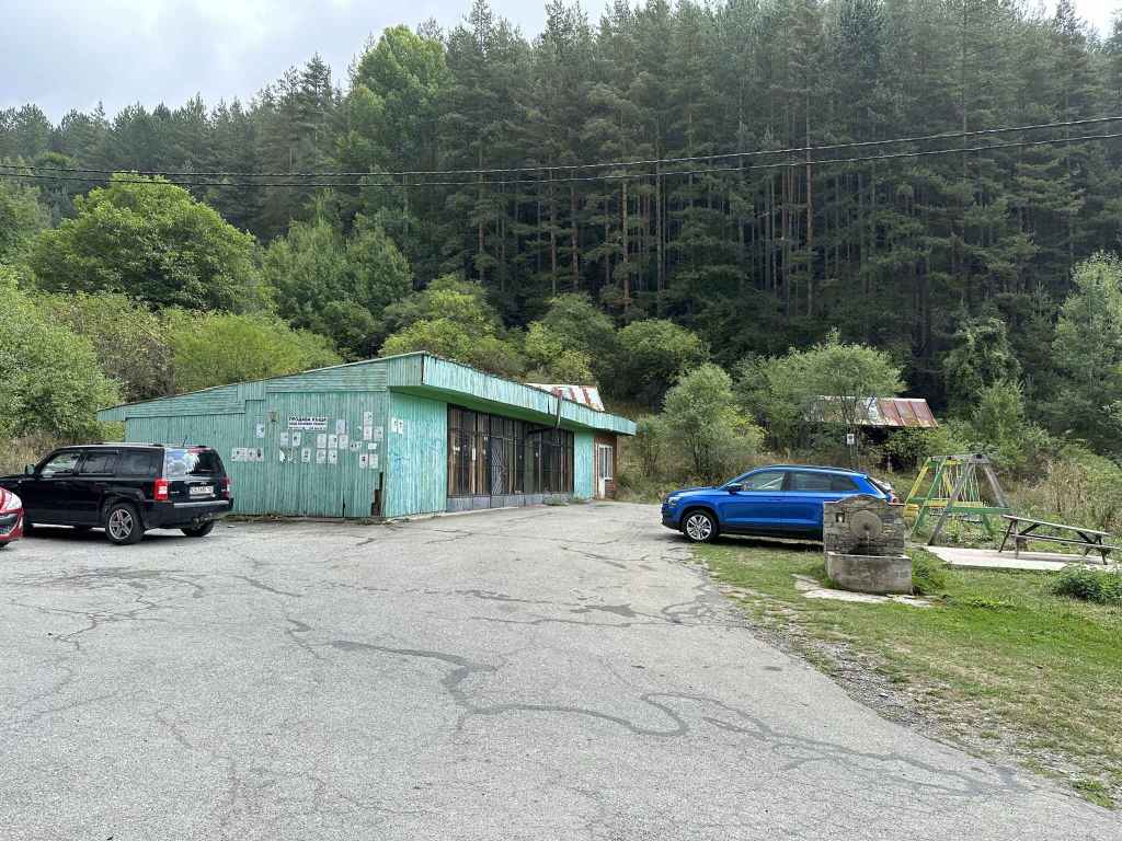
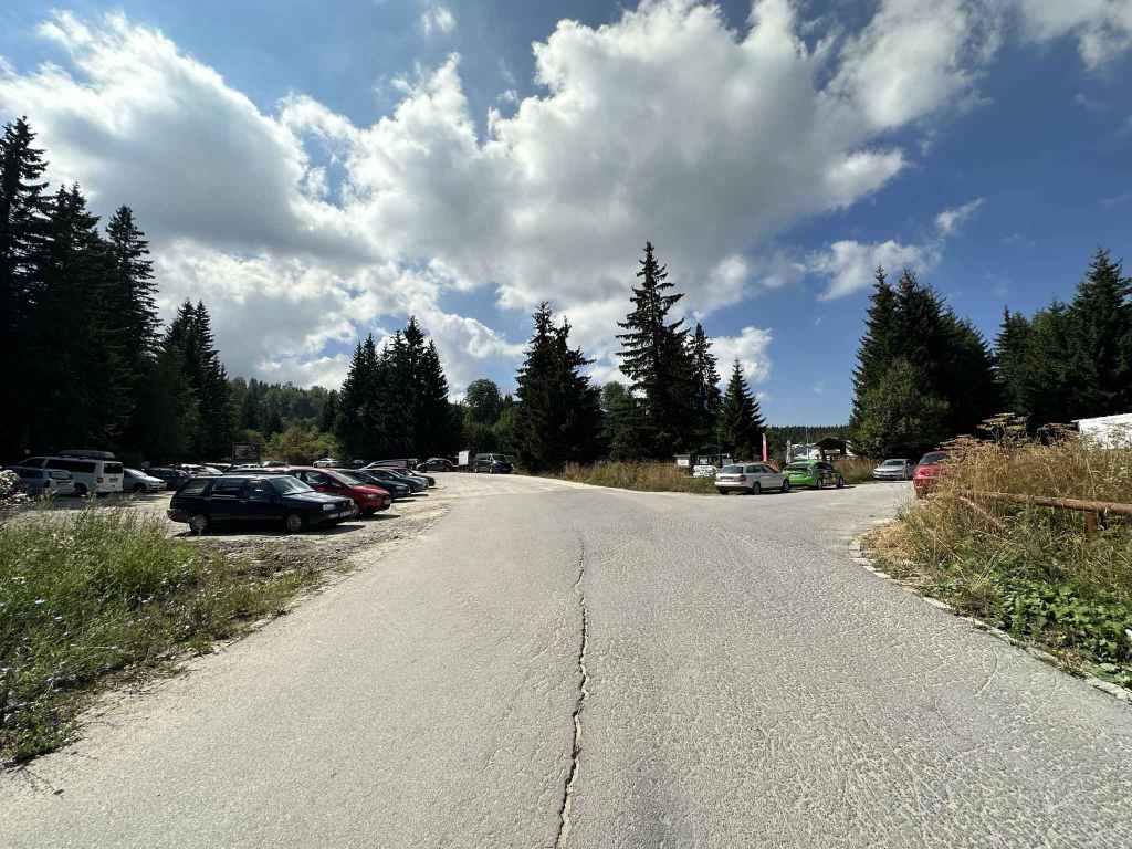
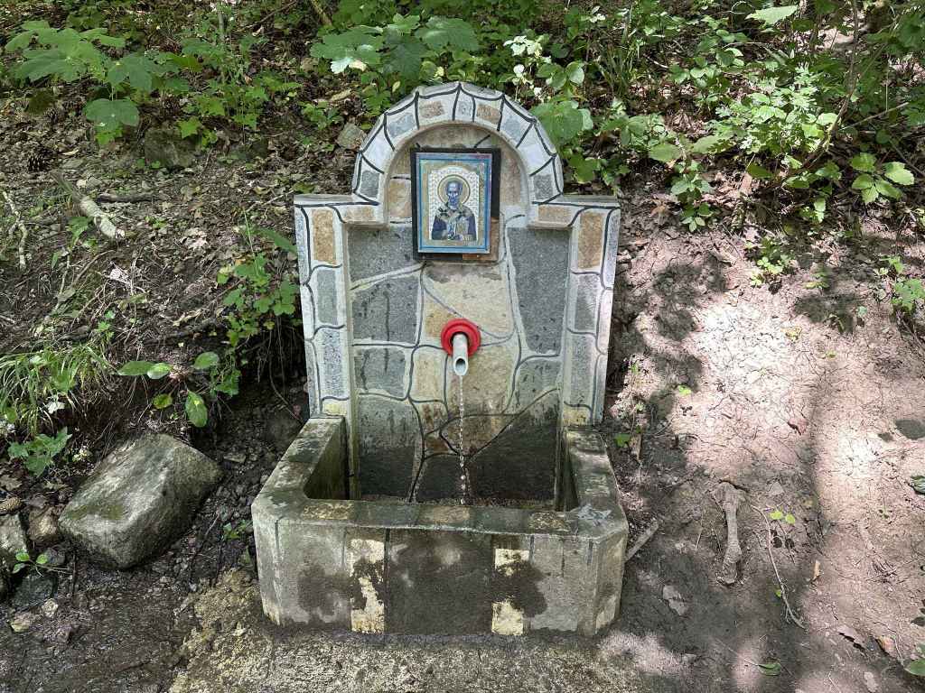
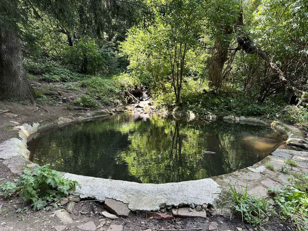
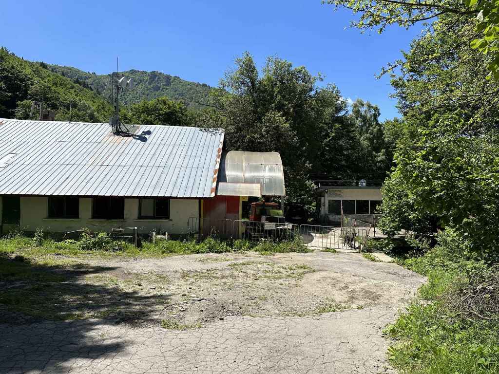
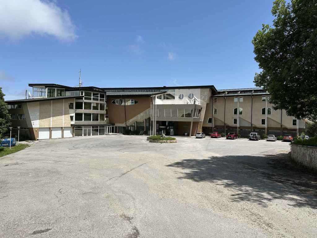
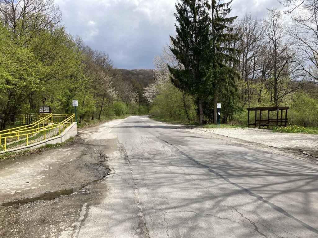
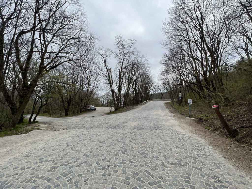
300 metres after the sign for Chuypetlovo, the road ends at a green building and a fountain. 
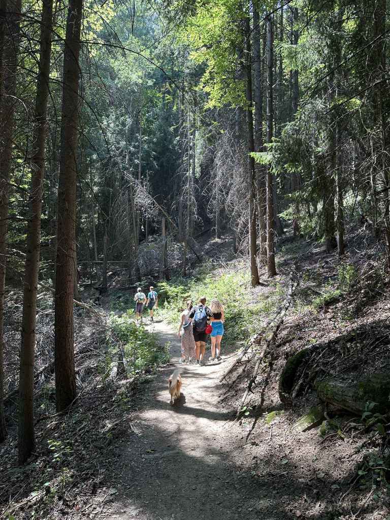
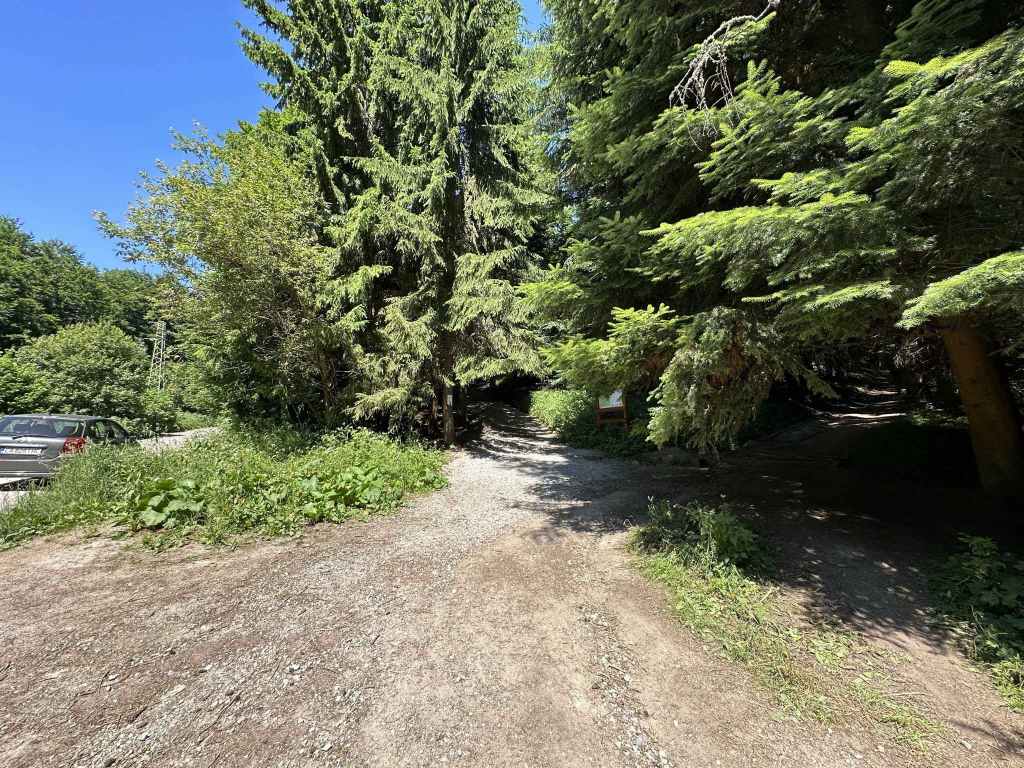
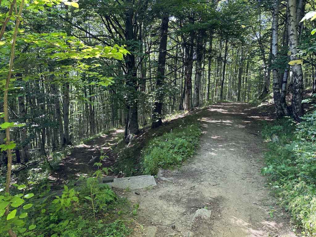
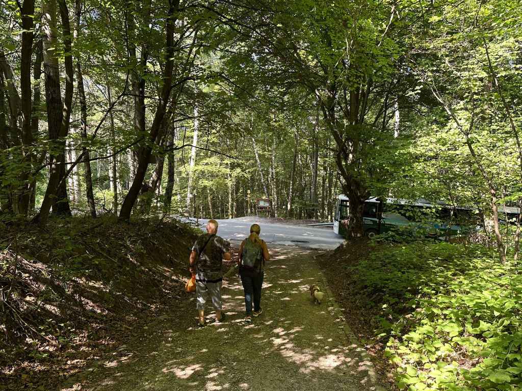
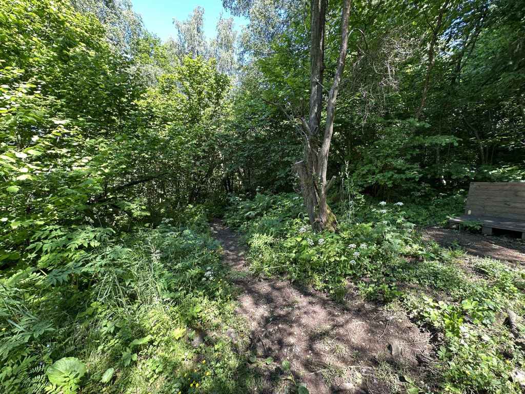
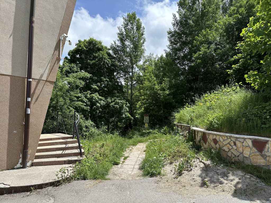
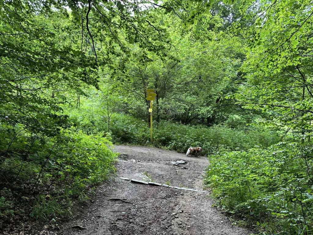
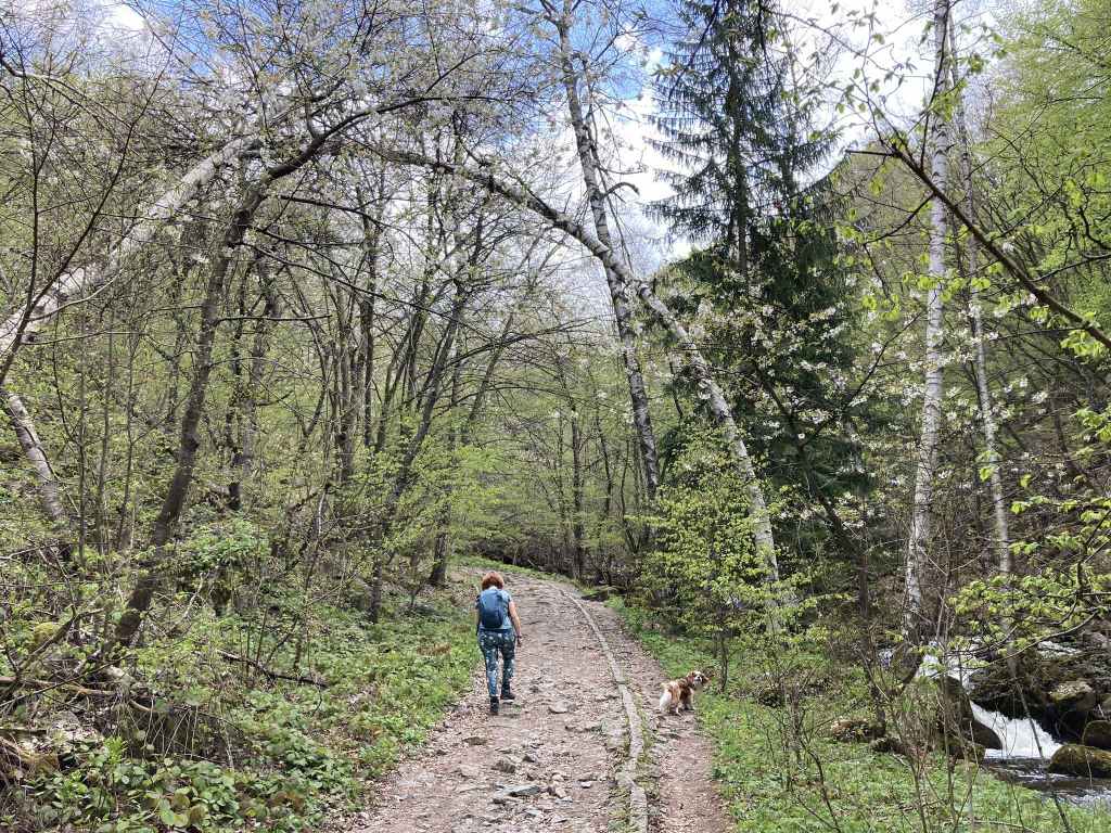
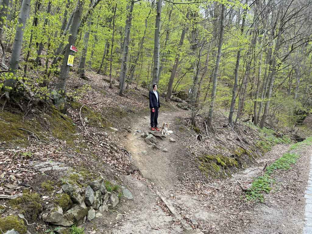
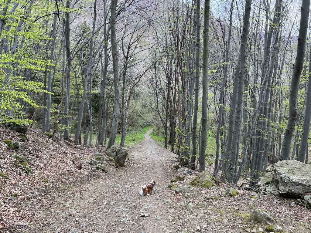
Take the shared trail heading north out of the village, with the river on your left. 
The trail leaving the village. 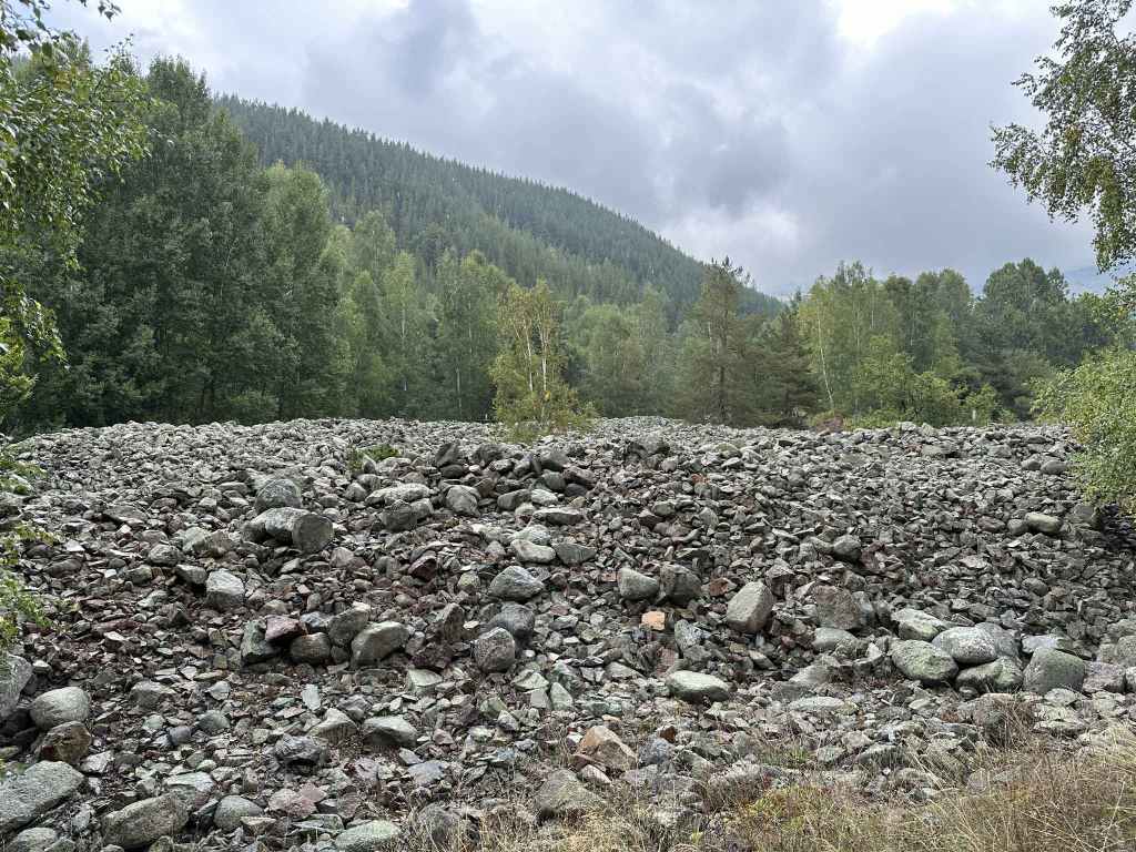
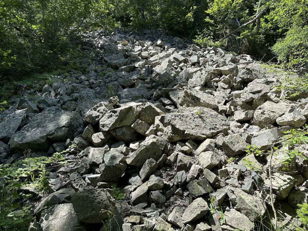
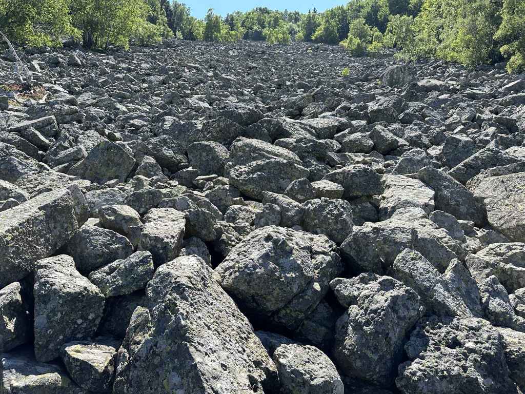
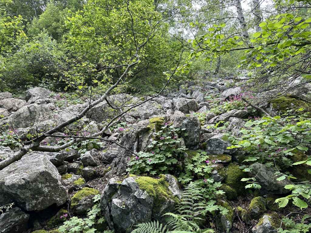
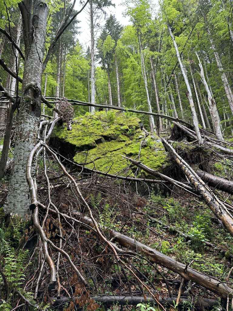
Moraines to the left of the path. 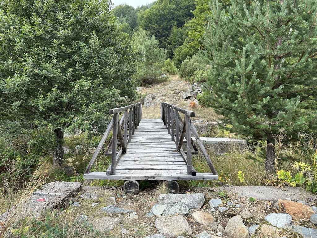
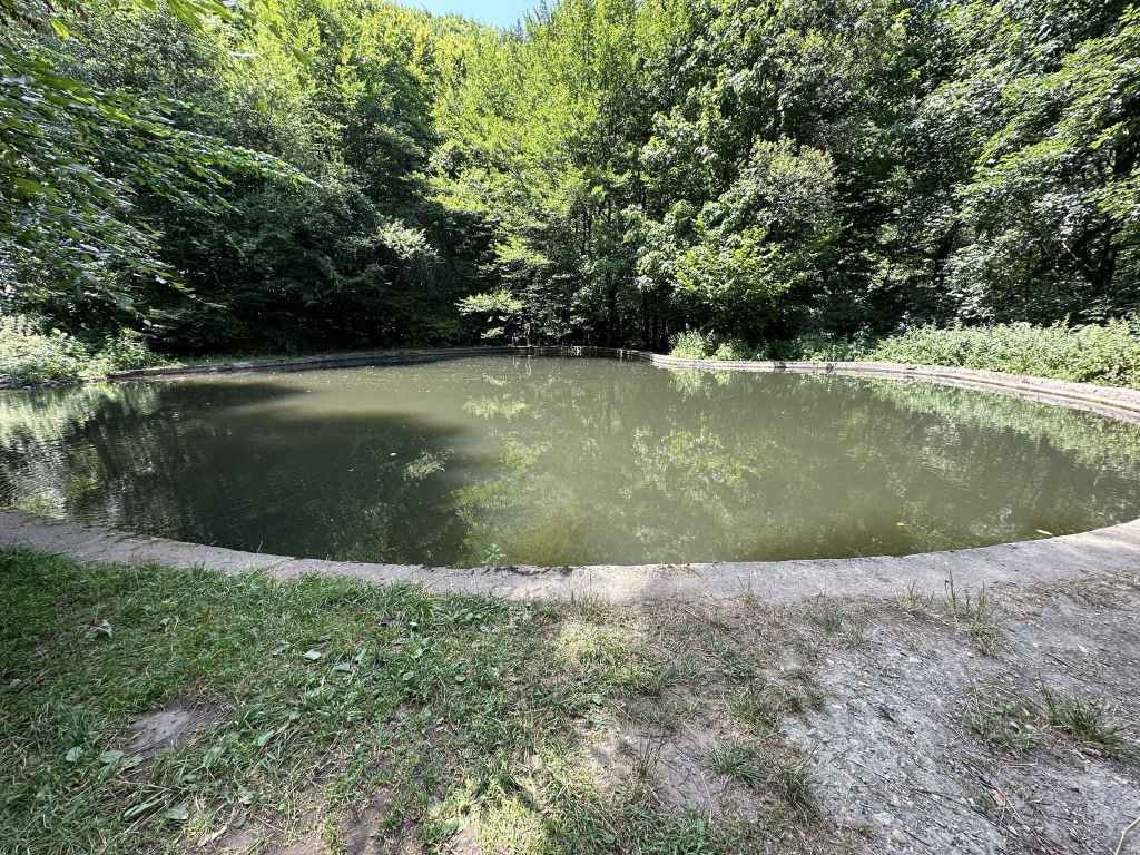
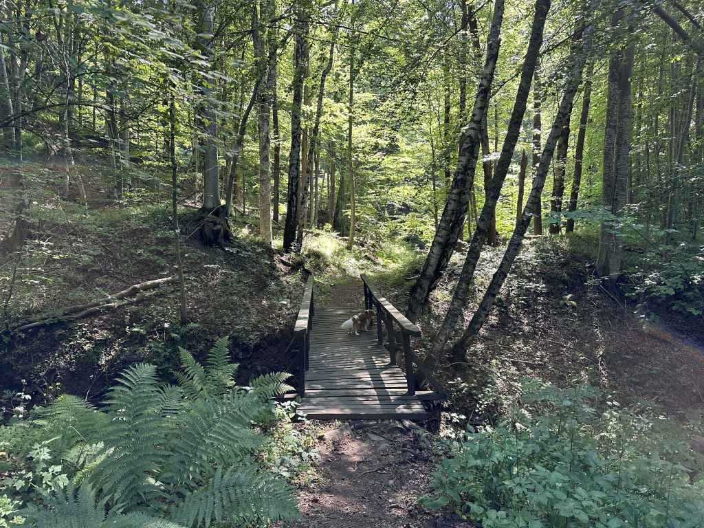
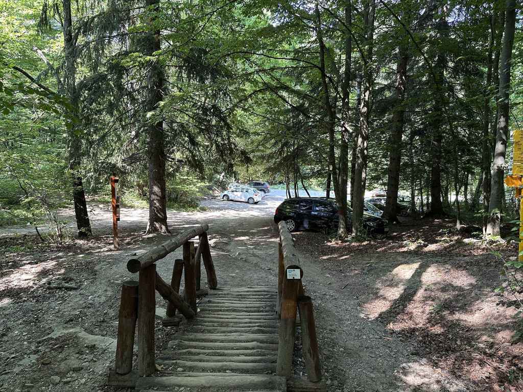
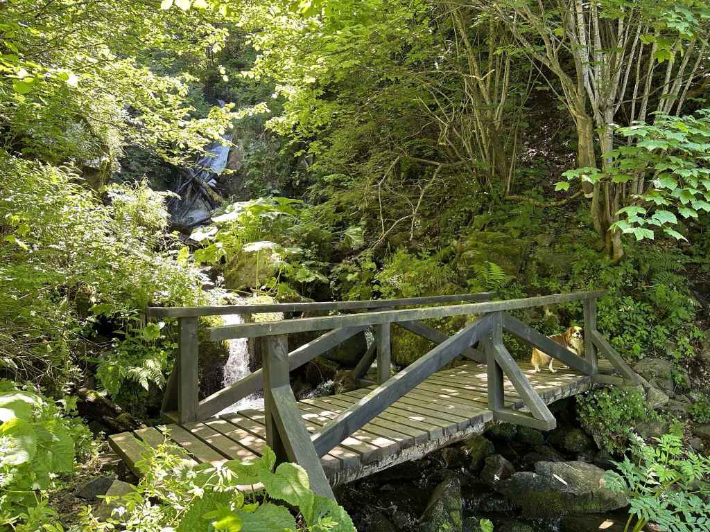
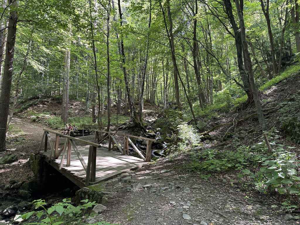
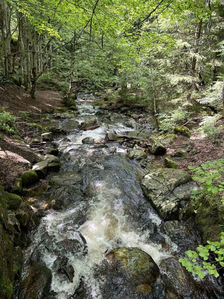
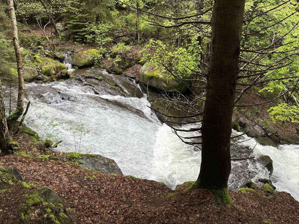
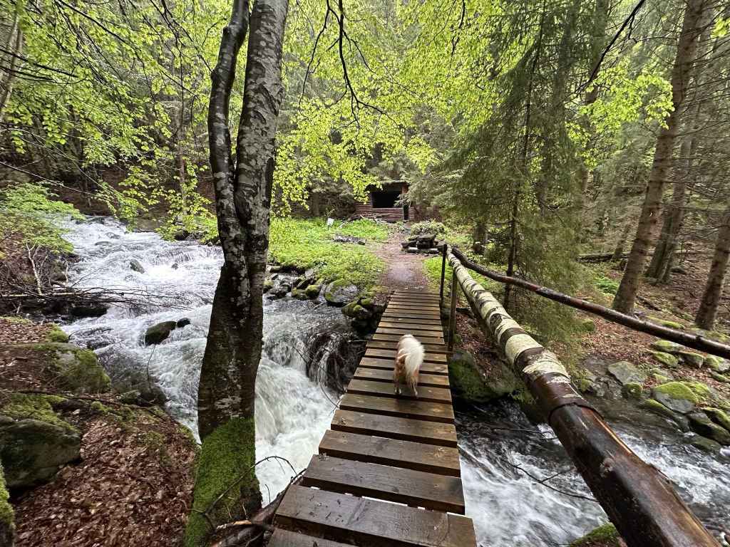
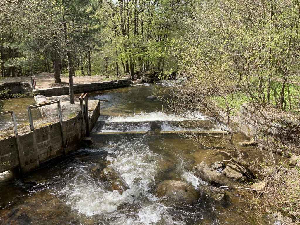
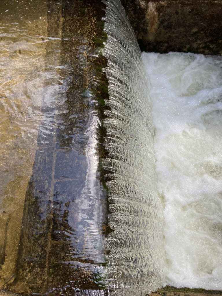
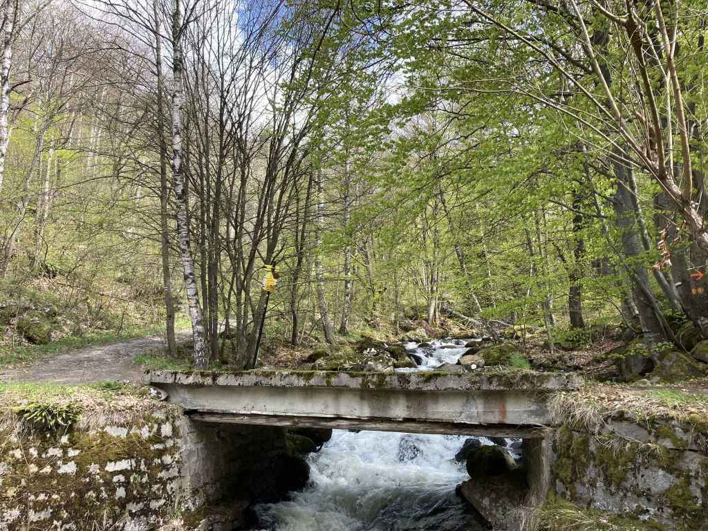
The bridge over the river Struma. 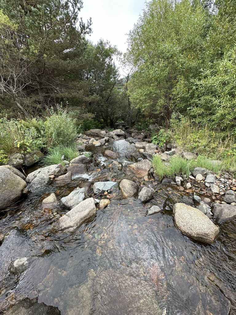
The river Struma heading south. 
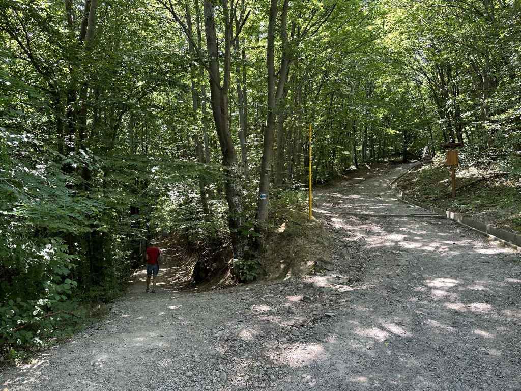
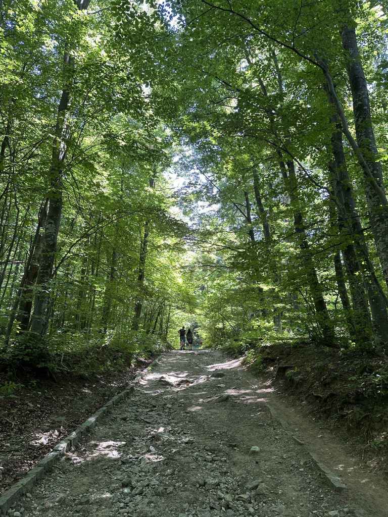
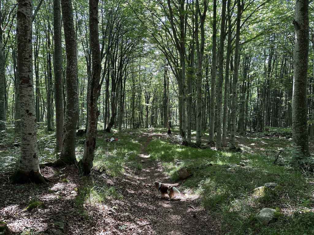
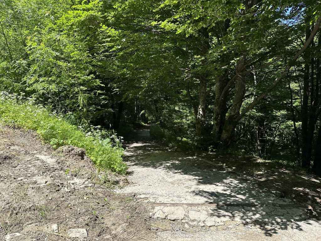
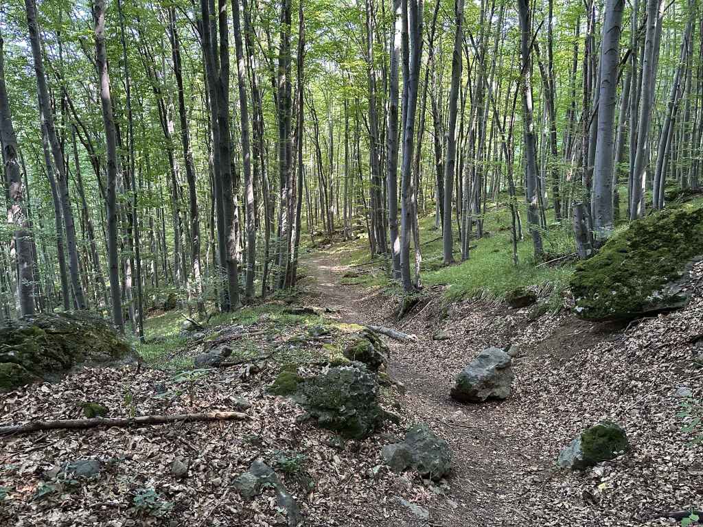
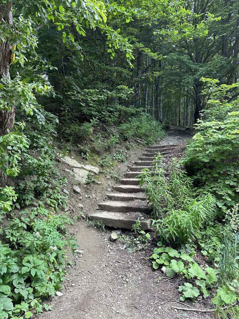
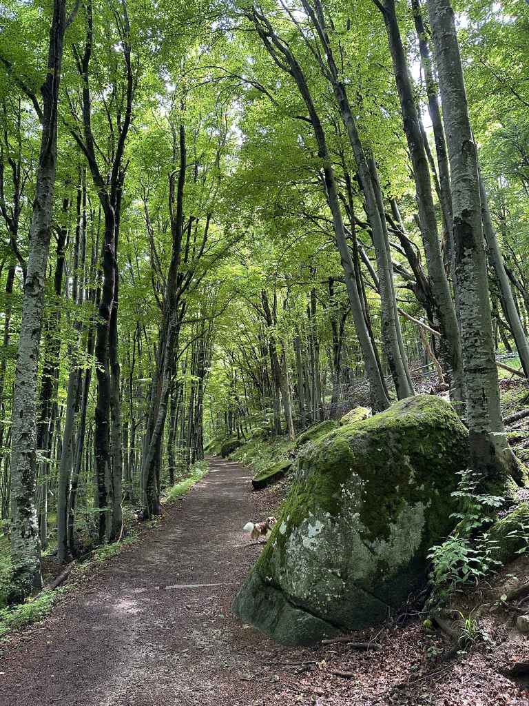
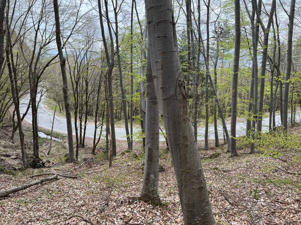
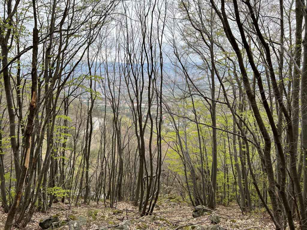
The path climbing through beech and birch forest. 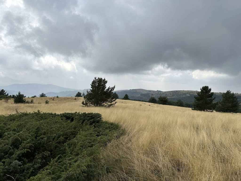
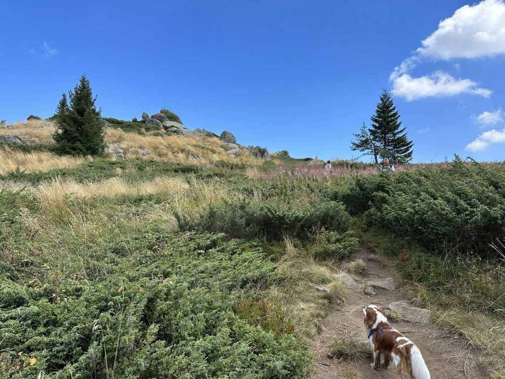
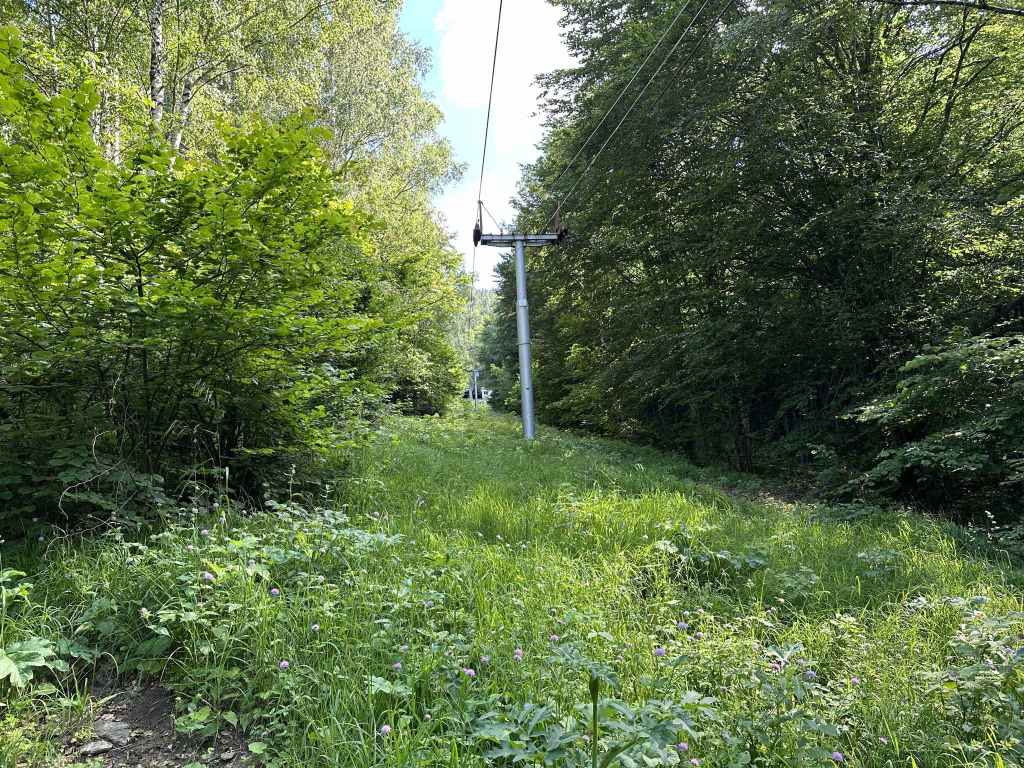
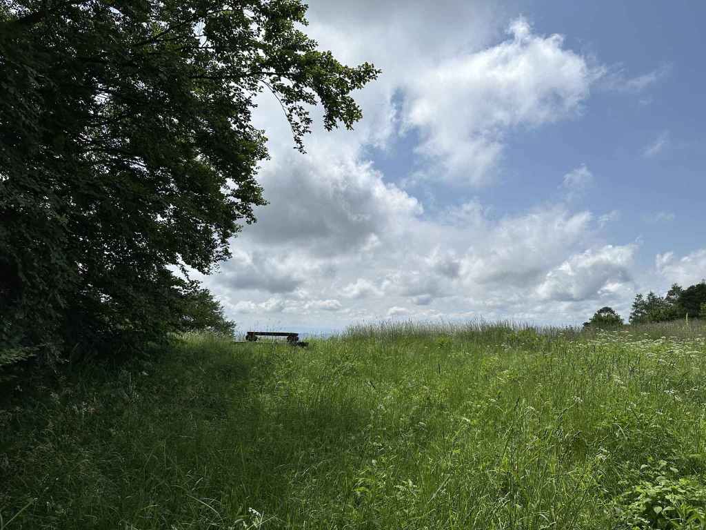
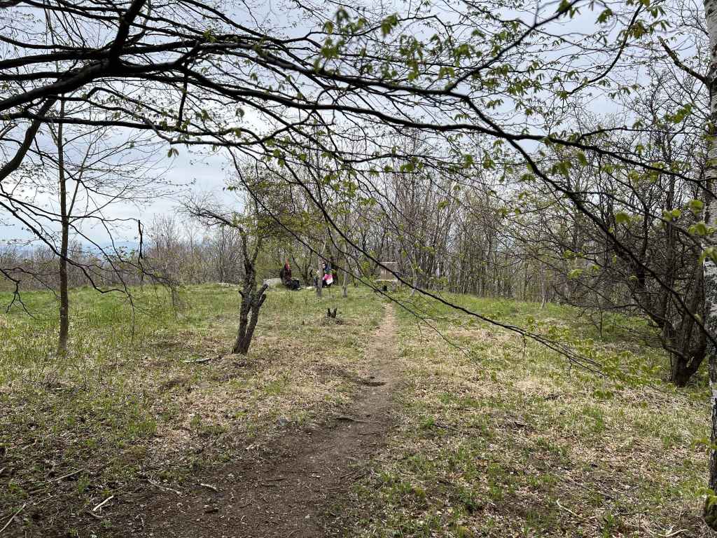
And emerging onto an open area of tall grass. 
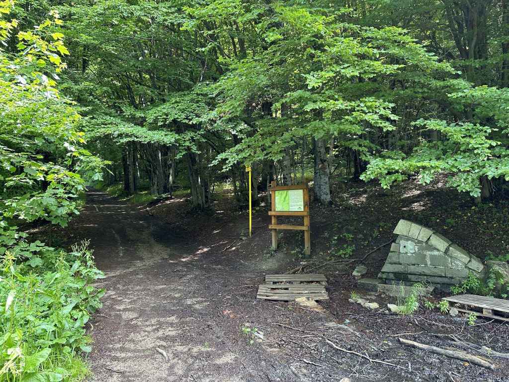
Be careful! The path divides, with the right branch going to Kladnitsa. You want the left branch. 
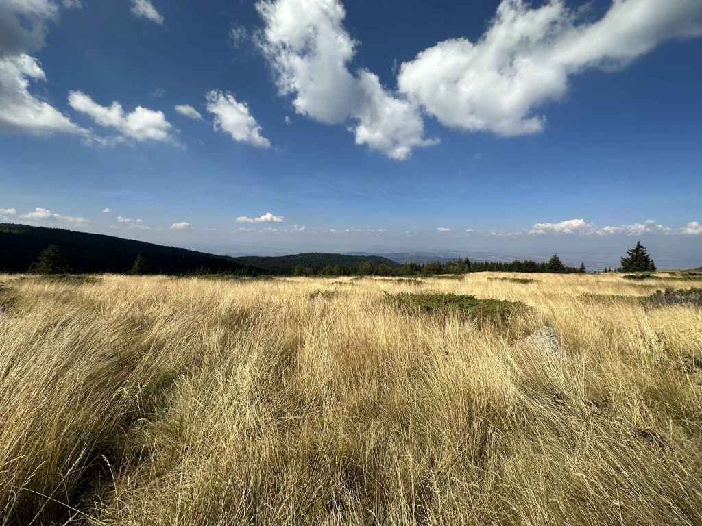
A tree in the grass. 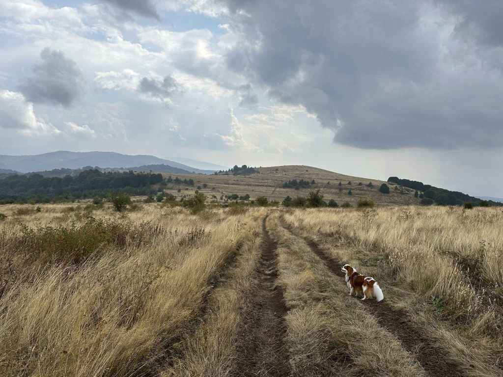
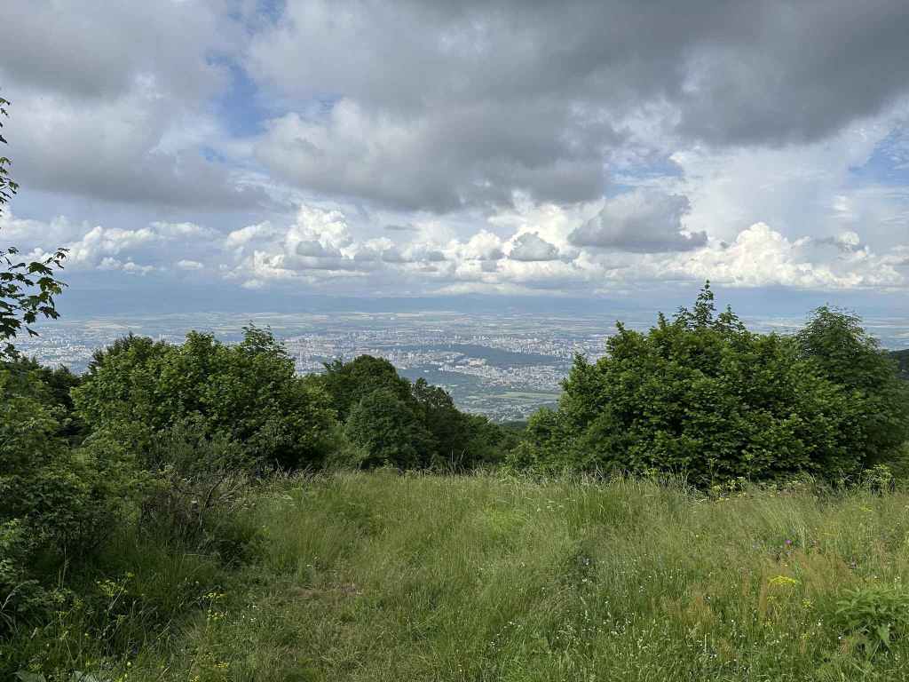
The path heads south towards a hill, behind which is Bosnek. 
A wild deer. 
Before the hill, go left (at post 11 or 12, it doesn’t matter). 
The view back towards the summit. 
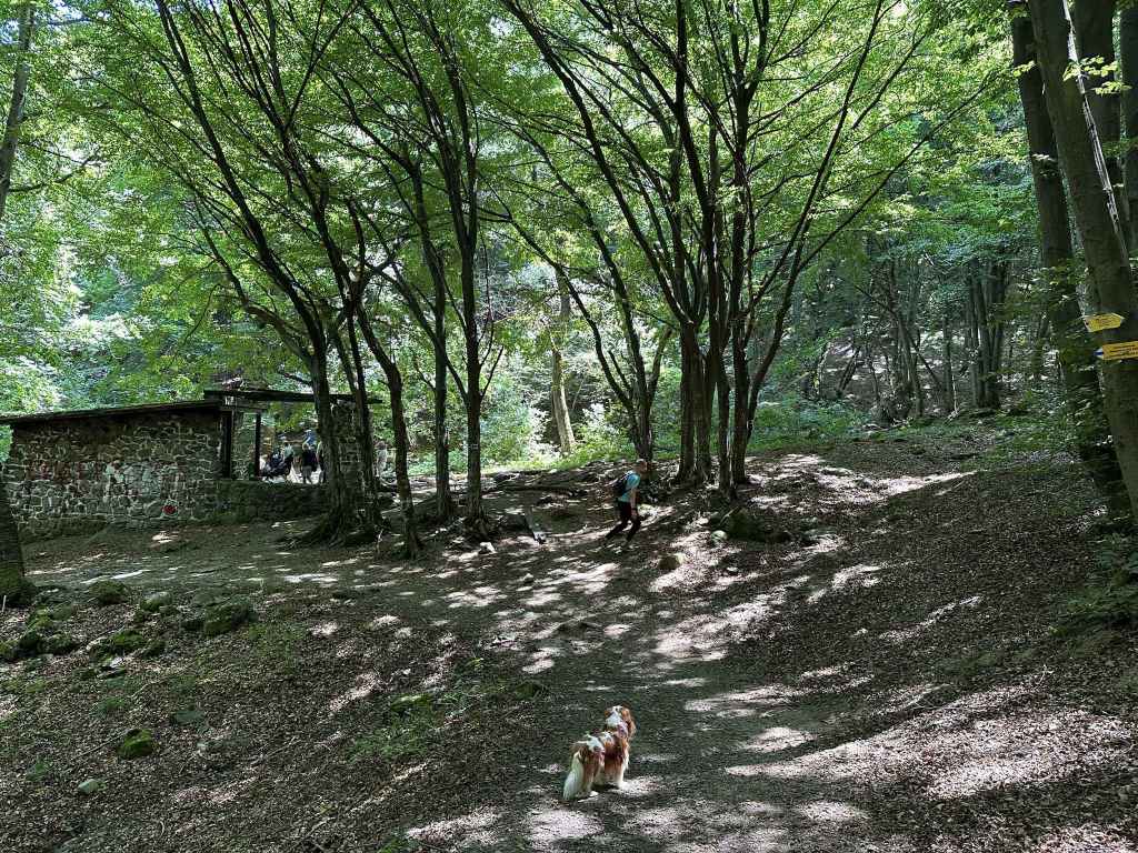
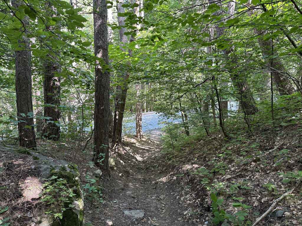
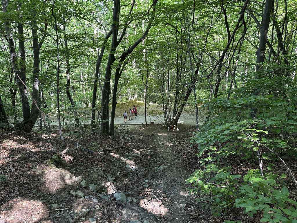
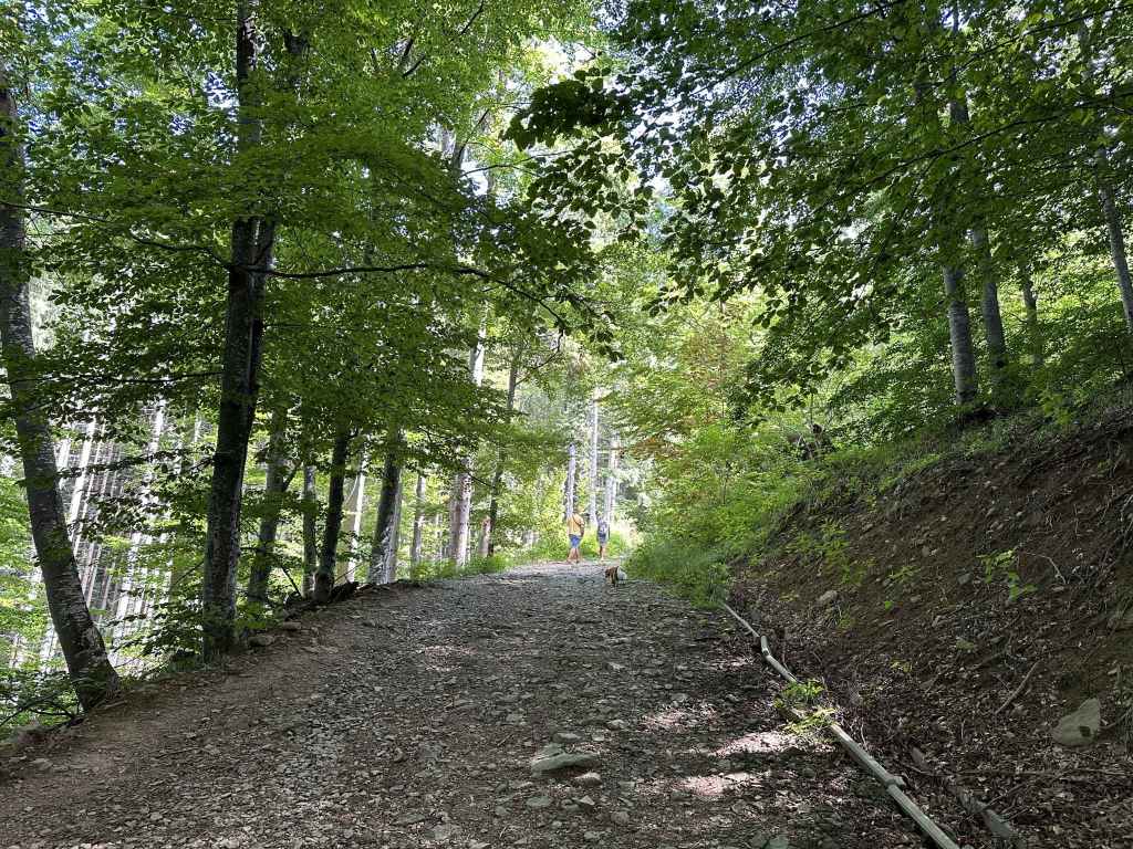
The path descends back into the village. 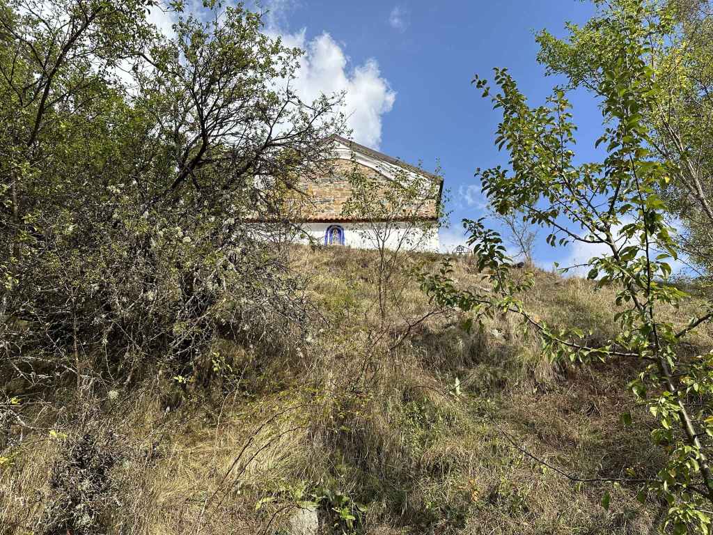
And passes the Church of St Petka. 
In a couple of minutes, a turning on the left takes you back to the square where you started.
Chuypetlovo is the first village on the course of the river Struma as it heads south from its source at the peak, Cherni Vrah, to flow into the Aegean in northern Greece. This alone makes it very special. It also offers wonderful views of the summit, but from the other side – the south side of the mountain. Conversely, this means that this little village can be seen from the summit if you head to the rocks a little south of Cherni Vrah hut.
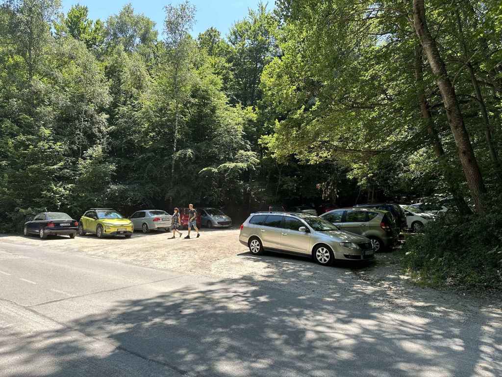
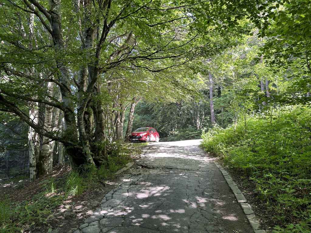
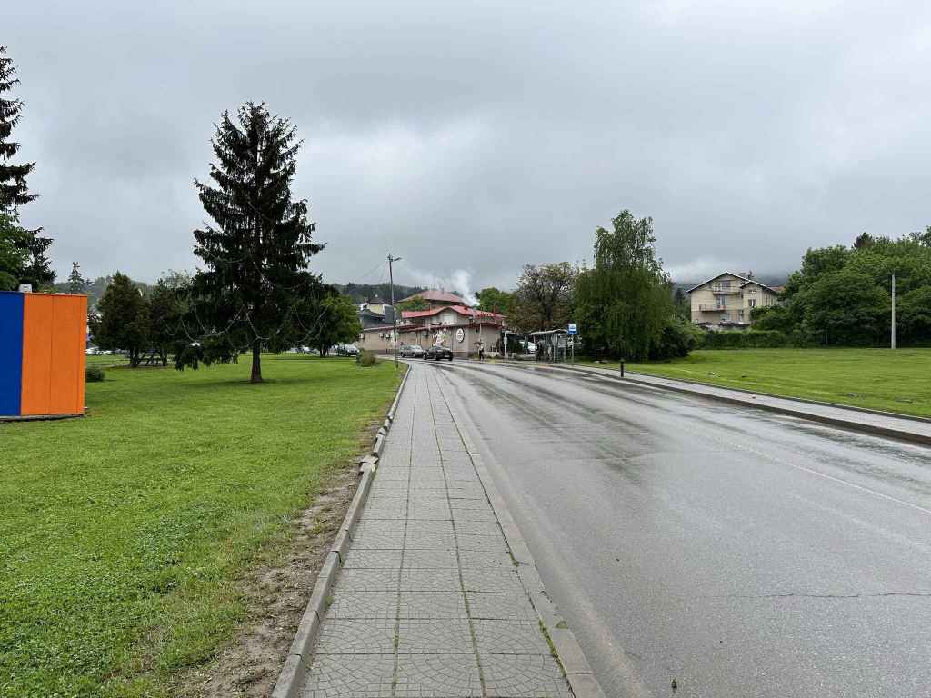
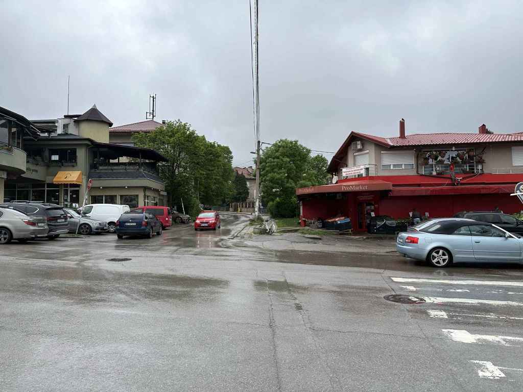
The only way to get to Chuypetlovo, really, is by car. It takes about an hour from Sofia, and the distance is about fifty kilometres. You take the road from Sofia to Pernik. When you reach the large roundabout before Pernik, go left on the A3 motorway in the direction of Greece (Kulata). You travel south on the motorway for twelve kilometres, going past Studena. You then turn off the motorway at the sign for Bosnek (the village before Chuypetlovo), go under the motorway, turn left and follow this road for another thirteen kilometres. As you go through Bosnek, there is a dink in the road – it veers left and then right – but as long as you stay on this road, you won’t get lost. 300 metres after the sign for Chuypetlovo, the road ends at a green building and a fountain. Park the car here.
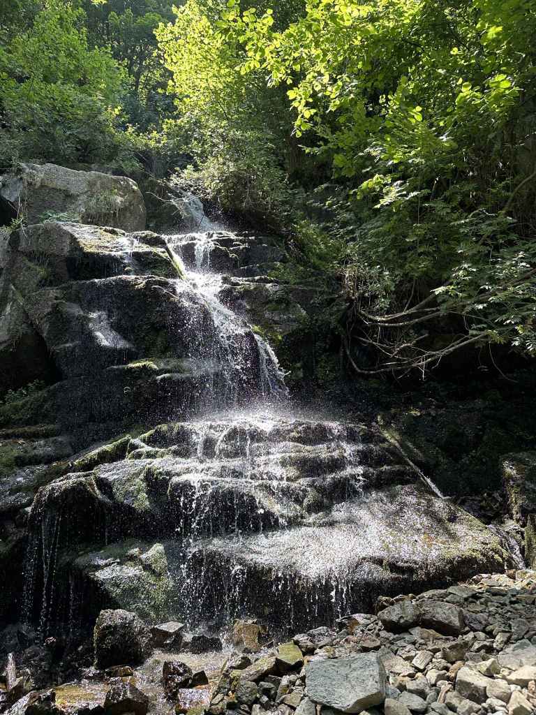
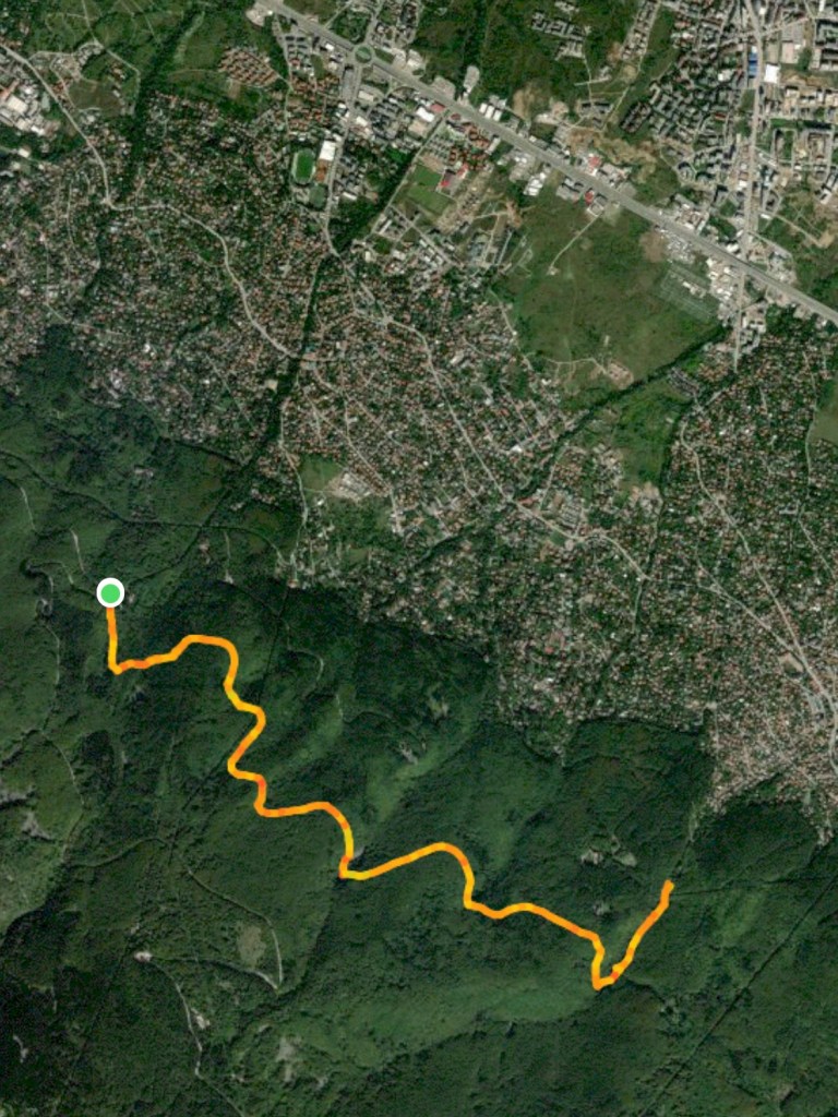
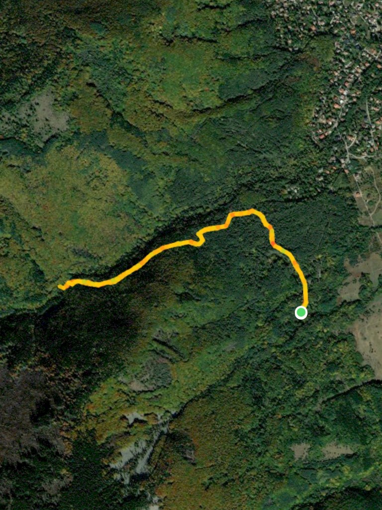
You are now going to walk up the east side of the river Struma and return to the village along the west side, so you want to take the shared trail to the left of the green building, a sort of continuation of the road you were on, but now a dirt track signposted for Chuypetlovo 1 and Kladnitsa. Follow this trail out of the village, with the river on your left (even if you can’t see it, the river should be on your left). In ten minutes, you will leave the village through trees, and in another ten minutes you will come out into the open, with moraines scattered to the left of the path. Keep heading north basically, and in another twenty minutes you will reach a bridge over the Struma. This is a perfect place to have a picnic and to enjoy the river’s company since you’re not going to see much more of it until you come back into the village.
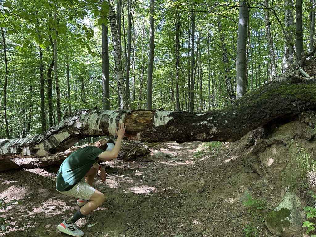
Having taken your rest, cross the bridge. The path continues on your left and then heads north as it climbs. After twenty minutes of walking through forest, you come out onto an open area of tall grass with fantastic views towards the summit on your right and a succession of lower hills on your left. After ten minutes, a path joins from the right and then leaves on the left. You can ignore it. After another five minutes, the path you are on divides (there is a sign “Chuypetlovo Village Horse ride” pointing back the way you came). You must be careful here because if you go right (north-west), you will end up in the village of Kladnitsa. Go left (south-west).
After ten minutes, a path goes over the hill on your right. Ignore it. At the black and yellow post 4, a path joins from the right. Just before post 6, a path diverges on the right. Ignore these turnings. Five minutes after post 6, a path diverges on the left. Keep going right, that is due south, and in ten minutes a hill will appear in front of you. The path you are on goes over this hill, in the direction of Bosnek. You must take the path on your left to return to Chuypetlovo, that is at post 11 or 12 (it doesn’t matter which, 11 is a shortcut, 12 is a right angle), towards the trees to the left of the hill. You should now be heading south-east.
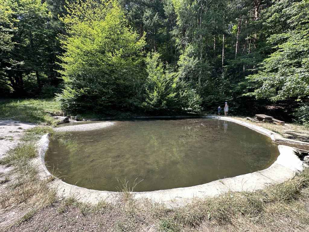
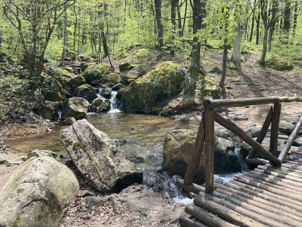
This path offers wonderful views of the summit and the radar station on top (which looks like a golf ball). After twenty minutes, it begins to descend and soon enters forest. Another ten minutes, and you are back in the village. You pass the Church of St Petka on a rise to the left of the path and then cross the Struma once again. Immediately after this crossing, there is a sign for Yarlovo and Bosnek going straight. Turn left here, and in no time at all you will be back at the square where you started.
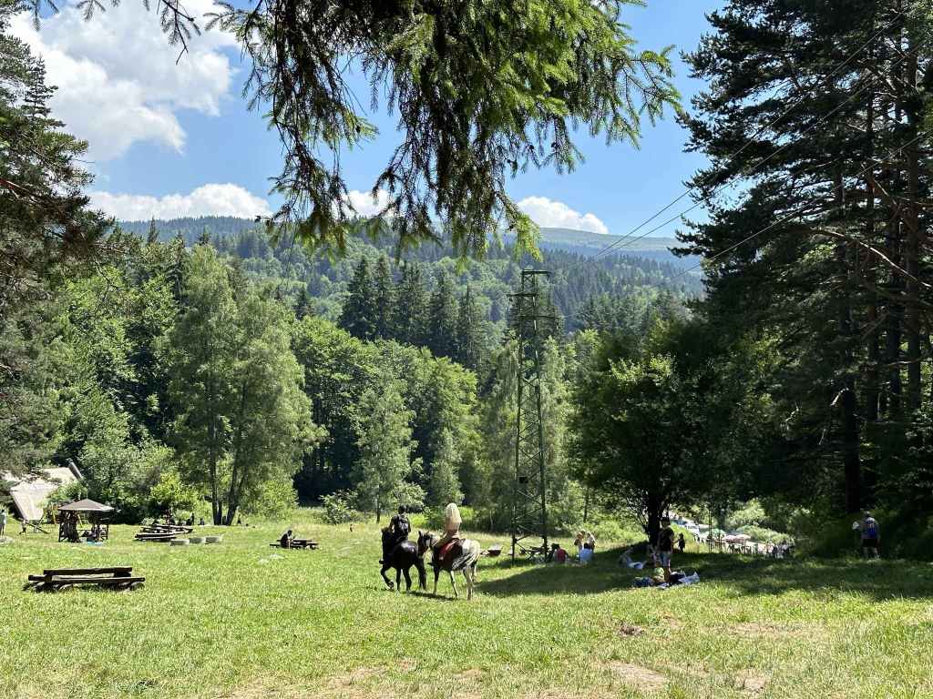
This walk offers a valuable opportunity to see the Struma in its infancy. It also gives you a different perspective on the mountain (in particular, Cherni Vrah, the summit). These two factors, for me, make it one of the nicest walks on the mountain. We even saw a wild deer, and that has only happened to me on the mountain twice in twenty years (the other time was at Kominite)!