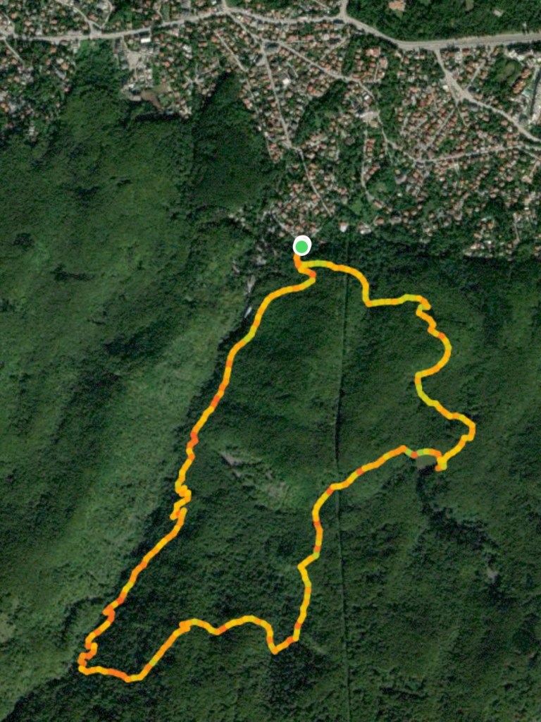
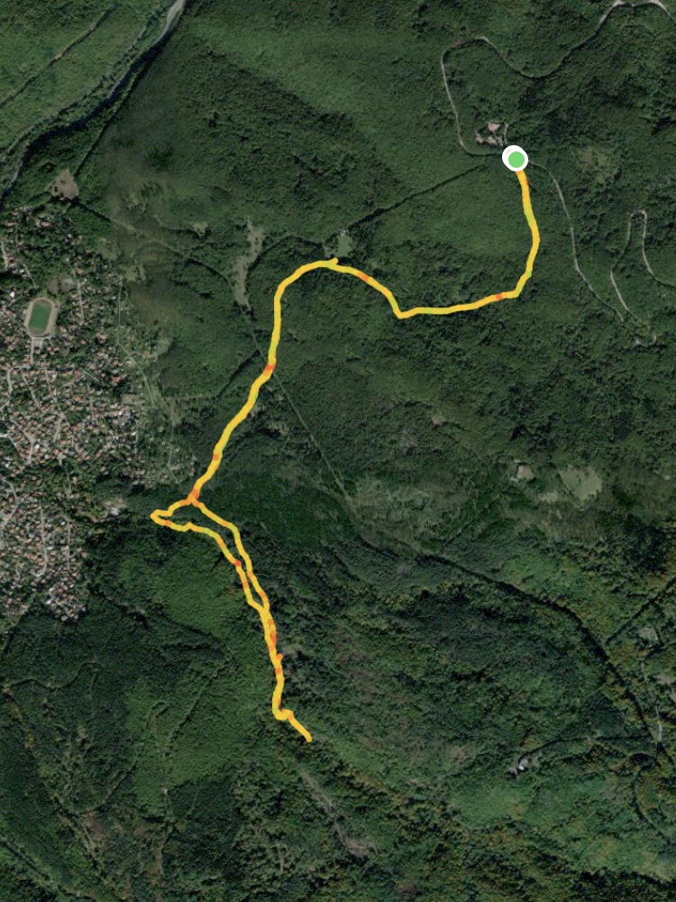
Starting Coordinates: 42.64278, 23.26402
Distance: 6.9 km
Elevation Gain: 490 m
Time: 3¼ hours
Difficulty: moderate-hard
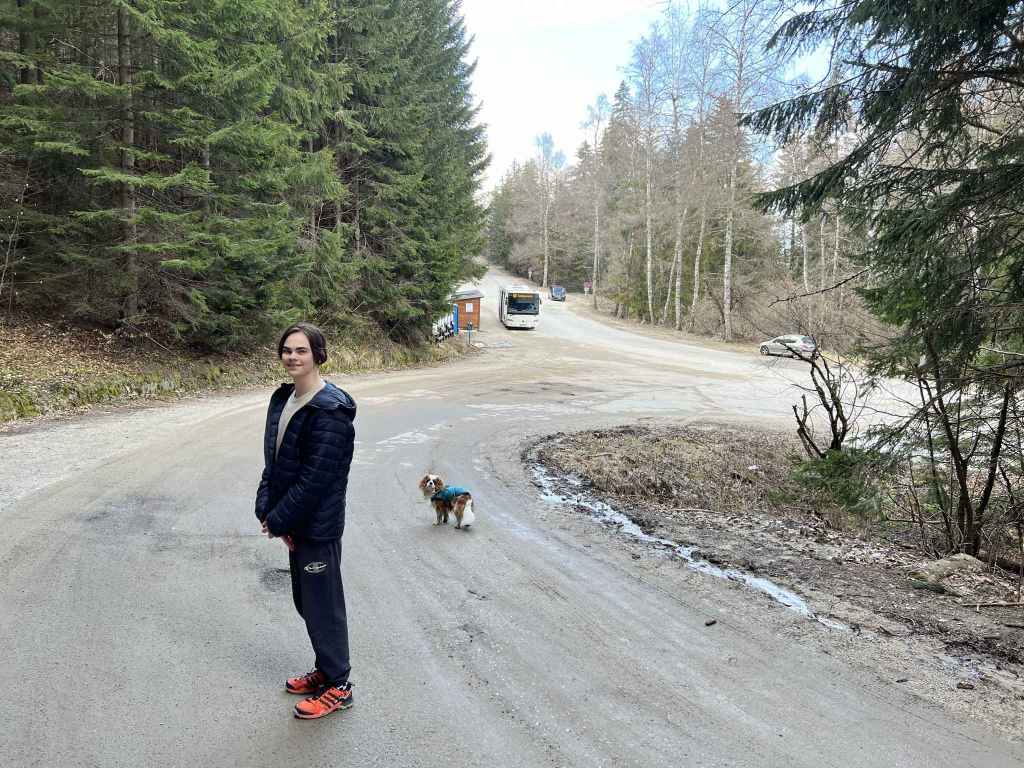
Transport: by car, or by bus no. 64 and 107 to Boyana Village
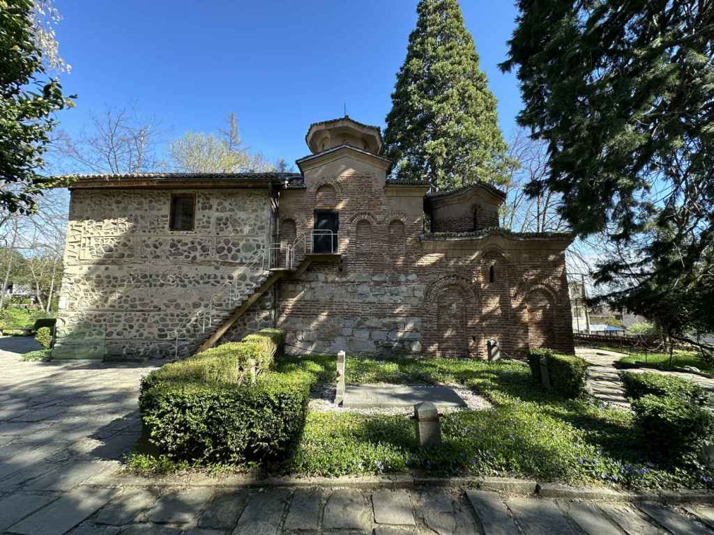
Boyana Church, very near the start of the walk. 
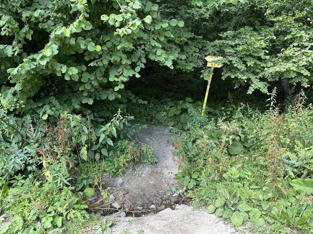
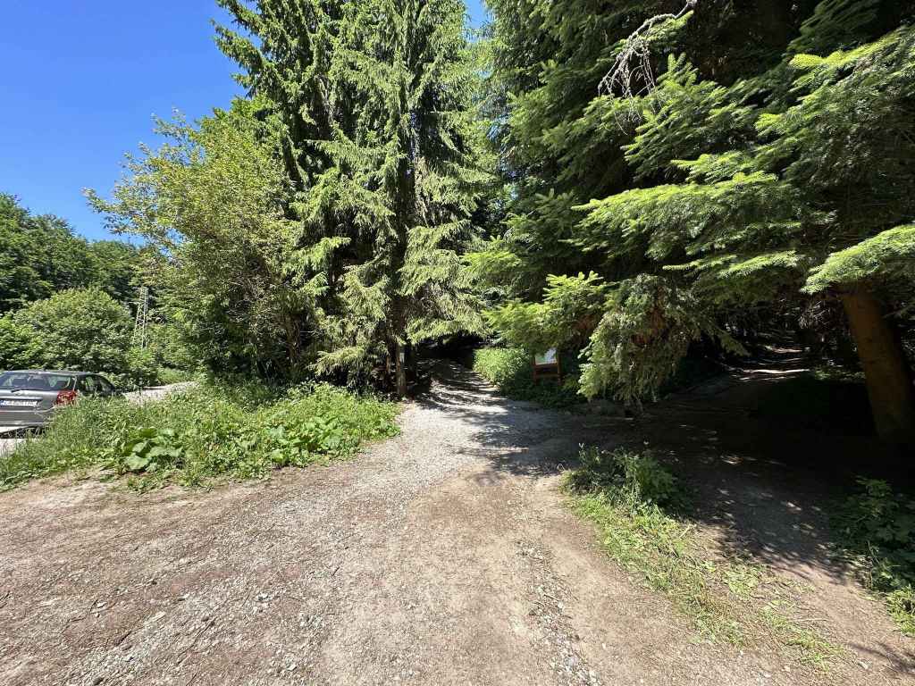
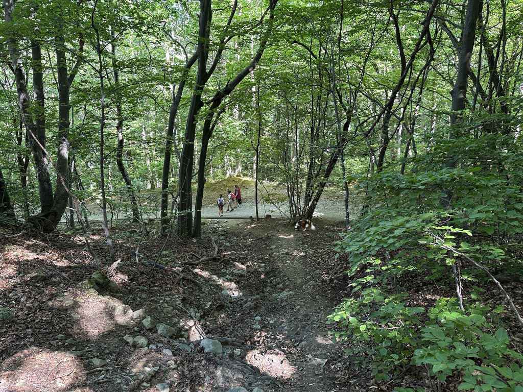
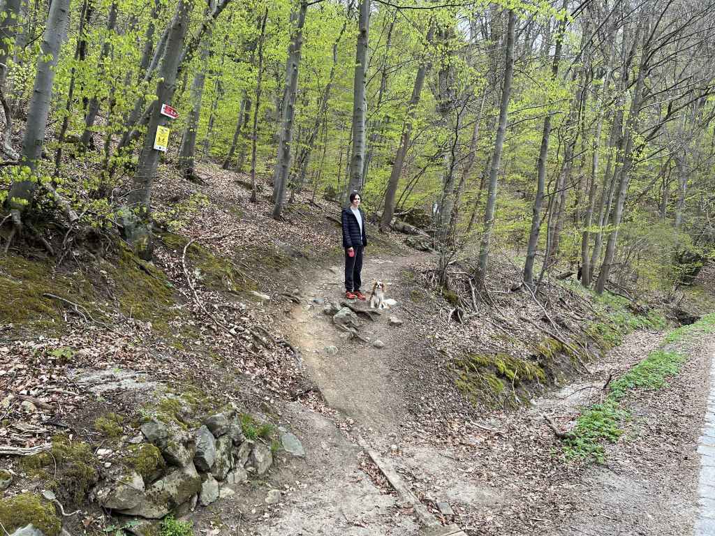
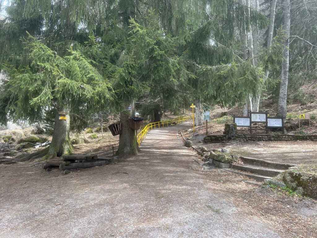
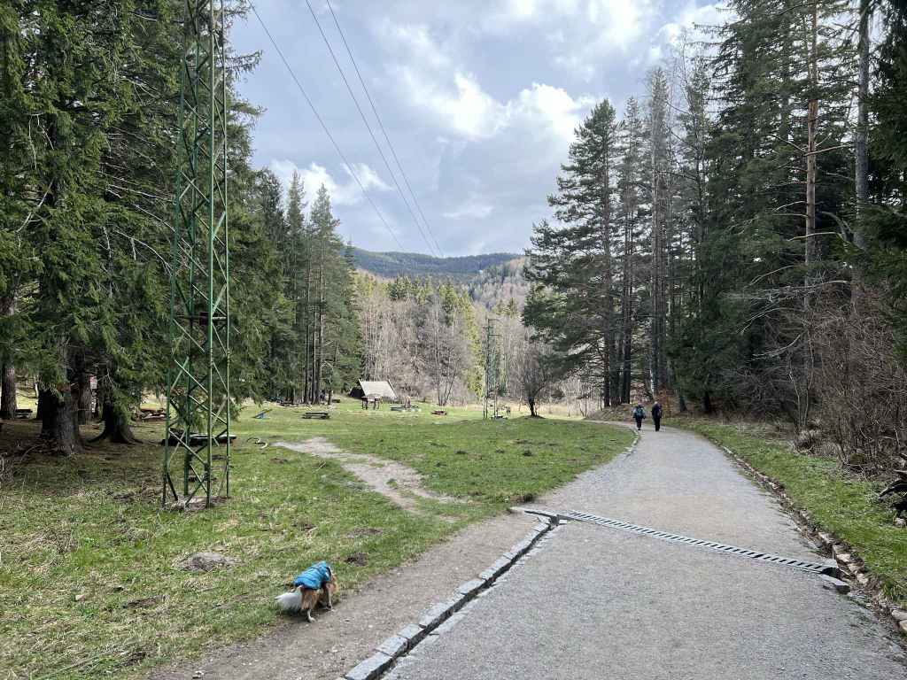
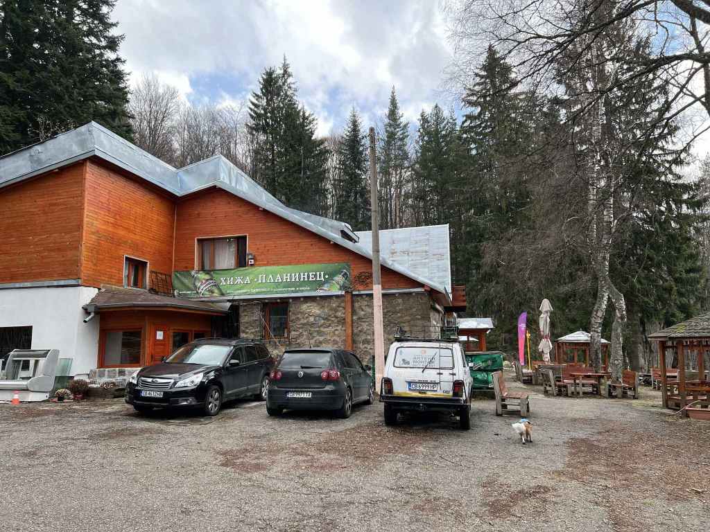
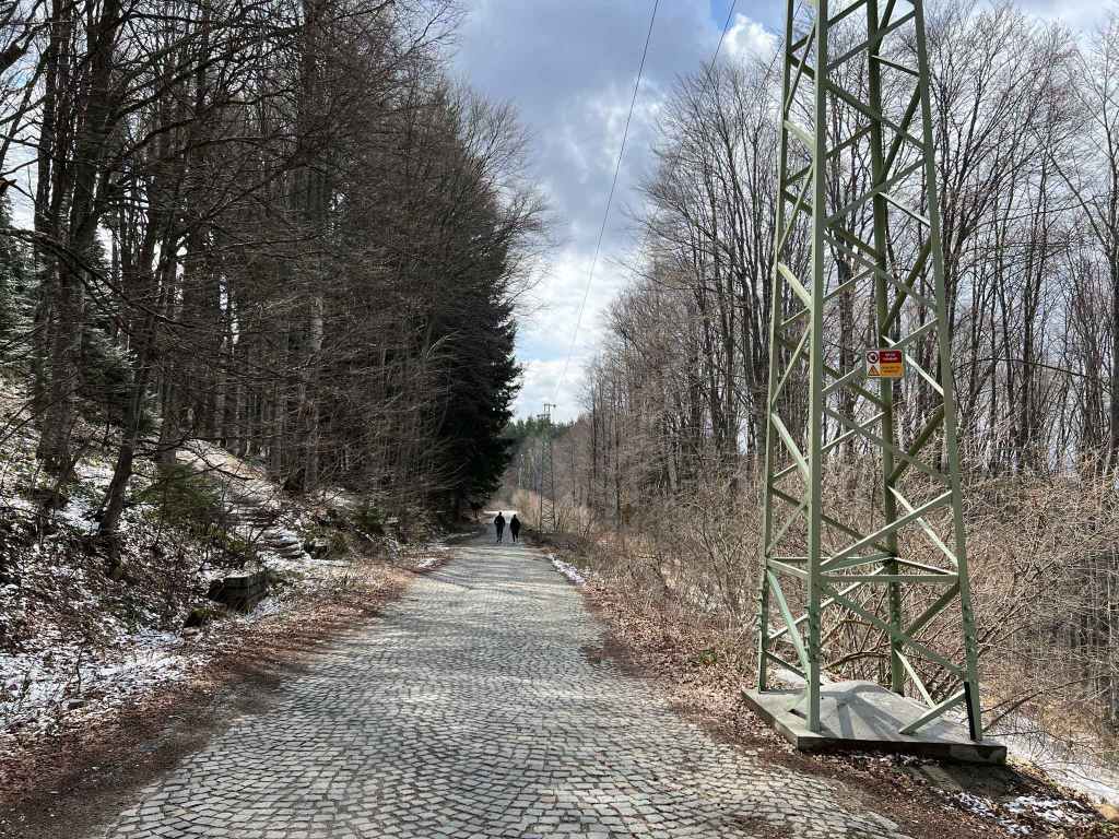
The entrance to Vitosha Nature Park from Boyana Village. 
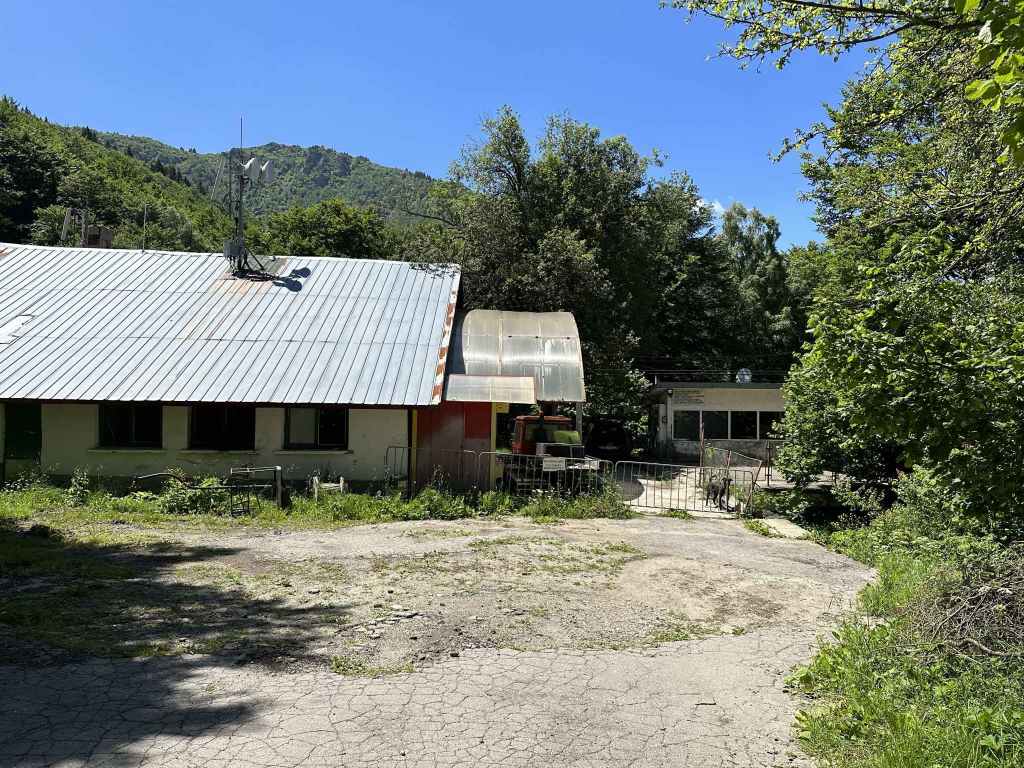
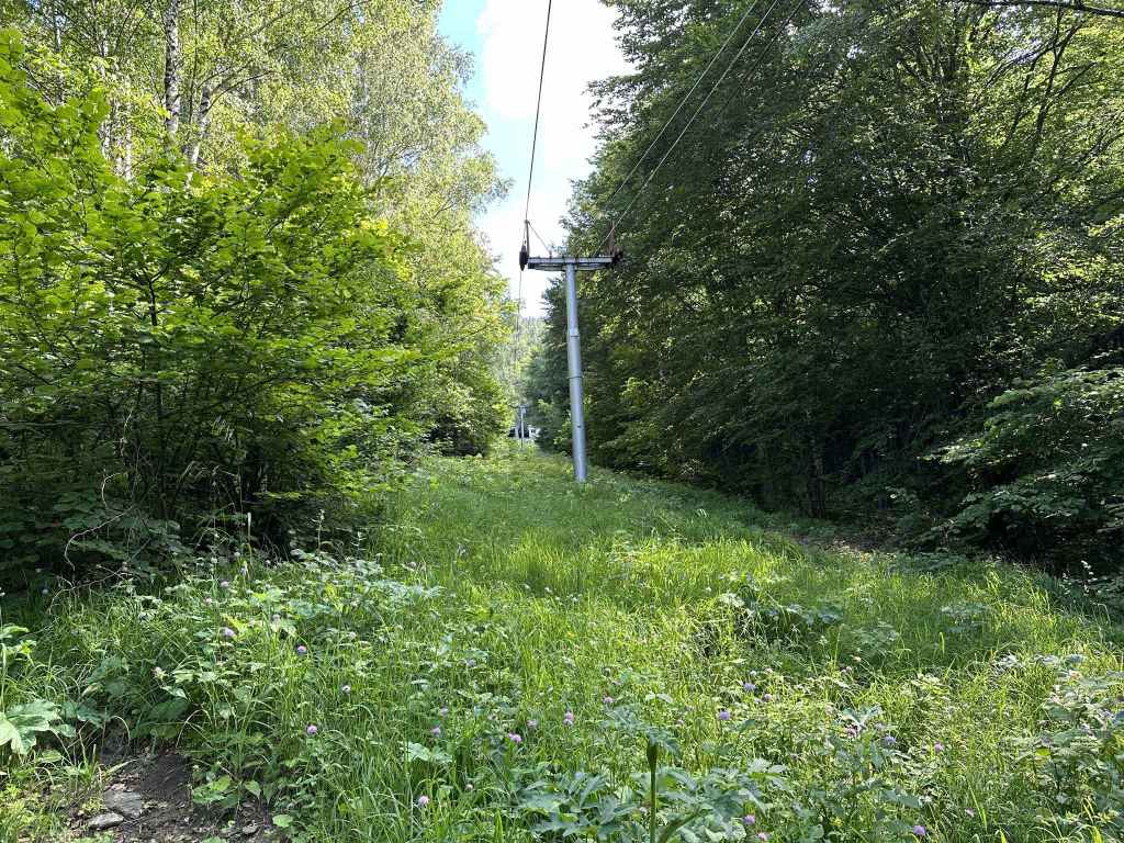
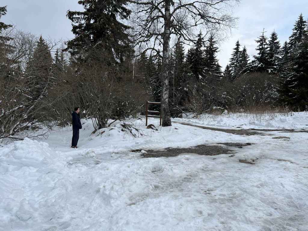
The military installation behind barbed wire. 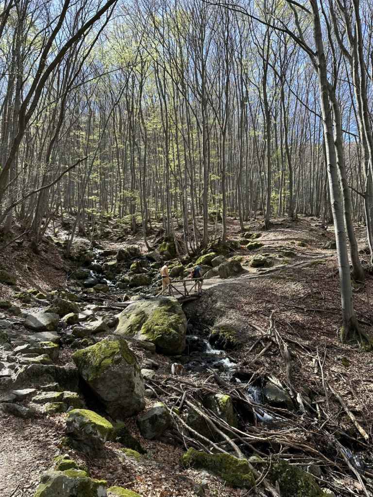
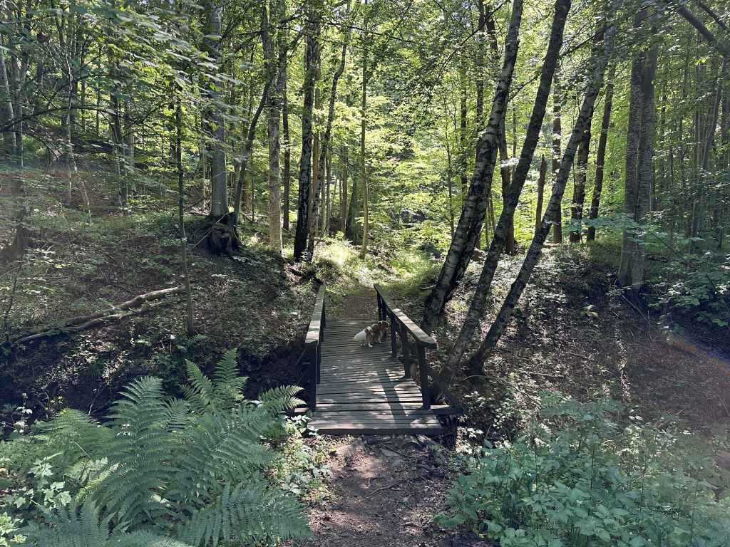
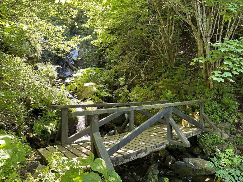
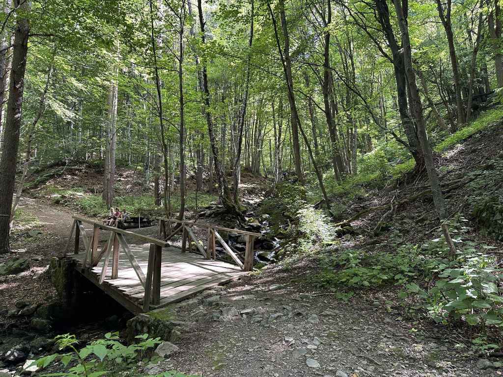
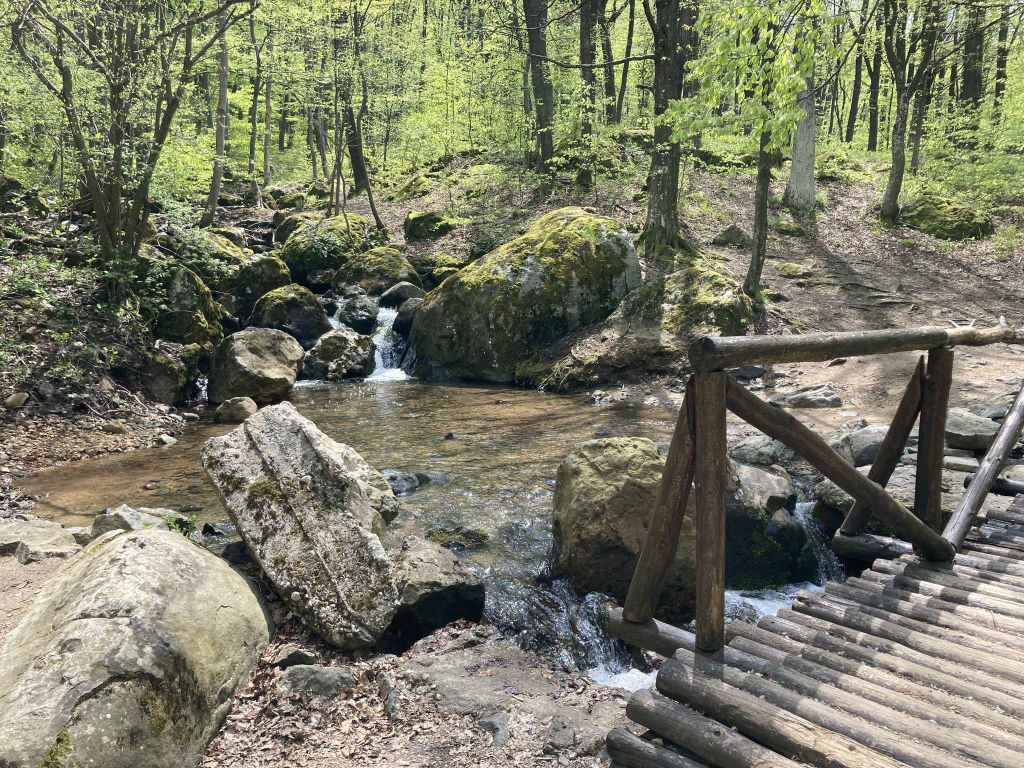
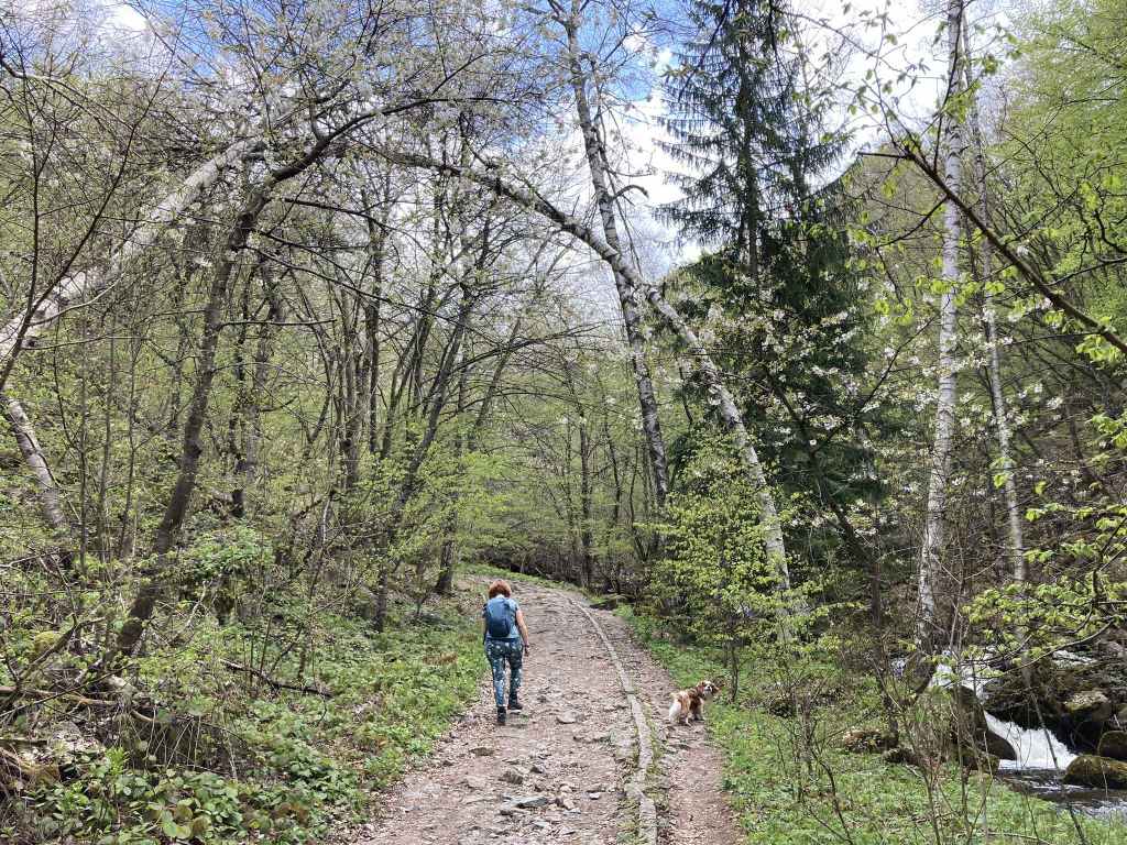
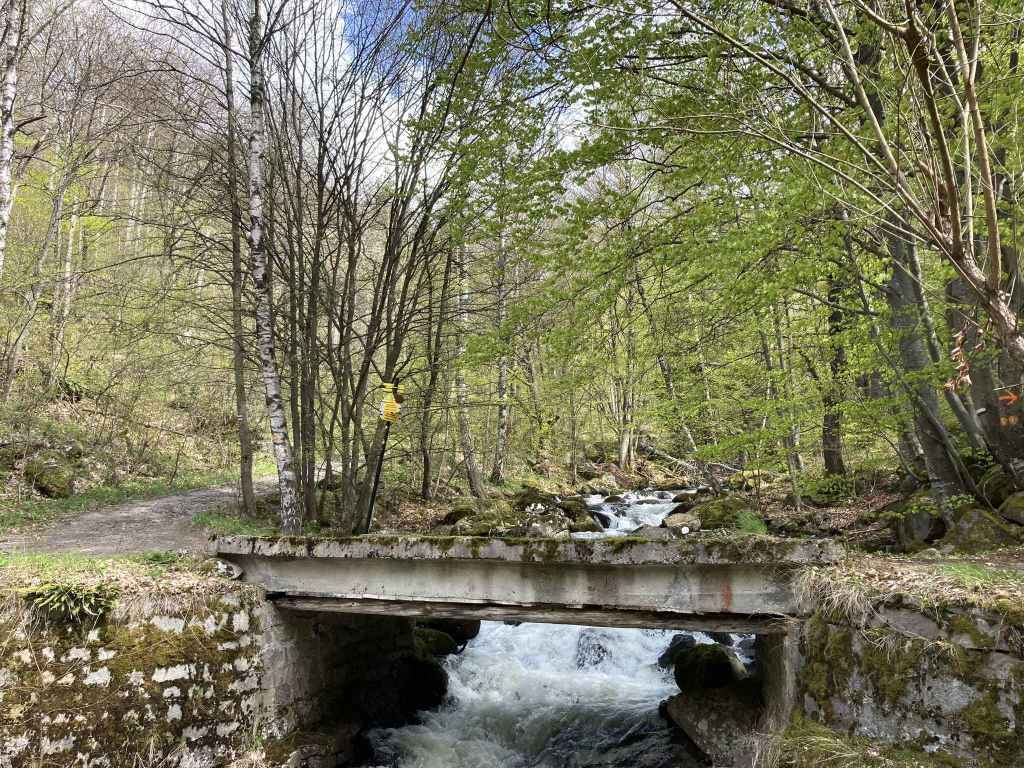
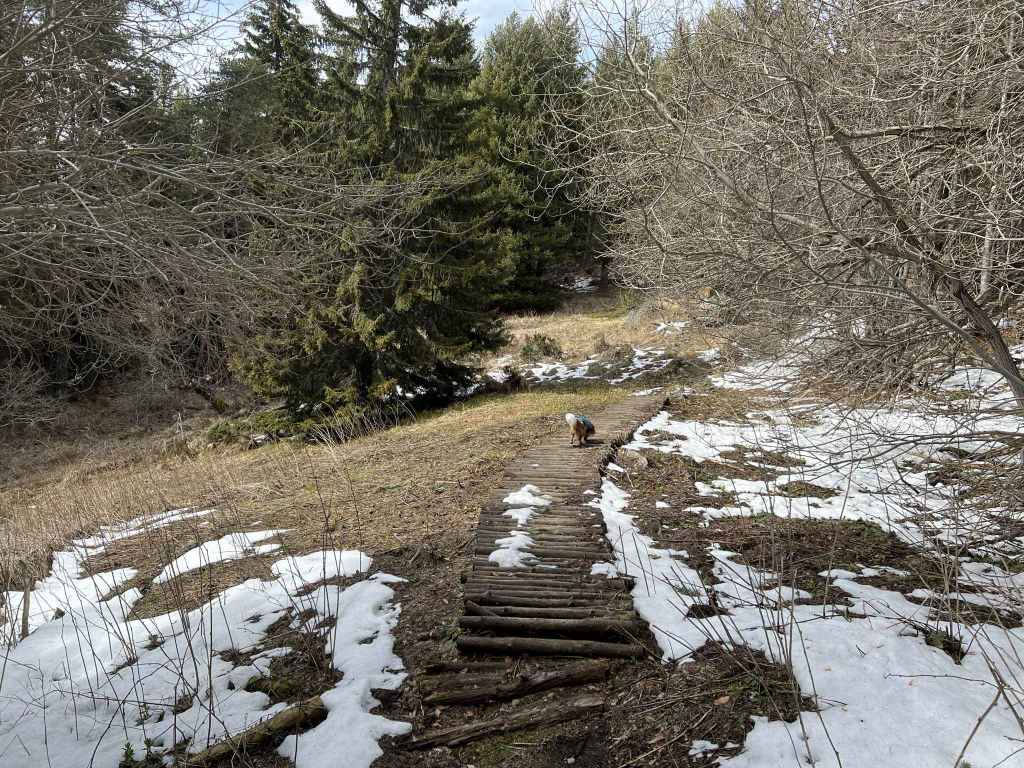
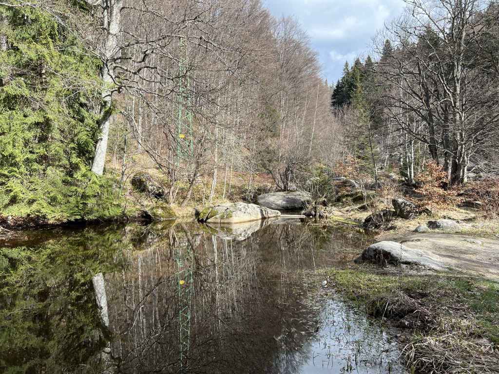
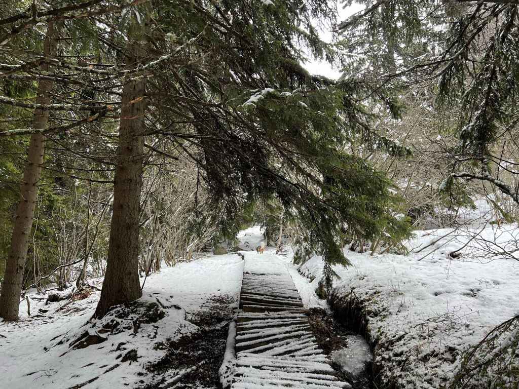
The bridge over a tributary. 
Boyana River, like a scarf caught in the trees. 
Boyana River, heading north from the waterfall to Sofia. 
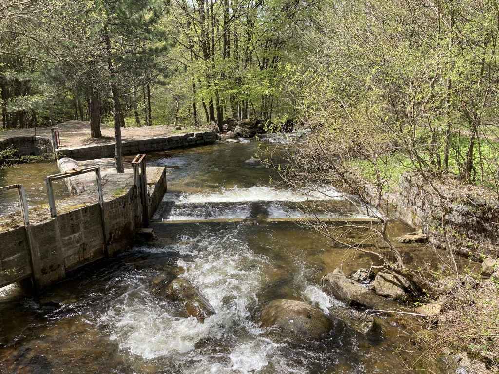
One of the mini-waterfalls before the waterfall proper. 
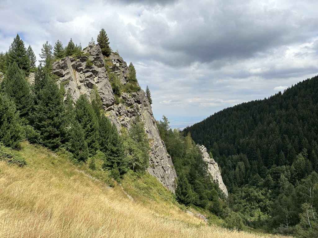
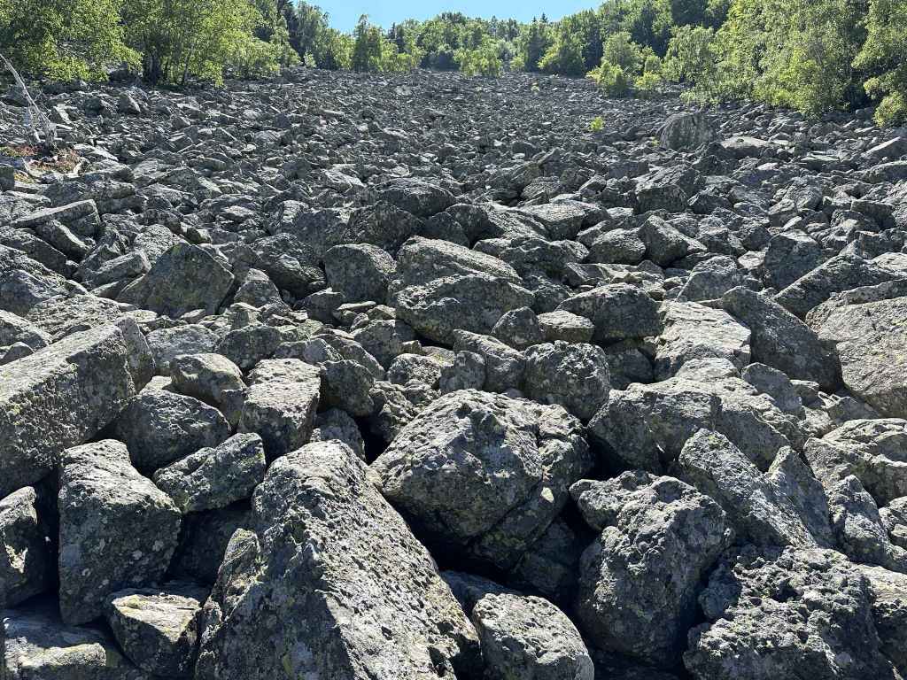
The approach to Boyana Waterfall. 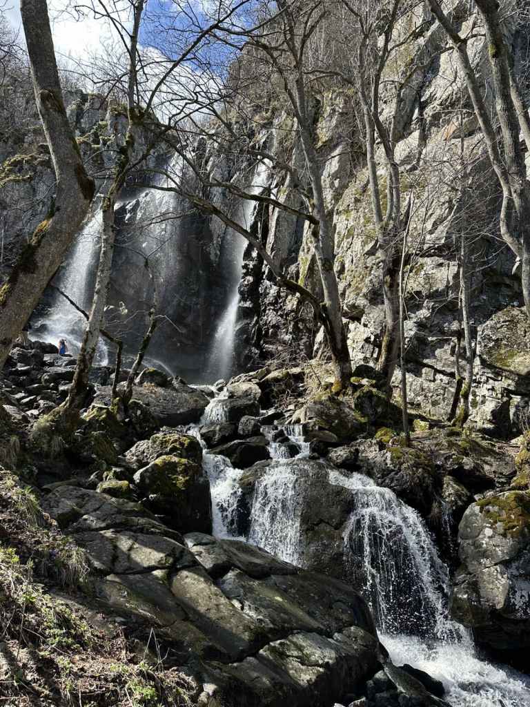
Arriving at Boyana Waterfall. 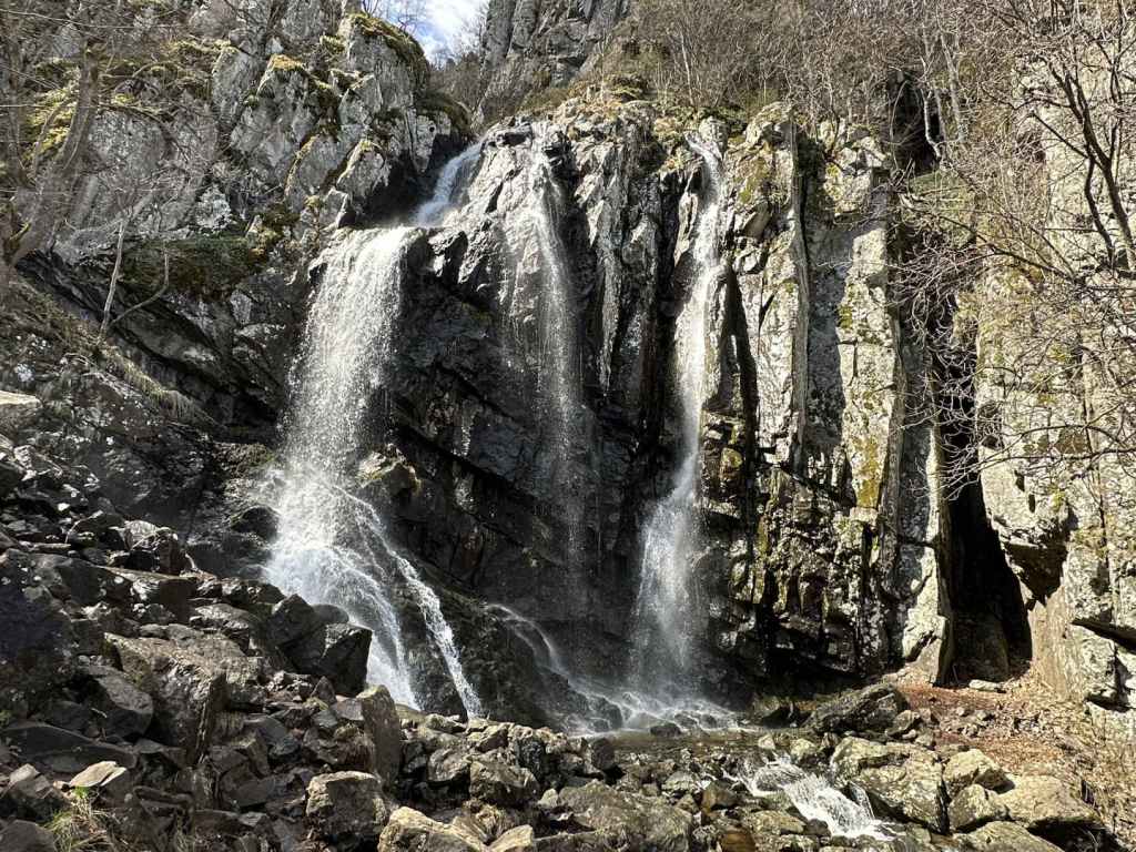
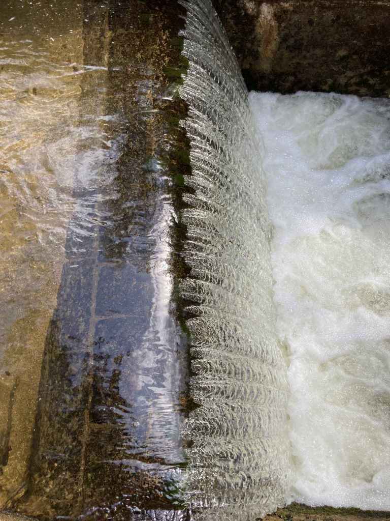
Boyana Waterfall (the Communion of the Apostles). 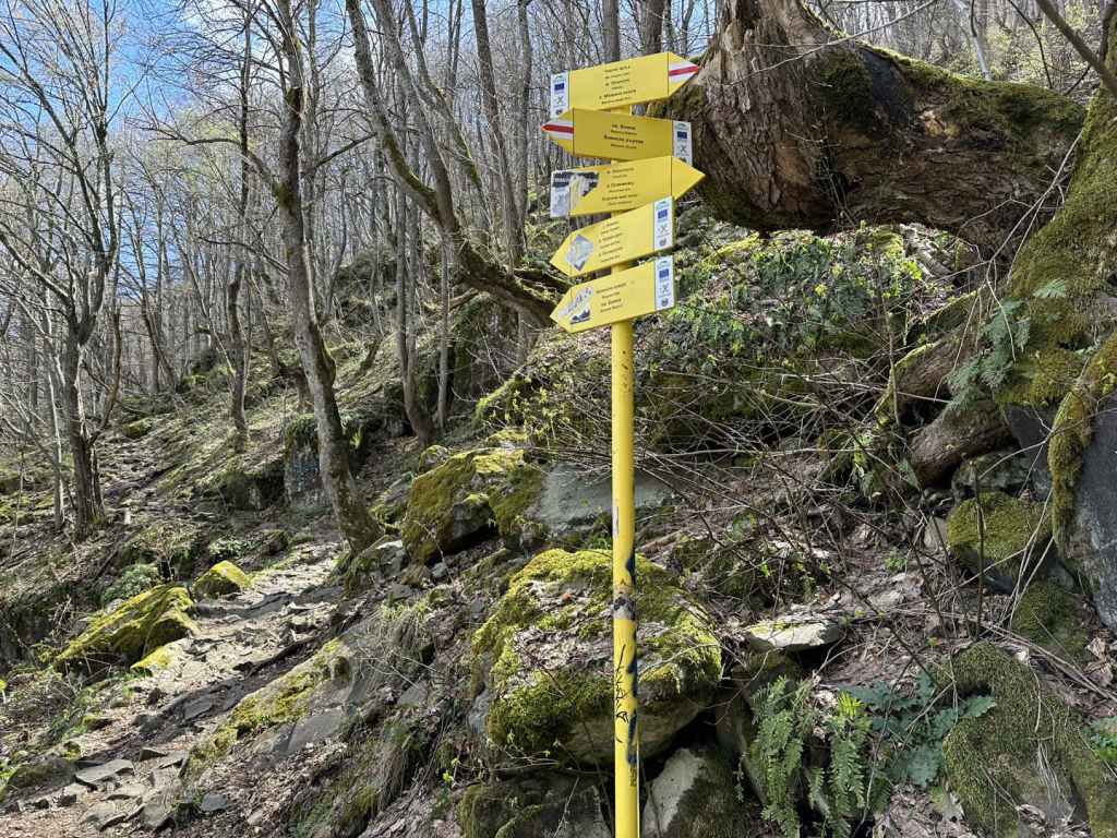
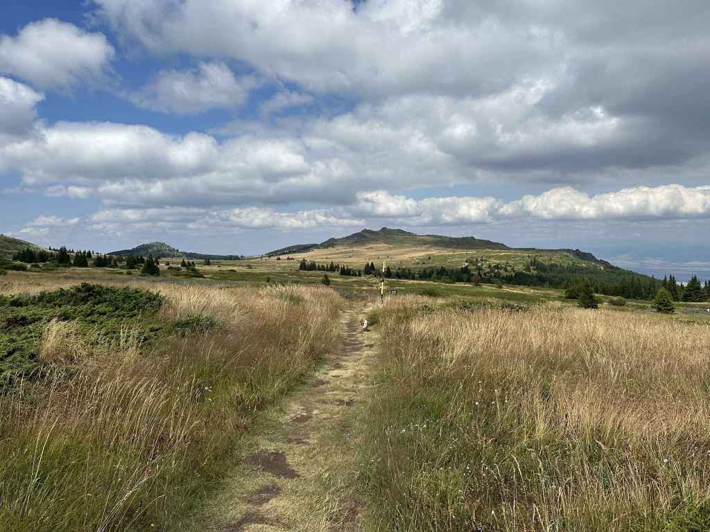
The path from Boyana Waterfall heading east to Boyana Lake. 
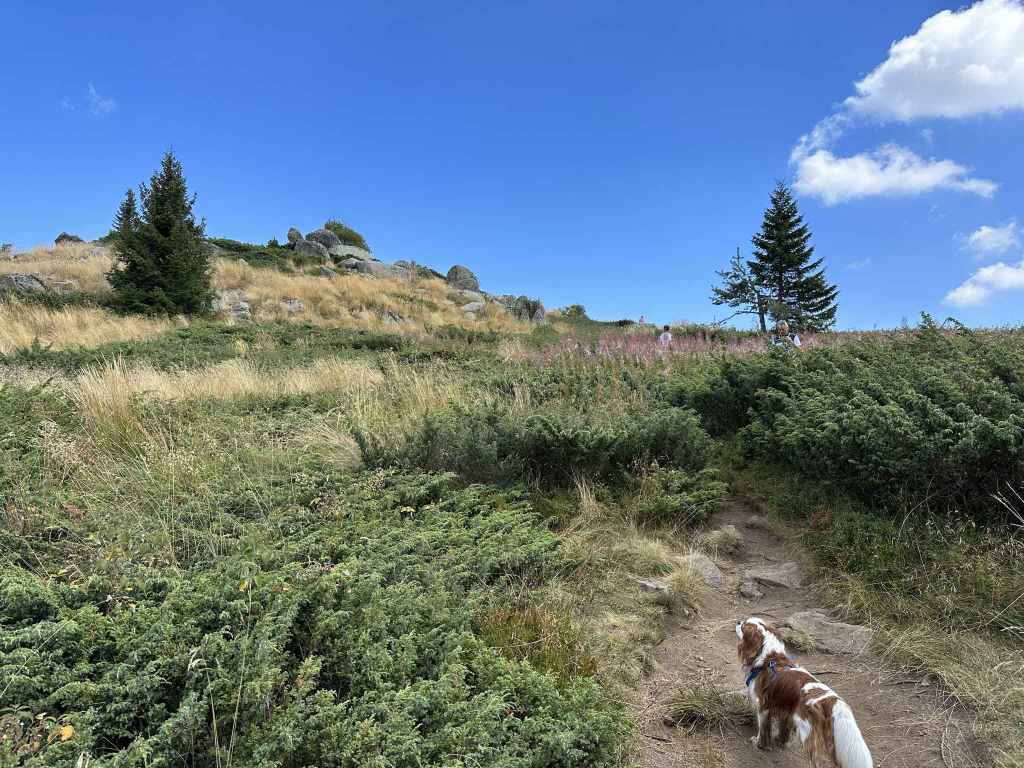
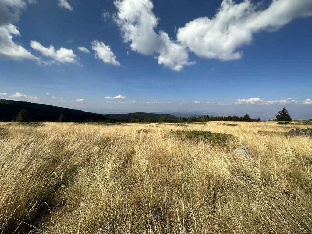
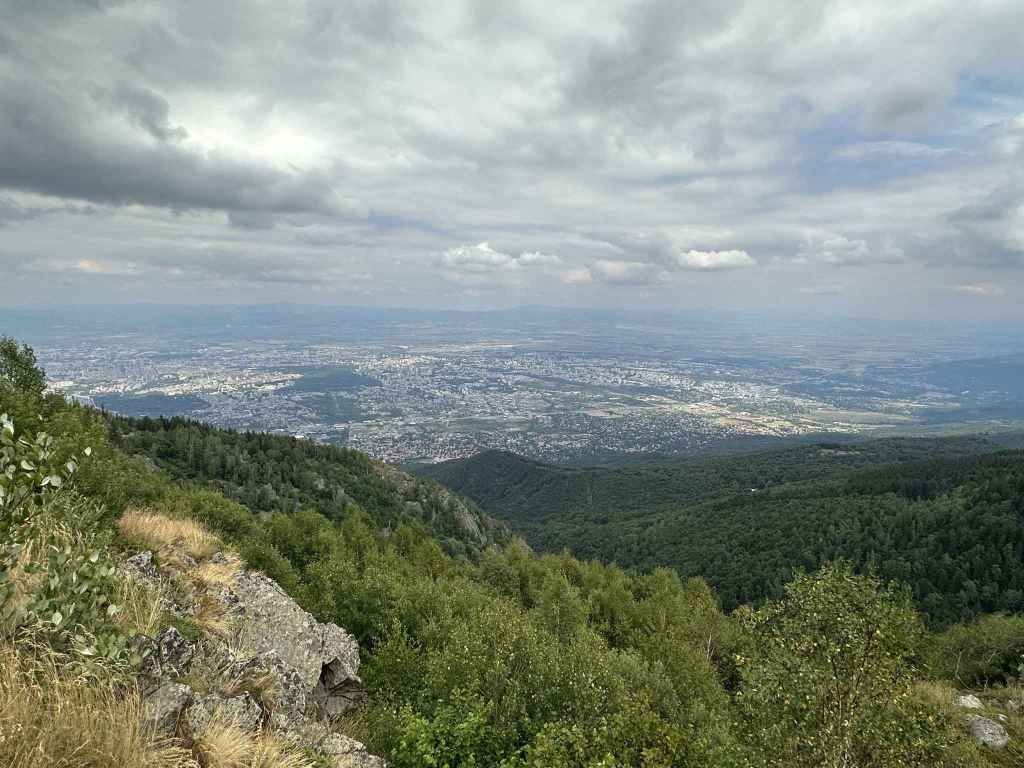
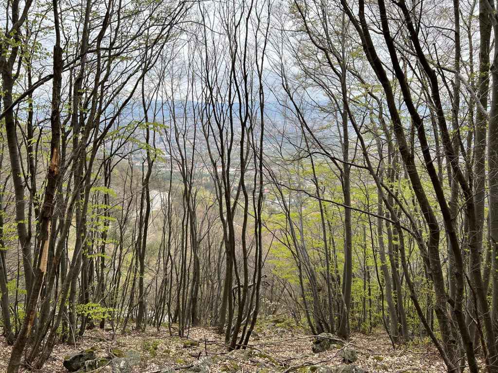
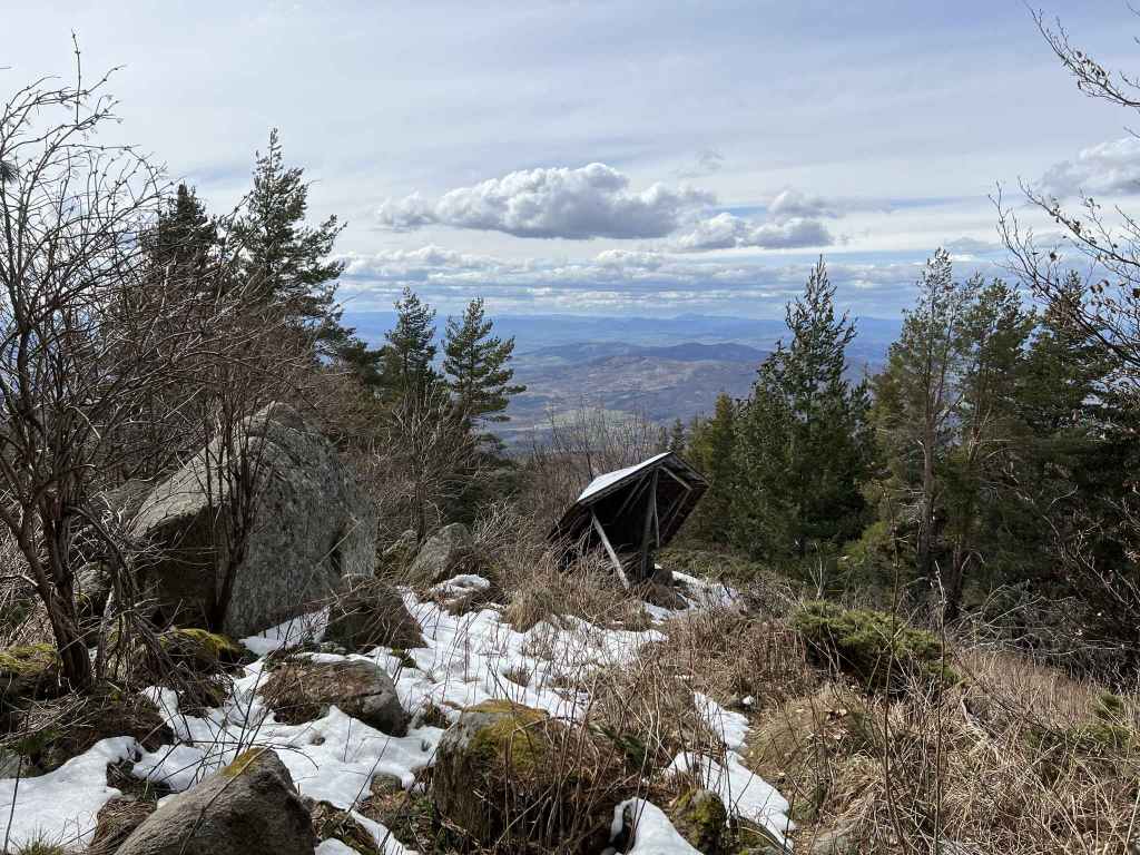
A view of Sofia. 
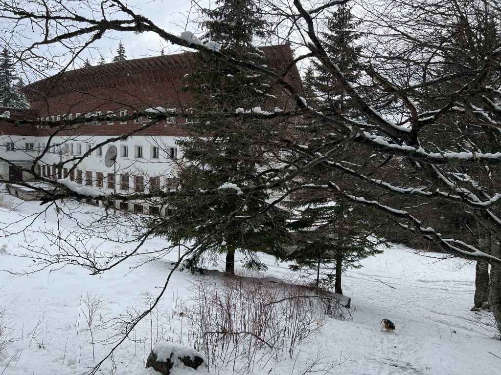
Kopitoto in the west. From the hotel, there is another, easier route to Boyana Waterfall. 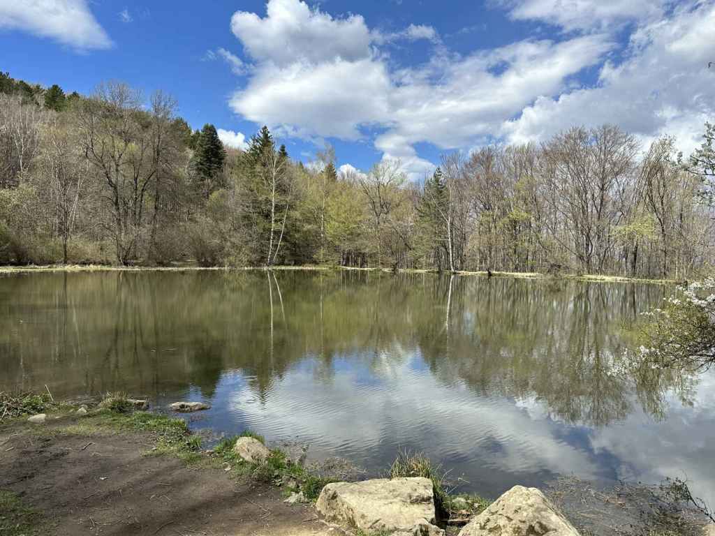
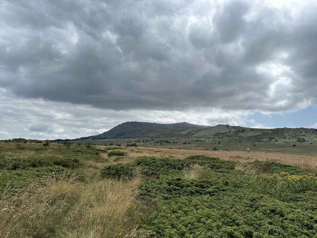
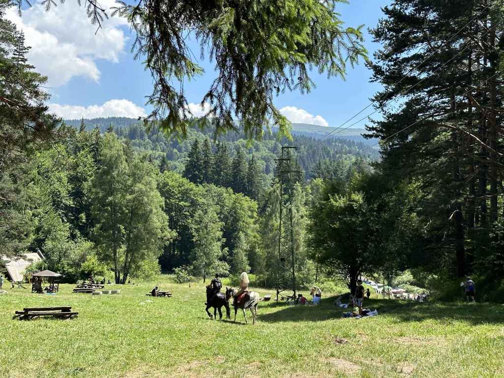
Boyana Lake. 
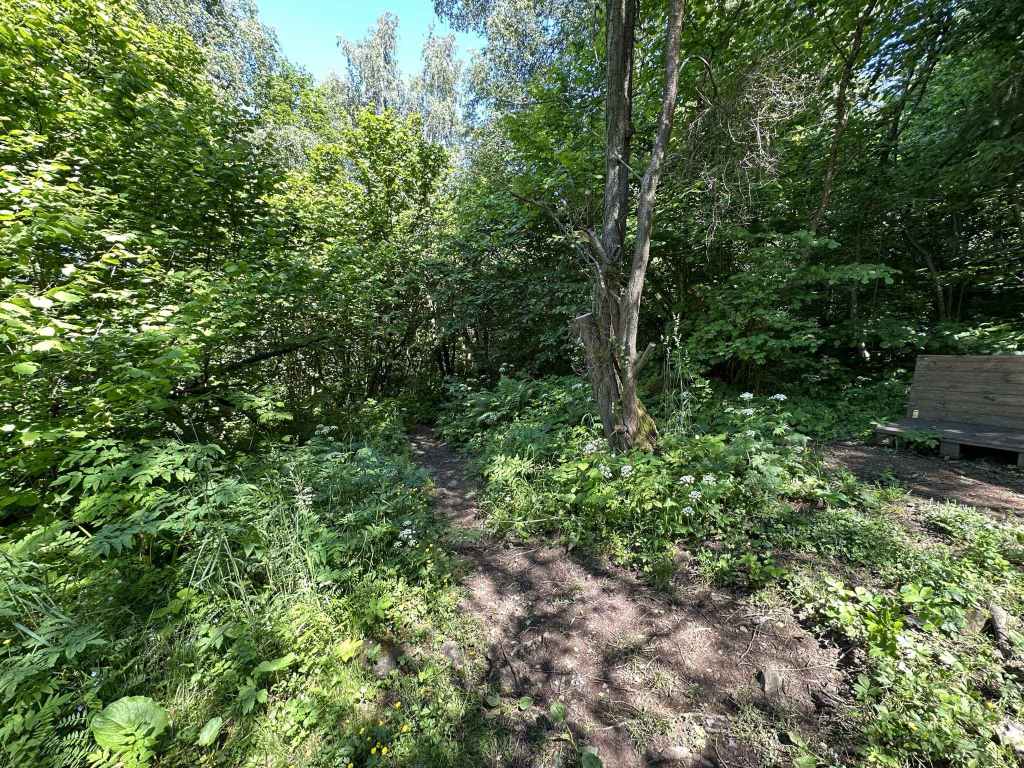
The path heading north from the lake, which brings you back to the starting point.
The start of this walk is very near the famous Boyana Church, one of the principal tourist attractions in Sofia, a World Heritage Site with medieval frescoes dating from 1259. The church is open every day during normal working hours and, although you only get about ten minutes inside (due to conservation measures), it is well worth a visit.
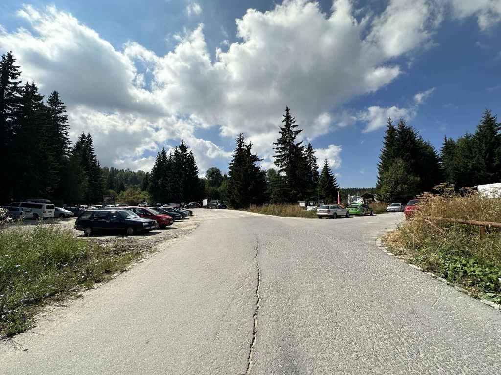
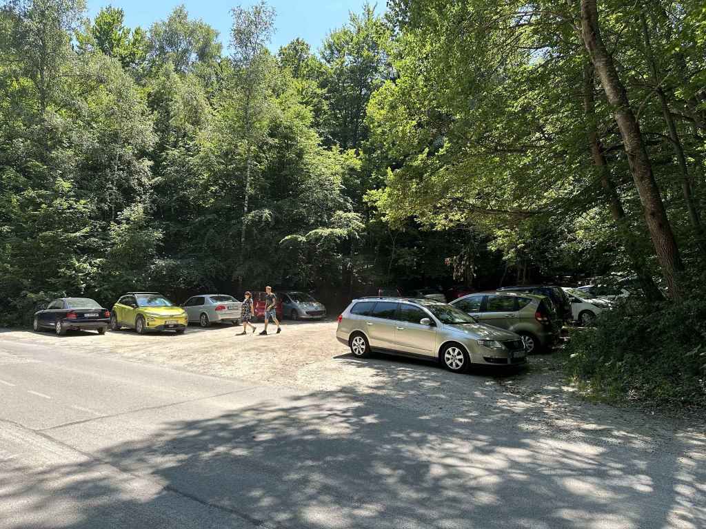
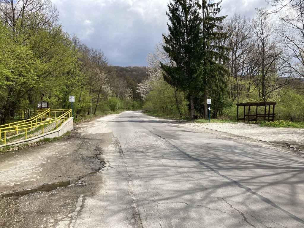
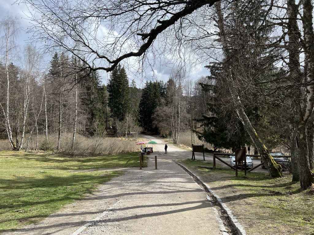
Both the 64 and the 107 buses stop near the church. For the 64 bus, which continues to the next village east, Dragalevtsi, you want to get off at the stop “Boyansko Hanche”, a restaurant on Sborishte Square. The 107 bus will take you all the way to the church, since this is its last stop. By car, you approach Boyana on Bulgaria Boulevard (from where you can see the waterfall on the side of the mountain), go under the ring road and, 200 metres after entering the village, you come to a roundabout. Go left here and, at the traffic lights, turn left. After 400 metres, you will cross Boyana River (which, higher up, forms the waterfall) and, in another 200 metres, Boyana Church will be signposted on the right. Park somewhere near the square.
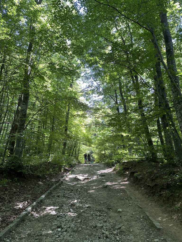
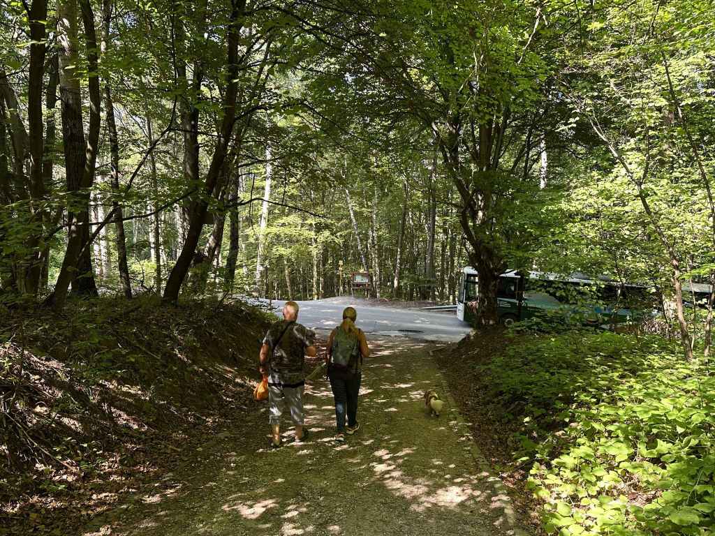
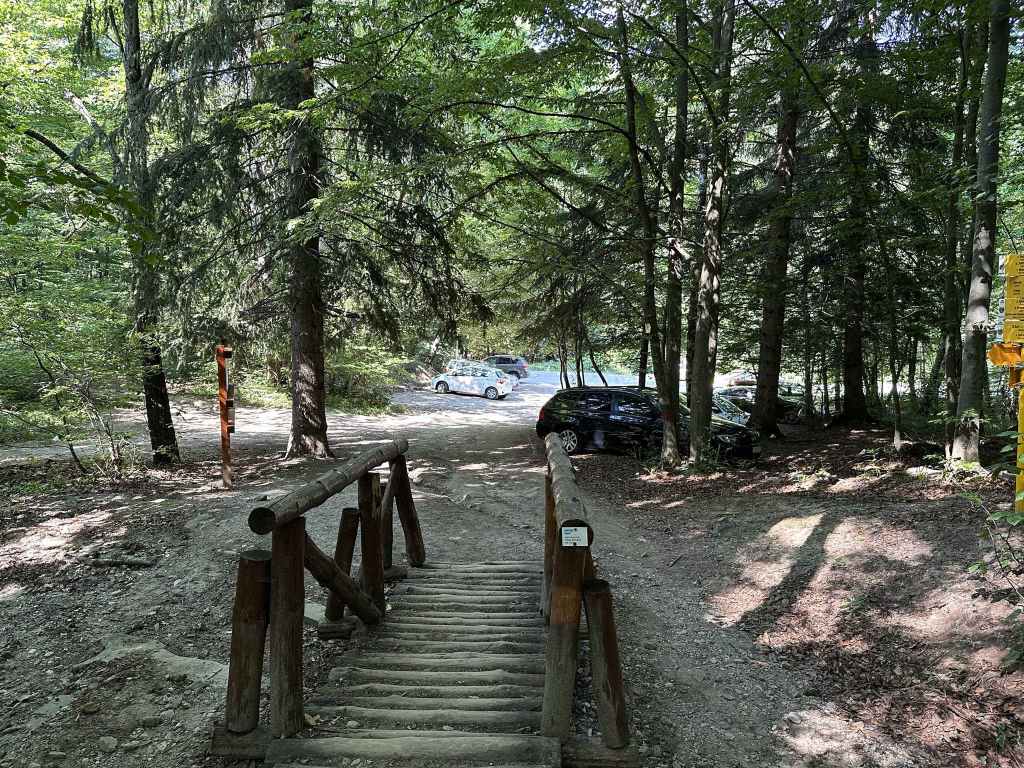
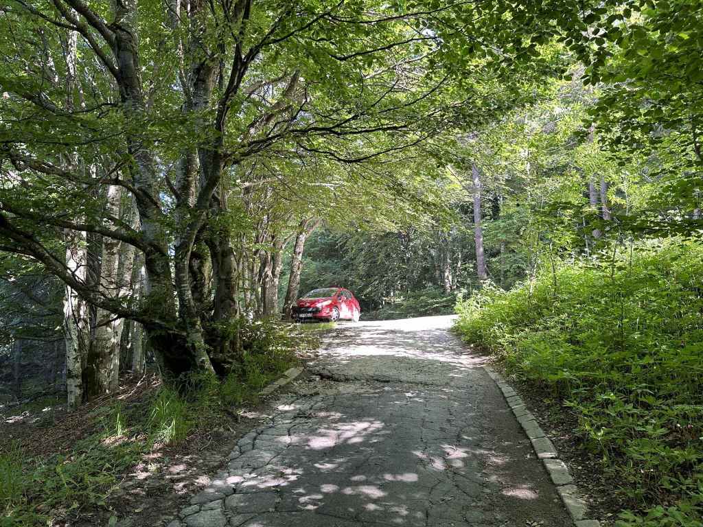
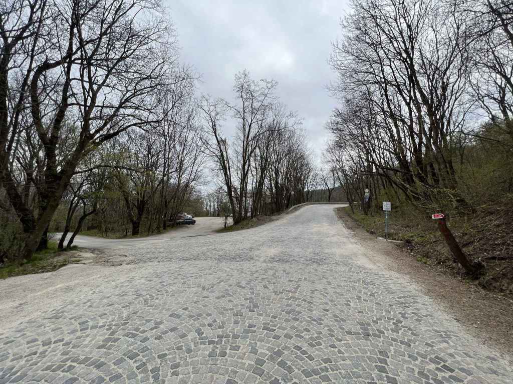
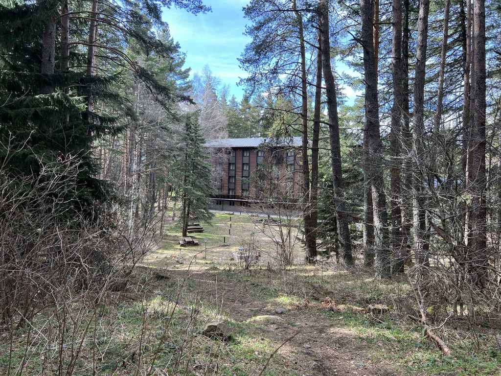
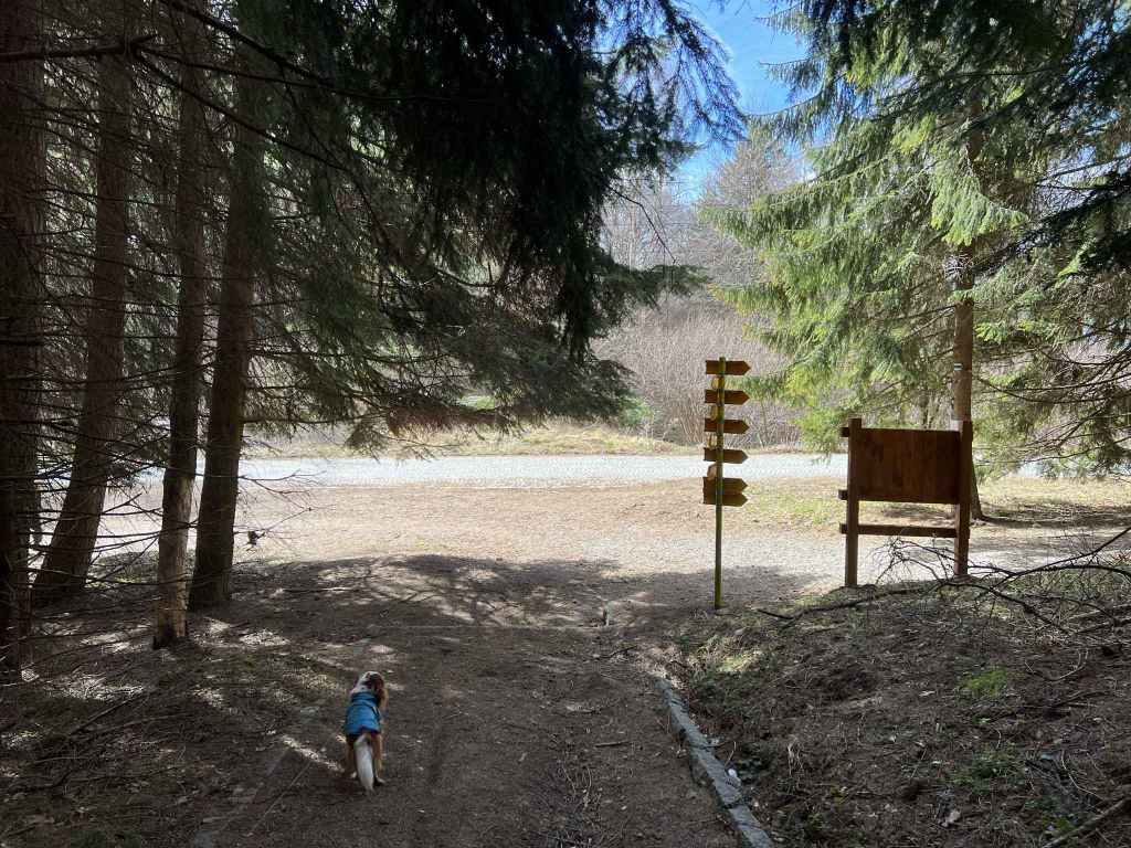
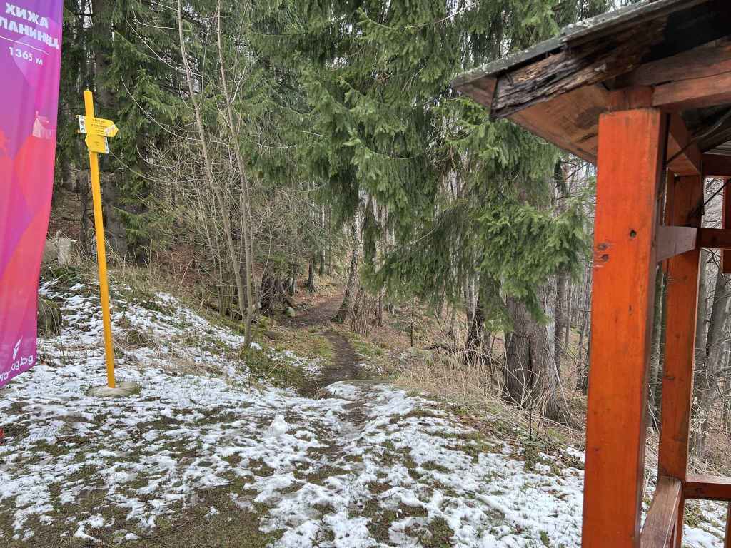
To reach the church, you go past All Seasons Residence Hotel and continue uphill. The church is about five minutes away and can be visited before or after the walk. To reach the start of the walk, with the entrance to Boyana Church in front of you, go right and continue further uphill. At the top, turn left and, in a couple of minutes, you will reach some stone steps and the entrance to Vitosha Nature Park.
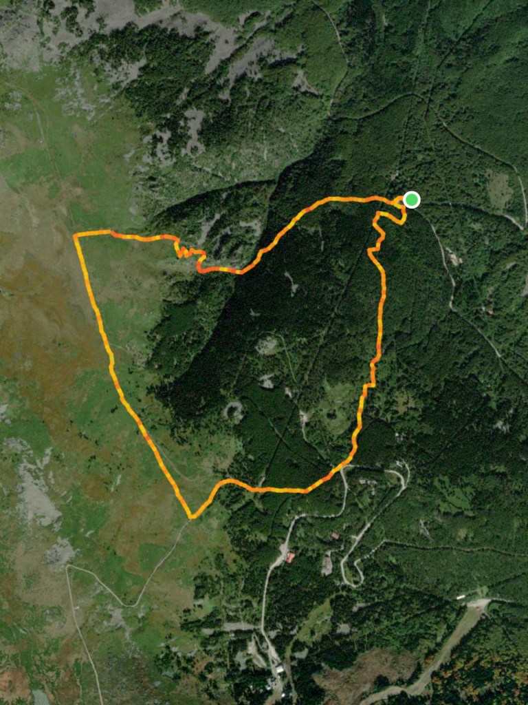
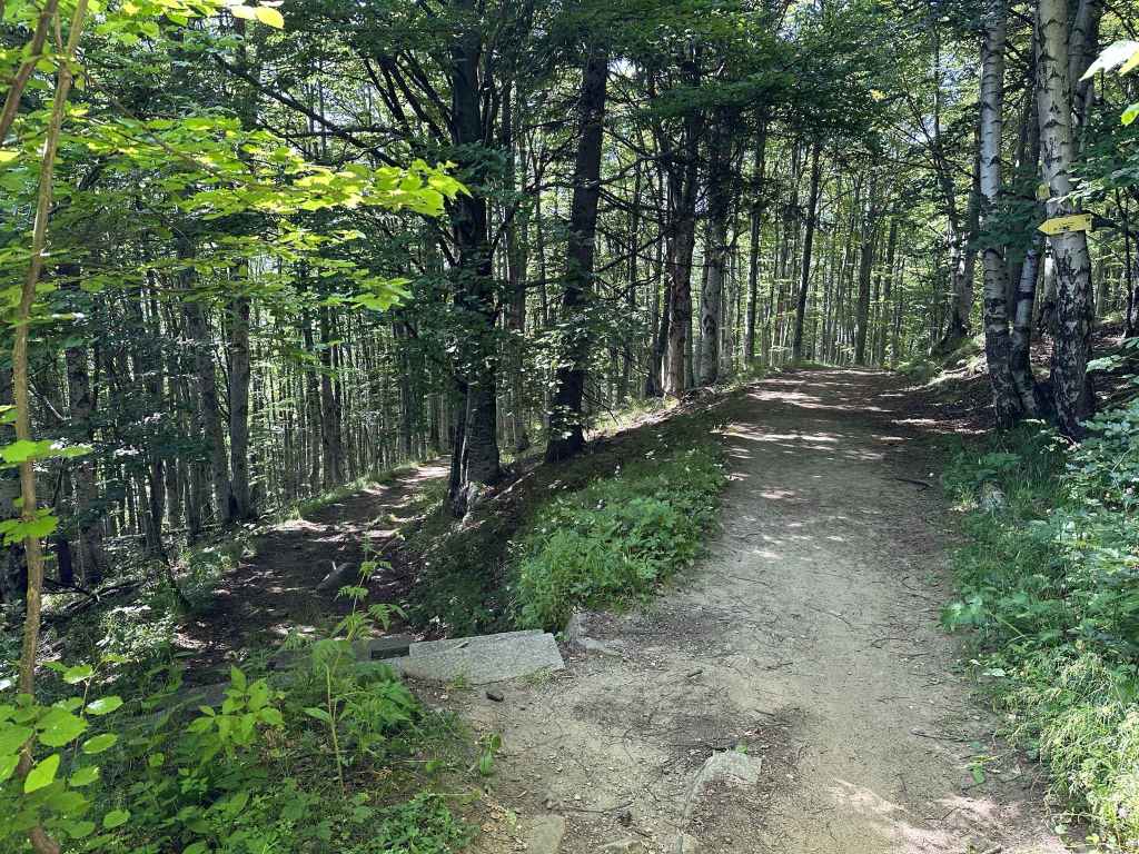
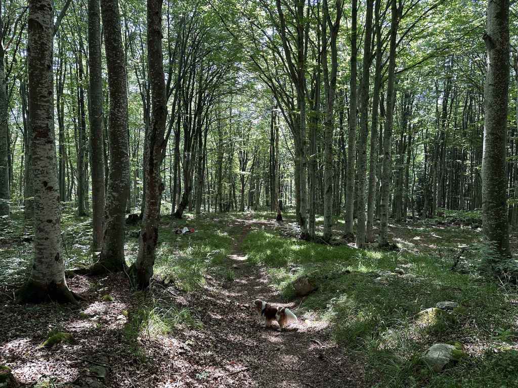
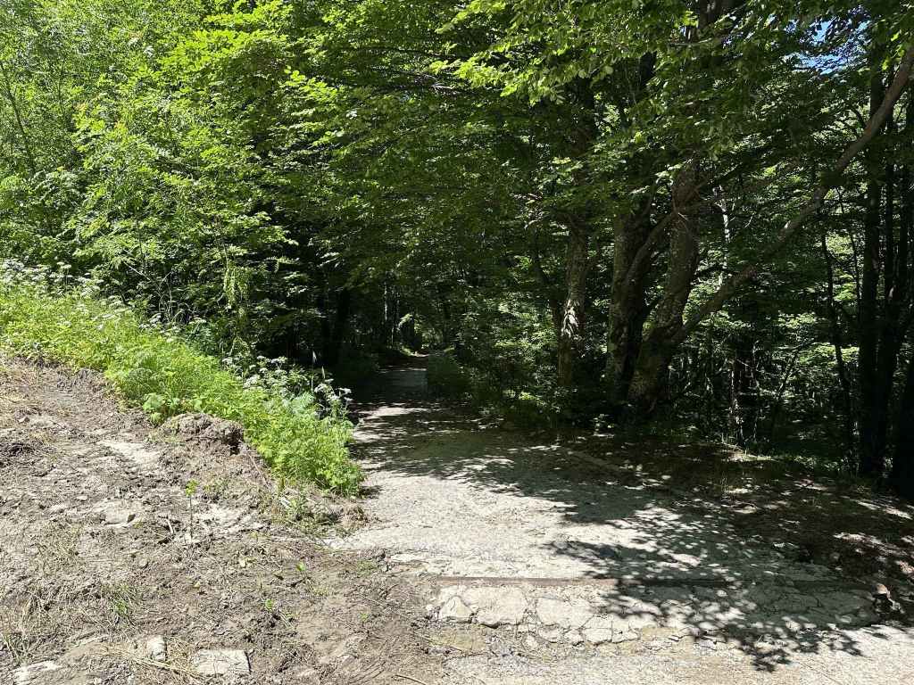
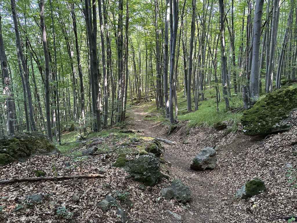
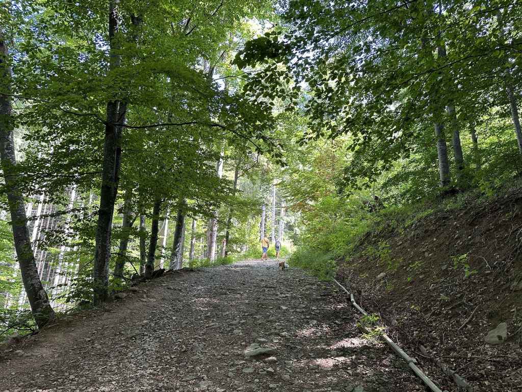
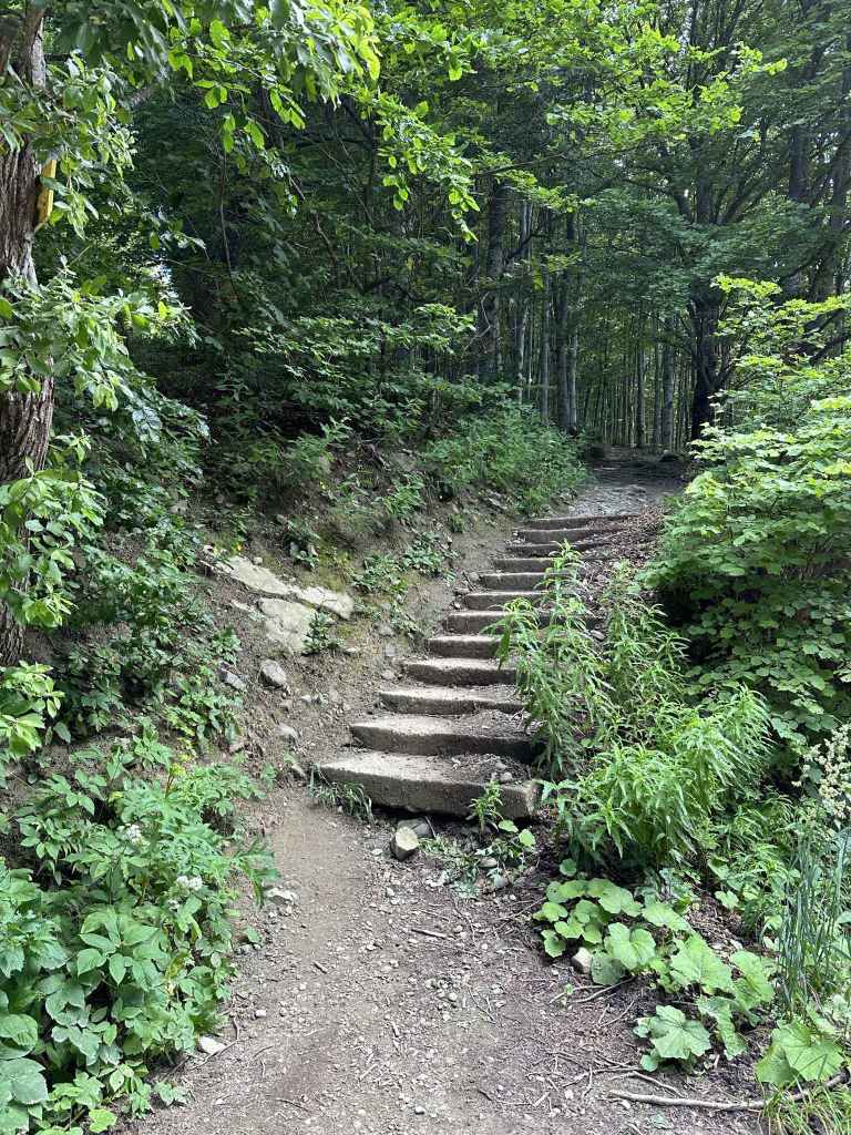
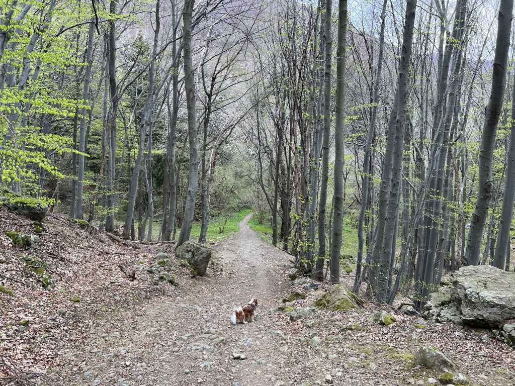
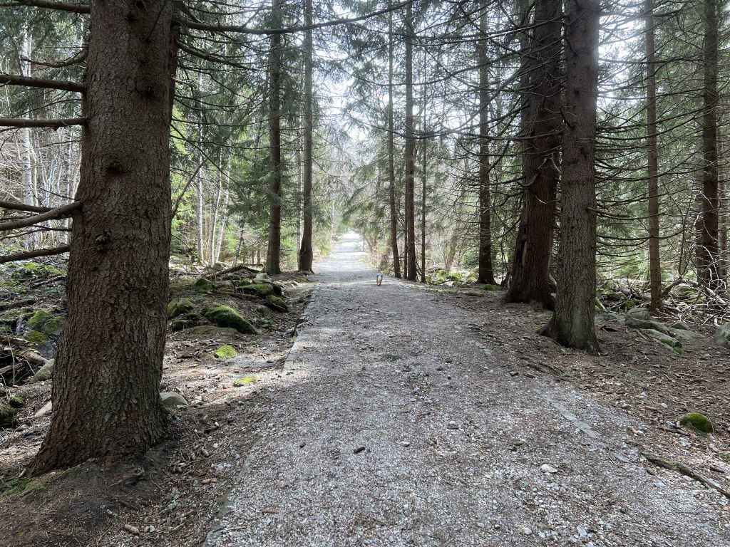
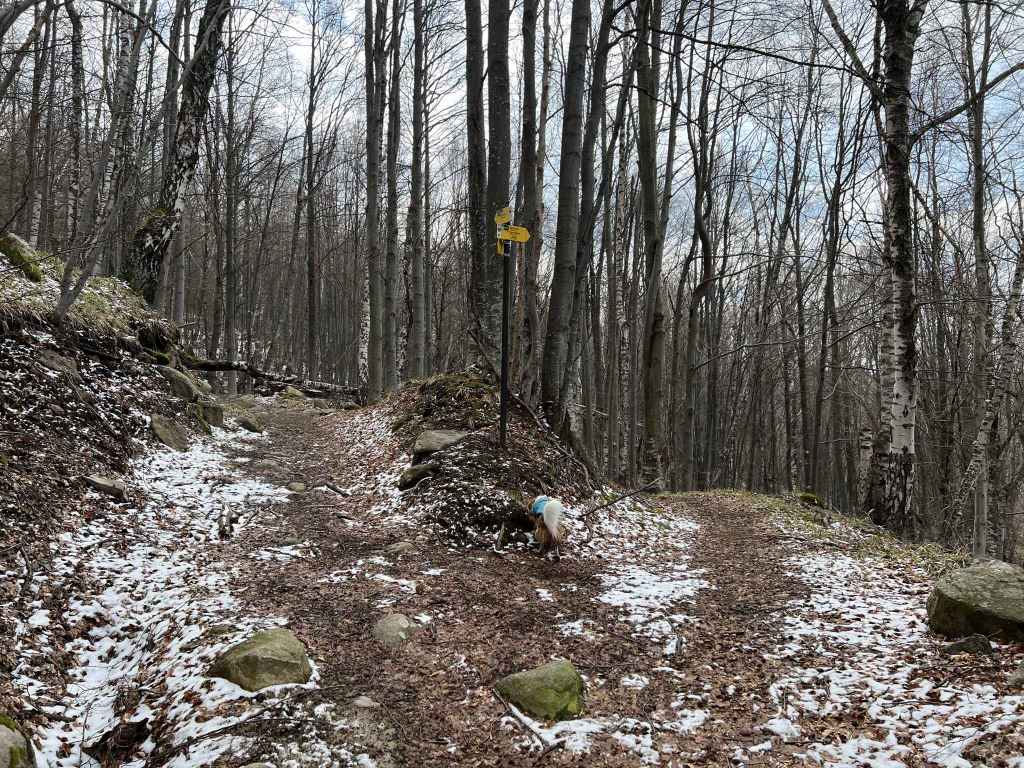
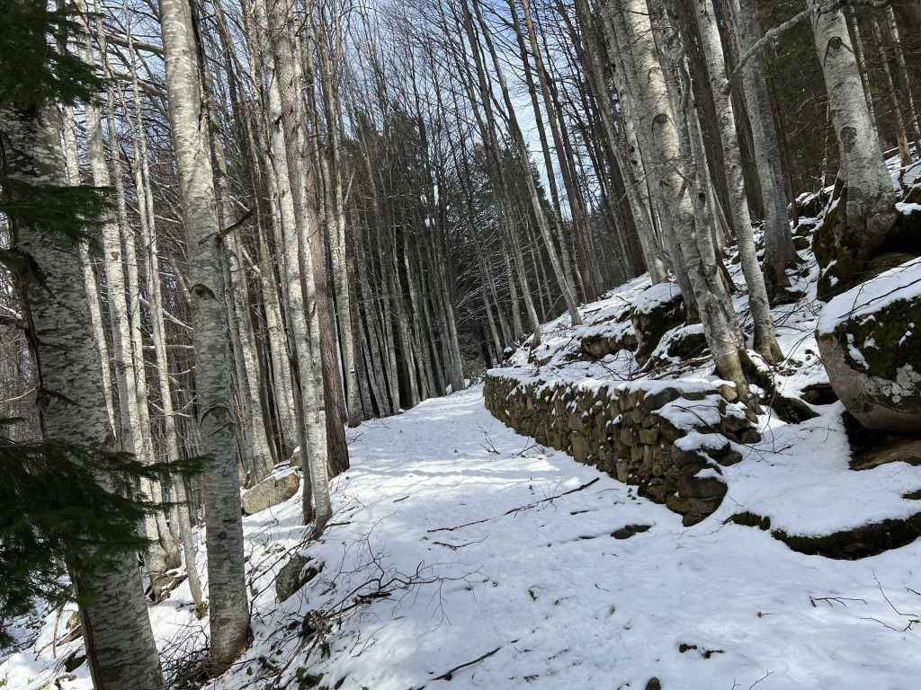
The walk consists of three parts – a stiff climb to the waterfall (1¼ hr, 2.9 km); a gradual descent to the lake (50 mins, 2.3 km); and a return to the starting point (30 mins, 1.7 km). These three parts have red, green and blue markers respectively. As you enter the park (“protected territory since 1934”), you will see a military installation on your right. Follow the red markers. The path takes you uphill and then behind the military installation. You will soon see the river on your right. You will now follow the course of the river all the way to the waterfall. After 1 km, a bridge crosses a tributary from the left. In another 350 metres, a path goes down to the river on the right, but keep left (uphill). The path starts to zigzag and, when you double back on yourself and are facing north, quite often there are pretty views of Sofia through the trees. As you approach the waterfall, the river starts to tumble. There are one or two mini-waterfalls before the waterfall itself. The path here has a metal railing, and at certain points you need to be careful with your footing. There is a rising sense of anticipation as you near the waterfall. It soon appears and is a sight to behold, especially if you go in early spring (during or after the snow melt).
The waterfall reminds me of the Communion of the Apostles in Orthodox churches. It is remarkable how a bubbling stream has now become a burning star pouring forth rays of light. There’s a certain amount of tomfoolery, people taking their shirts off and standing beneath the spray or taking selfies.
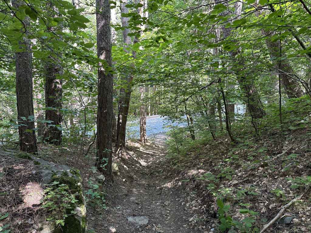
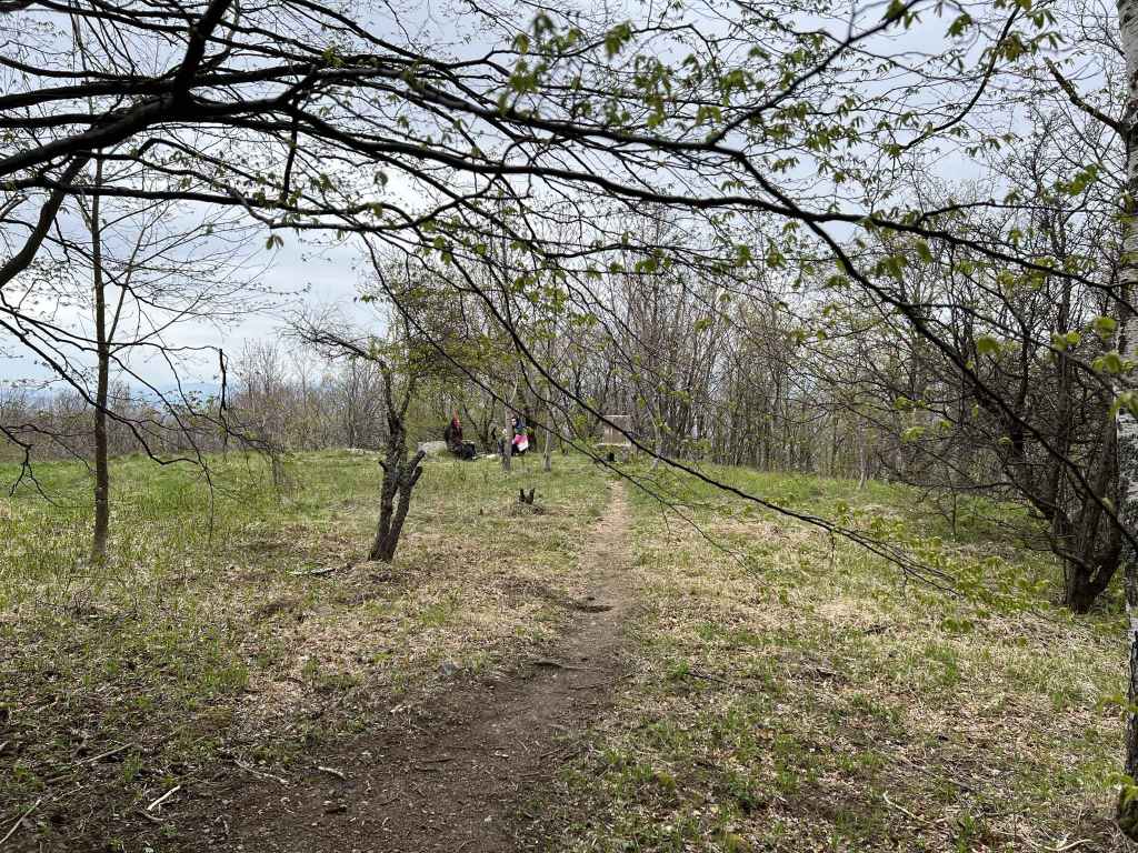
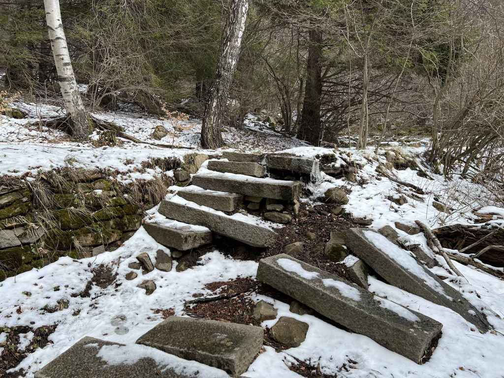
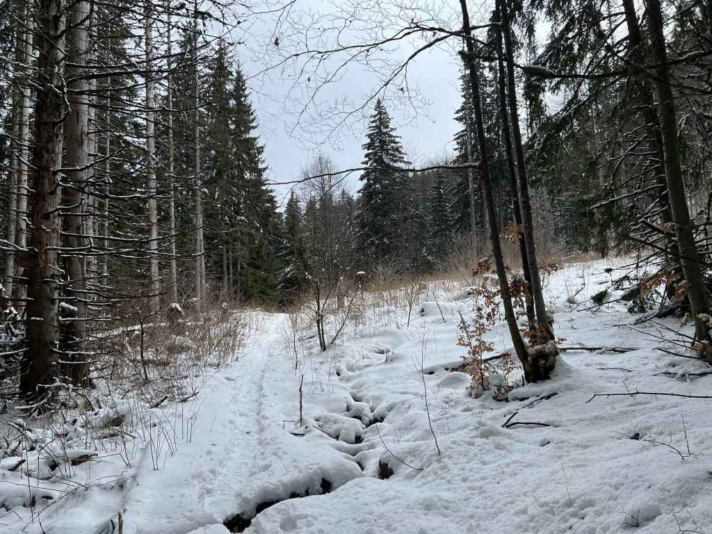
After you have taken your fill, you can of course return down the mountain, but I recommend you continue to Boyana Lake. It doesn’t take much longer, and the lake is pretty. Take the path that climbs next to the waterfall, but instead of continuing uphill (south), take the path that immediately forks left (east), which is signposted for Boyana Lake and has green markers. This path meanders around rather than up the mountain. After 350 metres, a path joins from the right. Keep going east. The path begins to descend. In another 300 metres, you will reach a T-junction. Go left here, signposted for Boyana Lake and Dragalevtsi. You will soon cross another tributary of Boyana River. After 1 km, a path joins from the right. Keep going in the same direction (which is now more or less northwards). Several paths diverge to the left. Ignore them. Keep right, and you will soon come to a ruined building, behind which is the lake.
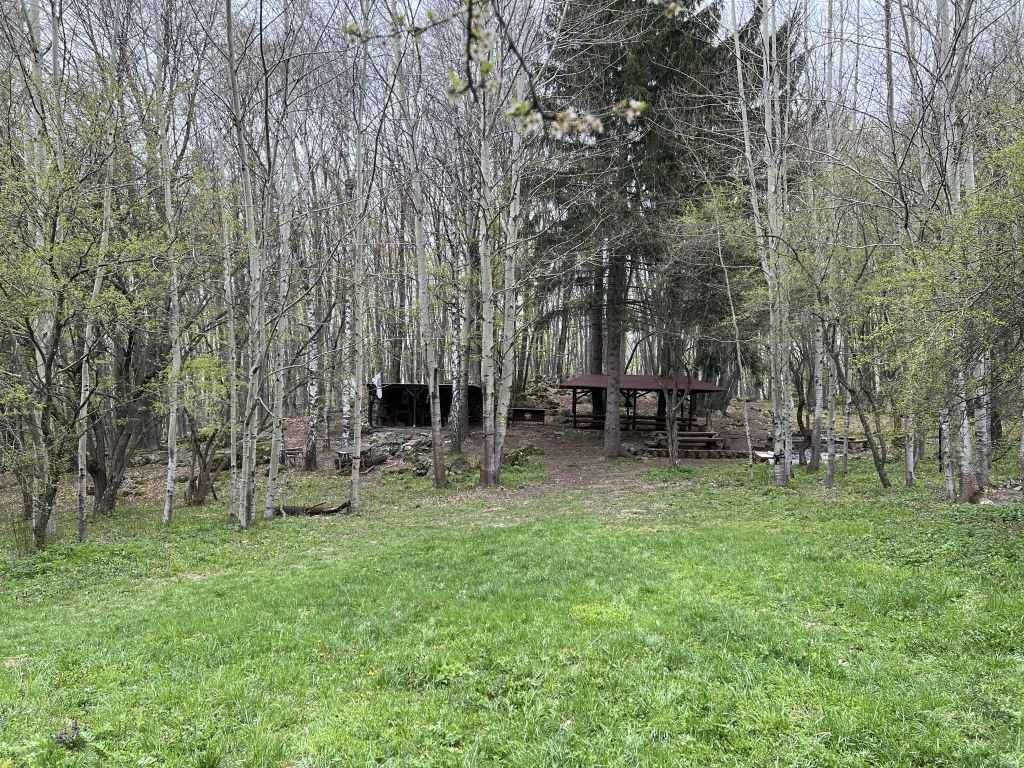
Continue to the north side of the lake, where there are some rocks and people have barbecues. A separate walk approaches the lake from Dragalevtsi Monastery further east. It is normally full of croaking frogs, who like to make their presence felt, but I wouldn’t recommend letting any animals with you drink the water, it’s a little stagnant. Once you’ve had your fill, leave the lake and head north/north-west. A path with blue markers descends the mountain, with the lake behind you/to your left. Follow this path, and in half an hour you will be back where you started!
This walk is an excellent introduction to Vitosha Mountain. It also enables you to visit one of the most famous sites in Bulgaria, Boyana Church. Also in Boyana is the National Historical Museum, which has some impressive exhibits. It is also possible to visit Boyana Waterfall from Kopitoto further up the mountain – in this case, you descend rather than climb to the waterfall, and this is what I did for many years, but I have to say I find the climb from Boyana Village very rewarding. The fact you’re by the river all the way – it’s like she’s taken you by the hand and led you there herself.