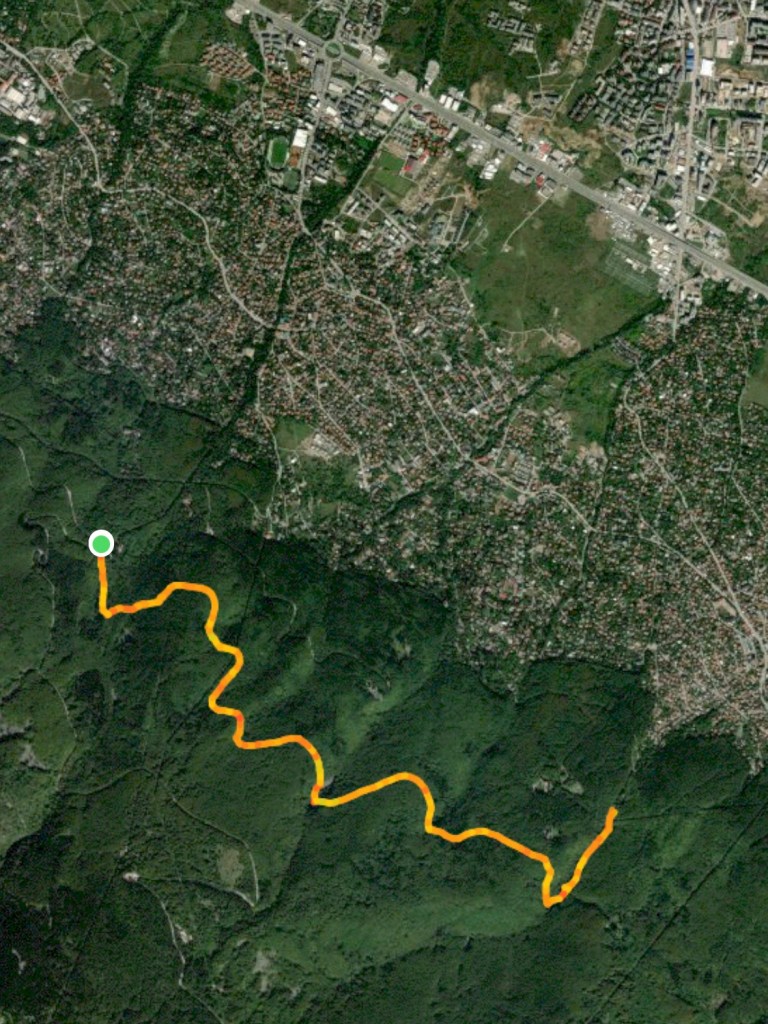
Starting Coordinates: 42.61953, 23.29827
Distance: 10.4 km
Elevation Gain: 320 m
Time: 4 hours
Difficulty: Moderate
Transport: by car, or by bus no. 66 to the stop for Dragalevtsi Monastery

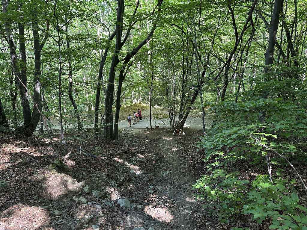
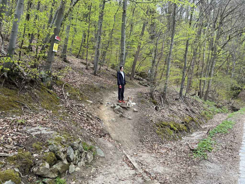
The start of the walk at the southern corner of the Dragalevtsi Monastery car park. 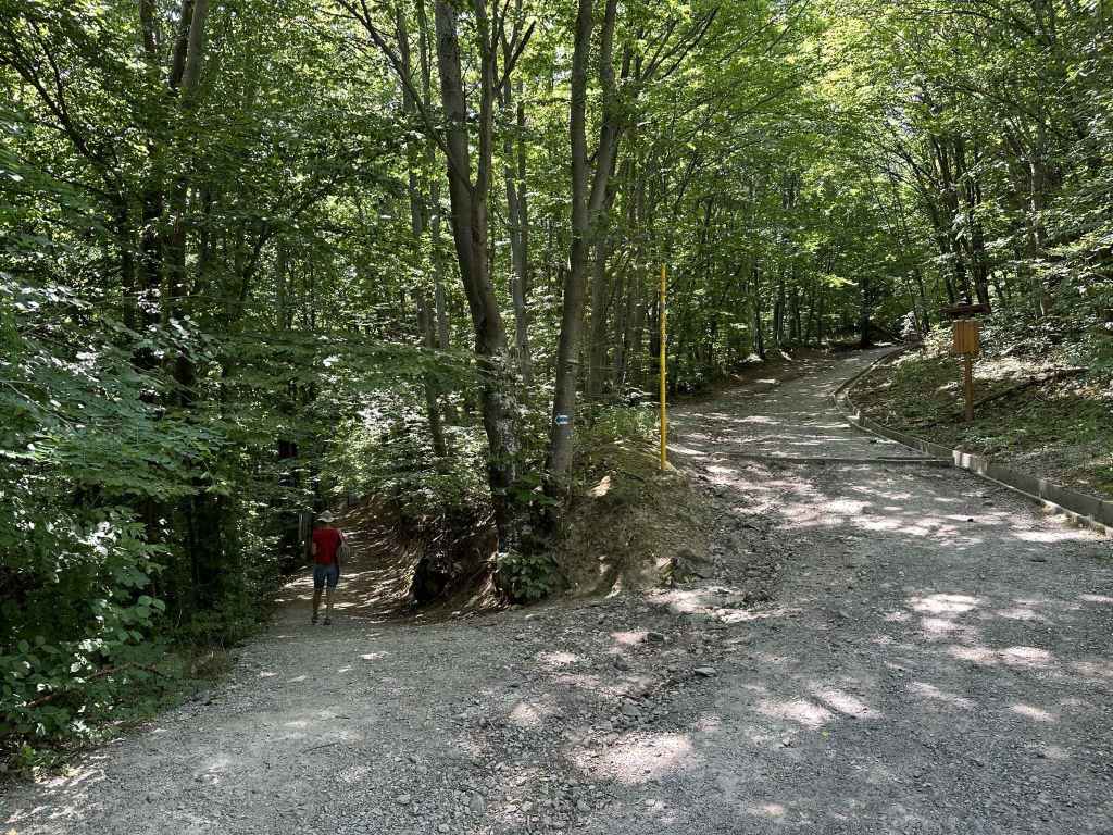
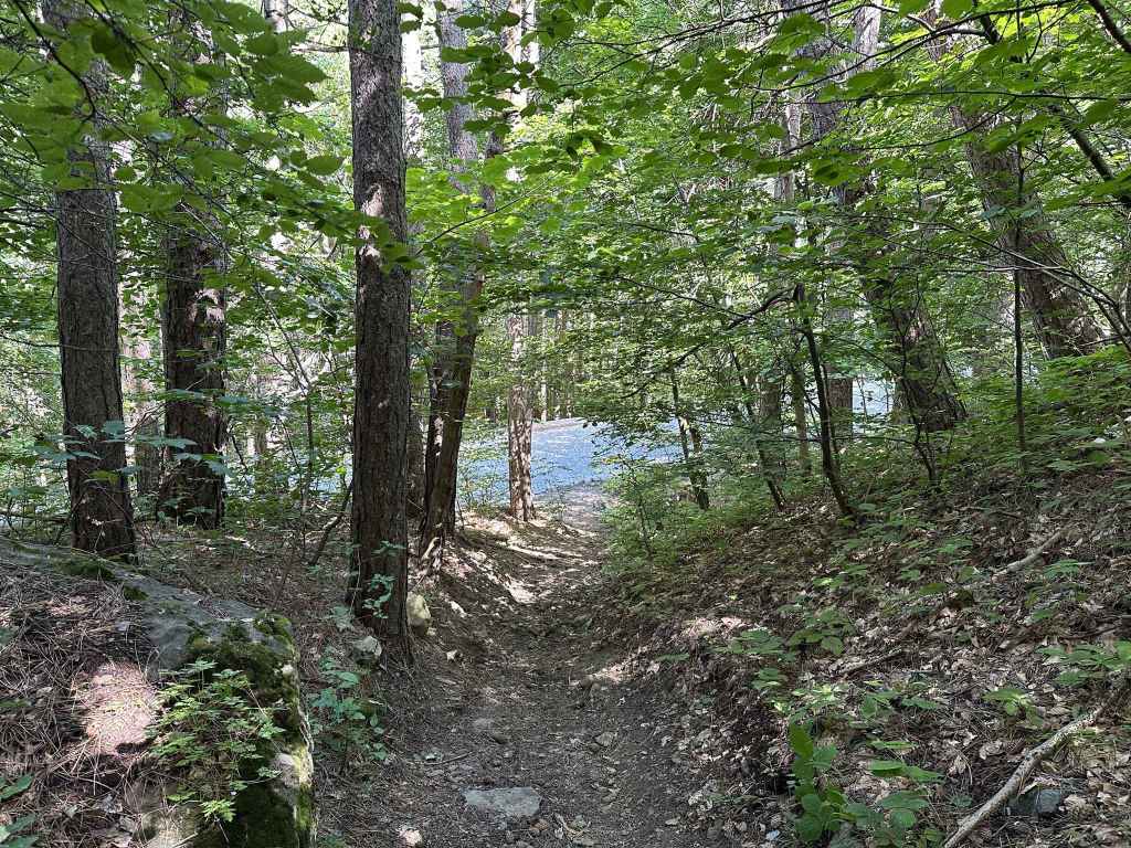
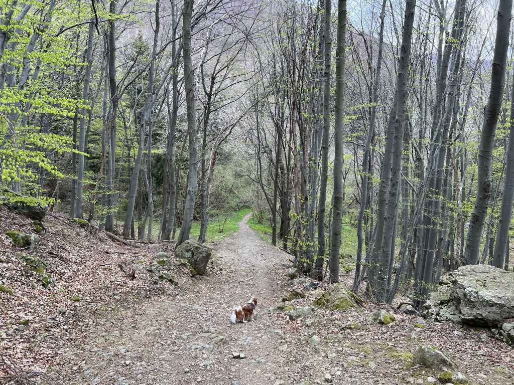
After 50 metres, turn left. Do not go up the mountain! 
Seven minutes later, the path divides. Keep left. 
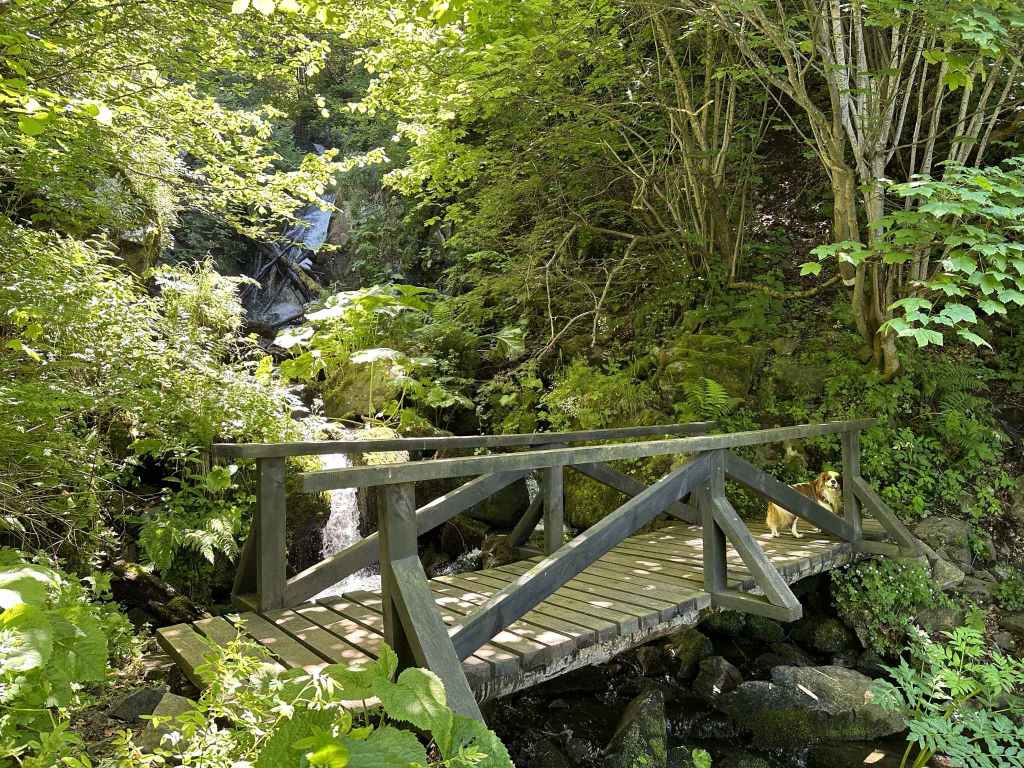
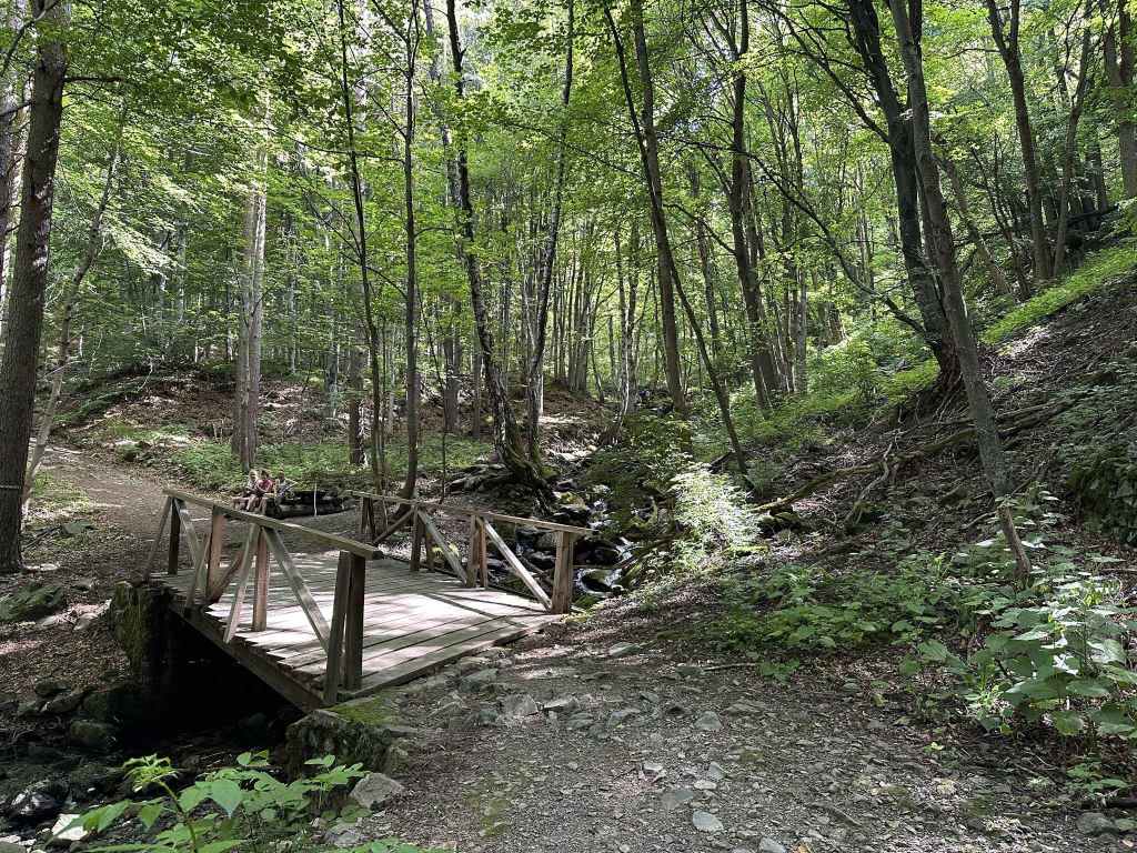
One of the bridges across Dragalevtsi River. 
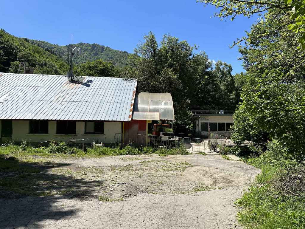
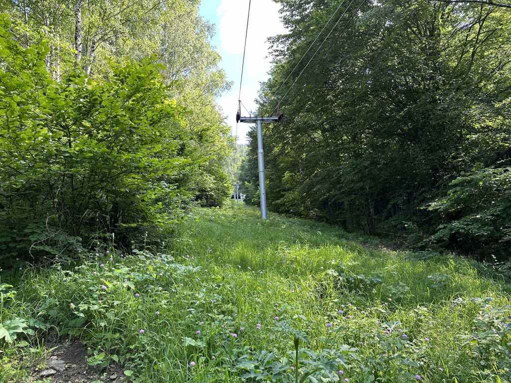
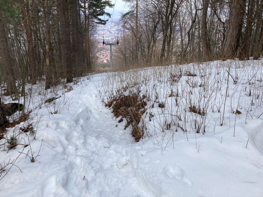
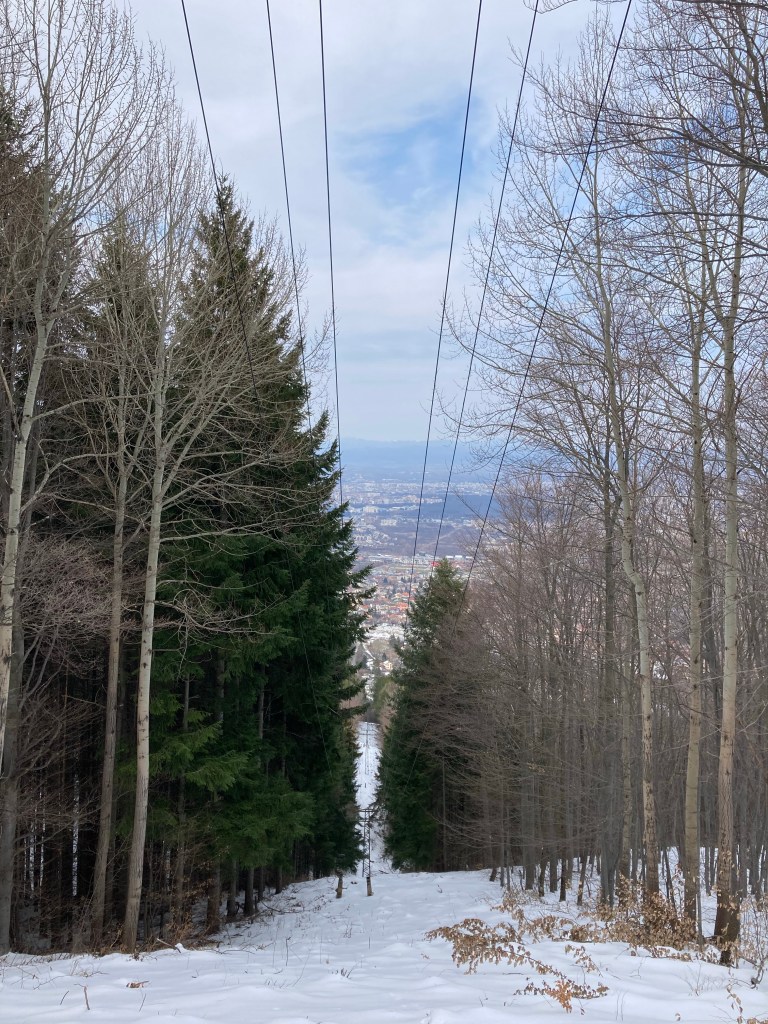
The disused Dragalevtsi chair lift. 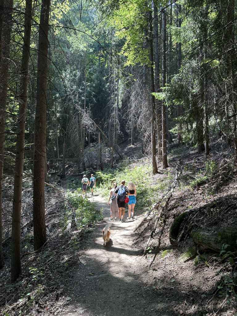
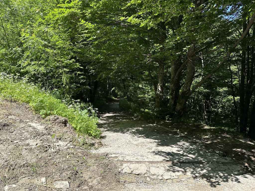
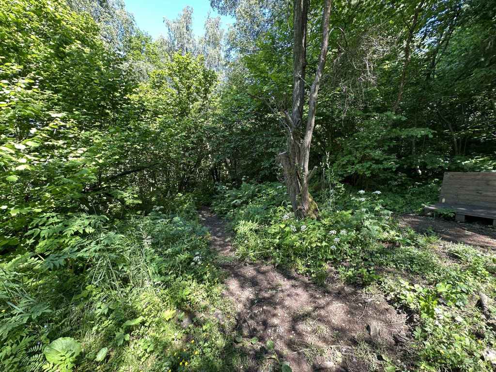
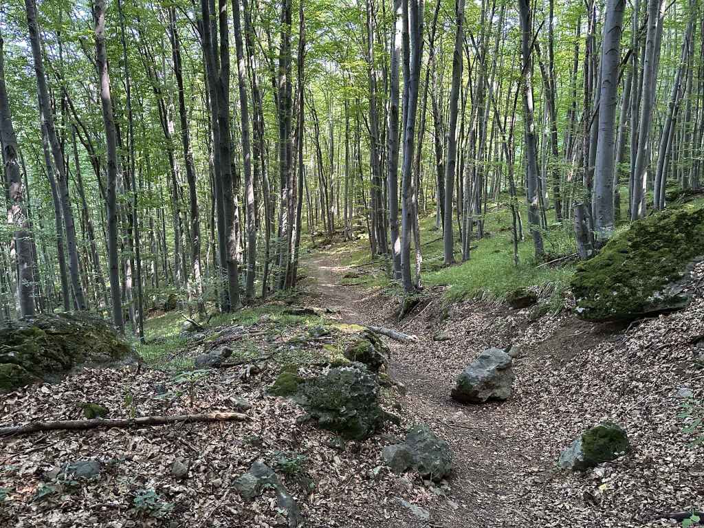
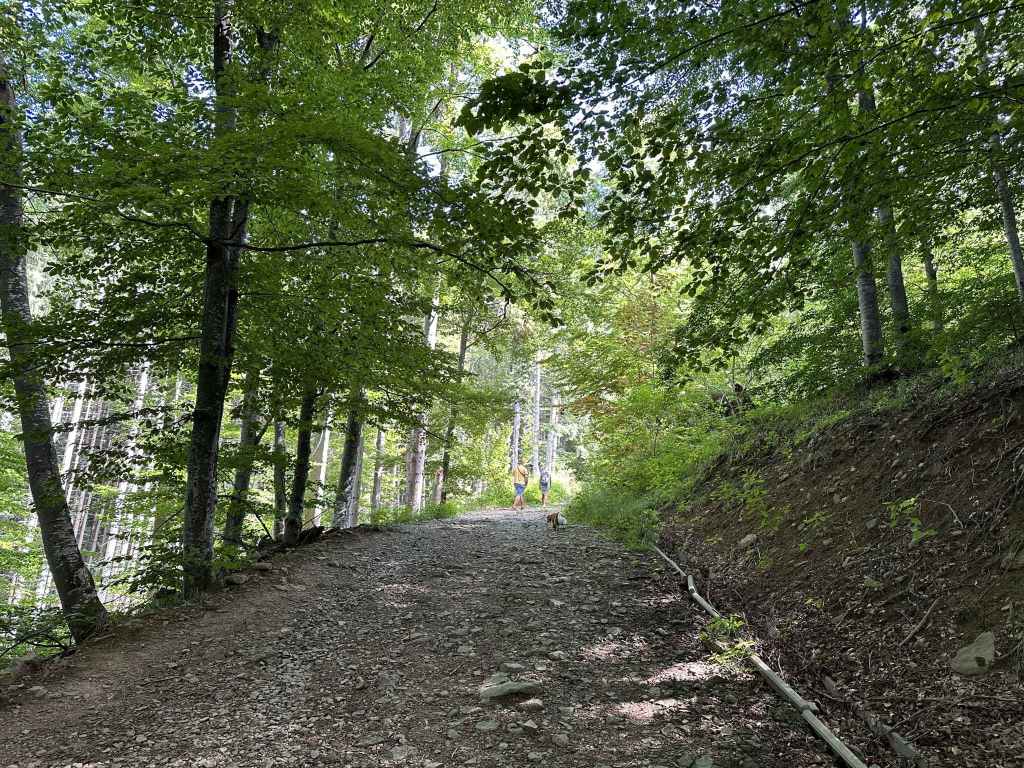
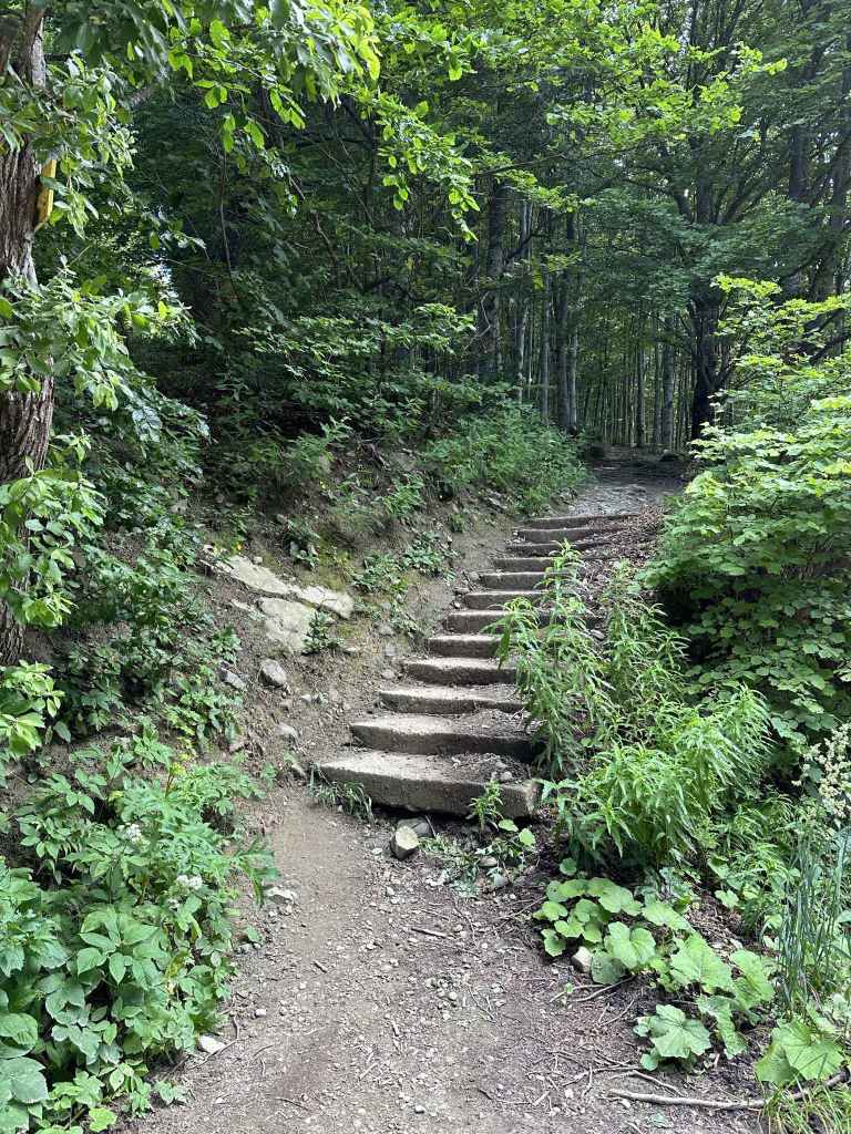
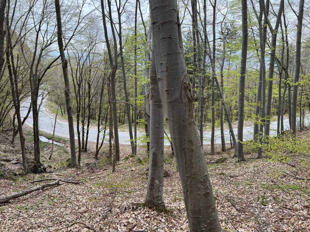
The path is in forest most of the way. 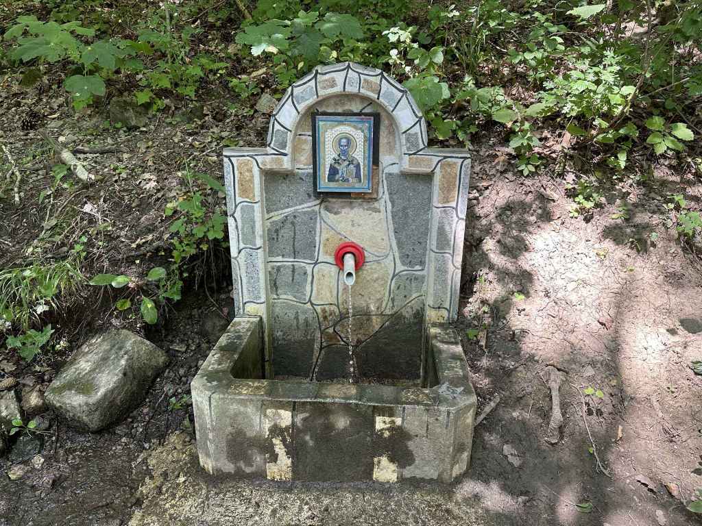
The fountain with an icon of St Nicholas. 
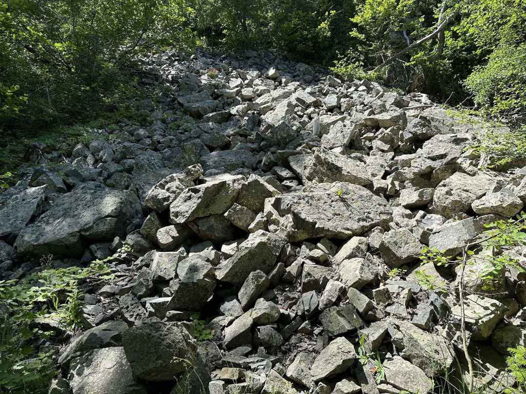
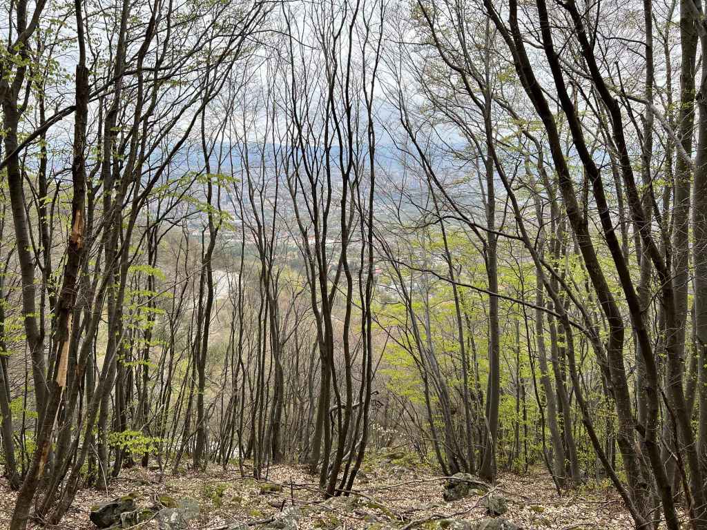
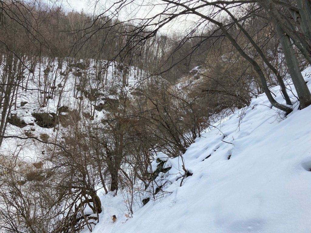
Approaching the rocky outcrop. 
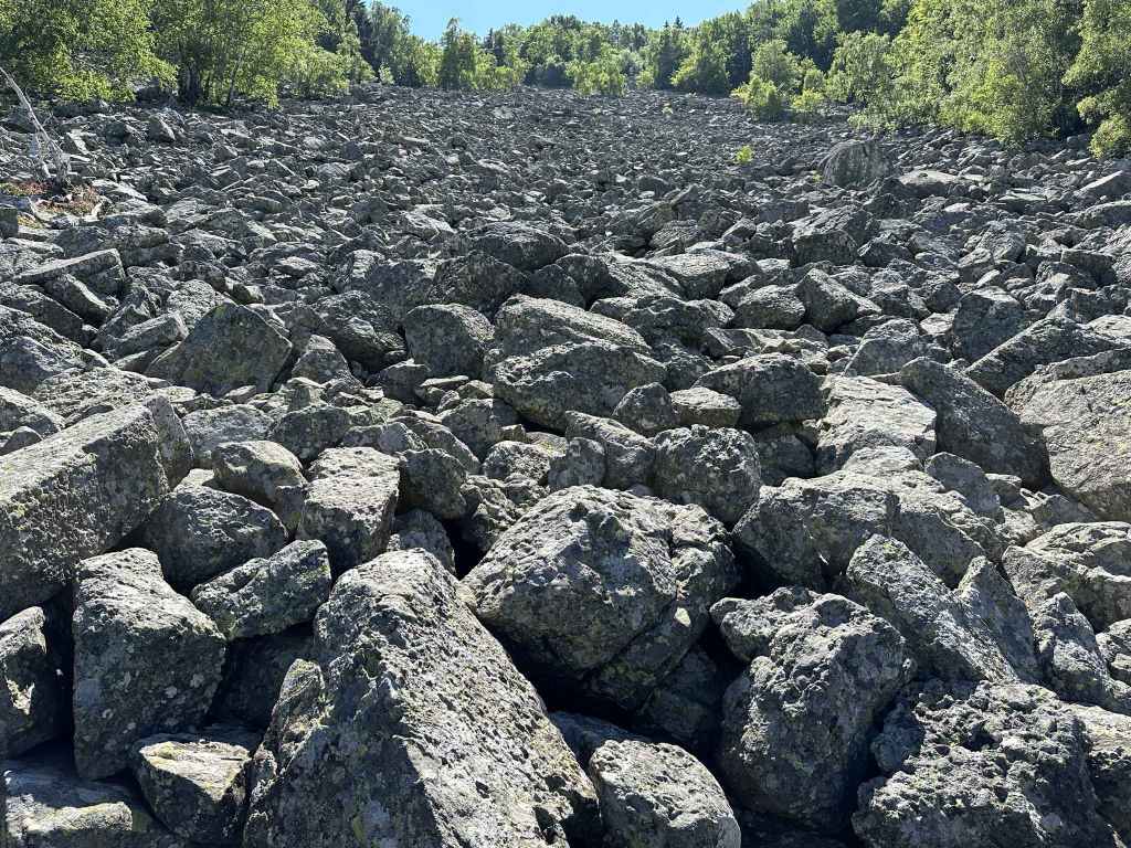
The rocky outcrop. 
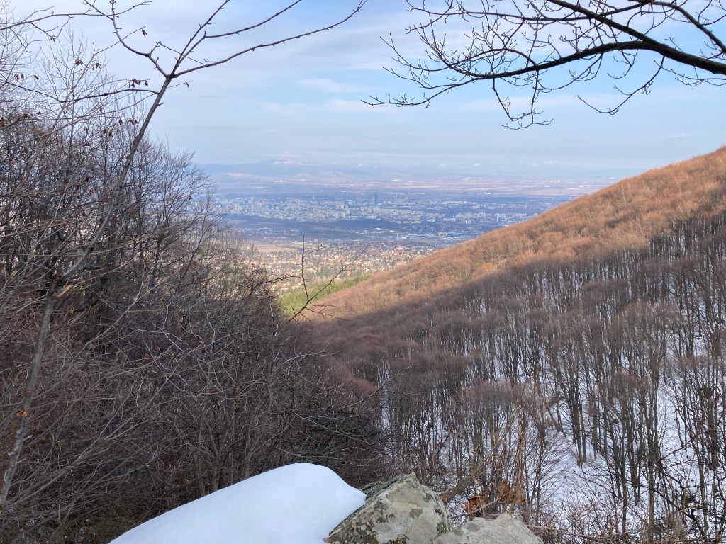
The view towards Sofia. 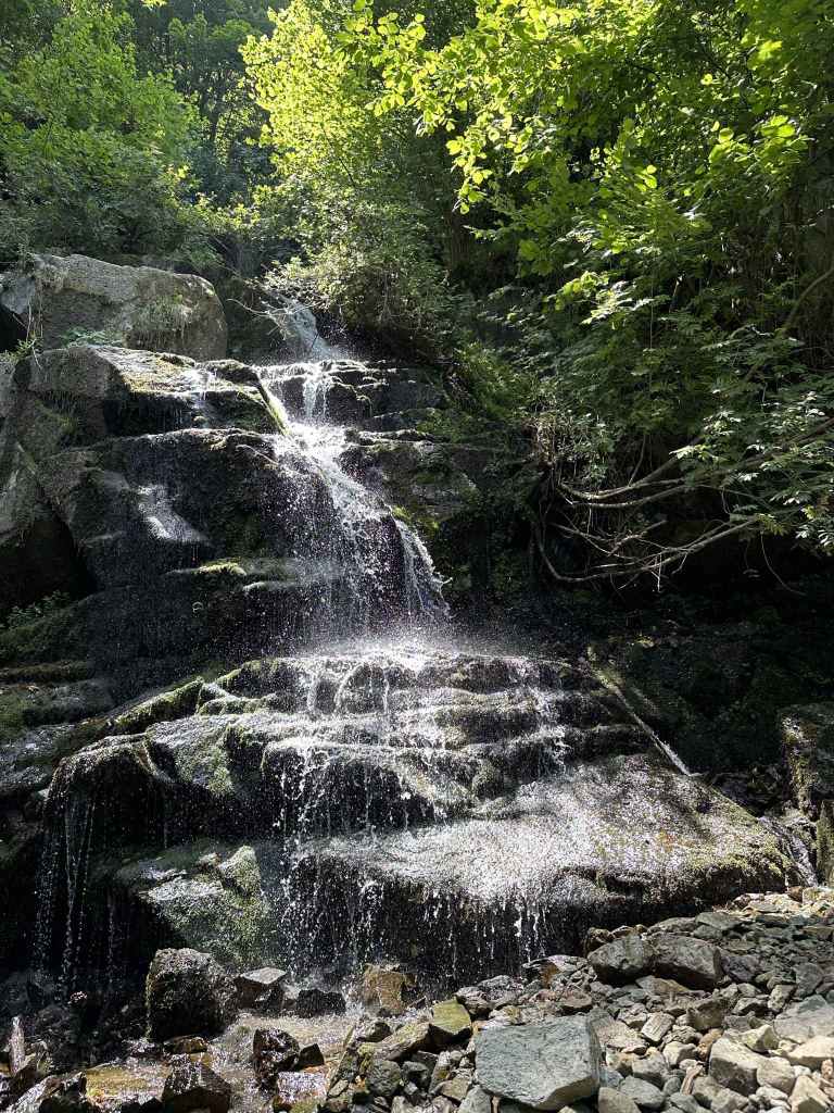
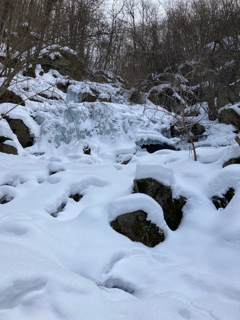
Aleko Waterfall. 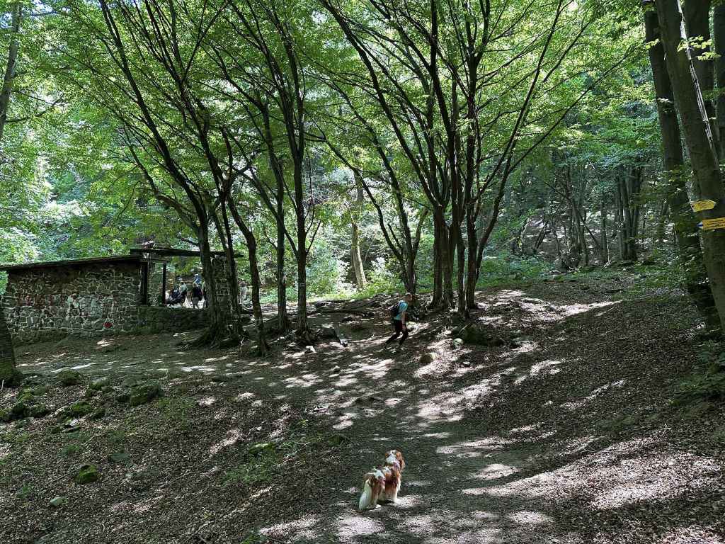
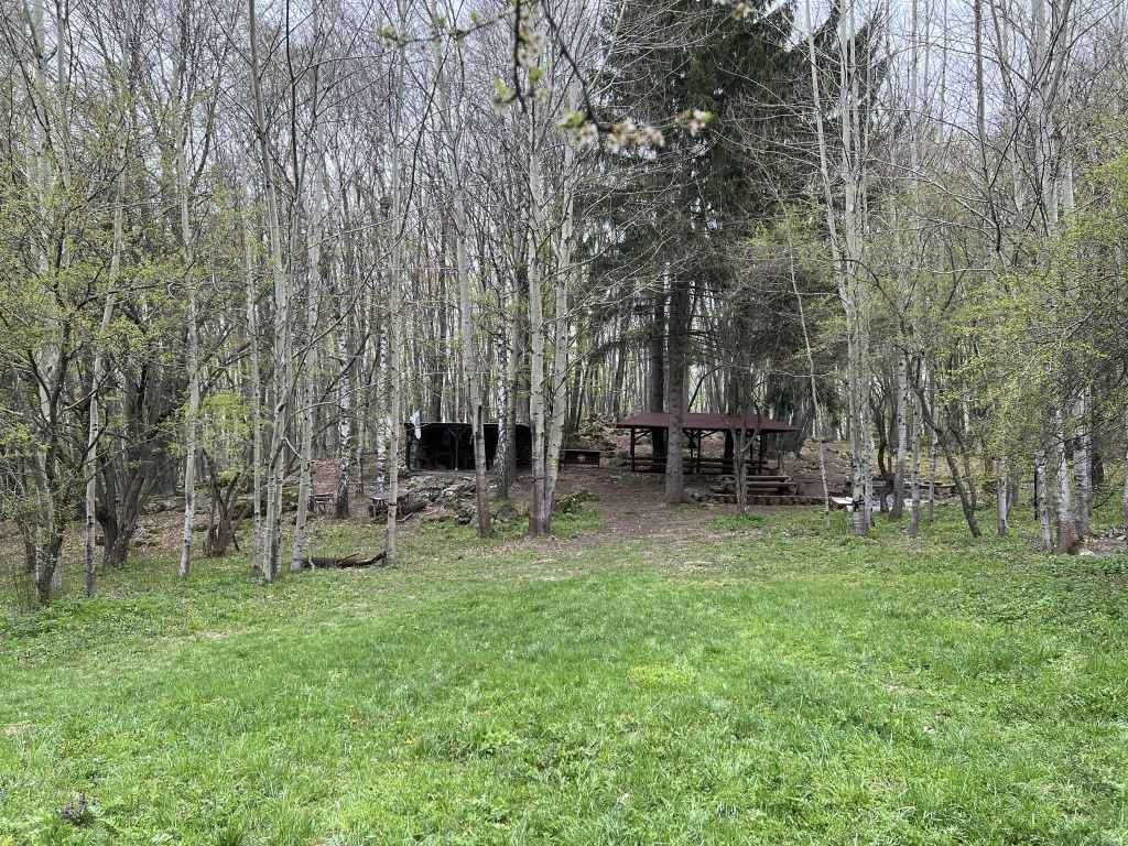
In another 2.5 km, you will come to an abandoned shelter. Turn left here for Simeonovo Lakes. 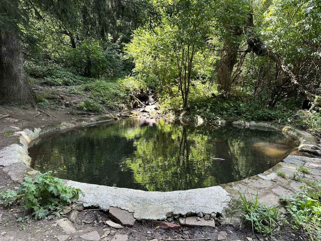
Lake no. 1. 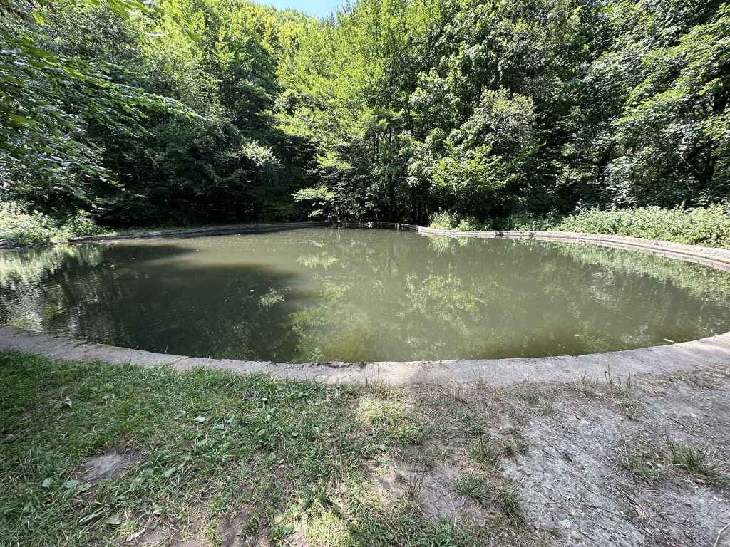
Lake no. 2. 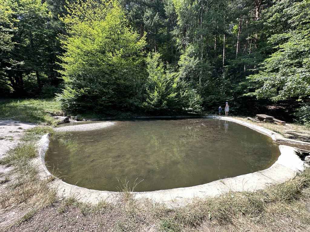
Lake no. 3. 
Lake no. 4 (or the other way around, depending on where you started).
Two walks start from the car park which is above and behind Dragalevtsi Monastery – the walk to Boyana Lake, and this walk to Simeonovo Lakes. They both follow the low-altitude circular trail that goes around the mountain at more or less the same elevation – that is, without climbing or descending the mountain a great deal. But while Boyana Lake really is a lake, Simeonovo Lakes are not what I would call lakes. They are man-made ponds (we even spotted fish in one of them), but they are still very attractive and a popular picnic spot above the district of Simeonovo.
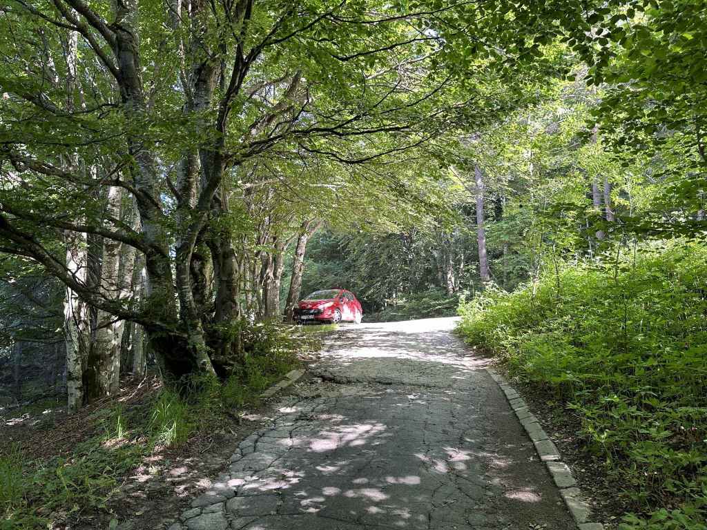
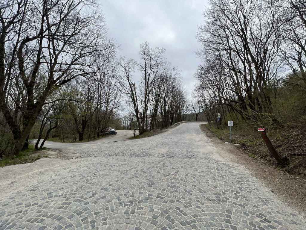
To reach the car park above/behind Dragalevtsi Monastery, you must access the mountain via Dragalevtsi. If you are travelling by bus no. 66, you will get out at the stop for Dragalevtsi Monastery. By car, leave the central square, drive up the cobbled road in the far corner, ignore the turning left to the “Vodenitsata” restaurant after 1.5 km and continue straight for another 3 km. Here is the bus stop for Dragalevtsi Monastery, and on your left, partially hidden by the trees, is a car park with the monastery behind it. Park here.
Go the southern corner of the car park and take the path that goes up the mountain, but only for 50 metres. Immediately join the path going left. This is the low-altitude circular trail. The monastery is again on your left, and the road is now behind you. This path will take you all the way to Simeonovo Lakes. It will be crisscrossed by other paths going up and down the mountain, by bike trails, by leafy hollows, by dry riverbeds, but don’t be led astray. If you have started climbing or descending more than usual, then you have gone the wrong way. Just stay on the path for 5¼ kilometres. It will take you across Dragalevtsi River, under a disused chair lift, through beautiful beech forest, past a rocky outcrop with a wonderful view of Sofia, past a waterfall, and then deliver you to a picturesque spot with tables in the shade. What more could you possibly ask for?
But, like life, just when you think things are going smoothly, a problem arises. The path divides after seven minutes. You didn’t want a choice, but you’ve been given one and are going to have to make it. Keep left (the path is signposted for Simeonovo and Bistritsa). Do not start to climb! The path on the right, signposted for Momina Skala and Kamen Del, may look level, but don’t be fooled – before you know it, you’ll be going up the mountain!
So keep left, and you will become aware of Dragalevtsi River, a river that features heavily in the walk Bay Krastyo-Kikish, on your left. In a couple of minutes, the path turns a corner, and you cross the river by means of two bridges and a walkway. Keep going on this path, ignoring any turnings on the left or on the right, and in another ten minutes you come to the disused Dragalevtsi chair lift (see the walk Bay Krastyo-Kikish). Keep going straight, and in another fifteen minutes you come to a most welcome fountain and bench. There is normally an icon of the Virgin Mary above the fountain, but this time it was St Nicholas. No matter. The water is very refreshing.
Keep going, ignore the dry riverbeds and bike trails crisscrossing the path, and in twenty minutes you will reach one of my favourite places on the mountain – a rocky outcrop I have been visiting for twenty years. Look left, and you will have a wonderful view of Sofia. You can sit on the rocks on either side of the path and have a rest.
But a surprise awaits you! In another 100 metres, continuing on the same path, is Aleko Waterfall, created by Skakavitsa River. This is one of two popular waterfalls on the mountain (the other is Boyana). You are now about halfway to Simeonovo Lakes and are perfectly entitled to decide you have come far enough and to turn around. Simeonovo Lakes is another 2.5 km from here (45 minutes), so it’s up to you.
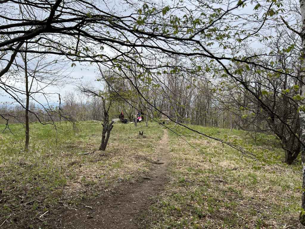
If you wish to continue, you just keep going on the same low-altitude circular trail. You will come to a couple of benches – ignore the turnings left and right! Keep going straight (signposted for Bistritsa and Zheleznitsa), and half an hour after the waterfall you will come to an abandoned stone shelter which people use to light barbecues. Behind the shelter is the stream that forms the lakes. Go upstream (that is, turn right), and you will come to Buda, the destination of another walk. You want to go downstream (that is, turn left at the shelter) and follow the course of the stream. It will take you downhill to a total of four lakes. Wooden bridges crisscross the stream. It doesn’t matter which side you are on, as long as you are following the course of the stream. Having enjoyed the view and decided which lake you like best, simply climb back uphill to the stone shelter, turn right here, and take the low-altitude circular trail all the way back to Dragalevtsi Monastery and the car park.
Don’t underestimate the distance, though. This walk is more than ten kilometres, but can easily be shortened by turning back at the waterfall. Of course, Simeonovo Lakes can be approached more directly from Simeonovo itself (bus no. 67).