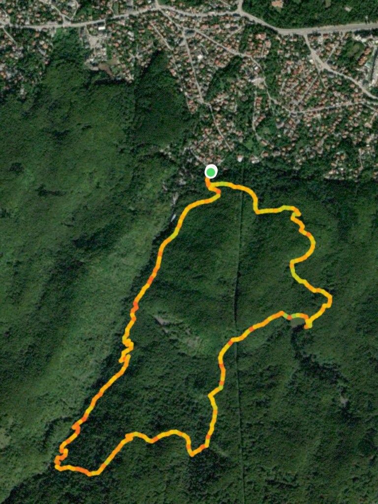
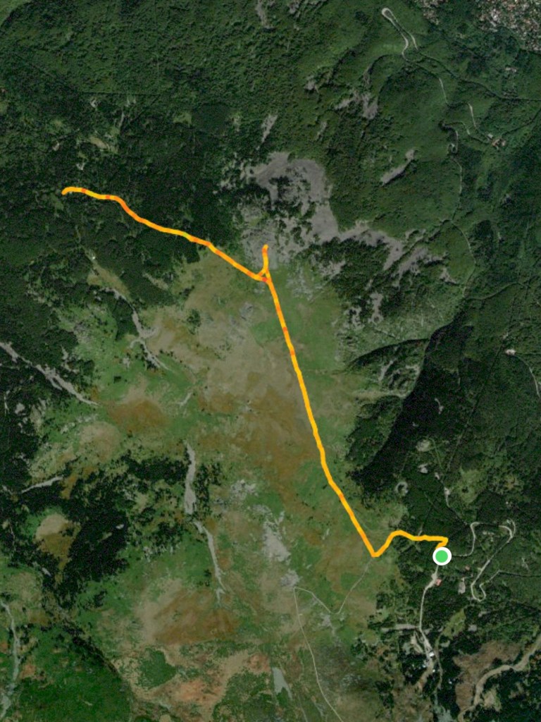
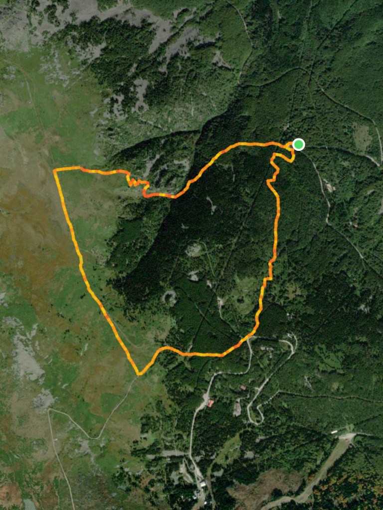
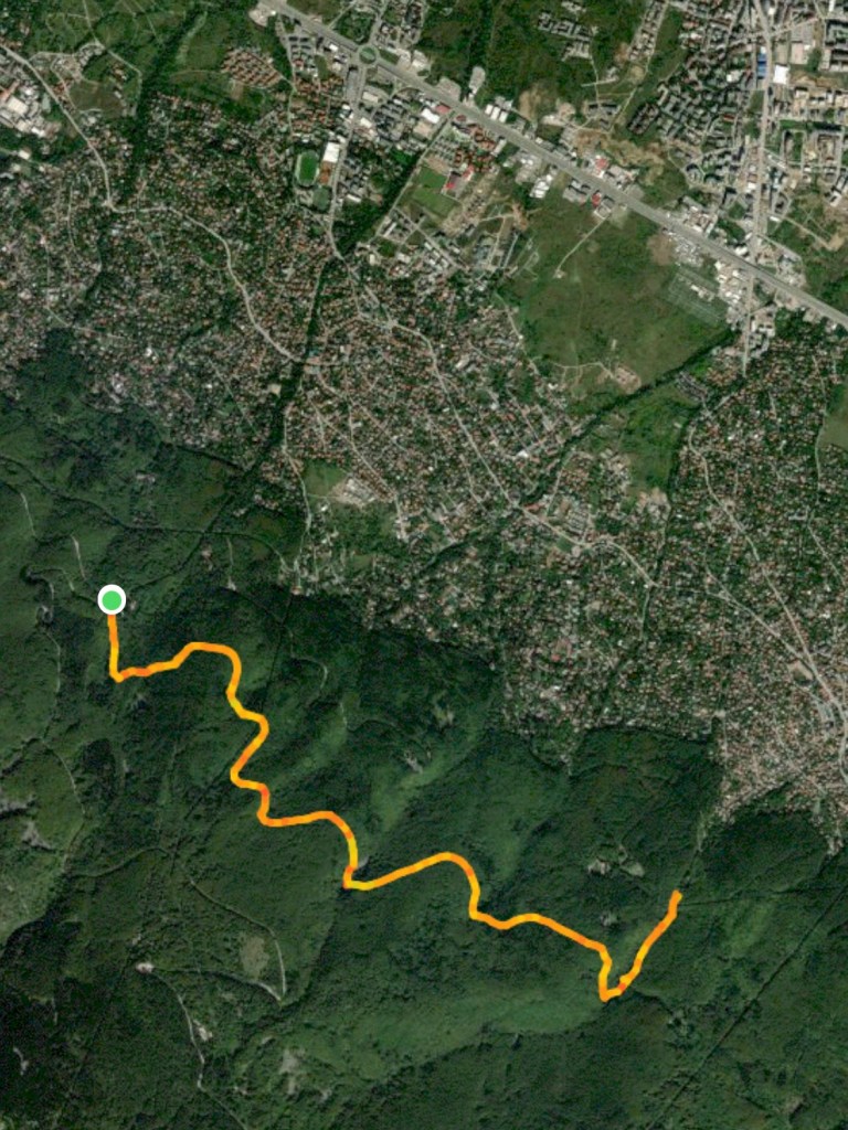
Starting Coordinates: 42.5685, 23.19619
Distance: 8.2 km
Elevation Gain: 475 m
Time: 3¼ hours
Difficulty: moderate-hard
Transport: by car, or by minibus
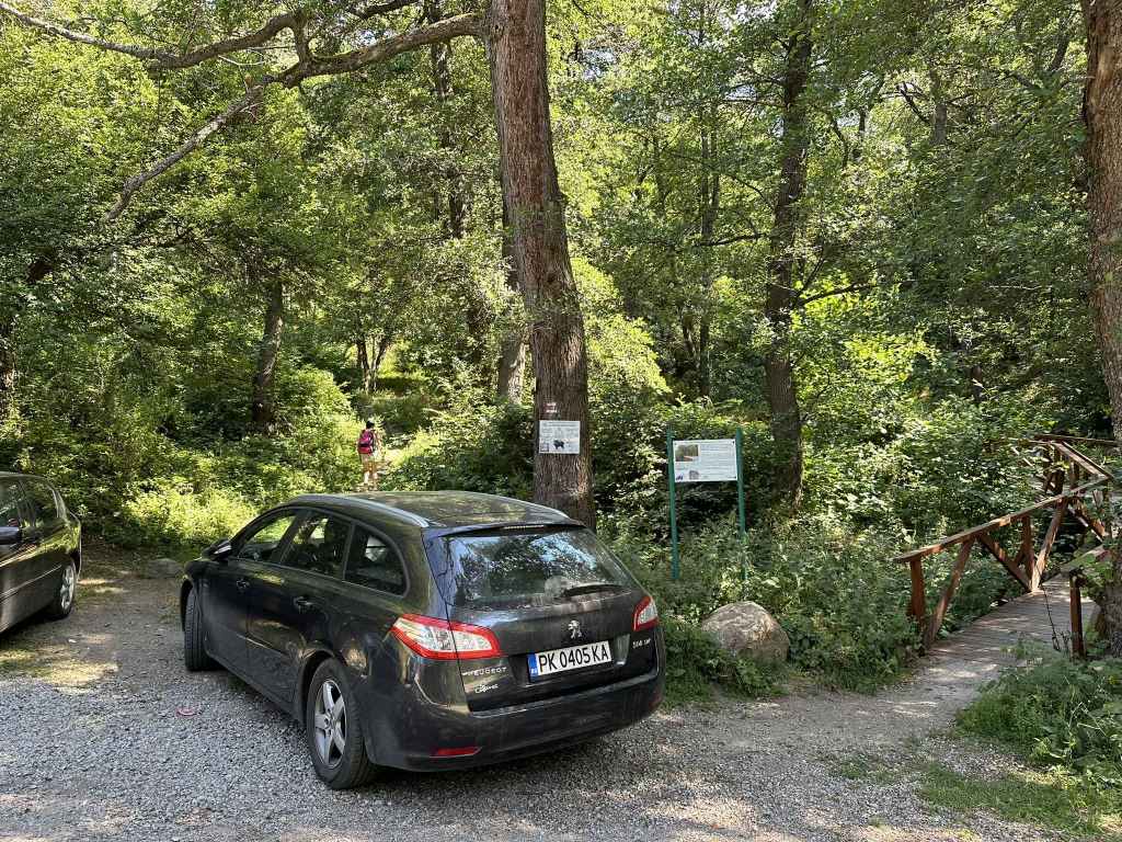
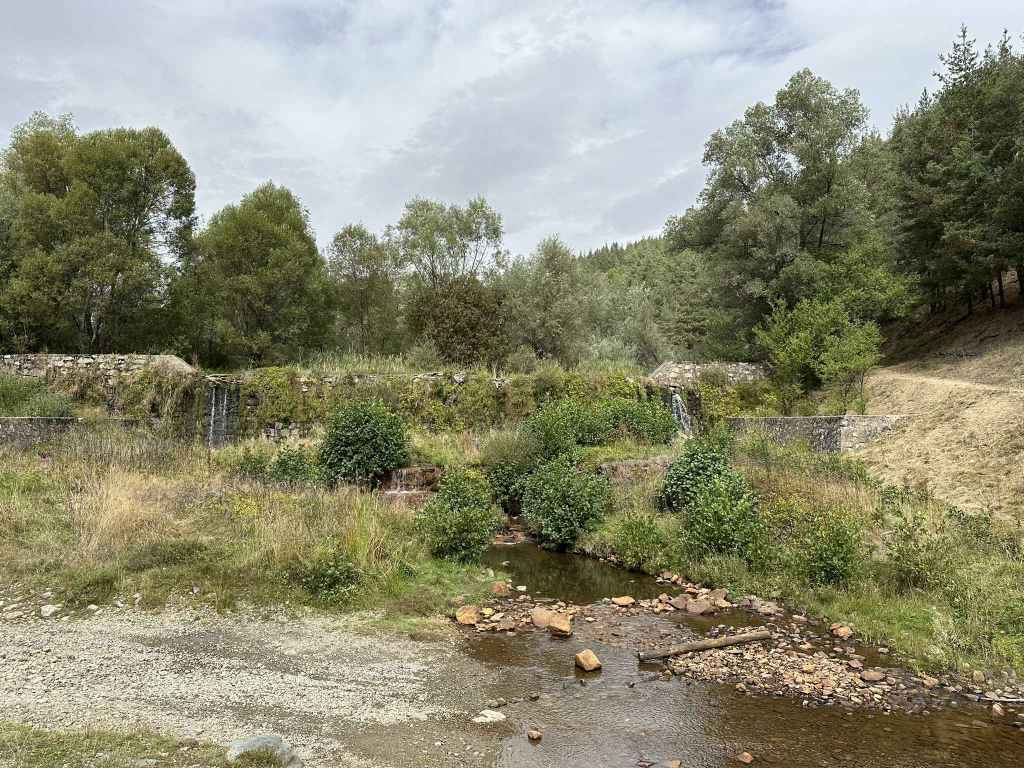
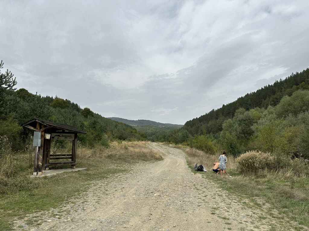
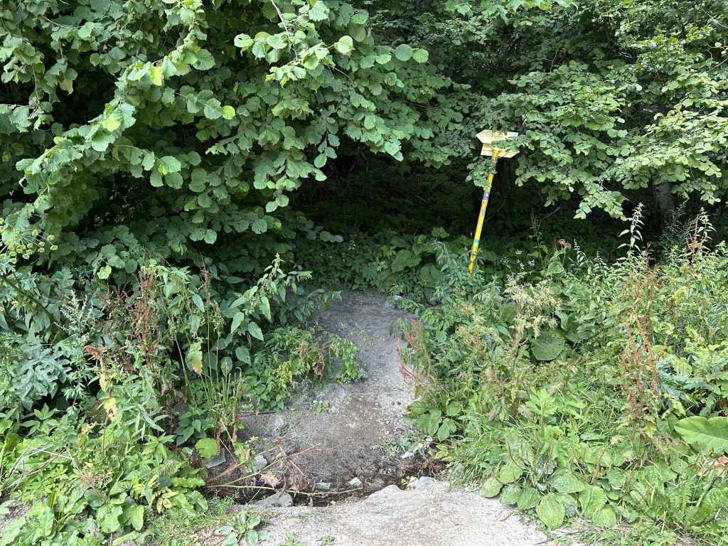
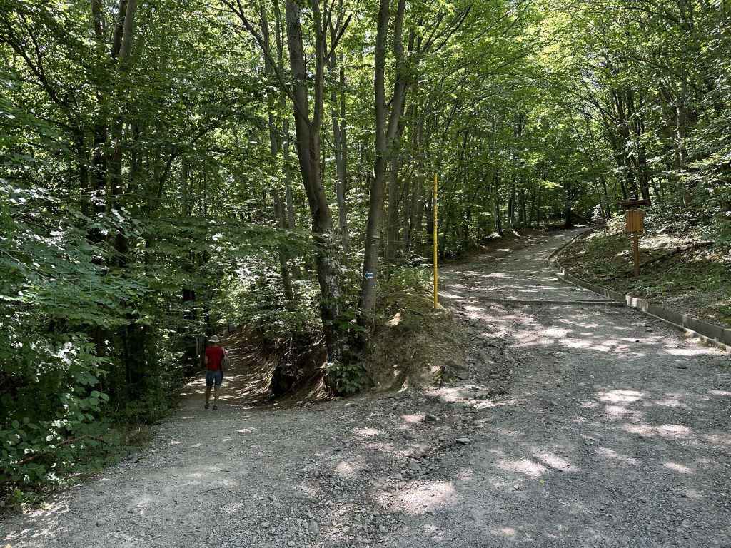
The start of the ecopath, next to the road that leads from Kladnitsa to Kladnitsa Monastery and Selimitsa Hut. 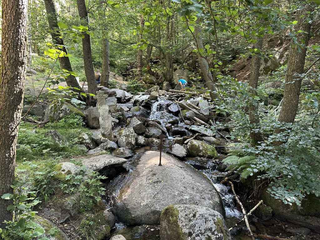
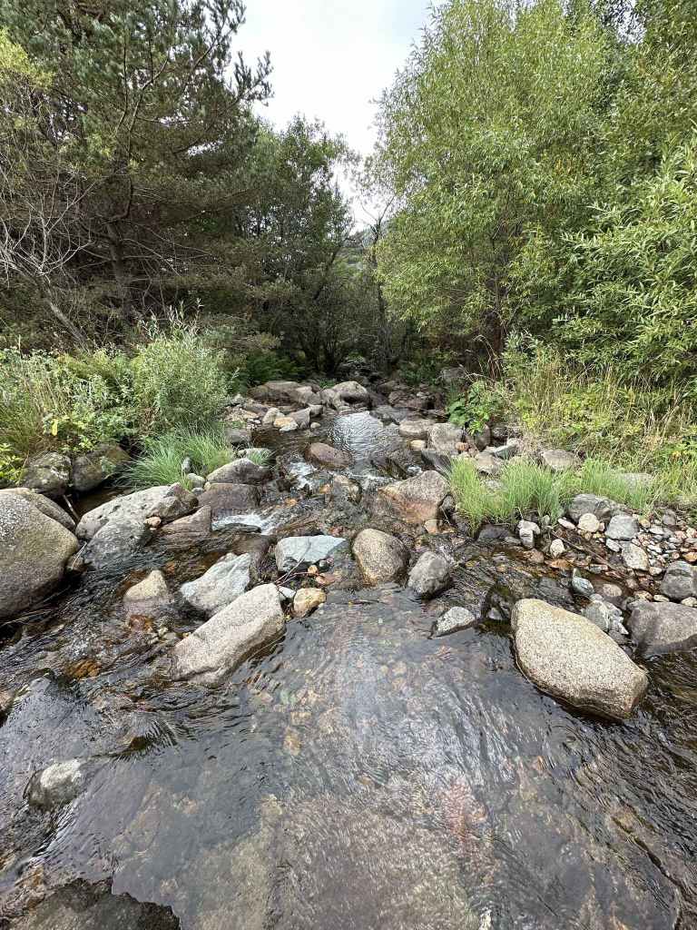
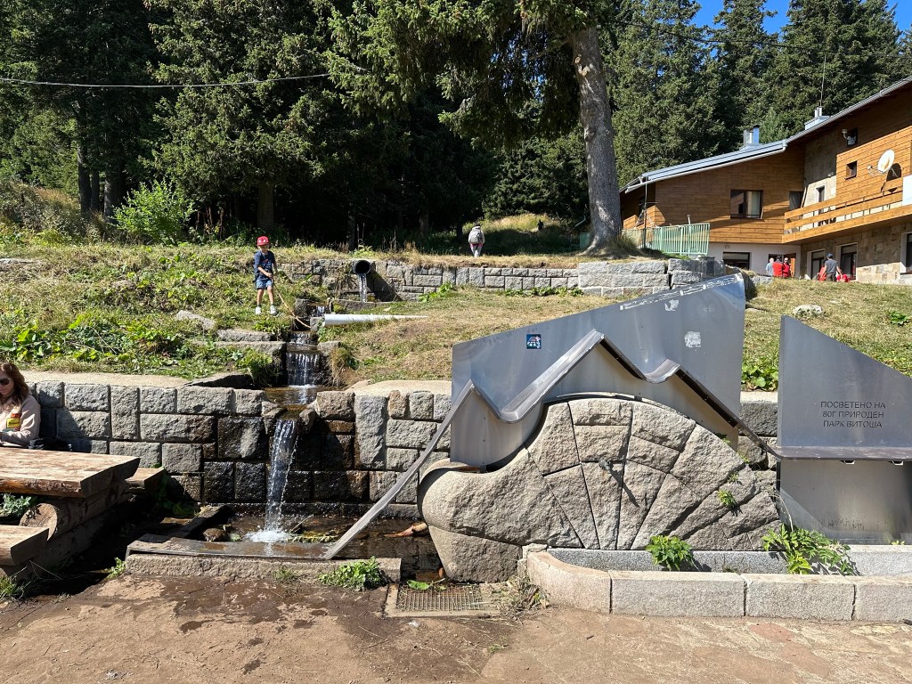
At the start of the walk, the river has three crosses fixed in the stone. 
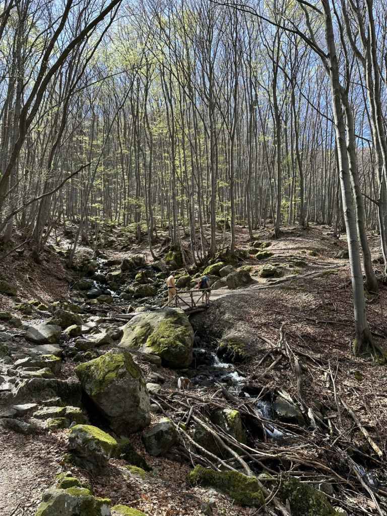
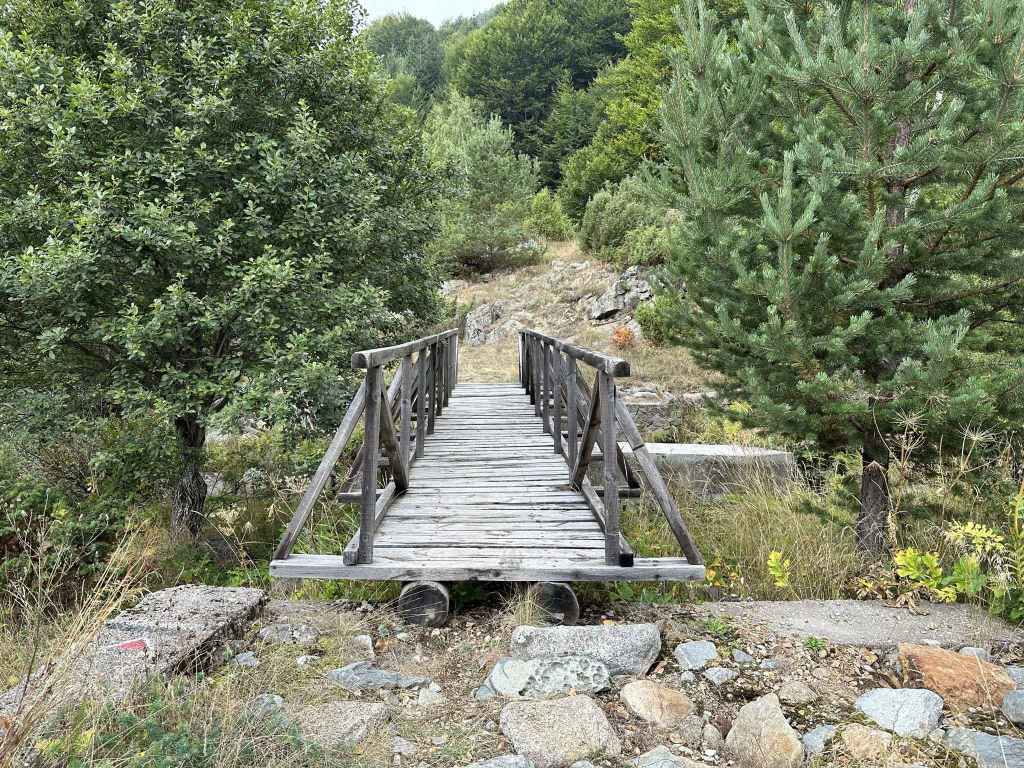
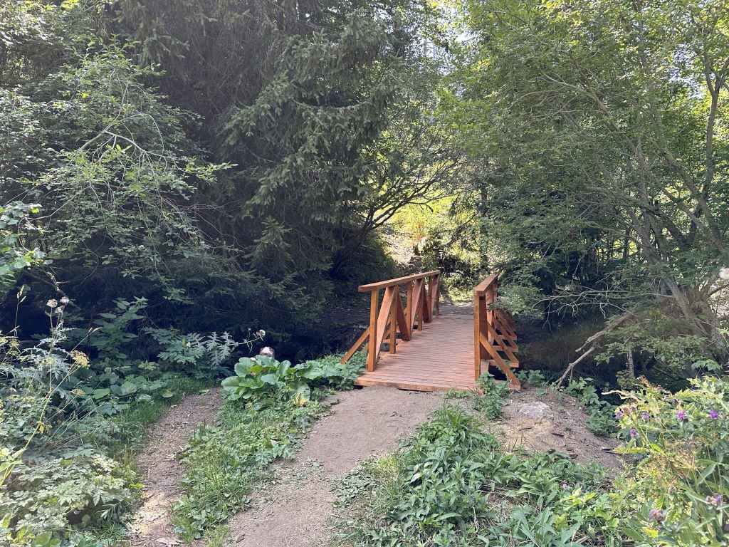
Three successive bridges take you across the river. 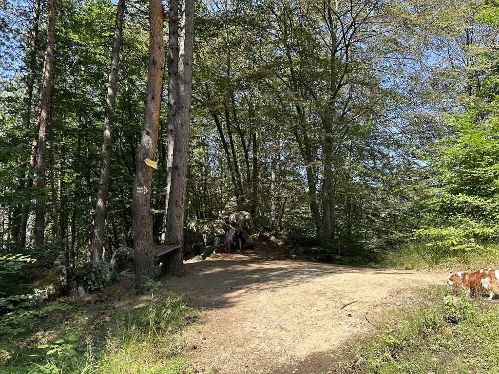
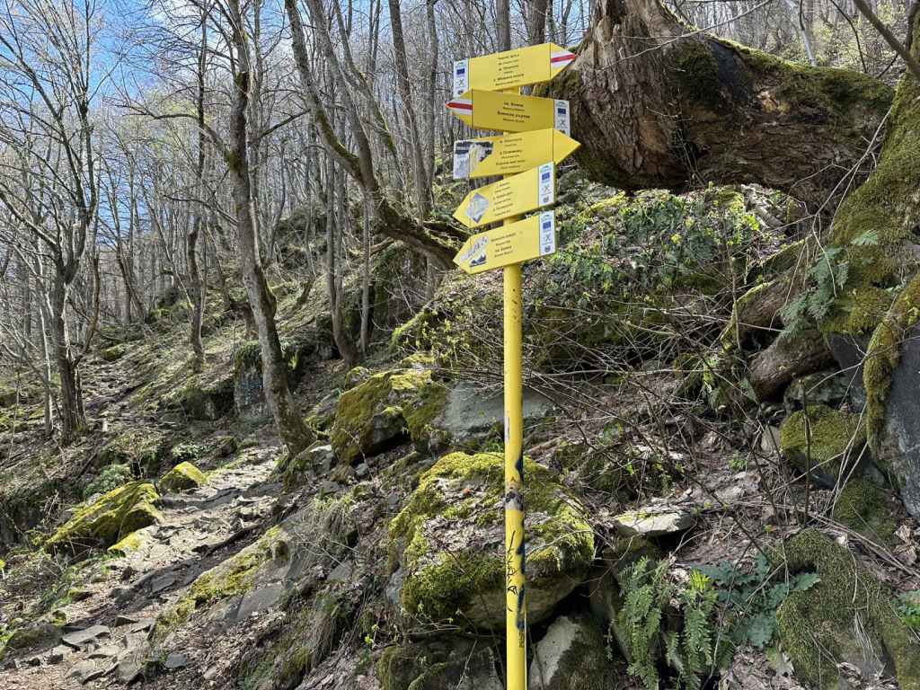
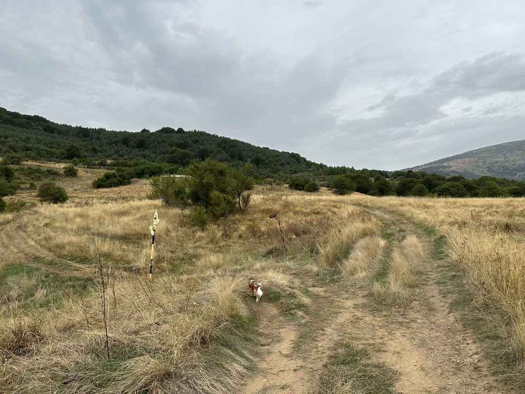
Having crossed the river again, you reach a small clearing. Keep straight. 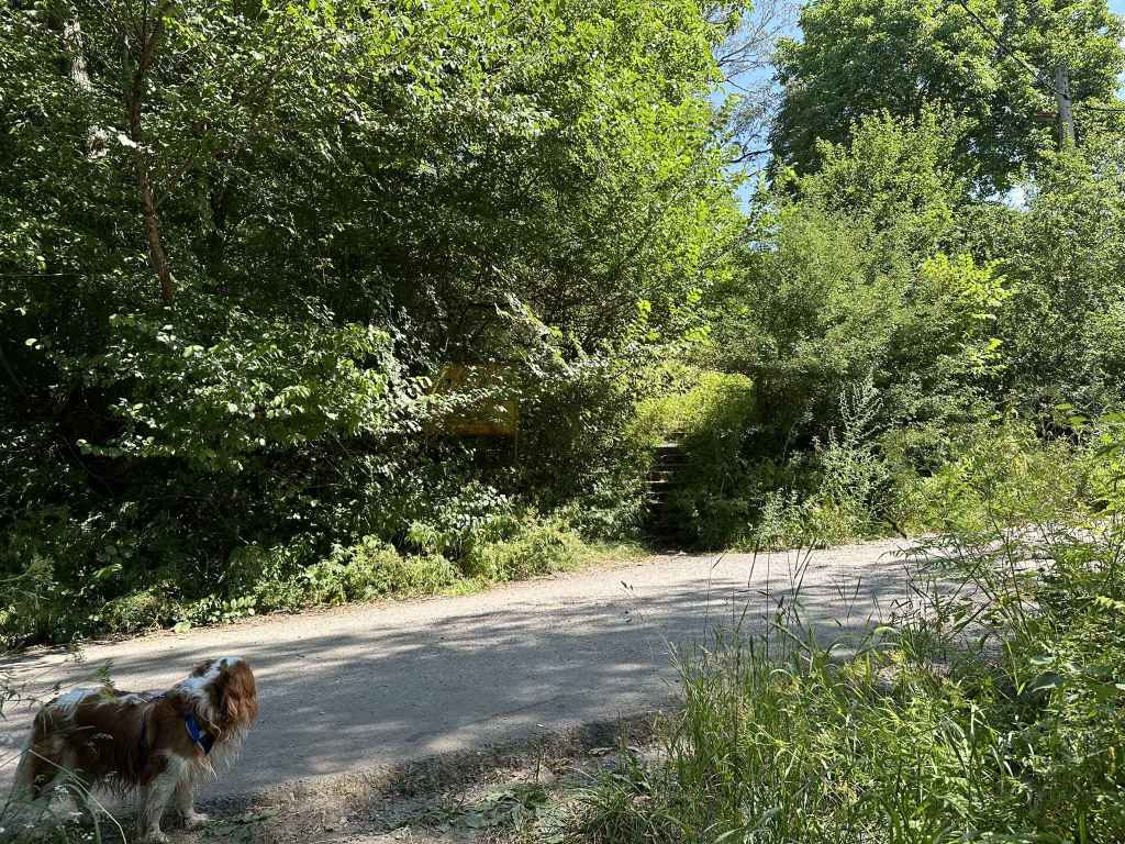
The path rejoins the road to Selimitsa Hut and continues up some steps on the other side. 
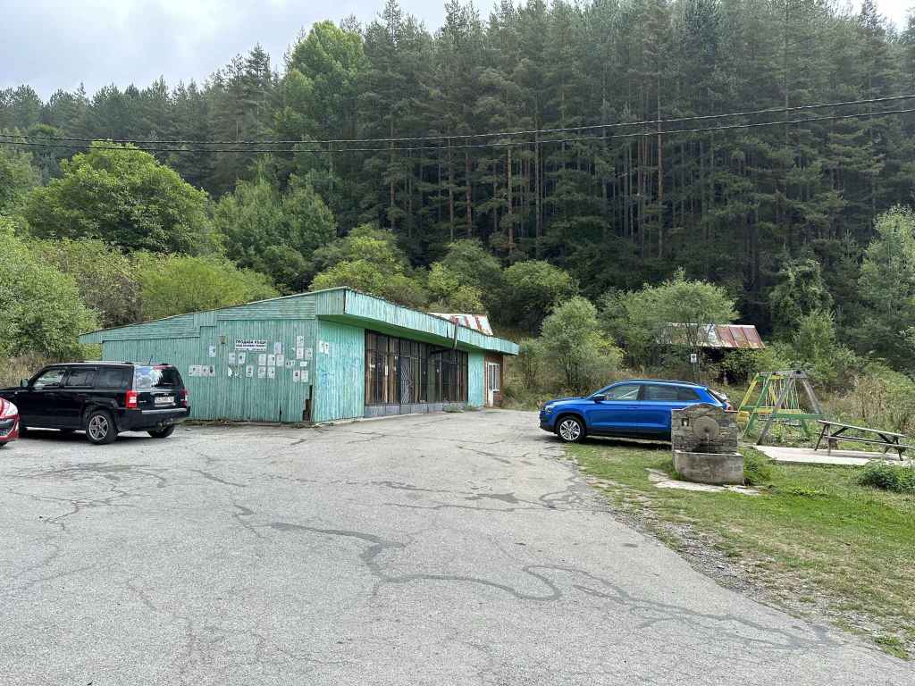
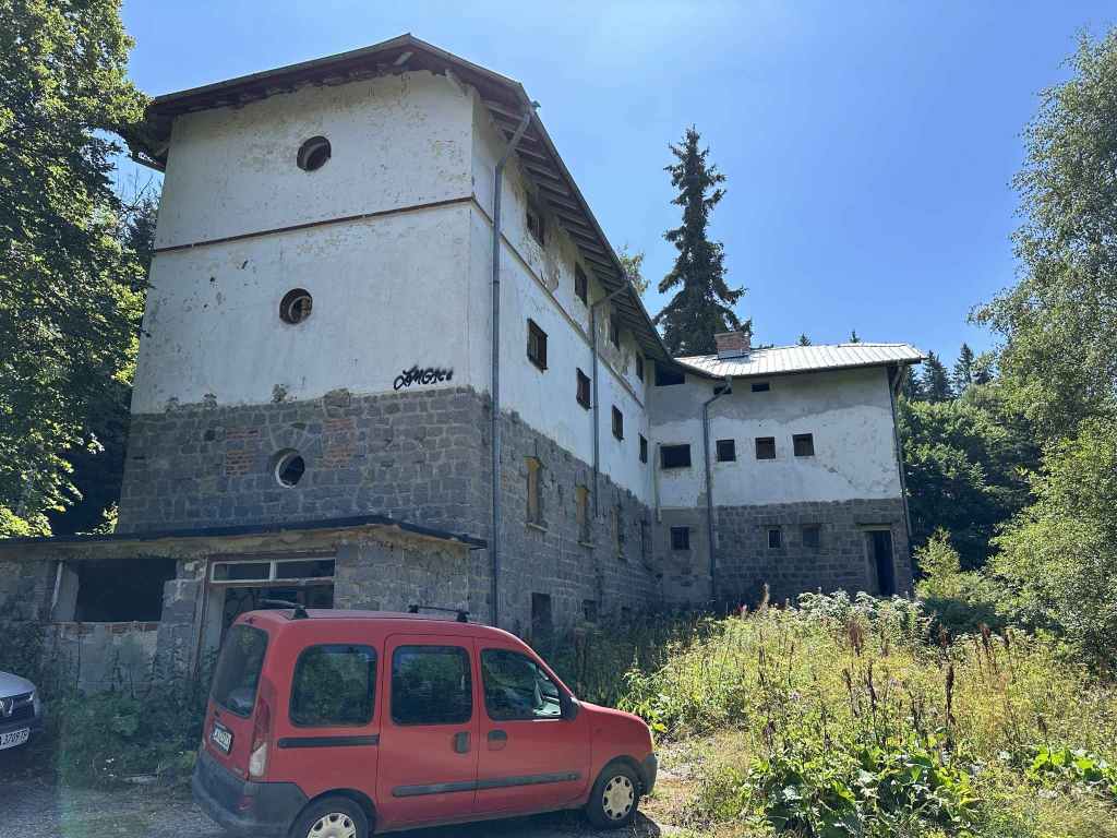
Selimitsa Hut, which offers food. 
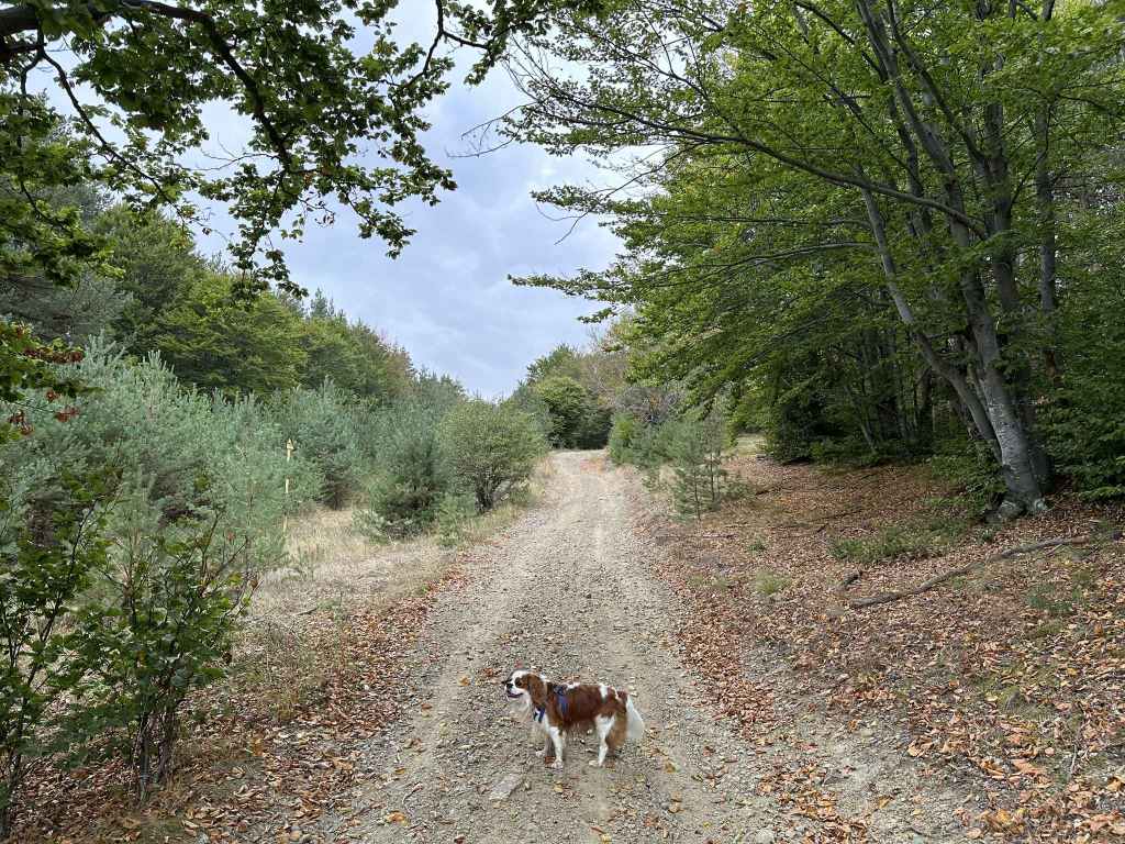
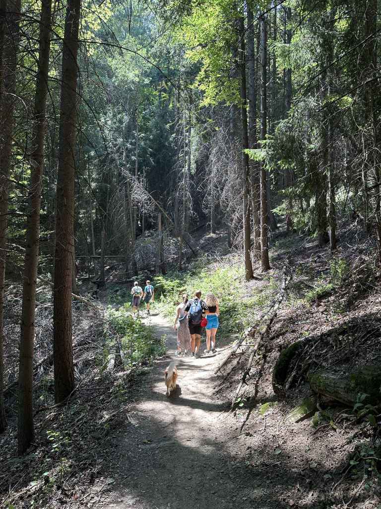
The track enters the forest. 
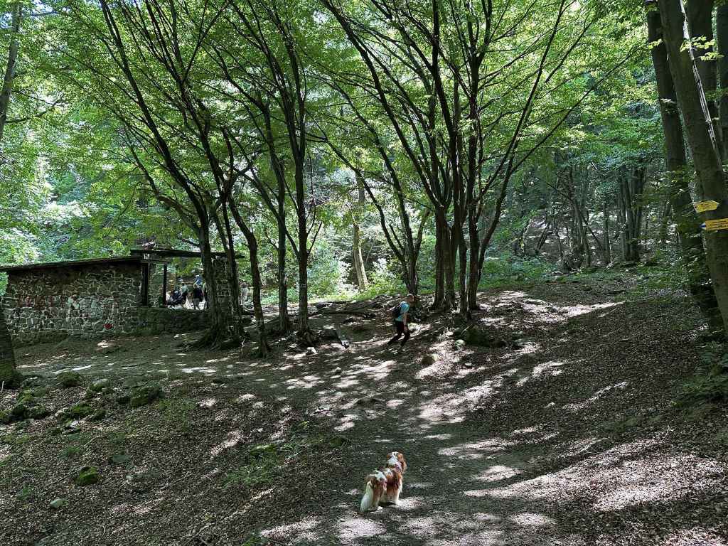
The picnic hut on the left. 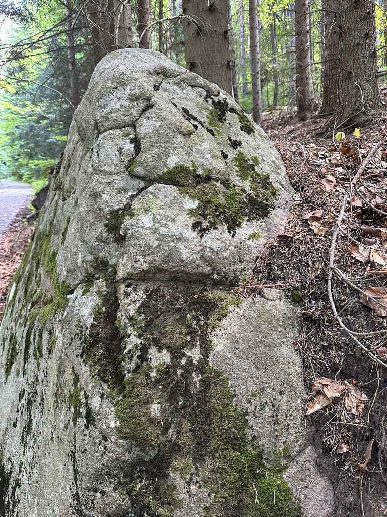
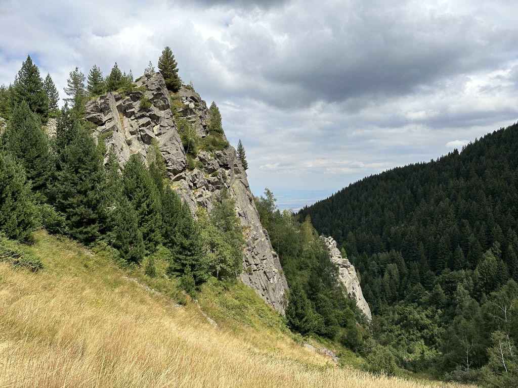
One of the boulders that line the route. 
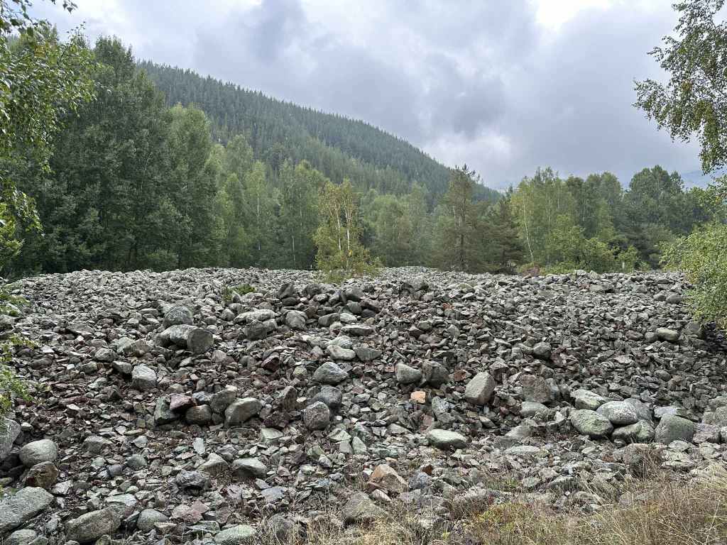
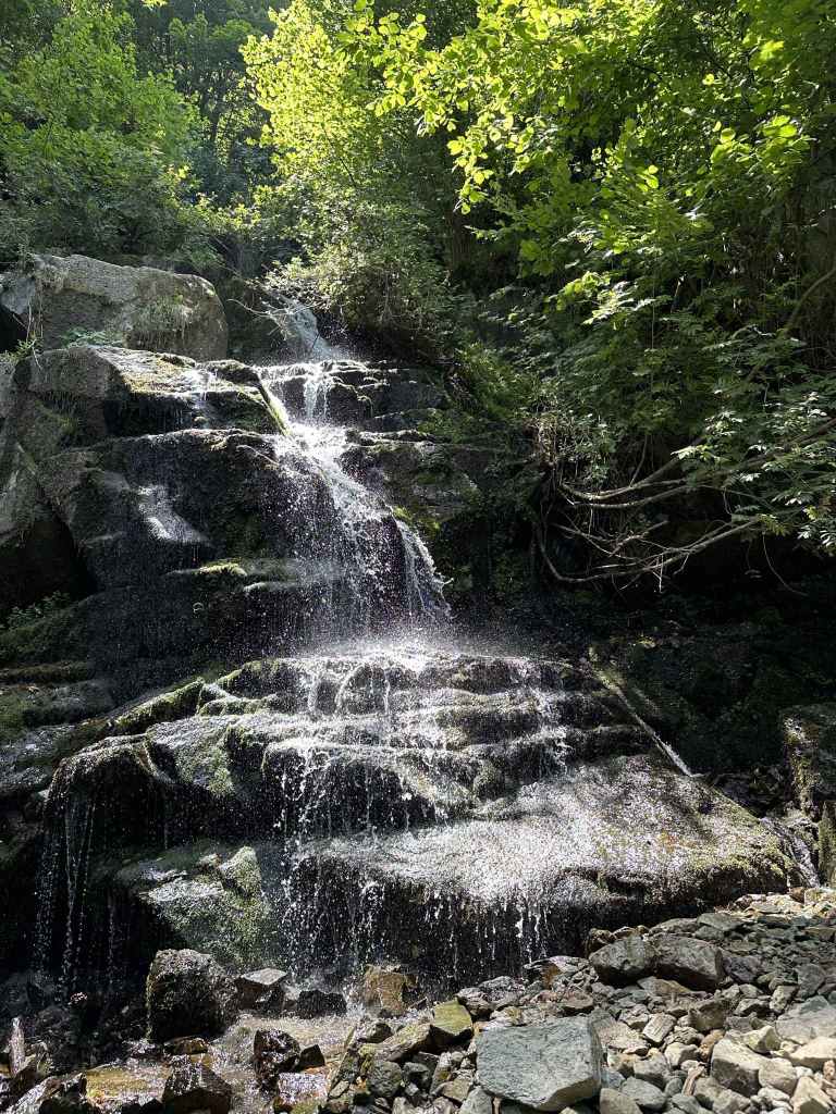
The stone run. 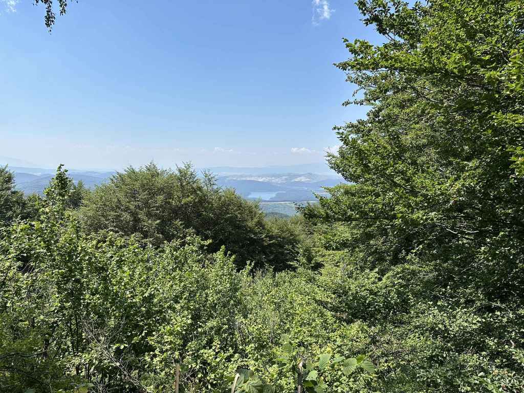
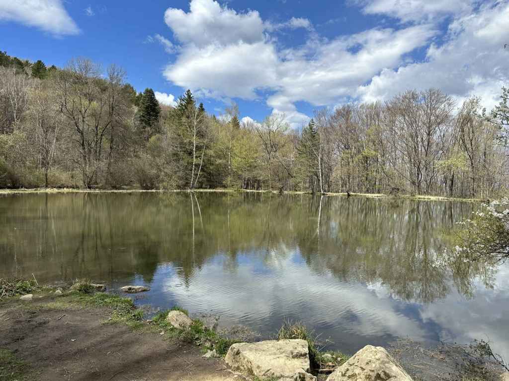
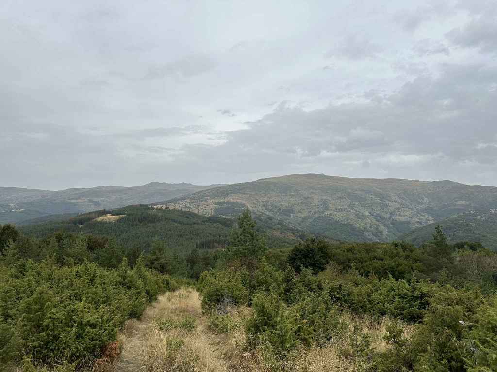
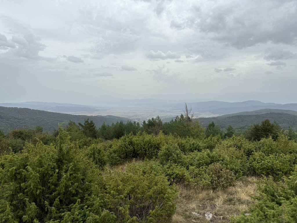
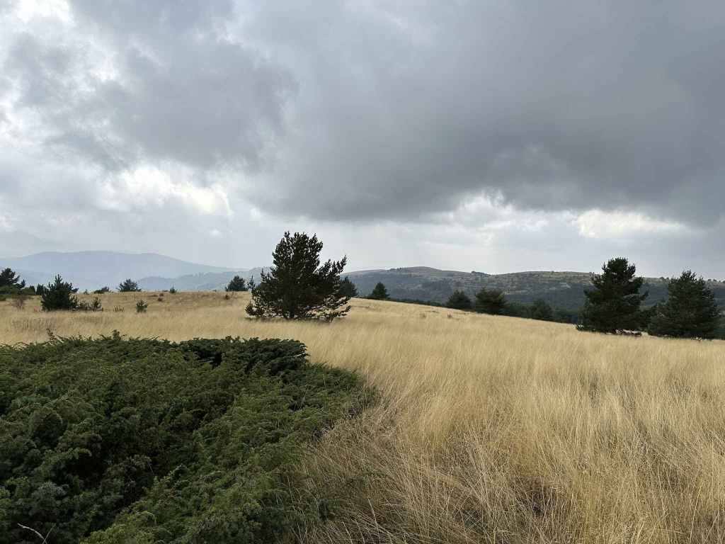
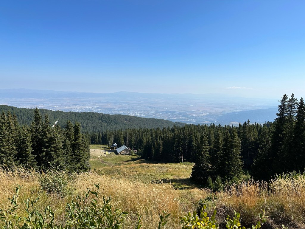
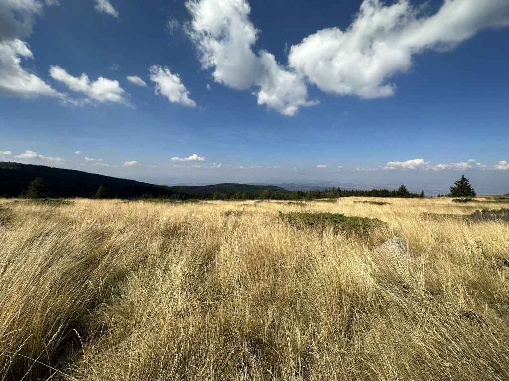
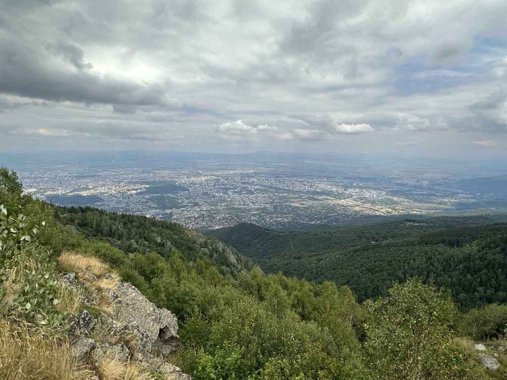
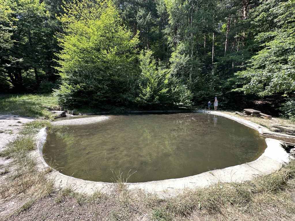
The view of Studena Reservoir. 
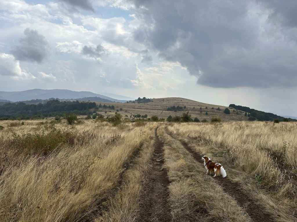
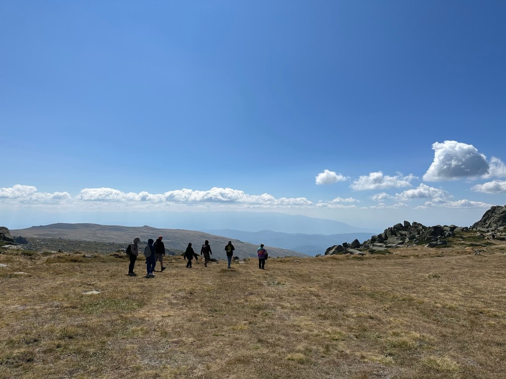
The path reaches the top. Ostritsa Hut is on the right. 
Ostritsa Hut. 
The descent back to where you started. 
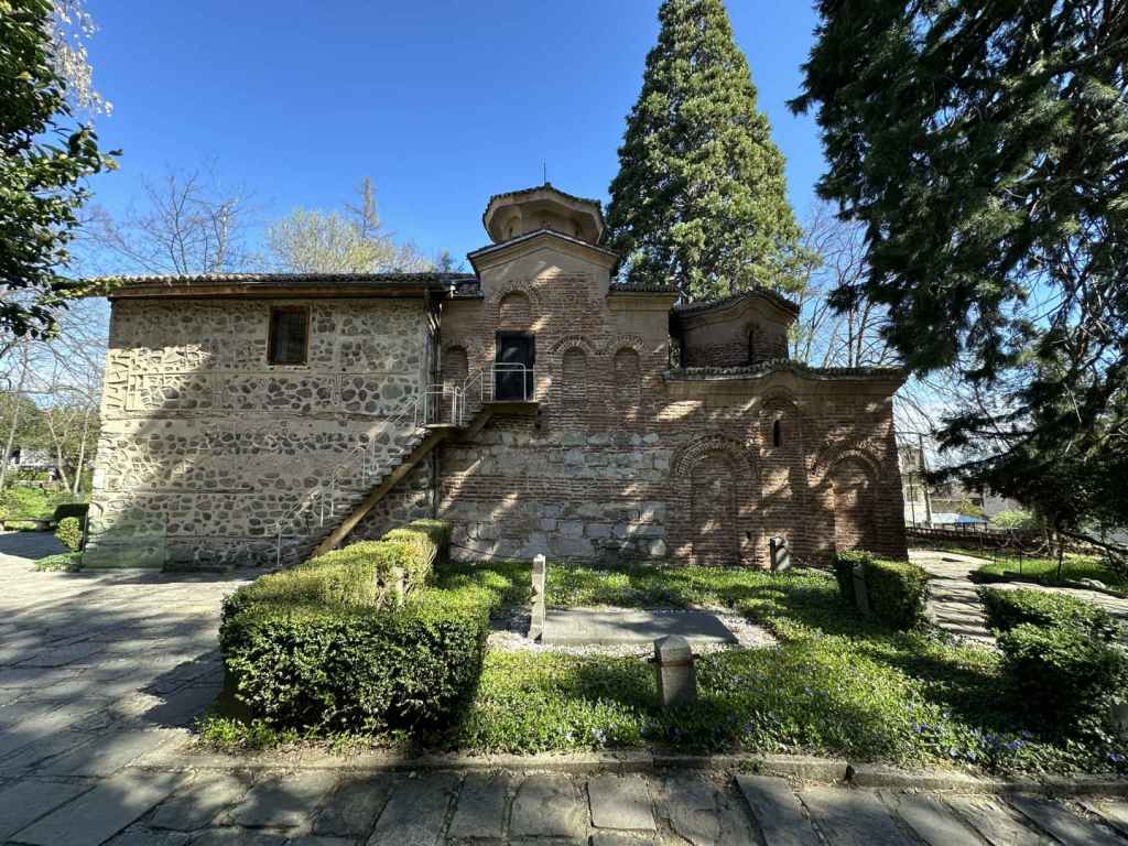
The depiction of the Trinity on the ceiling of the nave in Kladnitsa Monastery.
Kladnitsa, with a population of little more than a thousand, is the highest village on the west side of Vitosha. To get there by car, you must take the road from Sofia to Pernik, which passes through Knyazhevo and Vladaya before arriving at the crest of the hill and descending on the other side. As it reaches the bottom, in a village called Dragichevo, there is a set of traffic lights. Turn left here (it is signposted for Rudartsi, 4 km, and Kladnitsa, 9 km). If you continue straight, you will reach the motorway for Greece, the A3, and then Pernik.
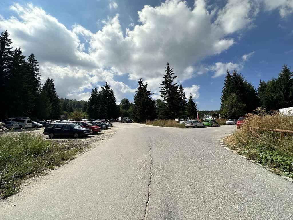
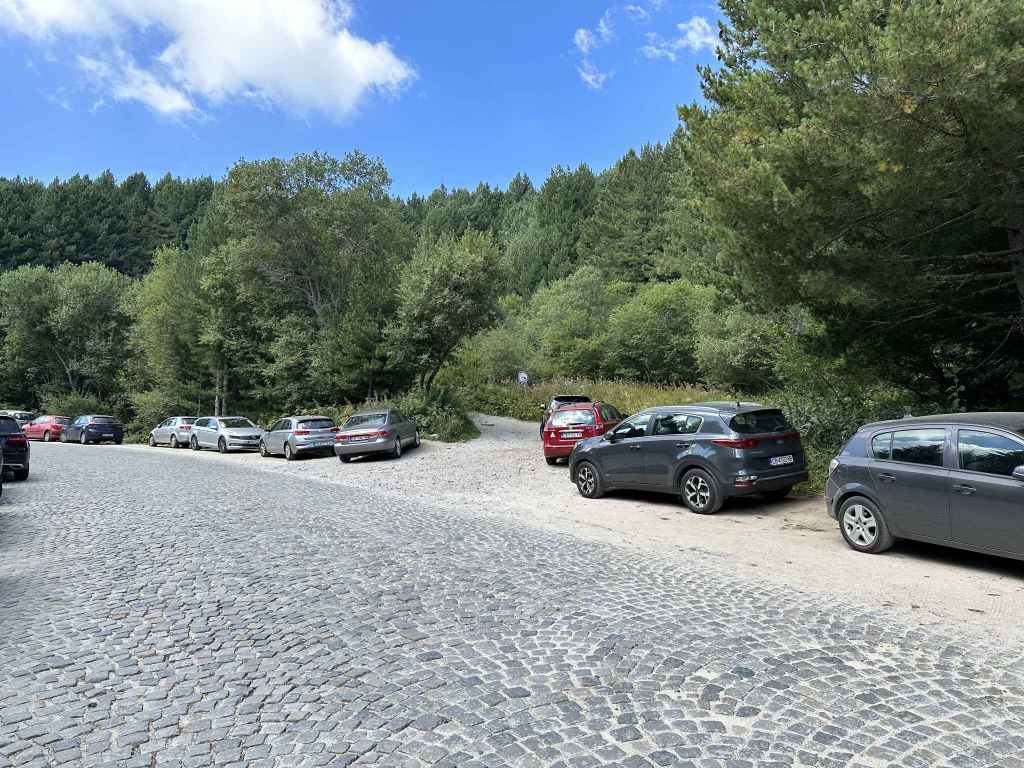
In 1.5 kilometres, you enter Rudartsi. Stay on the same road. In another 4 kilometres, you enter Kladnitsa. 400 metres after entering Kladnitsa, the road veers left, signposted for Kladnitsa Monastery and Selimitsa Hut, and takes you uphill. After one kilometre, you leave the village of Kladnitsa and immediately enter Vitosha Nature Park. Keep going for another 500 metres. As the road turns left, you will see the start of the ecopath. 200 metres after the start of the ecopath is the slip road that leads to Kladnitsa Monastery. There is a very small area to park your car just after the start of the ecopath, otherwise people tend to park on the verge. It can be quite busy at weekends in summer.
There is a minibus that goes to Kladnitsa from the Russian Monument in Sofia once an hour, during the daytime. The 21 bus also goes there from Pernik. The buses stop in the main square in Kladnitsa, where the chitalishte (community centre) is. From here, you need to head eastwards, and soon the road will take you out of Kladnitsa and into Vitosha Nature Park.
The ecopath is known as the “path of health”. It leads straight up from the road. The river should be on your right. In 200 metres, you cross the river on three separate bridges and continue on the other side. In another 200 metres, you again cross the river, but this time the path leaves the river behind and soon reaches a clearing with a bench between two tree trunks. You continue straight here (signposted for Cherni Vrah and Selimitsa Hut). In 200 metres, a small bridge takes you over a stream, and you become aware of the road you were on up on your left. The path crosses the same stream again, and 1.1 kilometres after the start of the ecopath you rejoin the road at Selimitsa Hut. There is a car park further down on your left.
The path continues on the other side of the road, up some steps, and in a couple of minutes you arrive at Selimitsa Hut, which is a popular place for eating. If you don’t have food with you, you want to bear in mind that Ostritsa Hut is not working, so this is your only chance to grab a bite to eat on the route.
The path heads behind the hut (where the kitchens are) and joins a track. At the track, turn left and continue climbing past some wonderfully located houses. 300 metres after the hut, the track veers right and enters the forest. This track will now take you to Ostritsa Hut, the highest point on this walk.
I have marked the walk as “moderate-hard” not because of the distance, but because of the elevation gain (475 metres over 4.2 kilometres). You are constantly climbing. I always think it’s a question of not being anxious to arrive somewhere, but simply going at your own pace, putting one foot in front of the other. That’s all anyone does, isn’t it? And humans have achieved great things by putting one foot in front of the other and being patient.
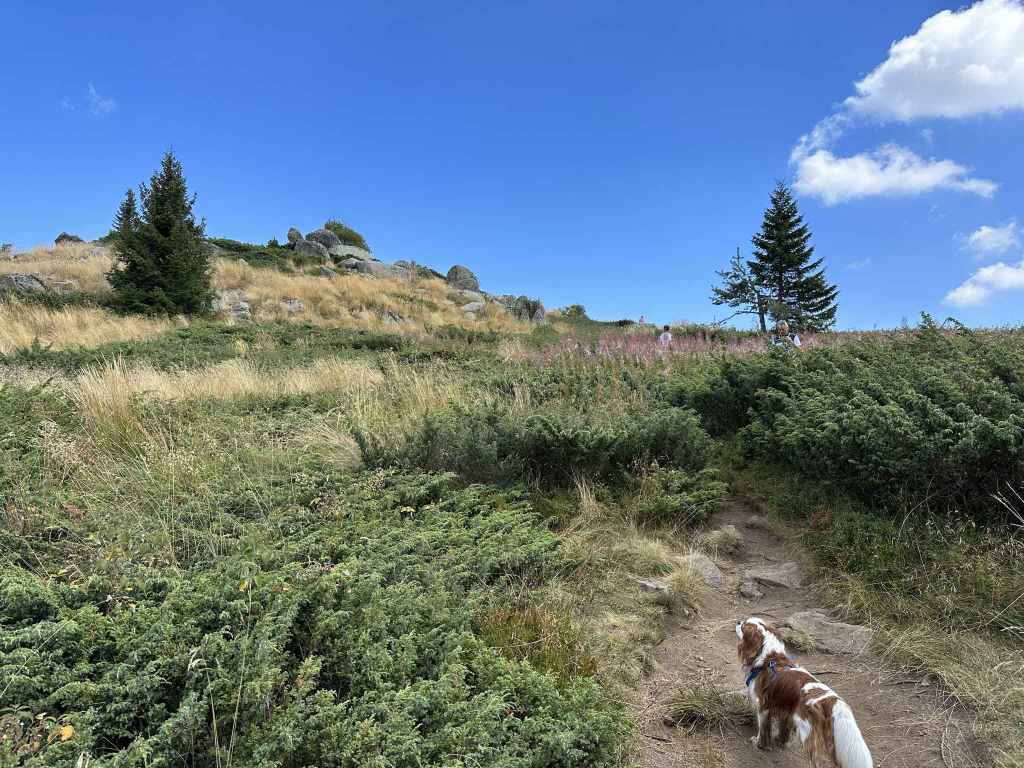
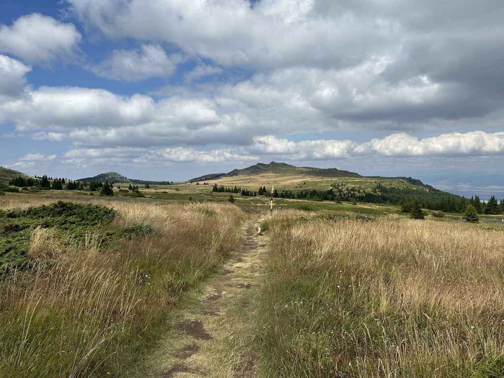
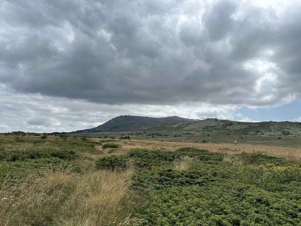
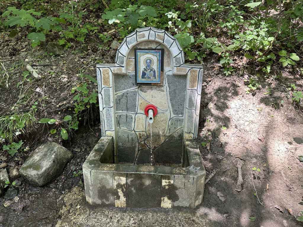
Very soon on the left is a picnic hut, with a small fountain behind it (only trickling water). Fifteen minutes after the picnic hut, there is a stone run, one of those moraine rivers that are so characteristic of Vitosha (and of the Falklands, apparently). Another 200 metres, and there is a wonderful view to the south-west of Studena Reservoir. Another ten minutes, and there is another small fountain on the right, this one without any water. One more kilometre, and you reach the top, with Ostritsa Hut on your right. You are now not far from the walk that begins at Ofeliite.
Unfortunately, Ostritsa Hut doesn’t work, but I still ate my lunch, sitting by the hut and the grassy slope that leads to Ostritsa Peak. I then headed back down the way I had come. What makes this path so worthwhile is the beauty of the path itself, which is mostly shaded, the views to the south-west, and the numerous boulders that line the route. You are also on a less frequented part of the mountain.
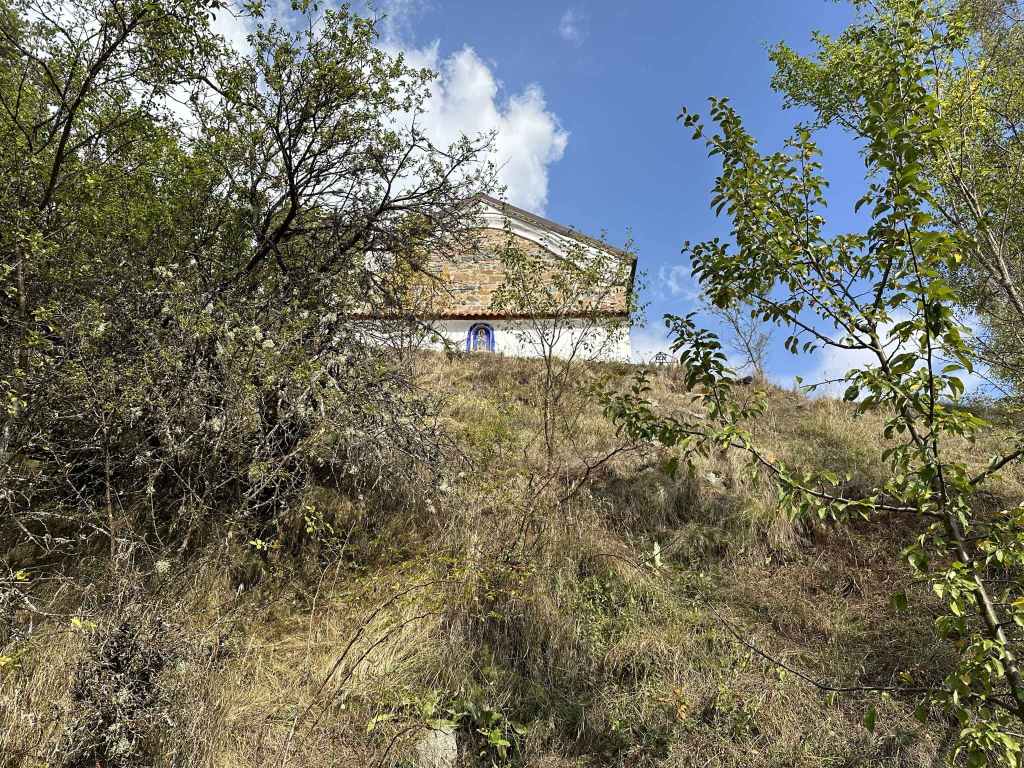
Back at the bottom, do make time to visit Kladnitsa Monastery, dedicated to St Nicholas, which is only 200 metres further up the road and has a very distinctive depiction of the Trinity on the ceiling of the nave.