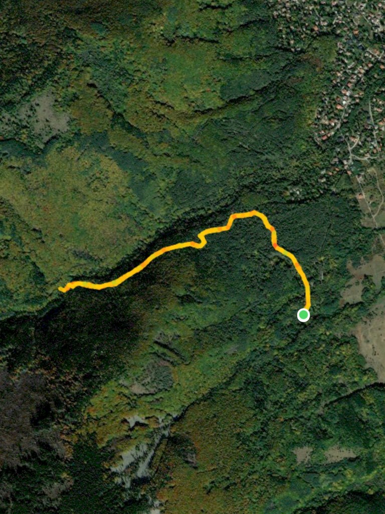
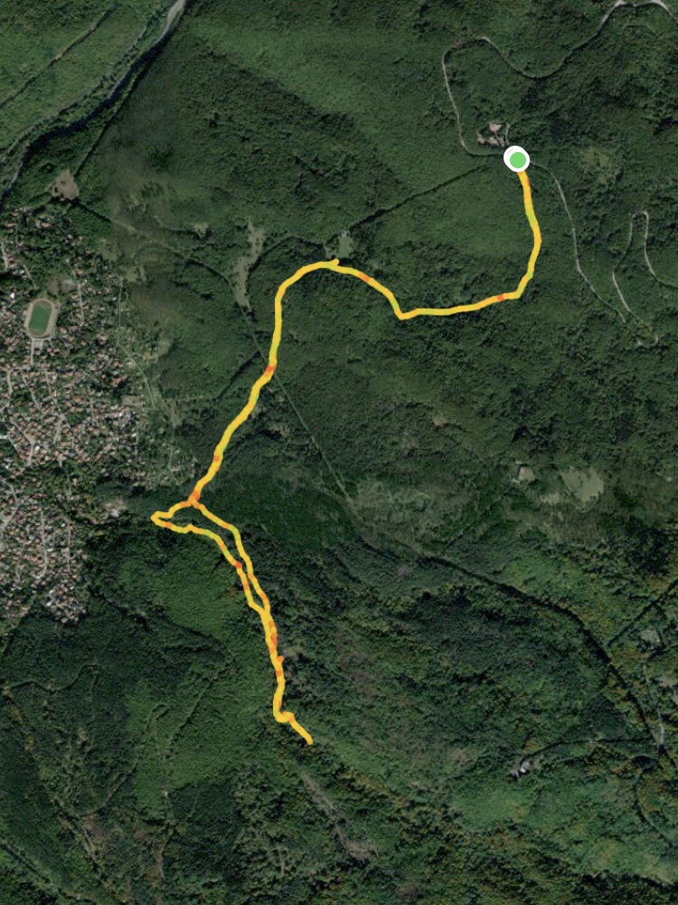
Starting Coordinates: 42.63187, 23.22493
Distance: 7.0 km
Elevation Gain: 310 m
Time: 2¾ hours
Difficulty: Moderate
Transport: by car, or by bus no. 63 to Tihiya Kat
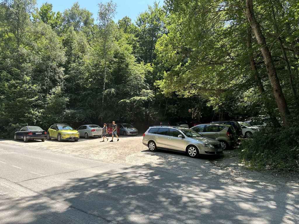
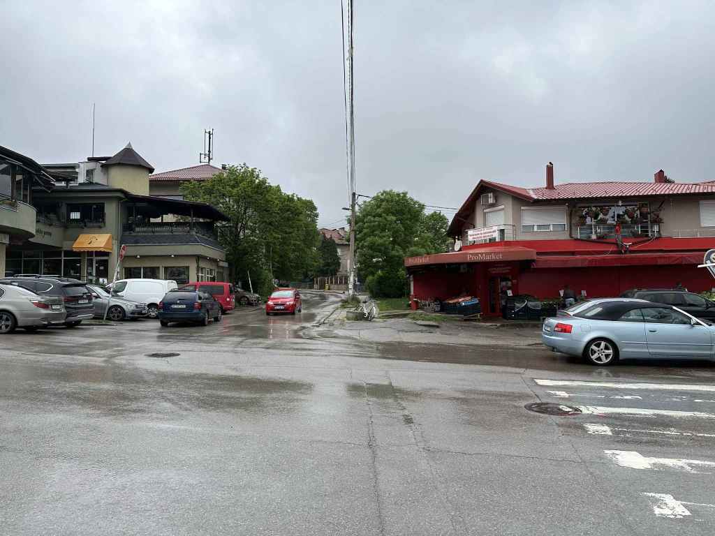
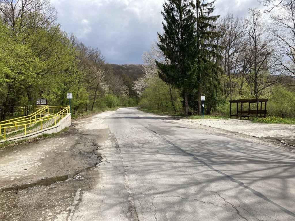
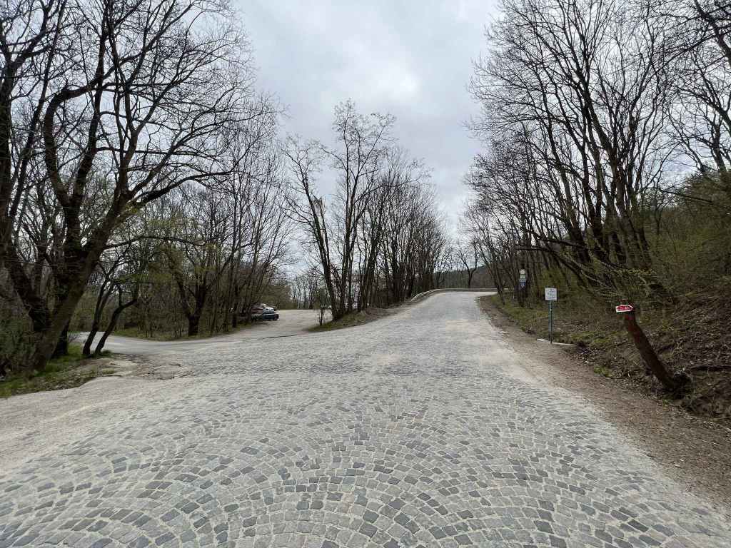
The car park on the right of the road just before it makes a 180-degree turn. 
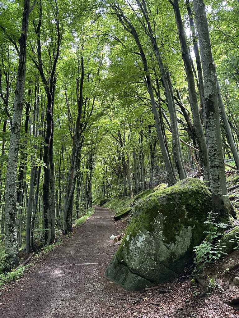
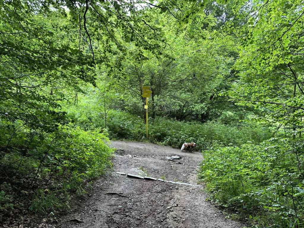
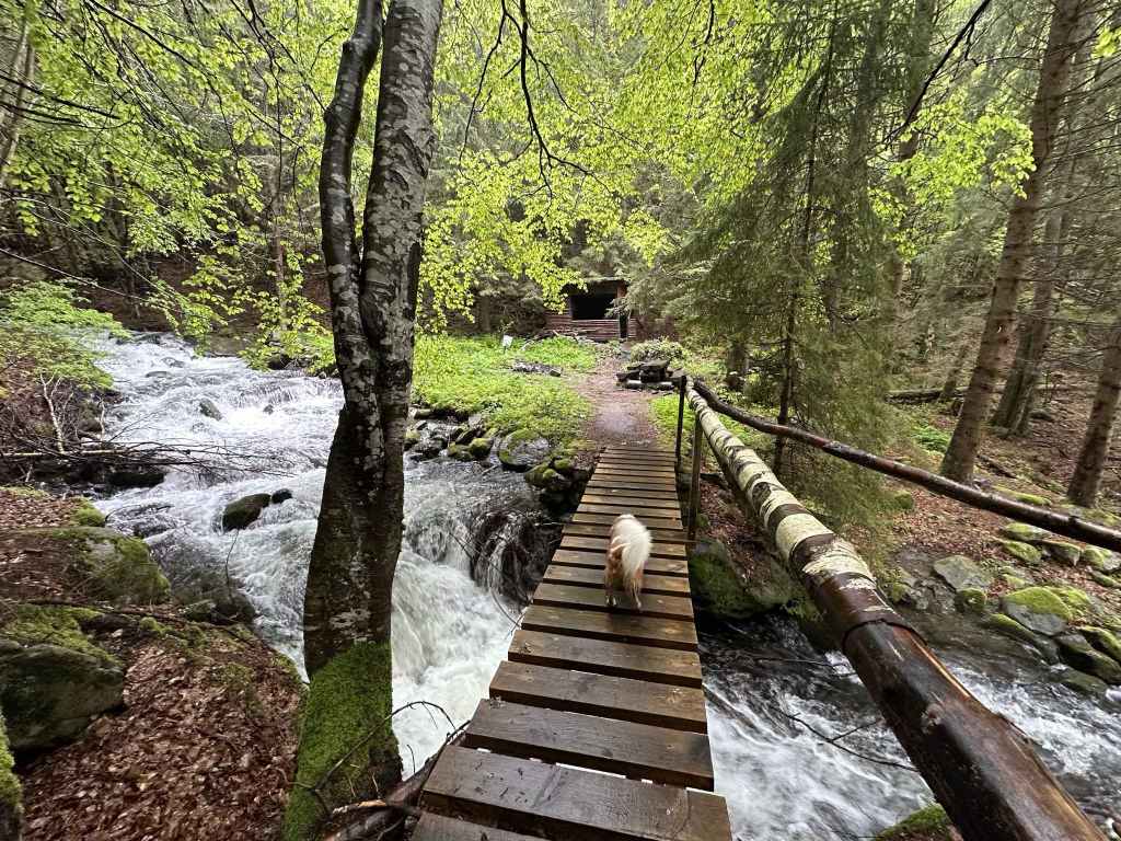
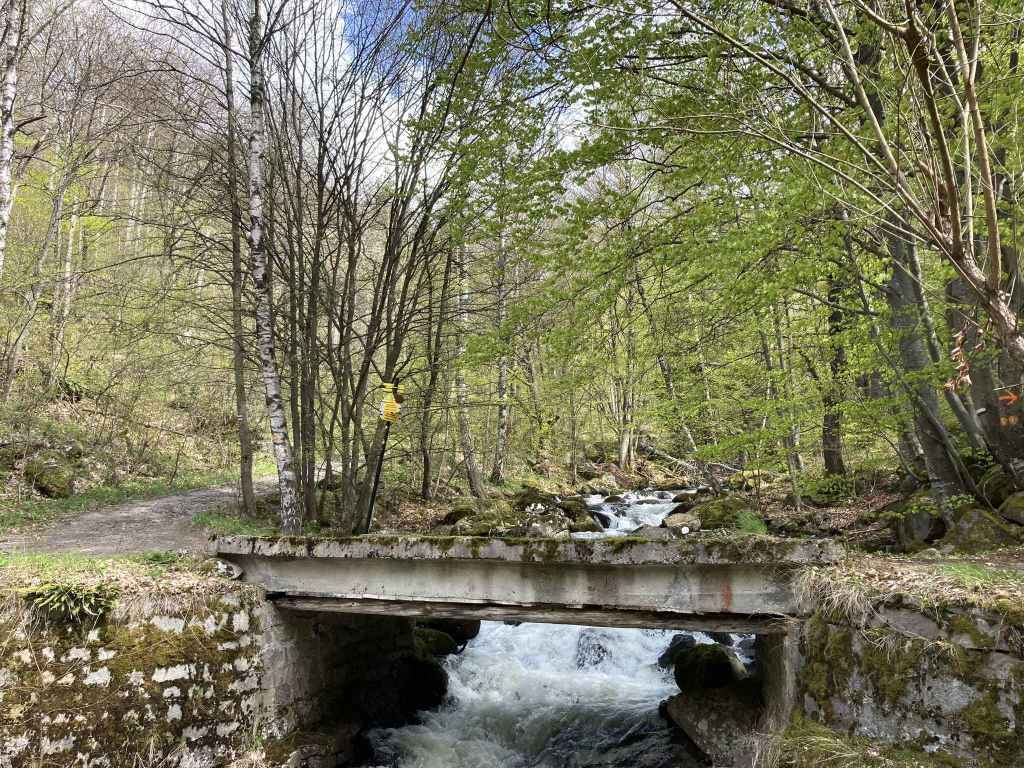
The little bridge at the start of the path that climbs the mountain. 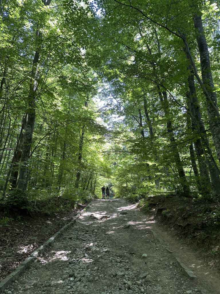
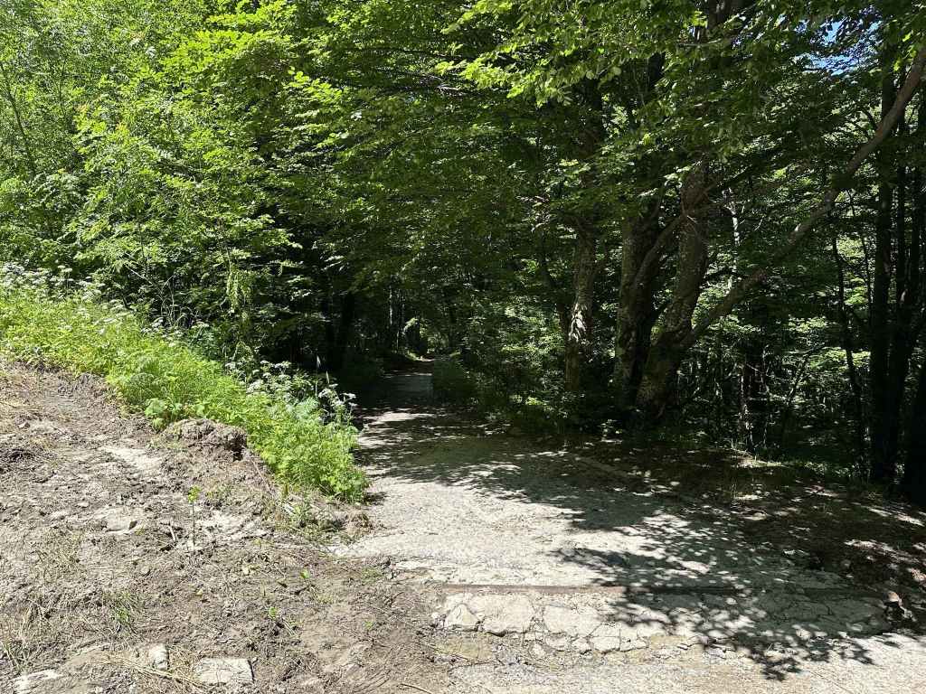
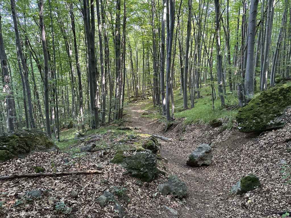
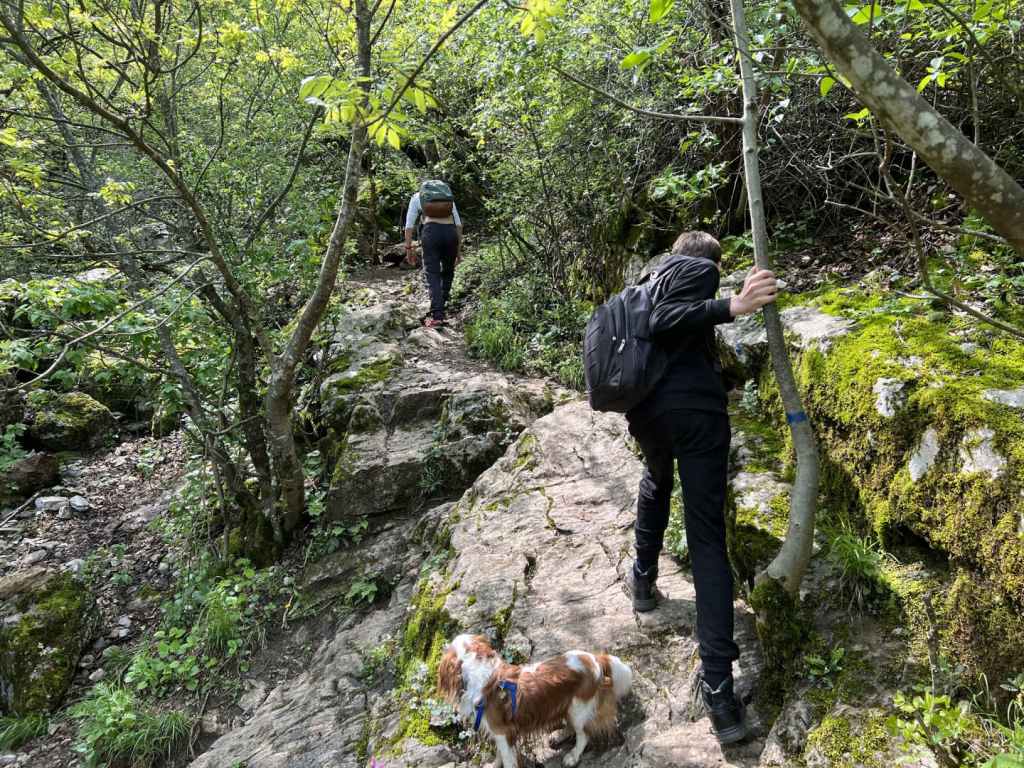
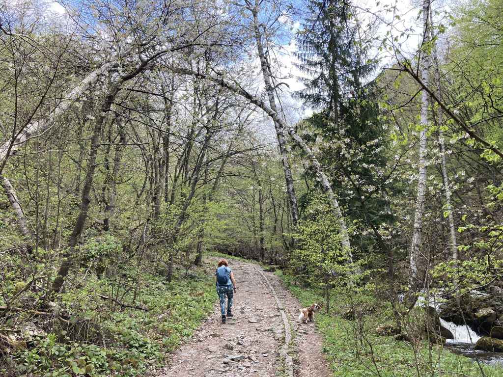
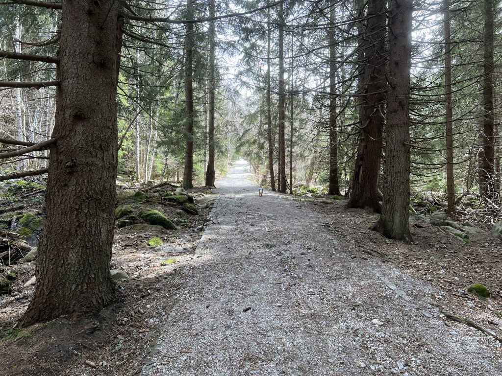
The path up the mountain. 
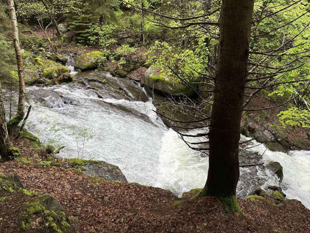
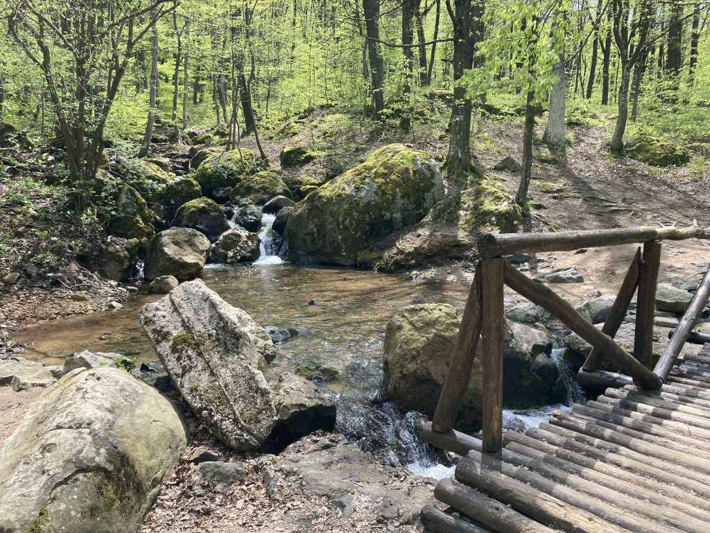
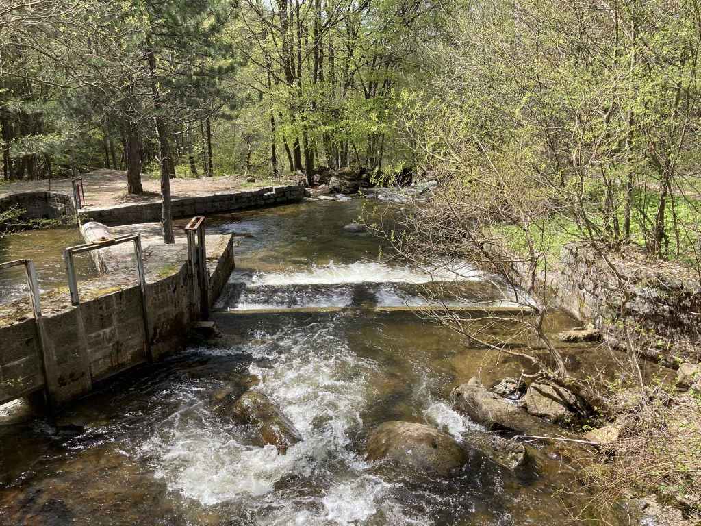
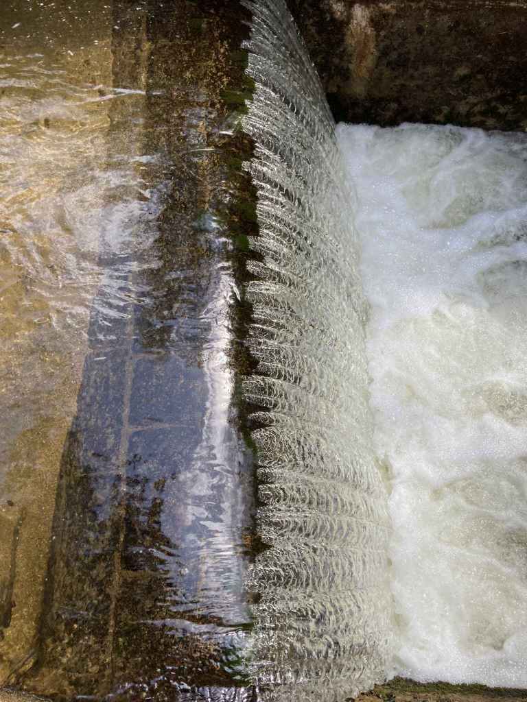
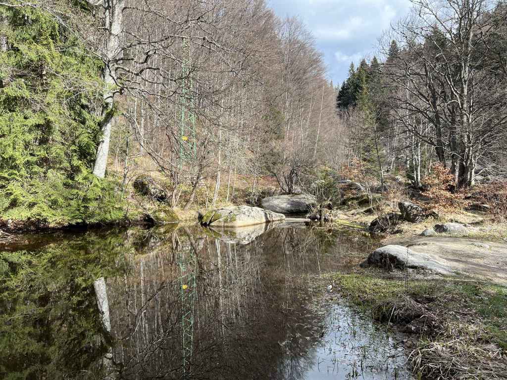
The stream that runs next to the path. 
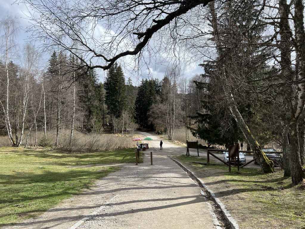
The path rejoins the main road and continues opposite. 
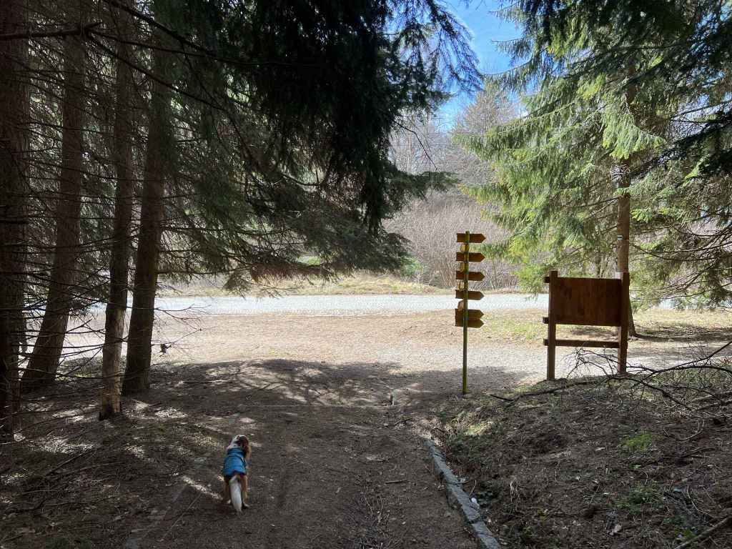
After 5-10 minutes, there is a crossroads. The path on the left is the one you will come back on. 
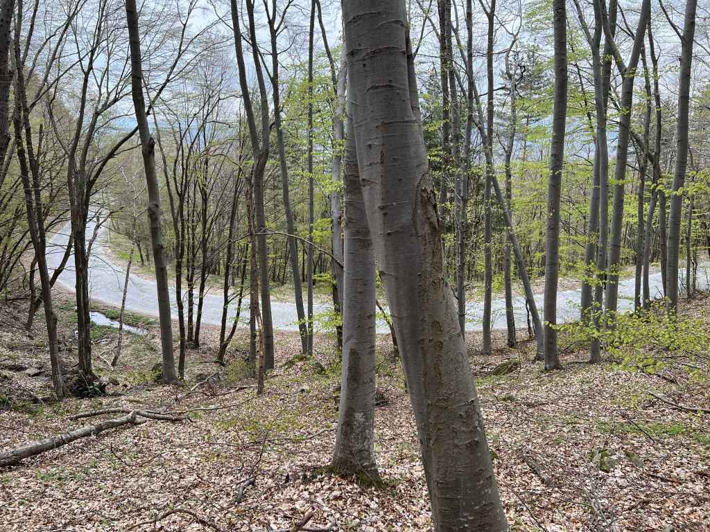
The path joins the road between Zlatni Mostove and Momina Skala. 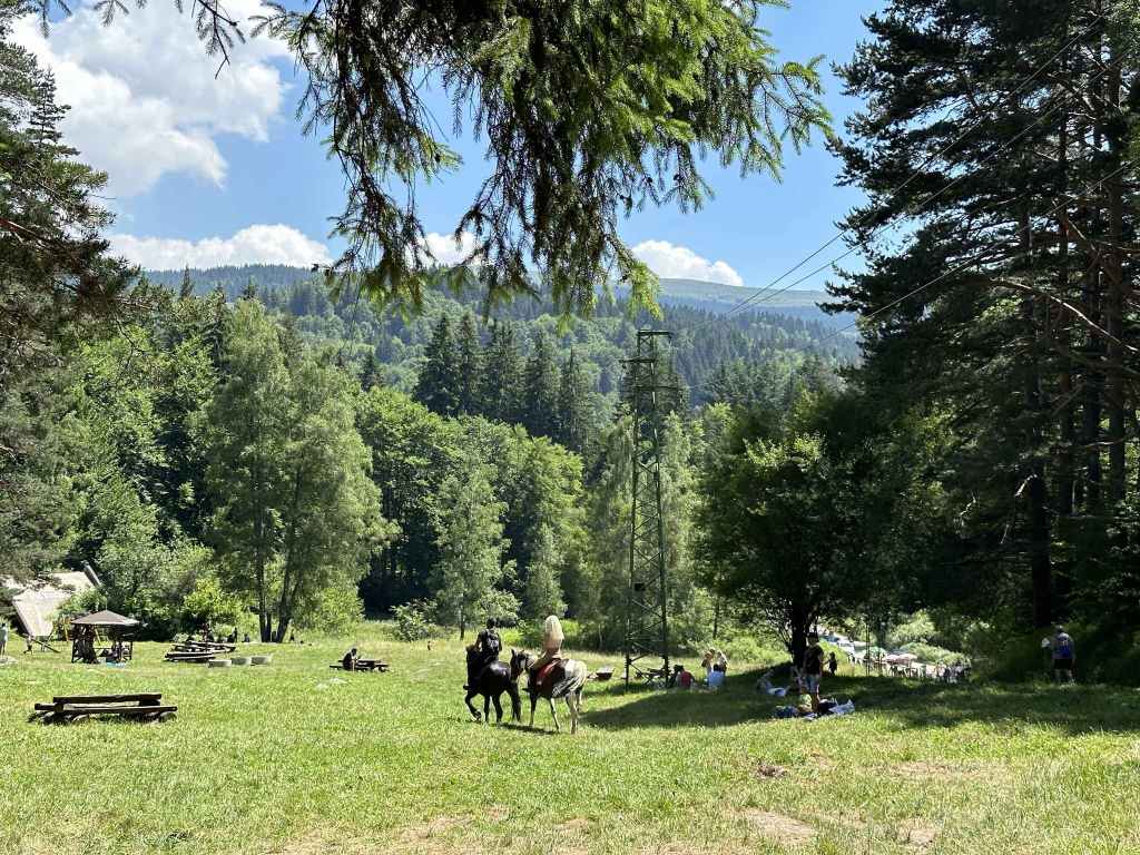
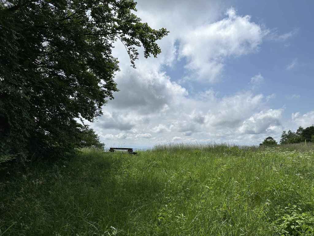
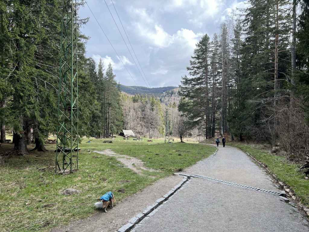
The meadow Beli Bryag with some horse riders. 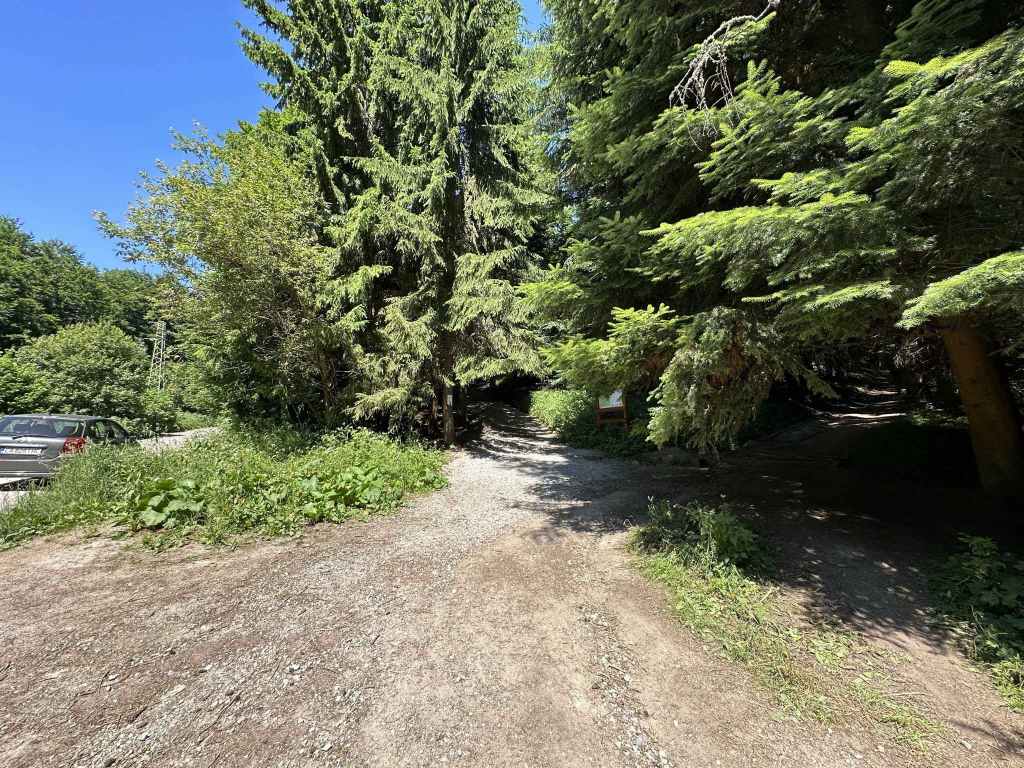
The road to Momina Skala on the left, the path in the middle, and another path on the right. Take the path in the middle. 
Cross the cobbled road and take the path diagonally opposite. 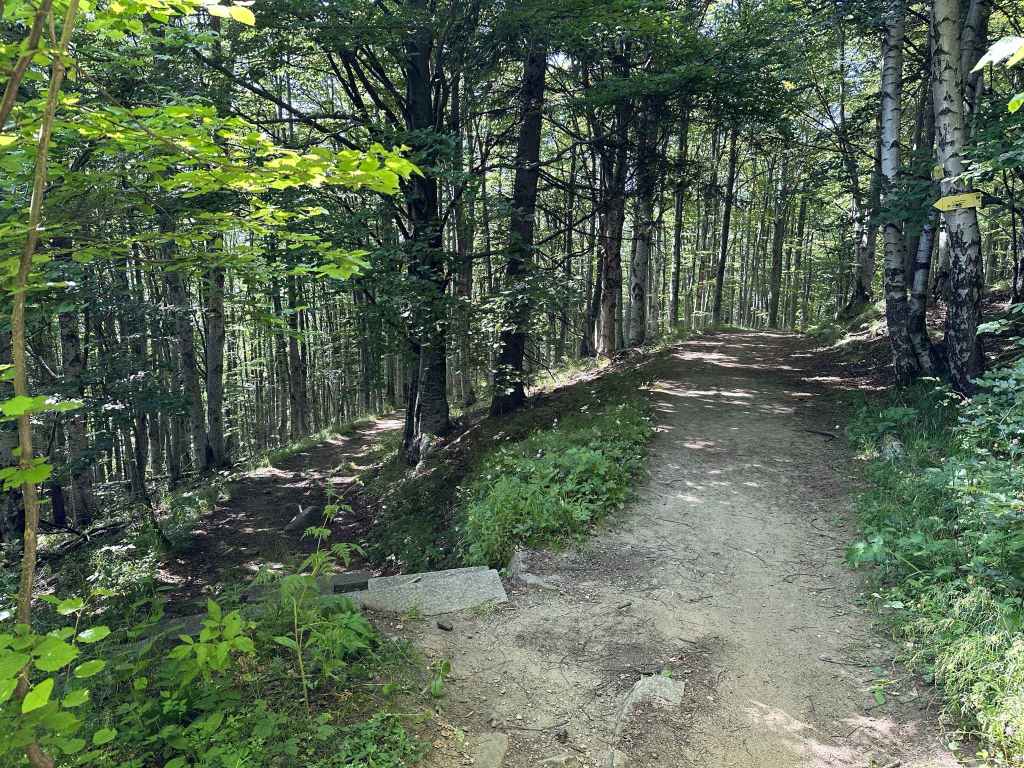
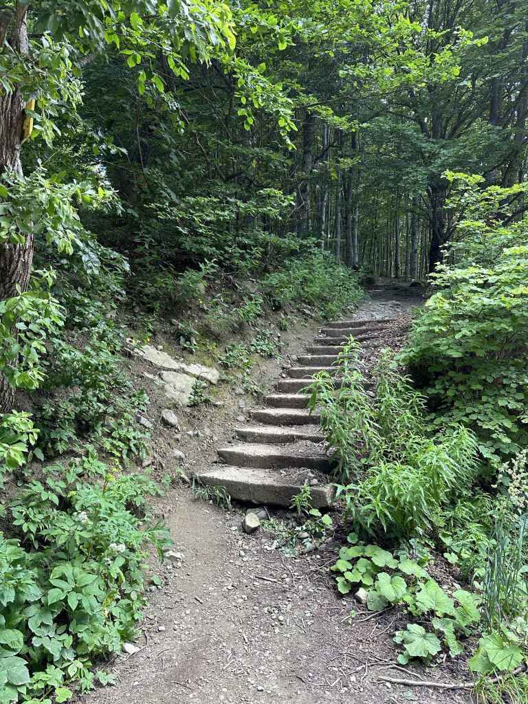
After five minutes, some stone steps on the left lead to Planinets. 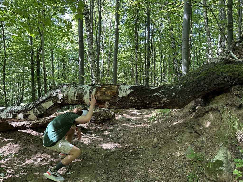
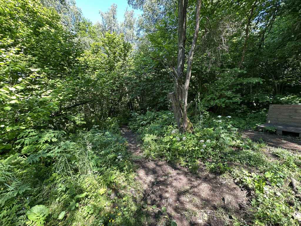
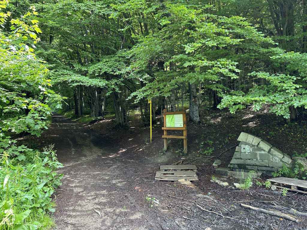
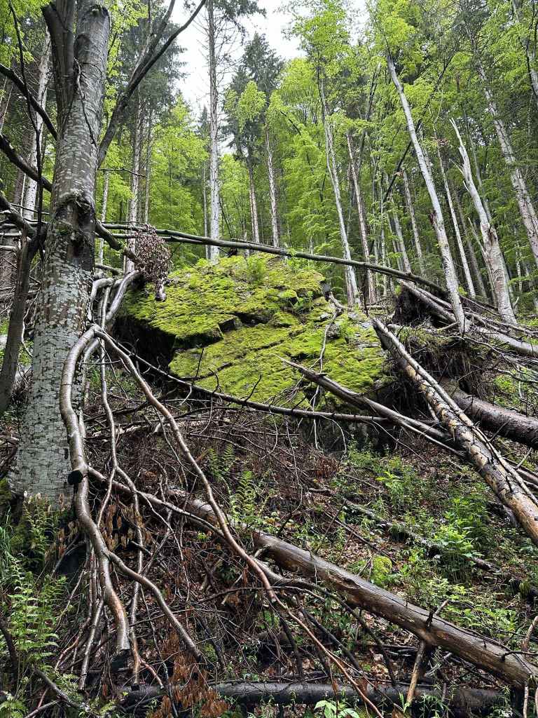
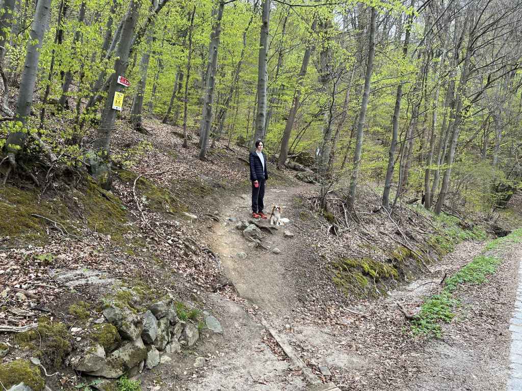
After ten minutes, go under a tree trunk before taking the path to Belite Brezi on the left. 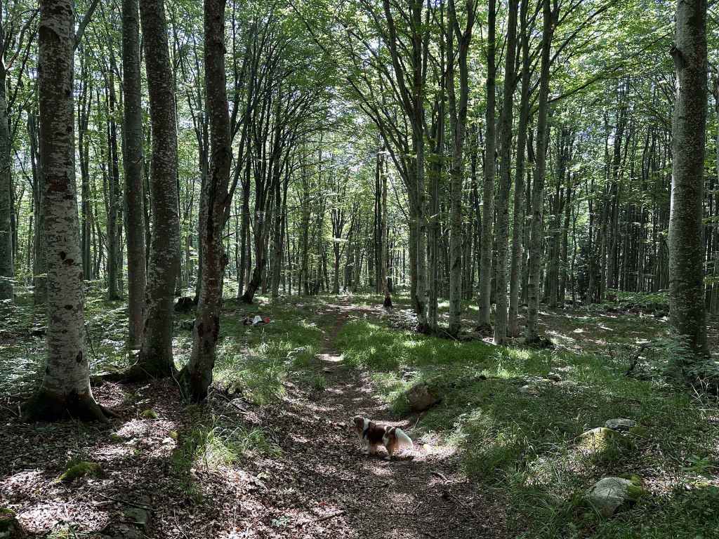
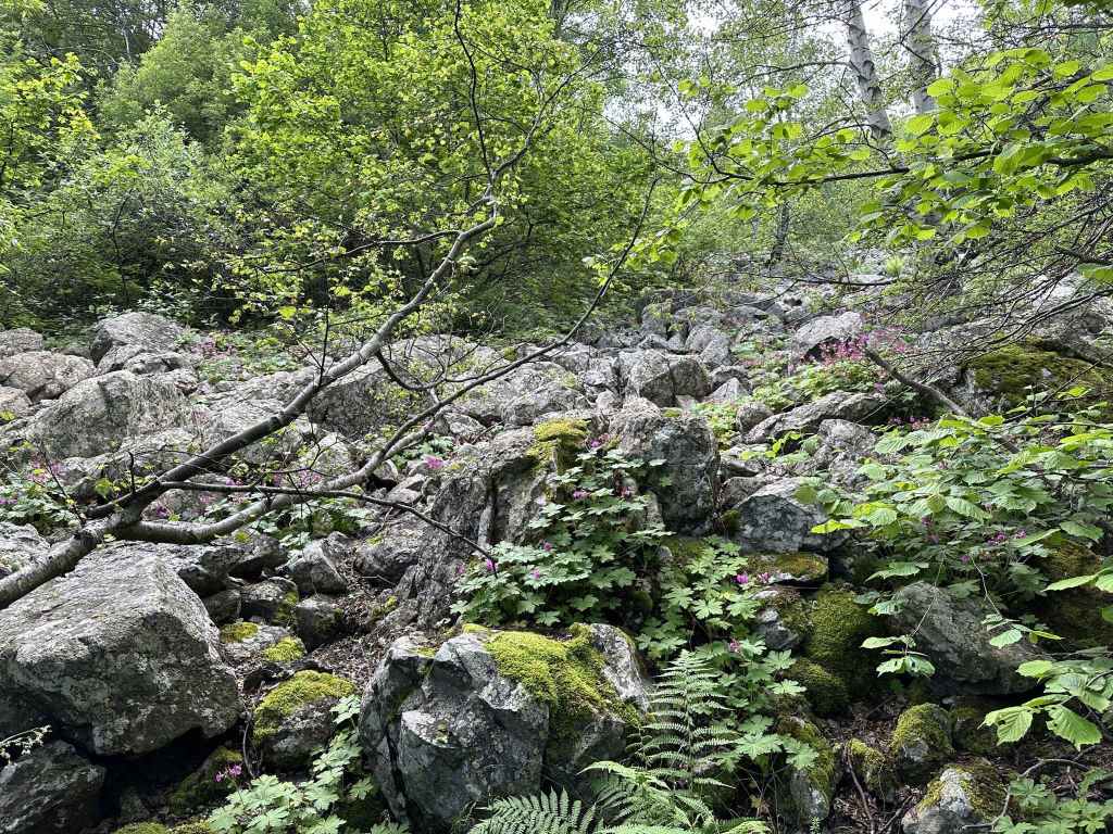
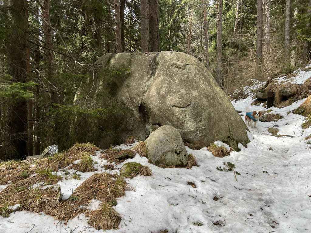
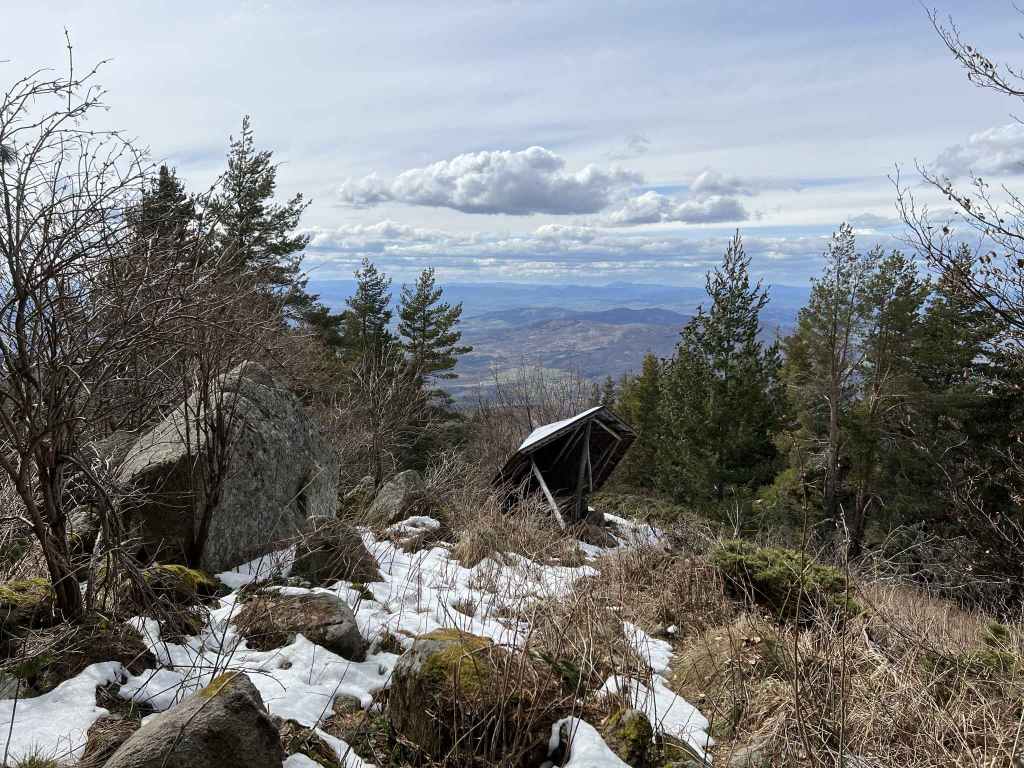
The magical forest. 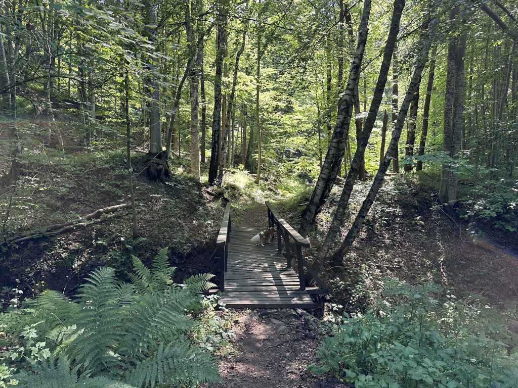
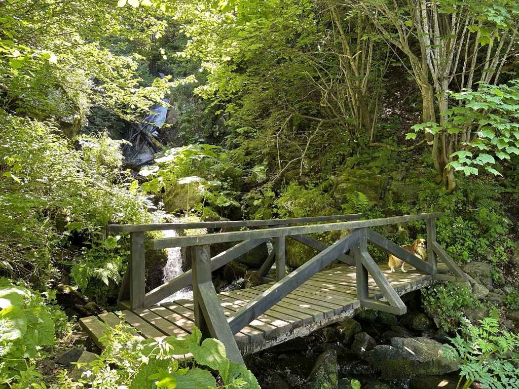
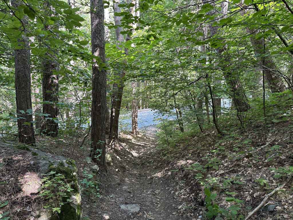
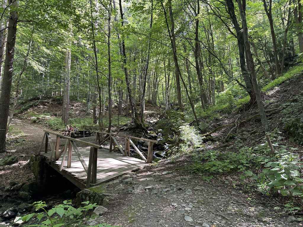
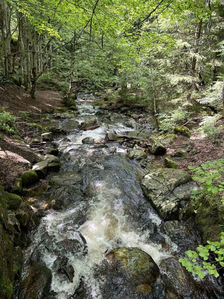
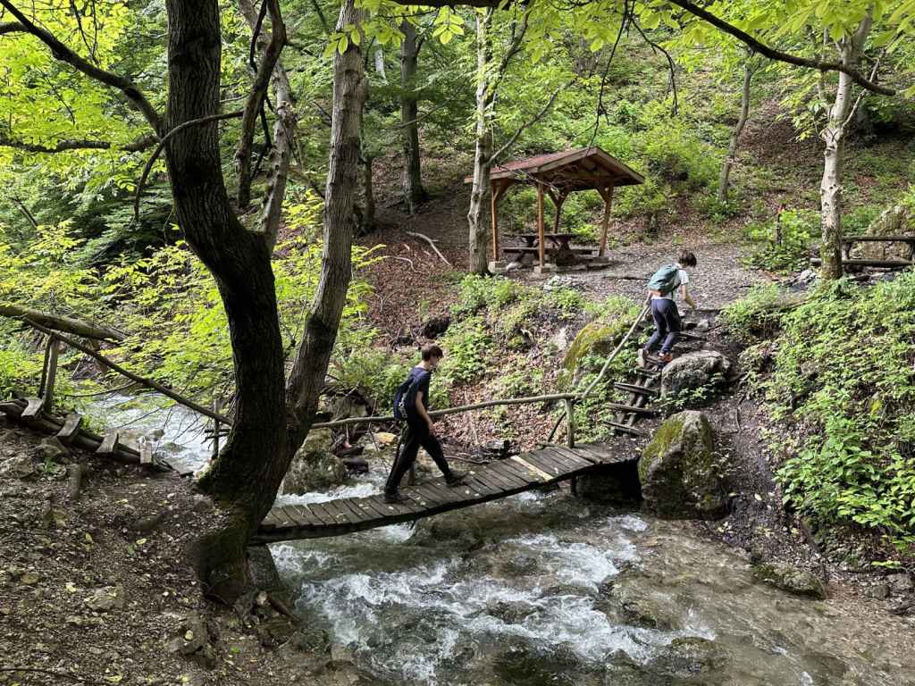
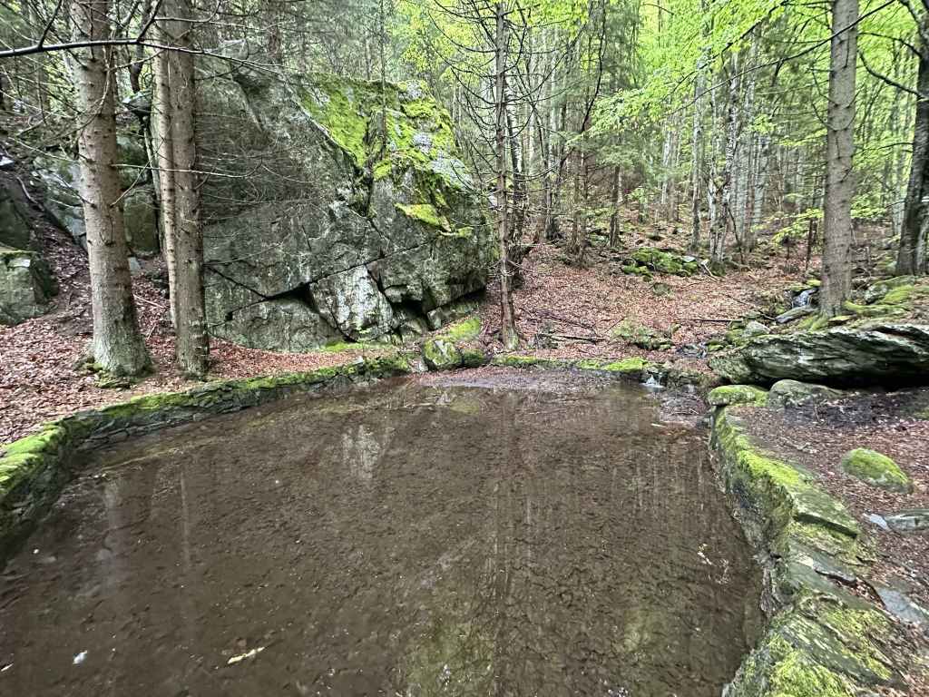
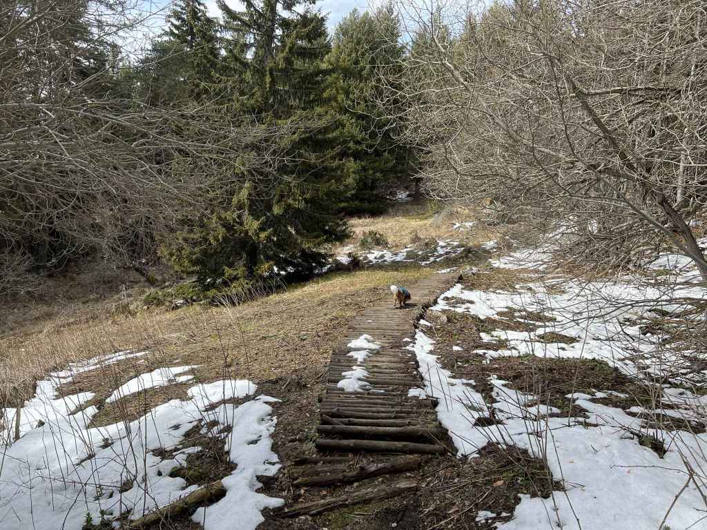
A bridge crosses a stream. 
You return to the path you were on and head back down the mountain. 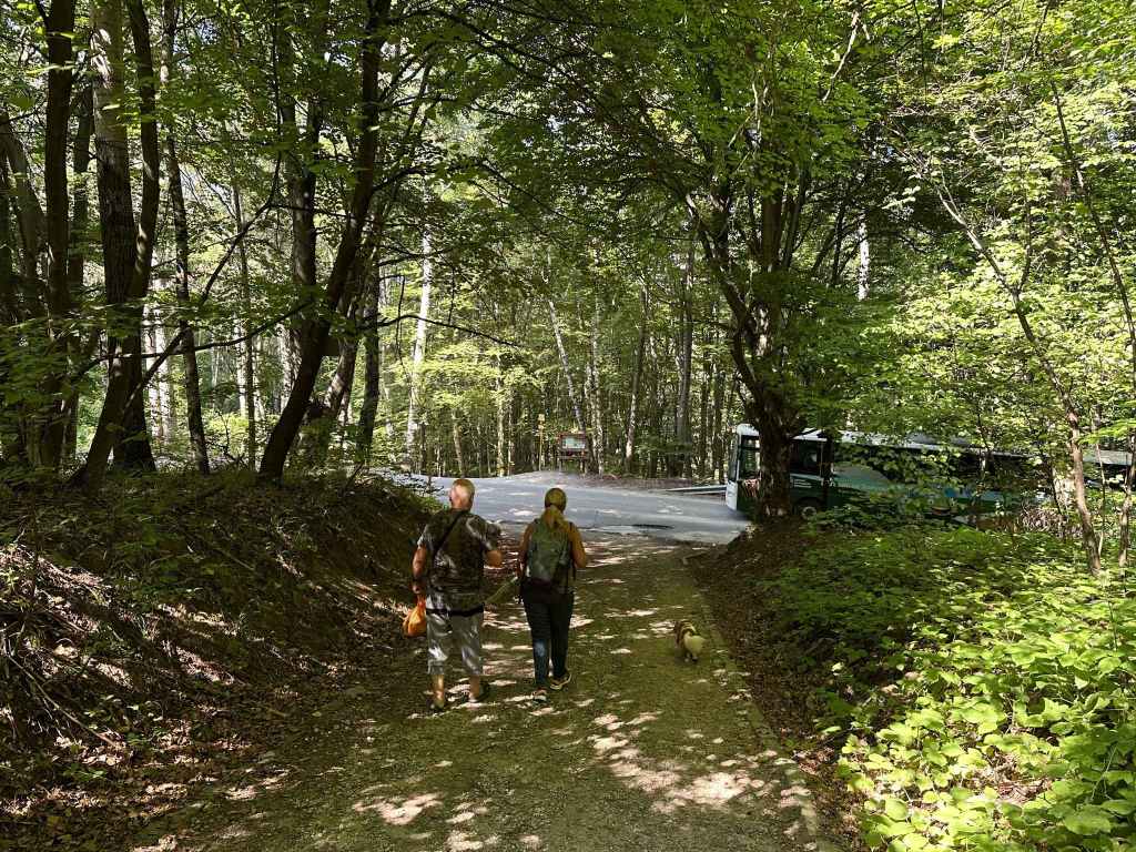
Back to the main road. 
Over one or two small bridges. 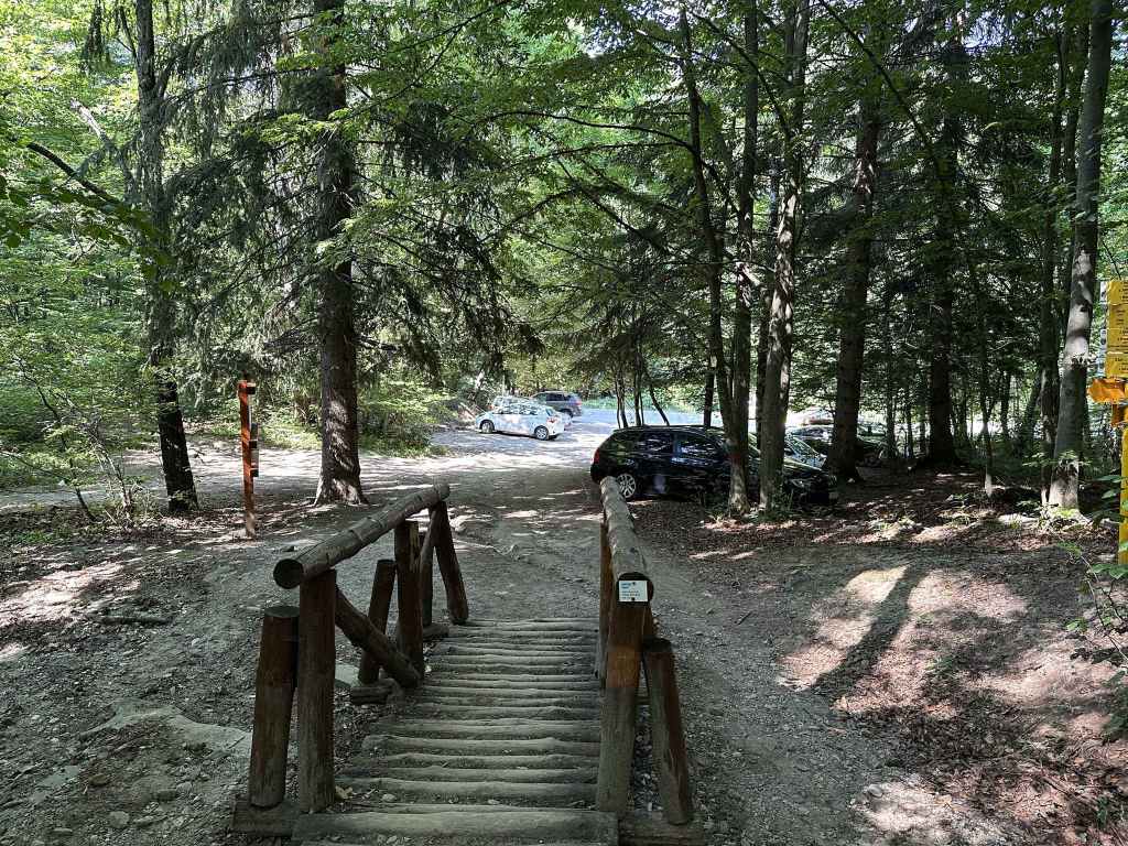
To the car park.
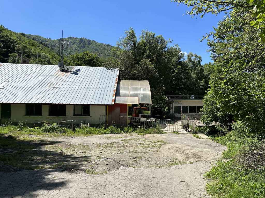
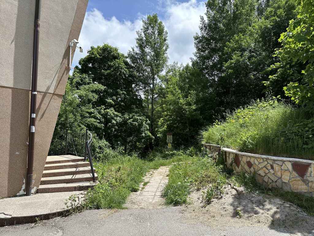
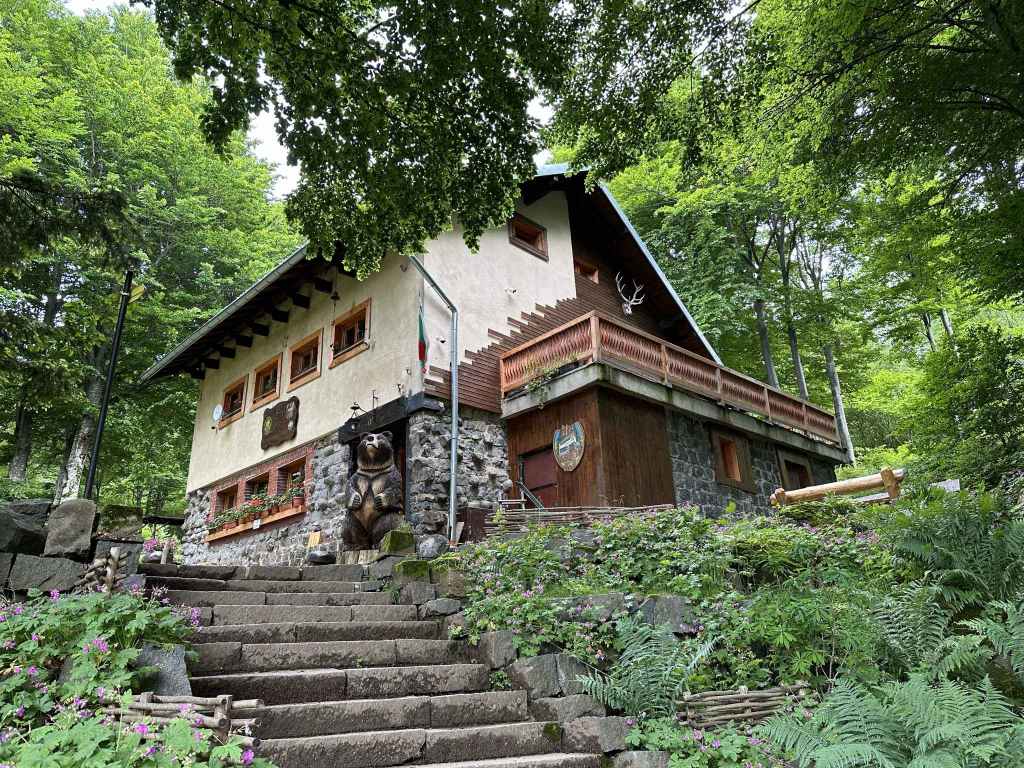
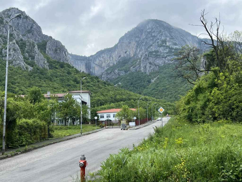
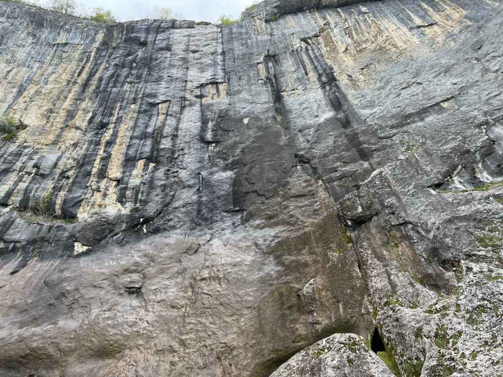
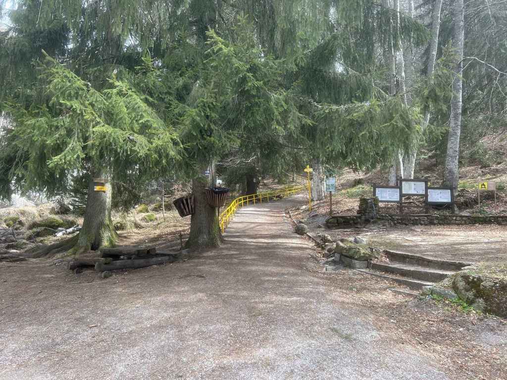
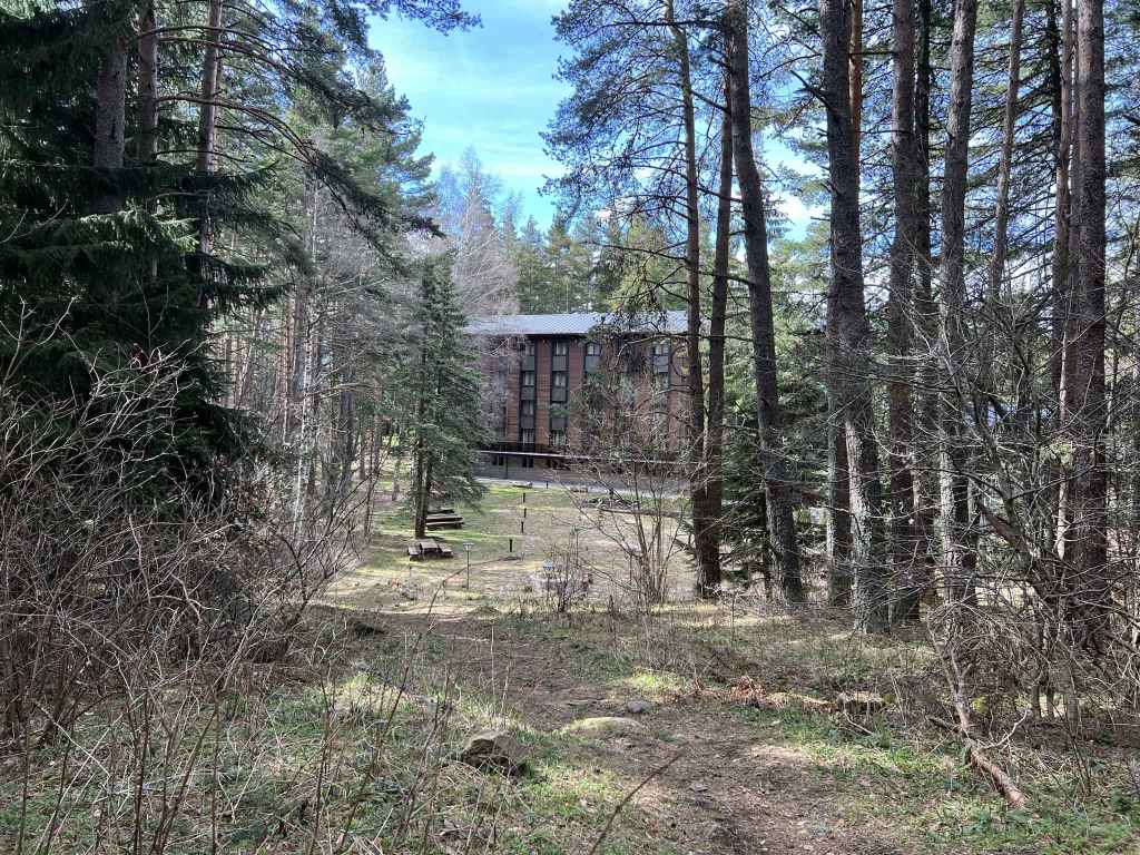
This is a beautiful walk up and down the mountain which has the advantage of being accessible even when there is heavy snow higher up the mountain. The starting point is not the Dendrarium itself, but a car park before the Dendrarium. Take the road that accesses the mountain via Boyana. This is Bulgaria Boulevard. You go under the ring road, drive through Boyana (with the centre of the village on your left) and continue straight up the mountain. As the houses give way to forest, the road begins to wind. You come to a motel called Tihiya Kat, the starting point for the walk to Vladaya River. 900 metres after this motel is a car park on the right of the road. This is where you need to start. If you are travelling by bus no. 63, you can get off at Tihiya Kat and walk the remaining distance or continue to the next stop (the Bear Museum) and walk back.
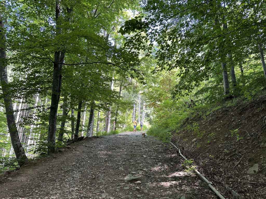
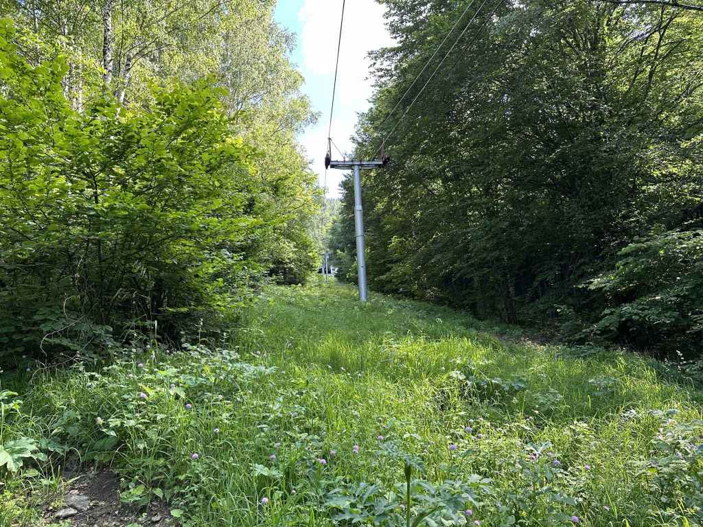
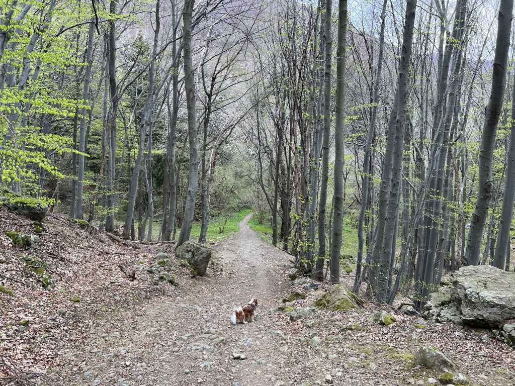
Immediately after the car park, the road does a 180-degree turn before continuing up the mountain. Leave the road behind. The car park is on your right. From here a path leads directly up the mountain in the direction of Zlatni Mostove. It begins with a little bridge, and then climbs steadily, but not onerously, for about an hour. The road (and bus) have the same destination, but take a much more roundabout way to get there.
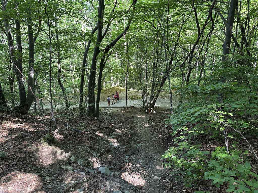
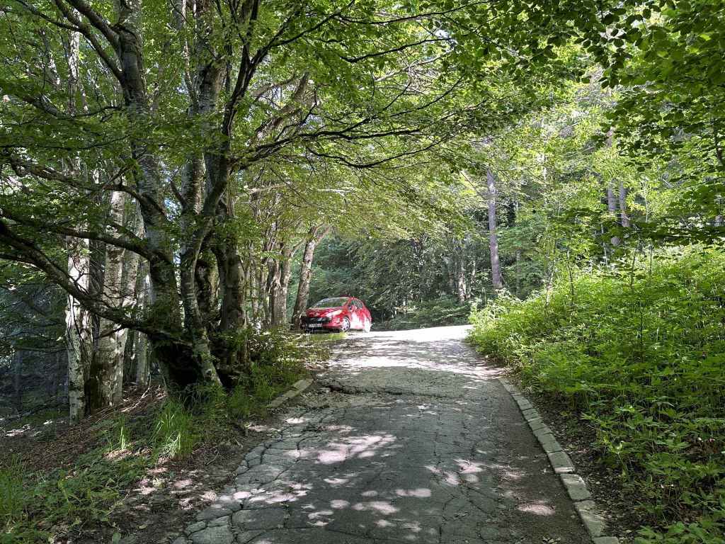
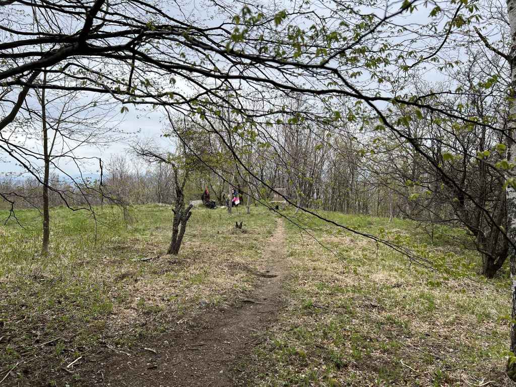
As you climb the mountain, various paths go left in the direction of the Dendrarium, but you want to stay on the same path, which is signposted for Zlatni Mostove and Momina Skala. Soon you will notice a stream on your right. After about fifteen minutes, you cross a secondary road connecting the Dendrarium on your left with a mountain hut, Iglika, on your right, a popular place for picnics in the summer. Continue straight with the stream now on your left. Ten minutes later, the path veers abruptly right, then left, and the road appears in front of you.
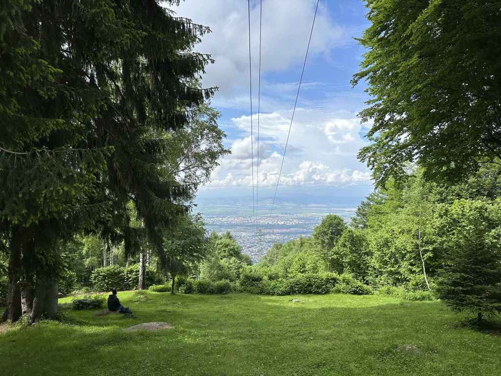
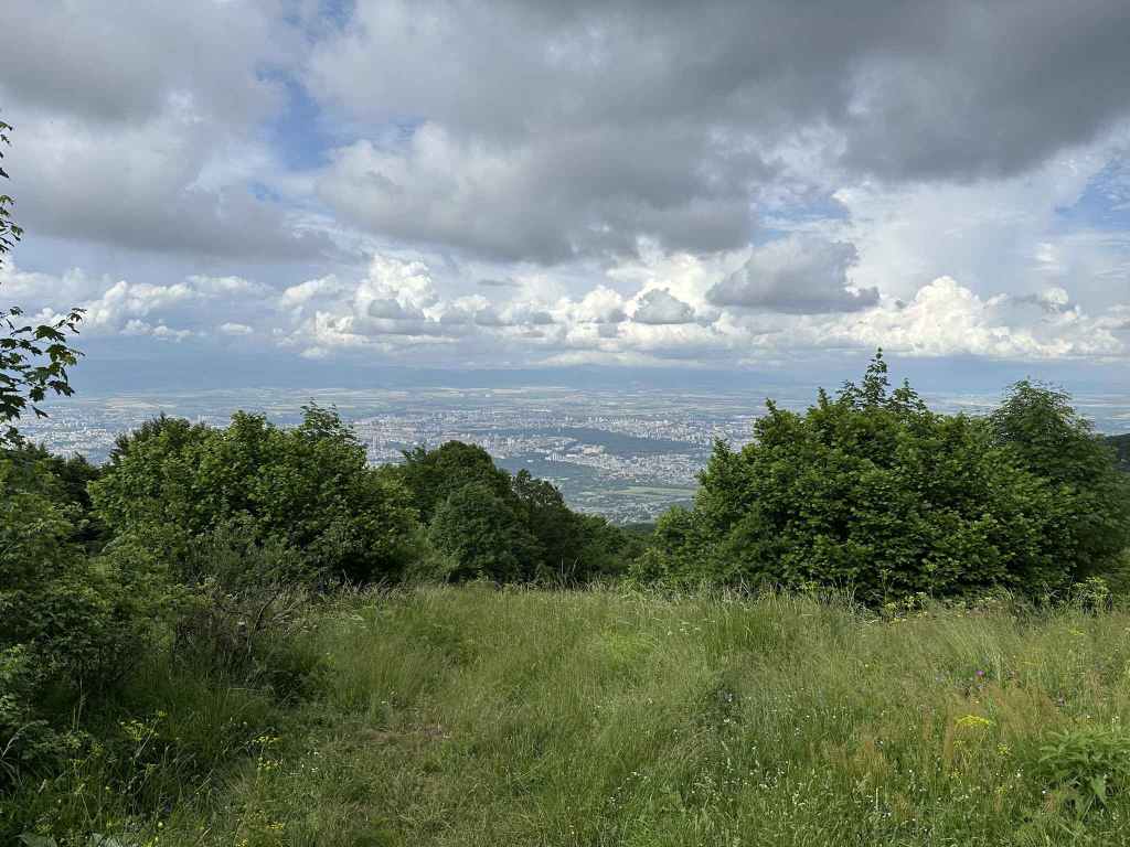
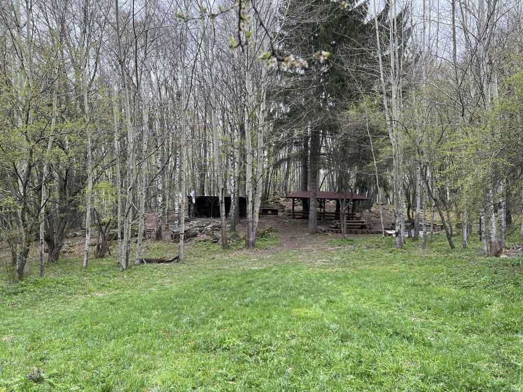
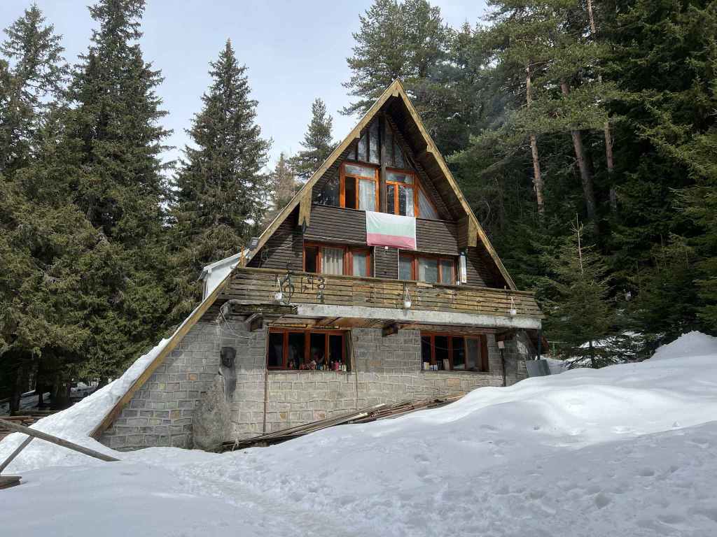
Go directly over the road and continue on the path on the other side. In a few minutes, there is a picnic table on your right. Another five minutes, and you come to a sort of crossroads with Vladaya village (and a mountain hut, Belite Brezi) on the right and a path to Kopitoto and Planinets on the left. The path to Kopitoto and Planinets is the path you will come back on. For now, continue straight up the mountain. You pass some more picnic tables and a fountain on the left. In about twenty minutes, a path joins from the left and, immediately after that, you reach the road that connects Zlatni Mostove on your right with Momina Skala on your left. On the other side of the road is a large, open meadow called Beli Bryag. This is a popular picnic area in summer and a good place to stop for refreshment. There are stalls selling corn on the cob, jams and souvenirs. If you head in the direction of Zlatni Mostove, there are some restaurants.
Having paused for refreshment, continue with the meadow on your right. This brings you to a wooden barrier with the road to Momina Skala on your left, a path heading up the hill in front of you, and a path on the right. The path heading up the hill in front of you skirts the road. Take this path. You are now doing part of the walk from Planinets, but in reverse. After three minutes, a path on the left is signposted for Planinets. Take this path, cross the cobbled road and continue on the path diagonally opposite. This path is signposted for Kopitoto. After five minutes, there are some stone steps on the left. Go down these steps and join the path to Planinets. After ten minutes, a tree trunk blocks the path. Go under the tree trunk, and immediately there is a path on the left signposted for Belite Brezi. You have to make a 150-degree turn. Do not continue to Planinets, but take the path to Belite Brezi, a path less trodden which leads you through magical forest (I have taken this path when there was thick snow and got quite lost; I have also encountered people sitting by the side of the path, seemingly lost in meditation). After ten minutes, a path on the right is signposted for the Dendrarium, but do not take it. Keep straight. A bridge crosses a stream, and in another ten minutes you will be back at the crossroads you saw earlier. Turn right here and go straight down the mountain. Cross the main road, then the side road between the Dendrarium and Iglika, and in half an hour you will be back at the car park where you started.