Zlatni Mostove – Planinarska Pesen – Bor – Septemvri – Zlatni Mostove

Starting coordinates: 42.6097479, 23.2361762

Distance: 7.8 km

Elevation Gain: 360 m

Time: 3¼ hours

Difficulty: Moderate

Transport: by car, or by bus no. 63 to Zlatni Mostove


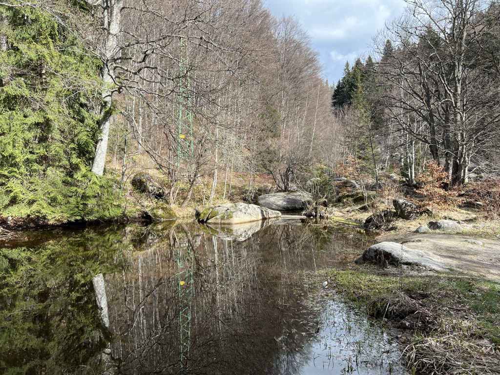
This is a classic Vitosha walk which has as its starting and end point an important location on the mountain: Zlatni Mostove (“Golden Bridges” in Bulgarian). Zlatni Mostove is memorable because of the river of moraines, large boulders, that tumbles down the mountainside and also because of the beautiful open meadow a little to the north, Beli Bryag. It is also where bus no. 63 turns around and goes back down the mountain, so there is no need to worry about where to get off!

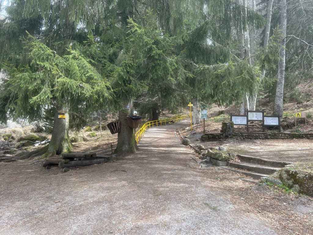
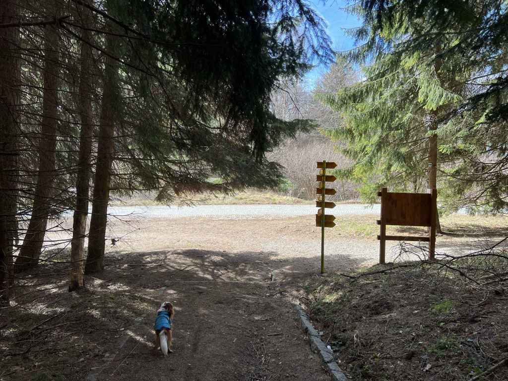
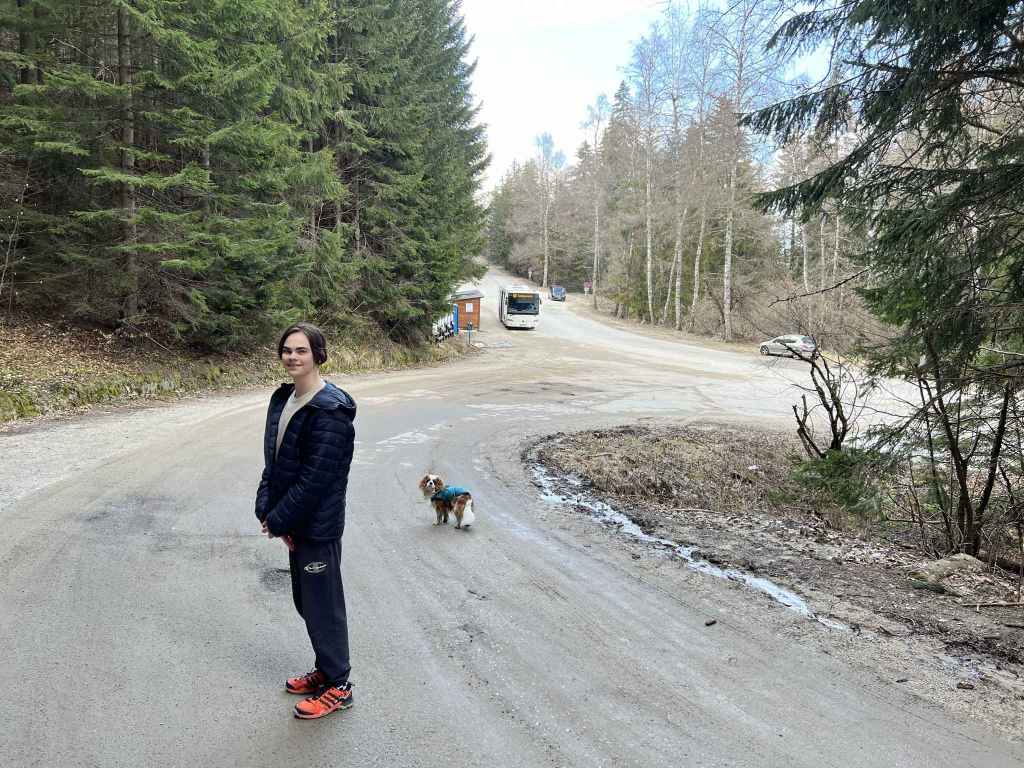
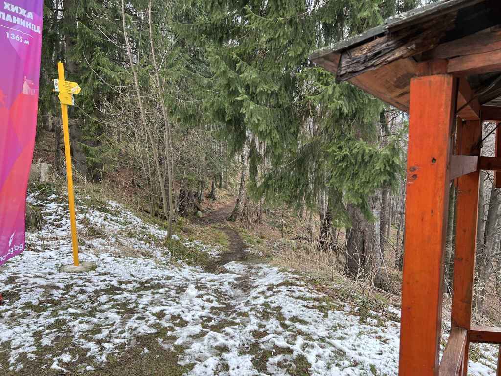
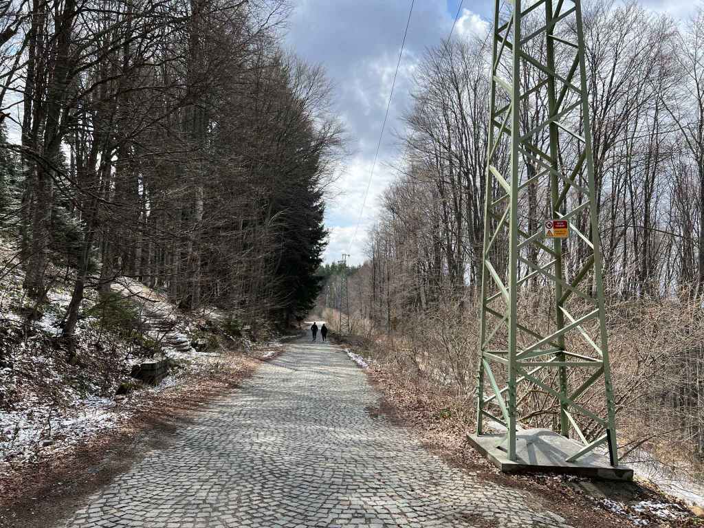
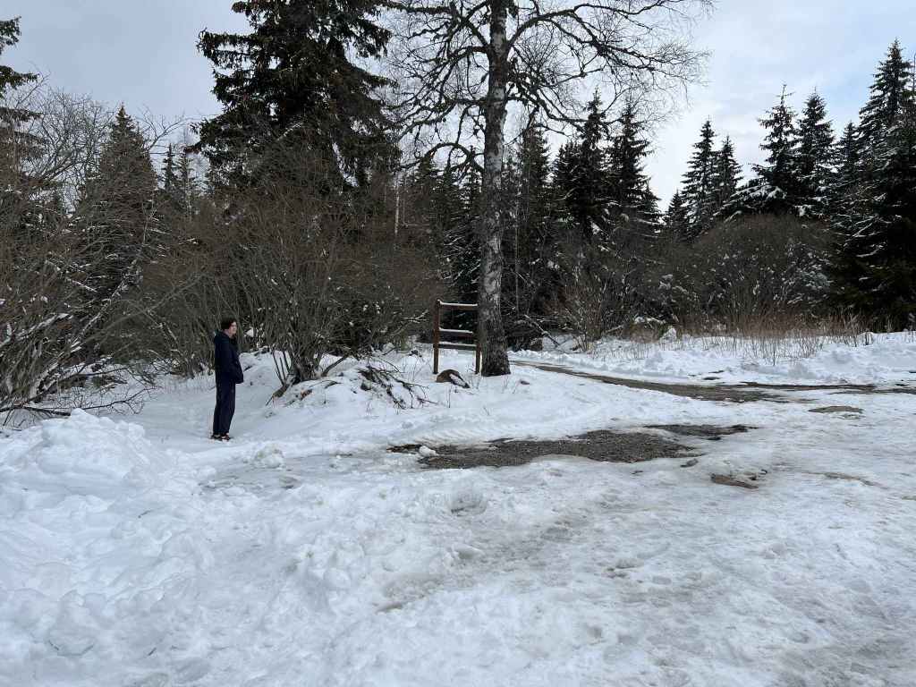
You again go through the district/village of Boyana and continue up the mountain, going past the Dendrarium on your right and the turning to Kopitoto on your left, until you get to an open area on the road with a large bus stop. This is Zlatni Mostove. It is fourteen kilometres from the ring road that goes around Sofia. Park the car somewhere nearby. The main road continues up the mountain and soon becomes cobbled, but for Zlatni Mostove itself you want to take a side road on your left. Continue up this road for three minutes and, as the road veers to the left, with the river of moraines on your left, you will see two paths departing from the road. One heads to Artistite and Selimitsa, it sort of doubles back. The path you want is the left of the two, signposted for Planinarska Pesen and Kumata. You climb some steps with the moraine river on your left. After fifteen minutes, you come to a stream (actually, two streams with small bridges over both of them). A short distance after the streams, the path divides. Continue left.

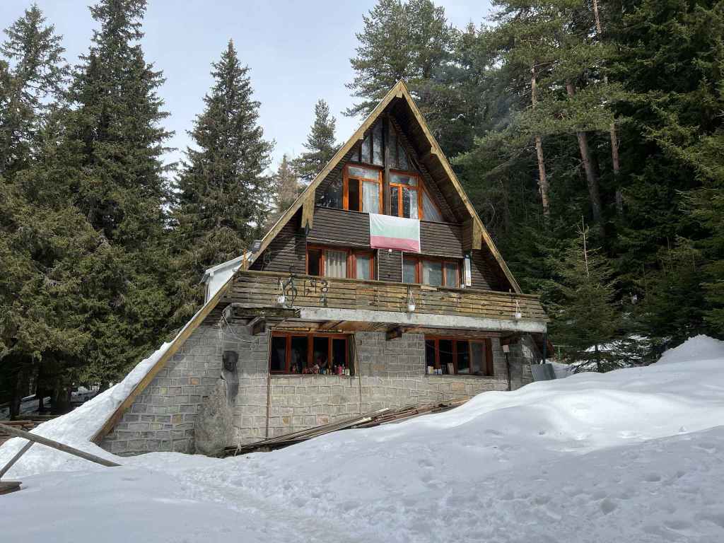
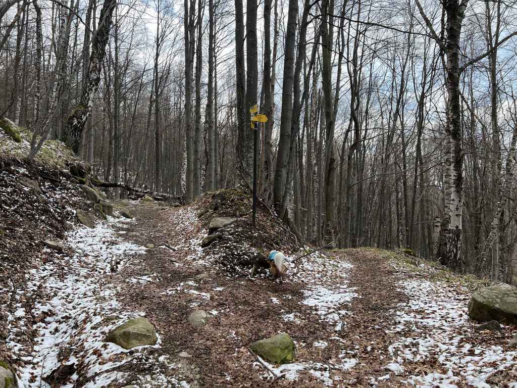
The path now heads straight up the mountain for about twenty-five minutes. Towards the top, you come to an intersection. If you continue up the mountain, you will cross the main road and the path will take you to Kumata. If you go right, you will come to Ofeliite. But you want to go left. Follow this path for about ten minutes. It doubles back and climbs to the main road. At the main road, go left (the smaller road opposite leads to Kumata). You will come to three mountain huts located close together: Boeritsa on your left; ahead of you, then on your right, Borova Gora; and finally Planinarska Pesen, which means “Mountain Song” and fittingly has a few metal notes affixed to the wall. Just before this last hut, there is a path descending on your left, signposted for Zlatni Mostove and Bor. Take this path.

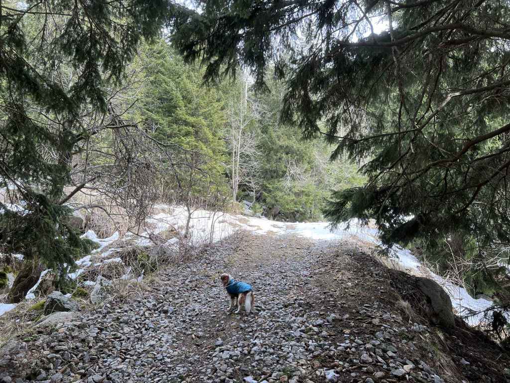
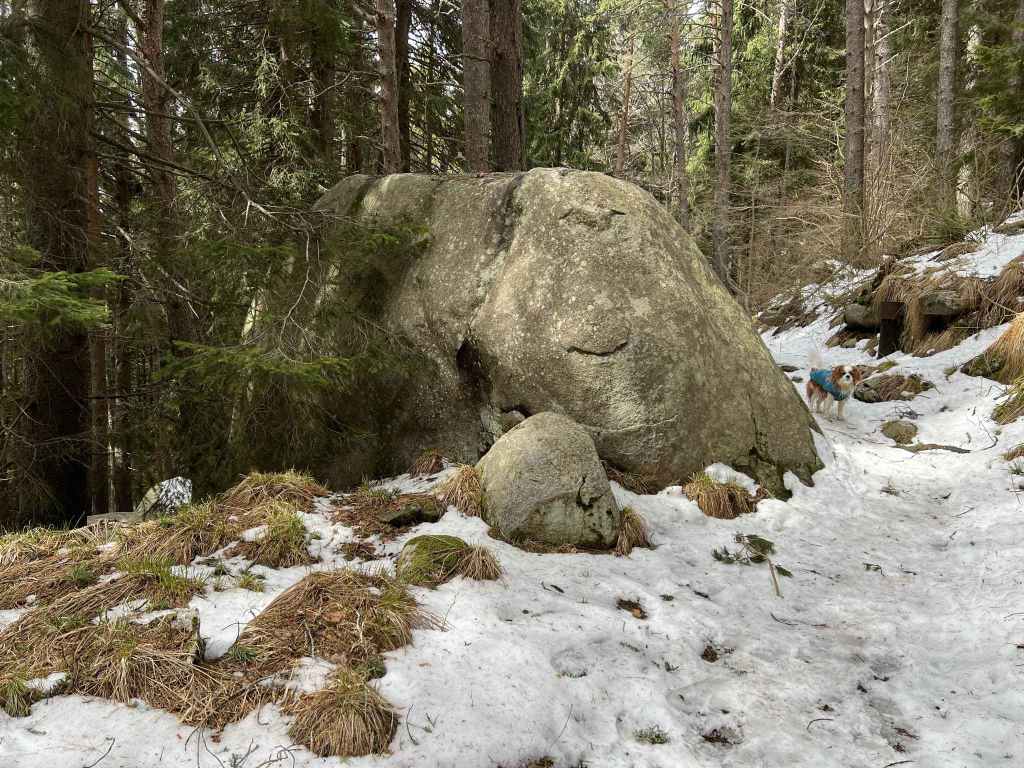
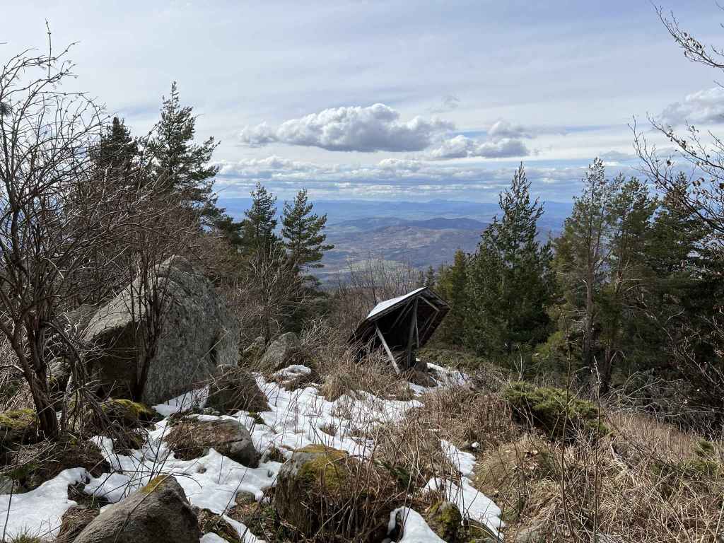
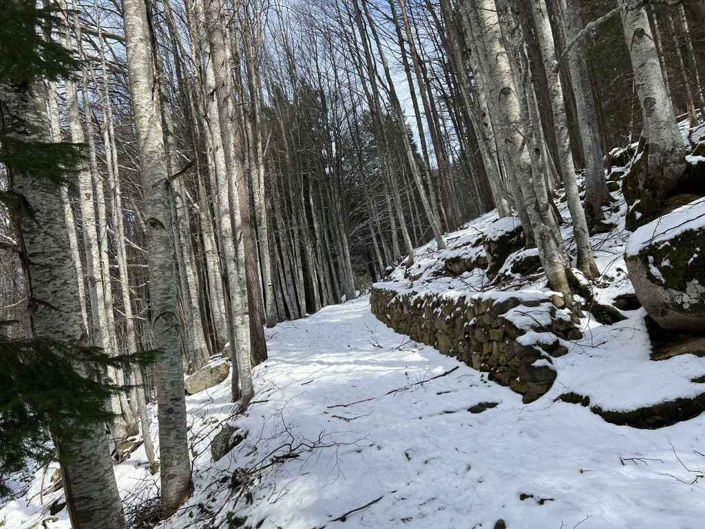
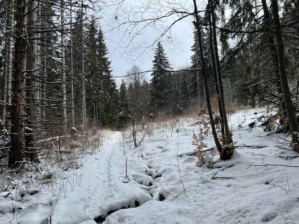
The path descends abruptly and then levels out with some wonderful views in a westerly direction. It winds through the forest, past large rocks, across minor streams. After about twenty minutes, the path begins to descend. It is signposted for Septemvri. But a new path begins on the right, signposted for Bor and Momina Skala. You want to go right in order to maintain your elevation, not to go down the mountain yet.

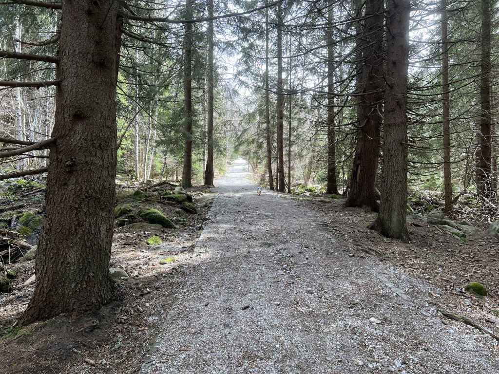
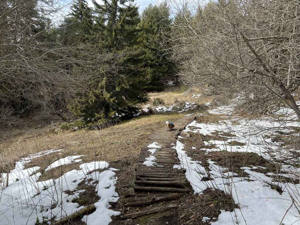
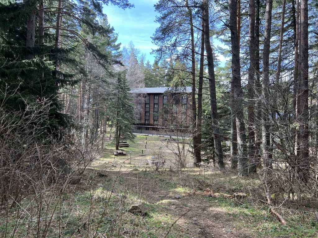
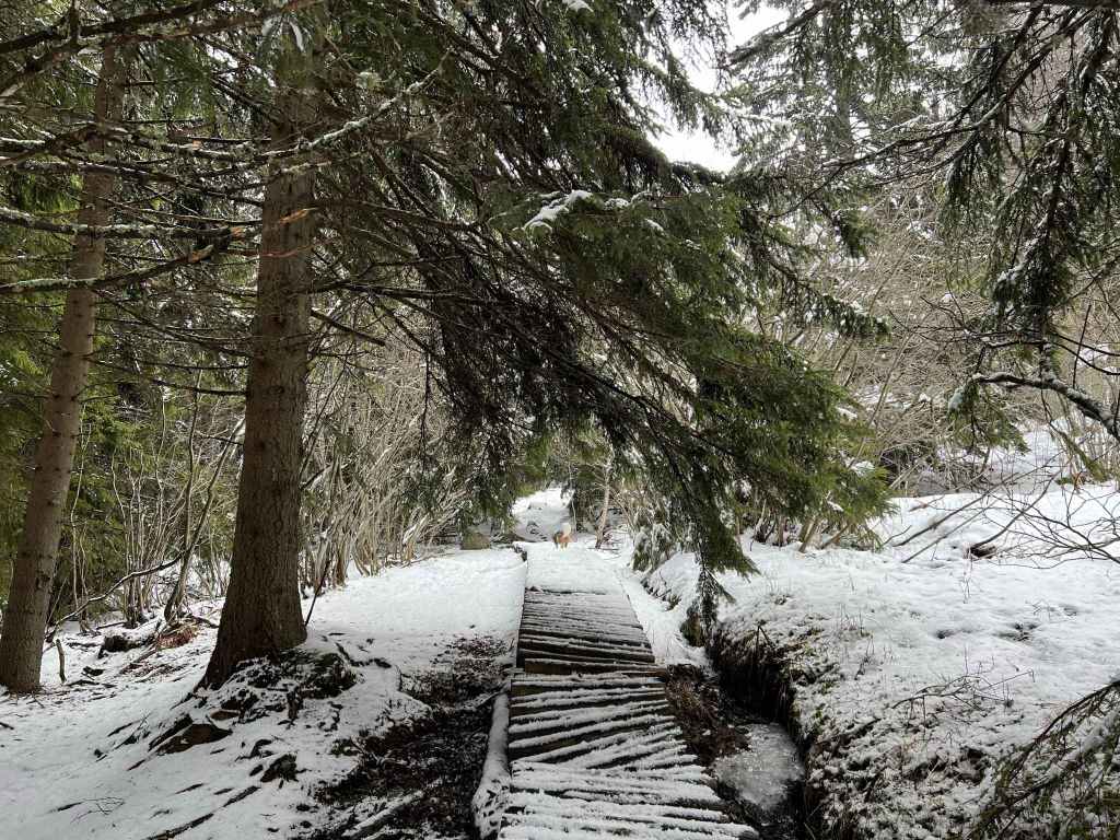
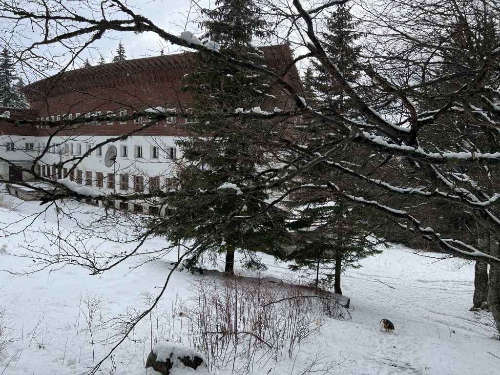
You continue along this new path, again with wonderful views in a westerly direction, for about thirty minutes. There are some wooden walkways where the ground is wet. After thirty minutes, you come to a clearing. This is the same clearing that features in the walk from Planinets. Directly ahead of you is Boyana River and Bor mountain hut, but when you reach the far side of the clearing, there is a path that doubles back on your left. It is signposted for Septemvri and Zlatni Mostove. Take this path and follow it all the way down the mountain. Again, there are some wooden walkways where the ground is wet. After twenty minutes on this path, there is a turning right to Septemvri. You can ignore this. In a few more minutes, you reach an intersection with the hotel Elitsa on your right. The path coming down the mountain on your left is the path you joined at Planinarska Pesen, but then left in order to join a new path on the right. None of this matters. You continue straight and in less than ten minutes you come to the road that connects Zlatni Mostove and Momina Skala.

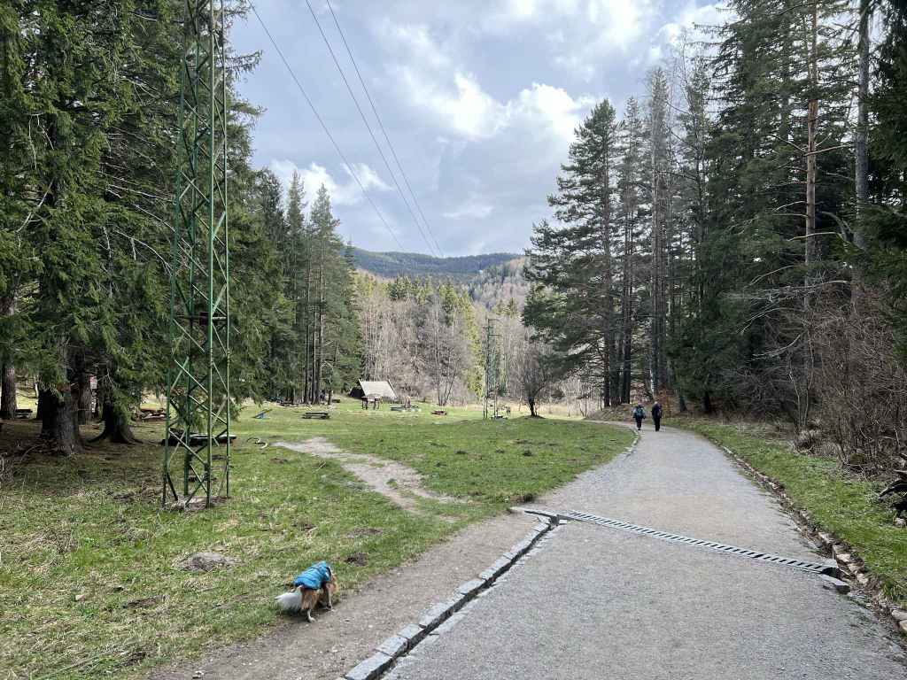
At the road, turn left and take the path that goes past an open meadow called Beli Bryag. The view here always reminds me of Switzerland, I don’t know why. It is a lovely open area with benches where people like to picnic and have barbecues in summer. The path skirts the meadow and rejoins the road further down. At the road, continue left and follow the road for ten minutes. It will lead you directly back to the main road with the no. 63 bus stop.

This route up, across and down the mountain, which affords some wonderful views and has the added attraction of the moraines or large boulders, is shaped like an upside-down triangle. You go up one side, across the top and back down the other side until you return to the same point. The route can be shortened by following the path to Septemvri and turning left at the bottom (with Elitsa hotel in front of you). This new path will take you to the road, with the meadow, Beli Bryag, on your left.

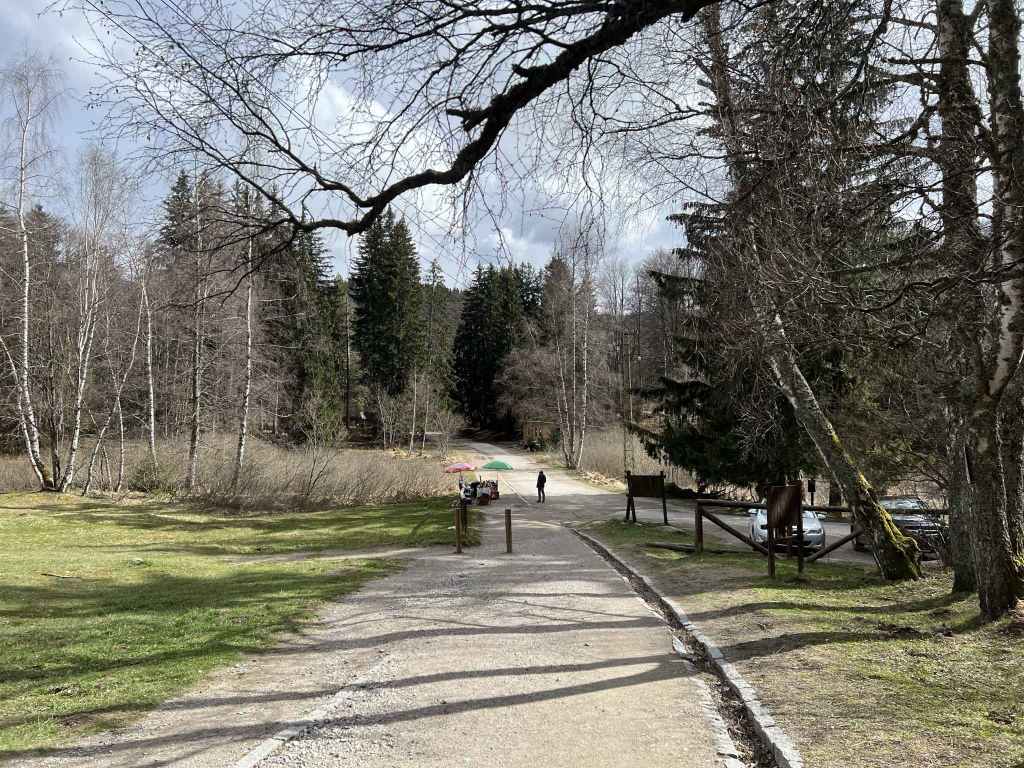
No visitor can consider themselves acquainted with the mountain until they have come to Zlatni Mostove. On the final stretch, between the meadow and the bus stop, there are several stalls selling corn and jam and a couple of restaurants where you can get bean soup or meatballs (kyufteta).

Planinets – Zlatni Mostove – Bor – Momina Skala – Planinets

Starting coordinates: 42.6246831, 23.2397177

Distance: 6.1 km

Elevation Gain: 320 m

Time: 3 hours

Difficulty: Moderate

Transport: by car, or by bus no. 63 to the Dendrarium


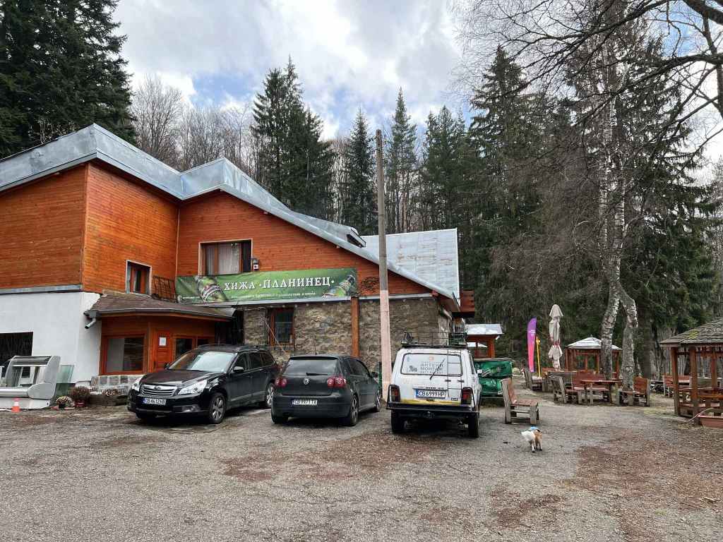
This is a wonderful, circular walk that starts and ends at the mountain hut and restaurant Planinets. To get there, you need a car. The alternative is to take bus no. 63 to the Dendrarium and to walk from there, but this will add at least an hour.

You take the road to Vitosha that goes through the village of Boyana, follow the road up the mountain. Immediately after you pass the Dendrarium on your right, there is a turning on the left to Kopitoto (where there is a hotel and a television tower). Take this turning. Before you get to Kopitoto, there is a turning on the right to Planinets. Take this smaller road, but be careful, it is full of potholes. The mountain hut/restaurant is at the end.
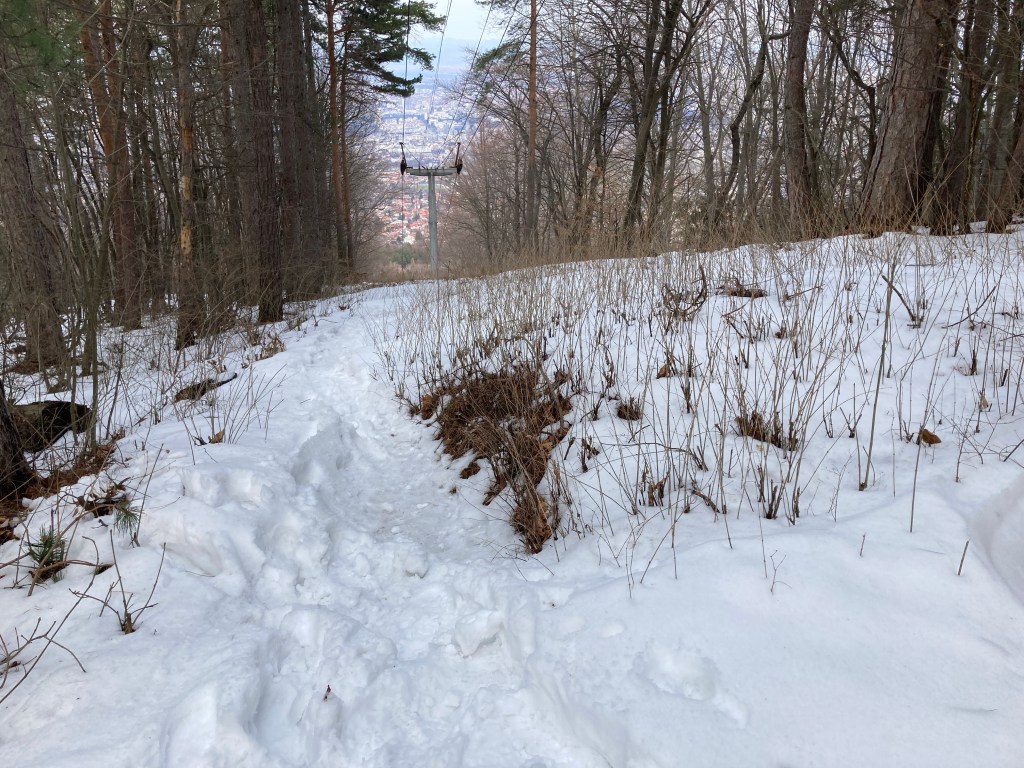
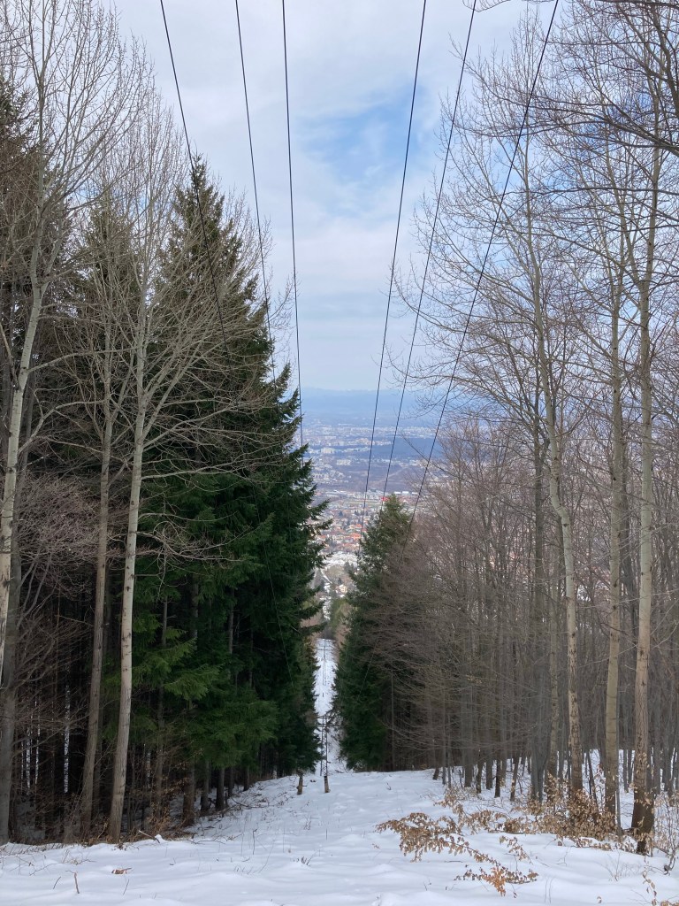
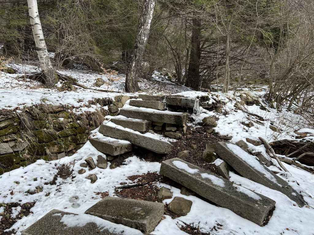
To start the walk, go past the mountain hut on your left and take the path that descends directly in front of you. After a short descent, this path begins to climb gradually through beautiful forest. It divides after about ten minutes. Take the left fork. A trunk has fallen across the path, so you have to bow your head. Continue for another ten minutes until you reach some large stone steps. At the top of these steps, turn right and after five minutes you will come to the cobbled road that goes from Momina Skala on your left to Zlatni Mostove on your right. Cross the road, climb the steps directly opposite and join the path that connects Momina Skala and Zlatni Mostove. Go right, the path descends steeply for a few minutes. At the bottom, take the path that climbs directly on your left (the road is on your right, and Zlatni Mostove is in front of you). You will now stay on this path for forty minutes or thereabouts.

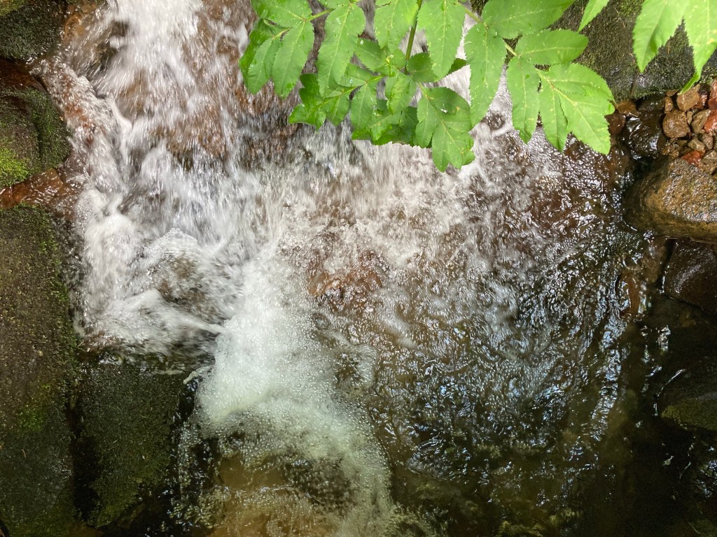
The path climbs steeply for ten minutes (this is the hardest part of the walk, but nothing too strenuous). Ignore the crossroads, with a hotel (Elitsa) on your left. Keep going straight. After a few minutes, ignore the turning to Septemvri on your left. Keep straight. The path levels out, you cross little streams and pass large boulders called moraines. Eventually you will come to a clearing with plants. Here you join another path coming from Planinarska Pesen. Go left, and in a few metres you will reach a bridge over Boyana River. This attractive river tumbles down the mountainside and further down becomes Boyana Waterfall. This is an ideal spot to have a rest. It is also about halfway through the walk. From now on, the walk is downhill.

When you are rested and have enjoyed one of my favourite spots on the mountain, cross the bridge over the river. There is a mountain hut on your right, Bor. You want to go left (not straight). You can walk on the road, or better take the path that is on the left of the road. On the path, you will keep crossing the road as it winds down the mountain (the path is more direct). After a few minutes, cross the road, and then you will reach the mountain hut Tintyava. Immediately after the hut, turn left, with the building on your left. Cross the road again, and you will descend some steps to the mountain hut Rodina. Go straight past the building on your left. Cross the road again, and now you are on the path to Momina Skala. After fifteen minutes, a path joins the path you are on from the right. At the bottom, turn left and cross the bridge over the same river, Boyana River, you were sitting by earlier, except that now you are further downstream. Pass the mountain hut Momina Skala on your left and climb the short path to a large open area where there is a meadow and places to sit. This is Momina Skala, a popular destination in summer.

Cross the meadow (do not take the path that veers off on your right, this goes to Kopitoto). On the far side of the meadow is a restaurant. Pass the restaurant on your right and a hundred metres away, on the other side of a parking area, is a path marked “Planinets” heading west. This path goes straight down the hill and has wonderful views west of the mountain. Keep going straight down the hill. After ten minutes, you will cross a path connecting Zlatni Mostove and Kopitoto, but do not take it. Keep going downhill. Towards the end of the day, the light here is very attractive as the sun begins to set. Twenty minutes after leaving the restaurant in Momina Skala you will reach the road to Planinets. The mountain hut is just on your left.

This is one of my very favourite walks on Vitosha, but it can be shortened. When you get to the cobbled road, instead of going right, you can go left. The path will take you straight to the meadow in Momina Skala, and from there you can head downhill to the road leading to Planinets. This will shorten the walk by several kilometres, but I recommend the longer route.

Gallery

Water

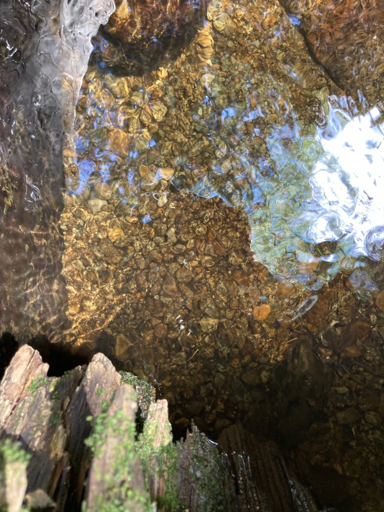
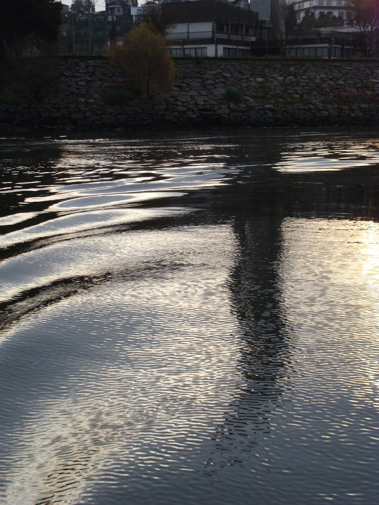
It is remarkable that water has four of the same letters as earth. And where would the earth be without water? Earth has the same letters as heart. Without water, our heart would shrivel up.

What amazes me is the way it flows constantly. Even in the night, when I am not there. During the week. All the time until my next visit, it flows.

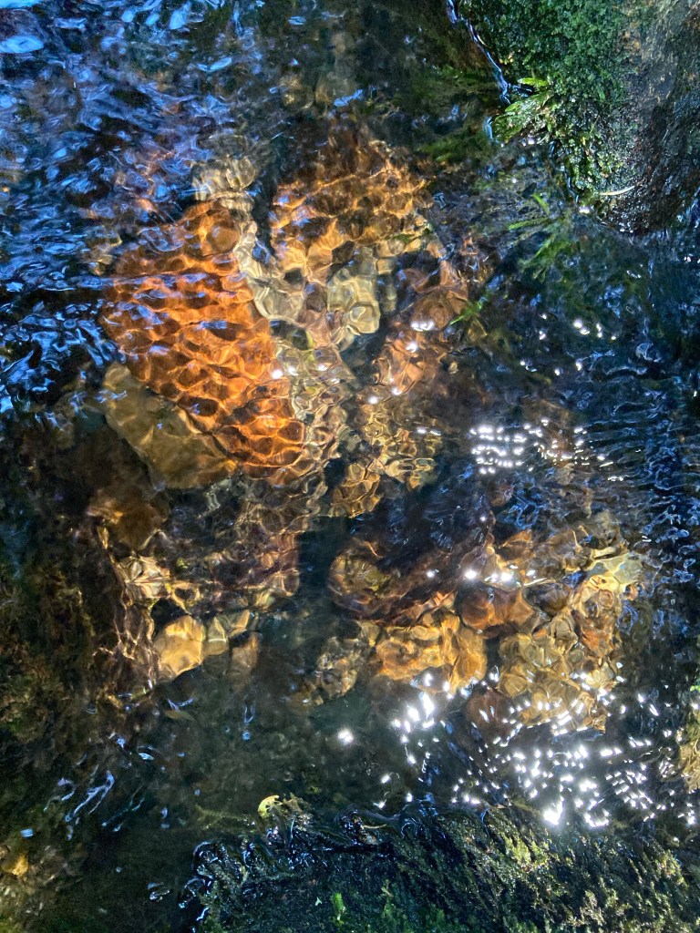
Sometimes it is blue, like the sky. Sometimes it is reddish brown, like a brick. Sometimes it takes on the colour of my shadow.

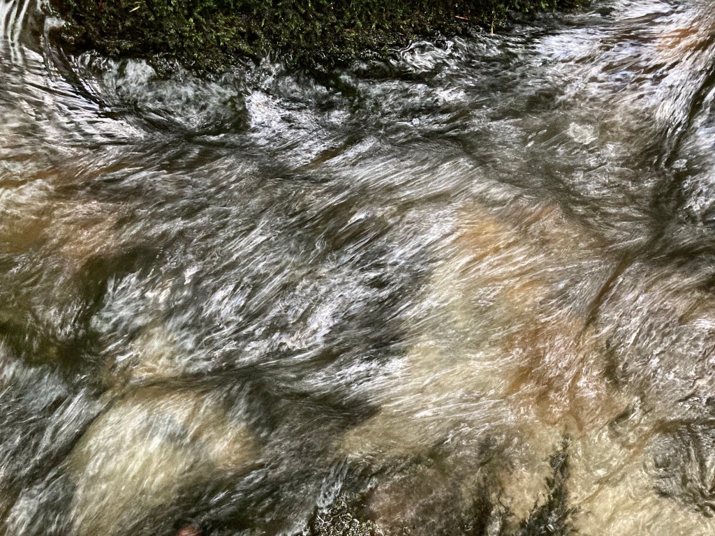
It is whatever is thrown at it. But sometimes it becomes a blur – too fast for my eyes to distinguish.

In the night, it is black – unless there is a moon, I imagine.

Water always finds a way – even if it has to go underground. Or fly through the air.

On Vitosha, I have seen it so calm it resembled a mirror. But I have also seen it rage after a storm. Then it is no longer transparent, it seems to boil.

We step on the land; without water, we would sink, as in a desert. Too much water, and we swim.

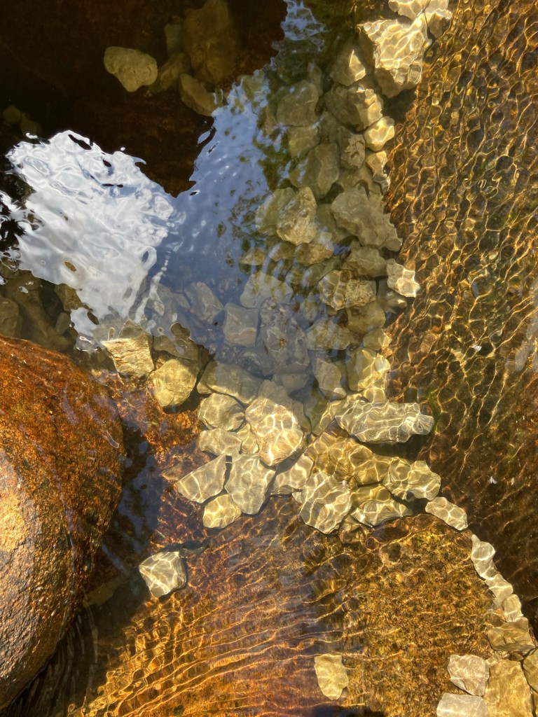
Water lies on a bed of gravel. And rests its head on rock pillows. It rises up from the rock. It slips through gaps. It causes us to build bridges – that is a good thing.

When it enters the air, it is smashed into smithereens.

Later, in the sea, it evaporates to fall on my head. Then I walk through a sauna. The water is so prevalent it climbs up my legs. I have sat in the car as it beat down with unusual ferocity. Still I got out.

I like it when it’s the mountain and me. Today I walked through the hordes, as if I came from another planet. Another age.

Water is most beautiful on the mountain. It is like a curtain. Or a seam. The mountain shudders. Sends the water tumbling. It resists – for now.

I know a secret place where I sit and watch it gleam.

27 August 2022

Text and photographs by Jonathan Dunne, photograph selection by Tsvetanka Elenkova.

Vitosha is the mountain that lies just south of Sofia, the Bulgarian capital.

Aleko

There are two waterfalls on the outskirts of Sofia, on the lower slopes of the mountain that overlooks Sofia from the south, Vitosha. They are Aleko and Boyana. Aleko is the name of the last stop on the cabin lift that climbs the mountain from the Simeonovo district of Sofia and finishes a few hundred metres shy of the summit, Cherni Vrah (‘Black Peak’). Aleko Waterfall, however, is much lower down the mountain, between the districts of Dragalevtsi and Simeonovo.

To reach Aleko Waterfall, the best way is to head to Dragalevtsi Monastery, one of the oldest monasteries in Sofia, which has an old church with valuable frescoes. Above the monastery is a car park. From the far corner of the car park a path leads directly up the mountain, with the monastery residential building on the left, but you don’t have to go any higher up the mountain. Instead you take a path that forks immediately left (with the monastery behind you and on your left) and then you stay more or less at the same height and wind your way around the mountain. Within a few minutes, the path forks again. Do not be tempted to start to climb the mountain; take the left fork and continue until you reach two wooden bridges crossing the Dragalevska River. This is a charming spot, with the river threading through the forest, and there is a wooden walkway between the bridges to help you keep your feet dry!

Continue at the same height. The path winds through a wonderful beech and pine forest. After a short time, you reach the disused Dragalevtsi-Goli Vrah chairlift, my first experience of taking a lift on Vitosha Mountain. It was like sitting on a park bench suspended in mid-air and for me, a novice at the time, it was a terrifying experience. I gradually became used to it, but sadly the lift has been discontinued. This is a shame since it offered a very useful way for walkers and mountain bikers to head up the mountain.

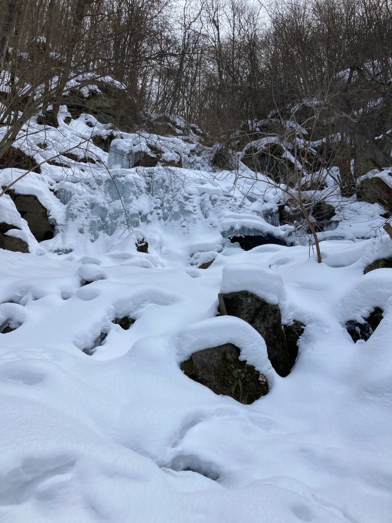
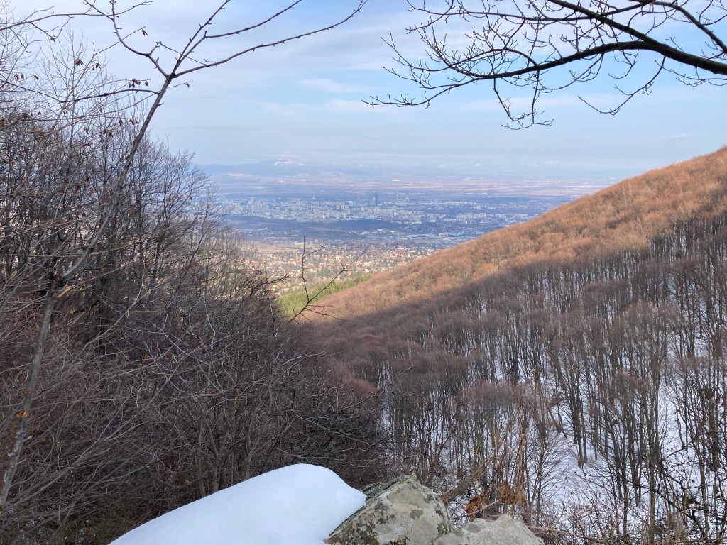
At a later stage, you will come across a fountain with a bench and a small icon of the Mother of God. All the time, paths continue up the mountain or drop down, but there is no need to change your height. After about an hour, there is a rocky outcrop with one of the most beautiful views of Sofia down below. Be careful not to go too close to the edge! This is an ideal place to stop and take some refreshments. You are now two minutes away from the waterfall. Continue along the path, and you will come to the waterfall, which when I visited in February was partially frozen and made for a wonderful sight.

The waterfall is formed by the river Skakavitsa, and I understand there is a second, smaller waterfall further down. You now have a choice to retrace your footsteps (if you have left the car in the car park) or to continue to Simeonovo and the Simeonovo Lakes, a set of small, artificial pools, which takes another half an hour. Buses go to and from the districts of Dragalevtsi and Simeonovo, so whether you retrace your footsteps or continue to Simeonovo, you should be able to take a bus from there back to the centre of Sofia.

A tree has been protected by a fence. On the left is the wire fence surrounding Dragalevtsi Monastery.
The monastery buildings through the trees.
The path forks almost immediately. Keep left.
A wooden bridge over the Dragalevska River.
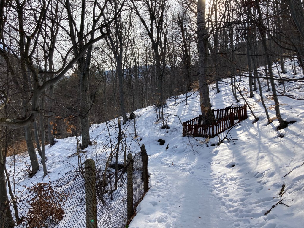
Snow and beeches!
The disused Dragalevtsi chairlift, with Sofia in the background.
More cables cut through the forest, offering another view of Sofia.
Beneath the snow is one of many moraines – rocks left by glaciers – on Vitosha Mountain.
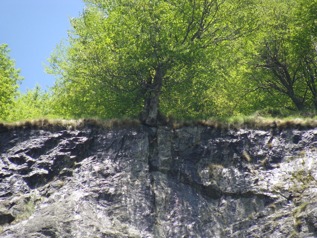
Small trees pushing against the odds.
Rock formations.
The rocky outcrop just before the waterfall.
From here you are within touching distance of the waterfall.
The waterfall, which in February was partially frozen.
A more general view of the waterfall.
The rocky outcrop offers one of the best views of Sofia.
Gallery

Crosses

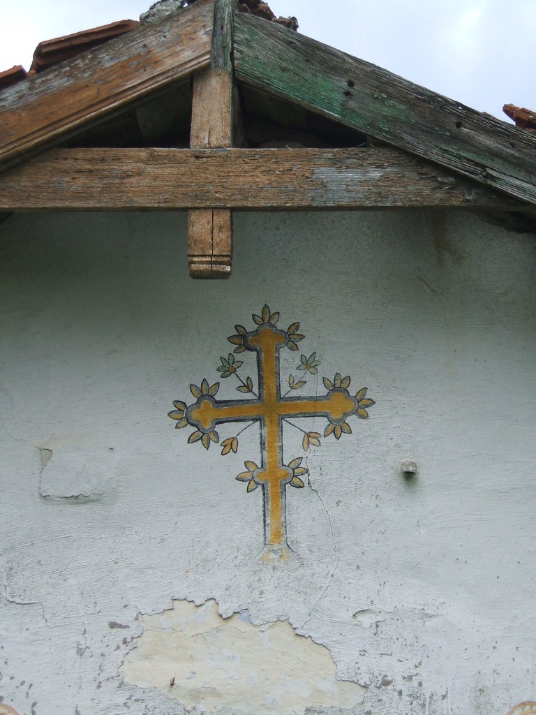
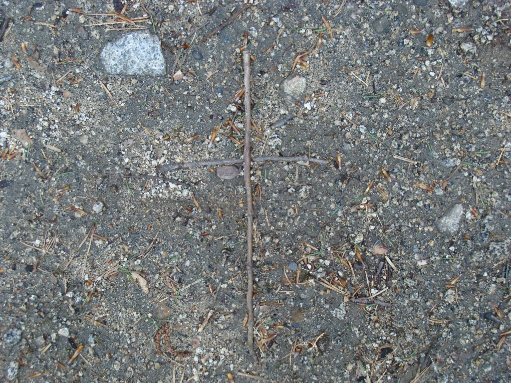
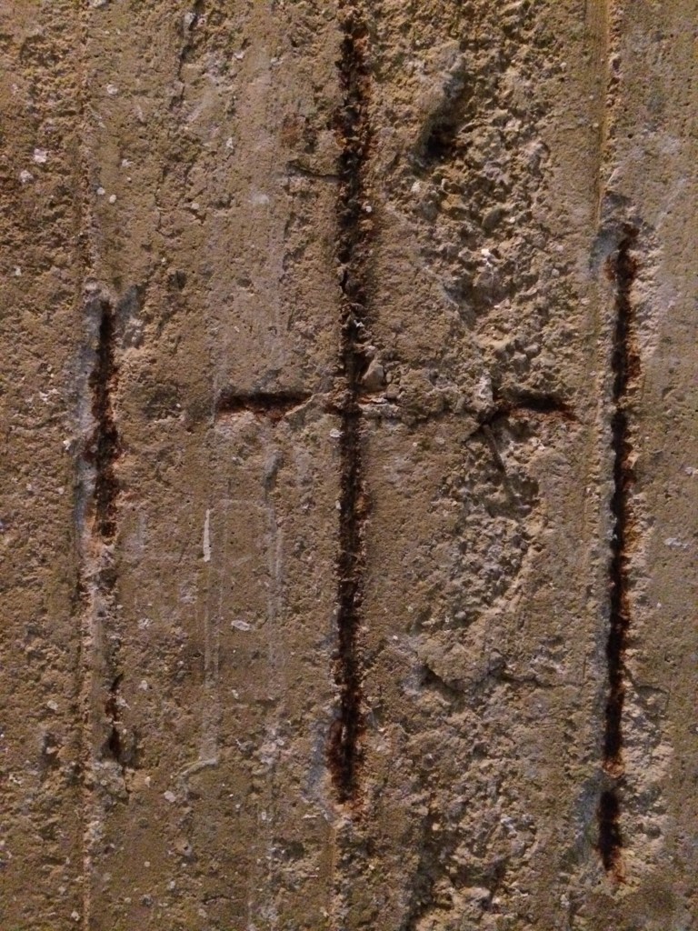
The Cross is a universal symbol. It is to be found everywhere, even in the constellations. It is in effect two intersecting lines, people interlacing arms in order to gee someone up – that is, a Cross provides support, it is a foundation, unlike a single line (a wall, a tower), which can easily be broken. A Cross was used in Roman times as a shameful means of putting someone to death. I imagine it is agonizing. The person on the Cross is at their most vulnerable, all parts exposed, arms outstretched. There is nowhere to hide. For God made man, it is the ultimate act of giving, nothing held back. For us, it is the denial of the ego, of our selfish impulses, because the Cross represents the ego (I) with a line drawn through it: †. It also represents, however, a plus-sign: +. This is what Christ meant by his seemingly paradoxical statement: “Those who find their life will lose it, and those who lose their life for my sake will find it” (Matthew 10:39). Jesus tells us to “deny ourselves, take up our Cross and follow him” (Matthew 16:24). We curb our passions, don’t give in to anger or lust, don’t try to avoid suffering. We endure, albeit only for a moment, and find our sight has been cleansed, our spiritual eye (I) has been opened (O). We count down, from 1 to 0. The Cross is a doorway, a signal of intent. Push a little, and it opens. Reveals the light. Like a child’s fist.

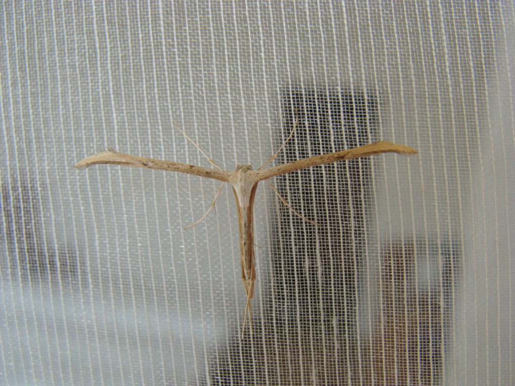
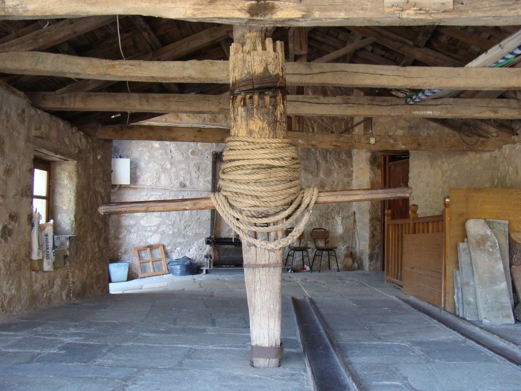
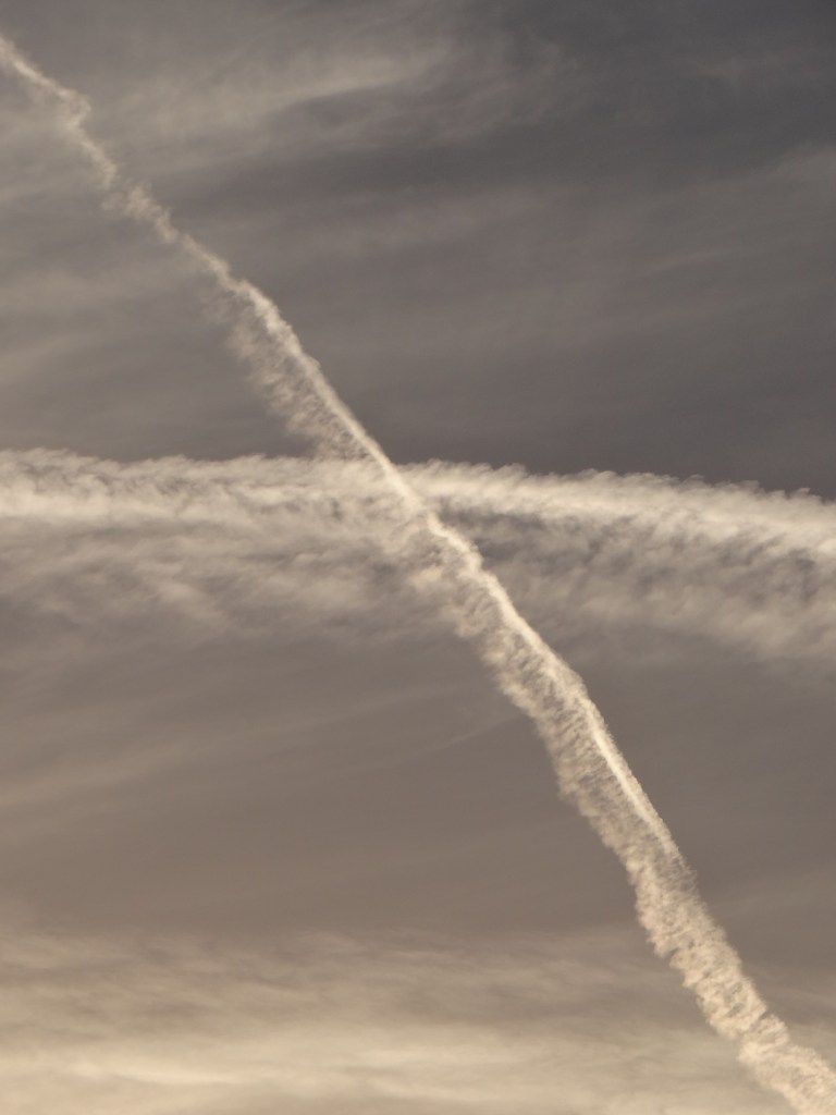
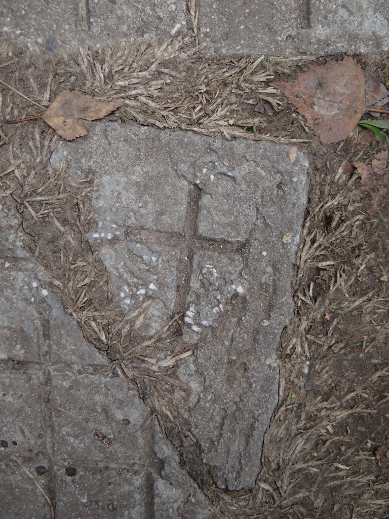
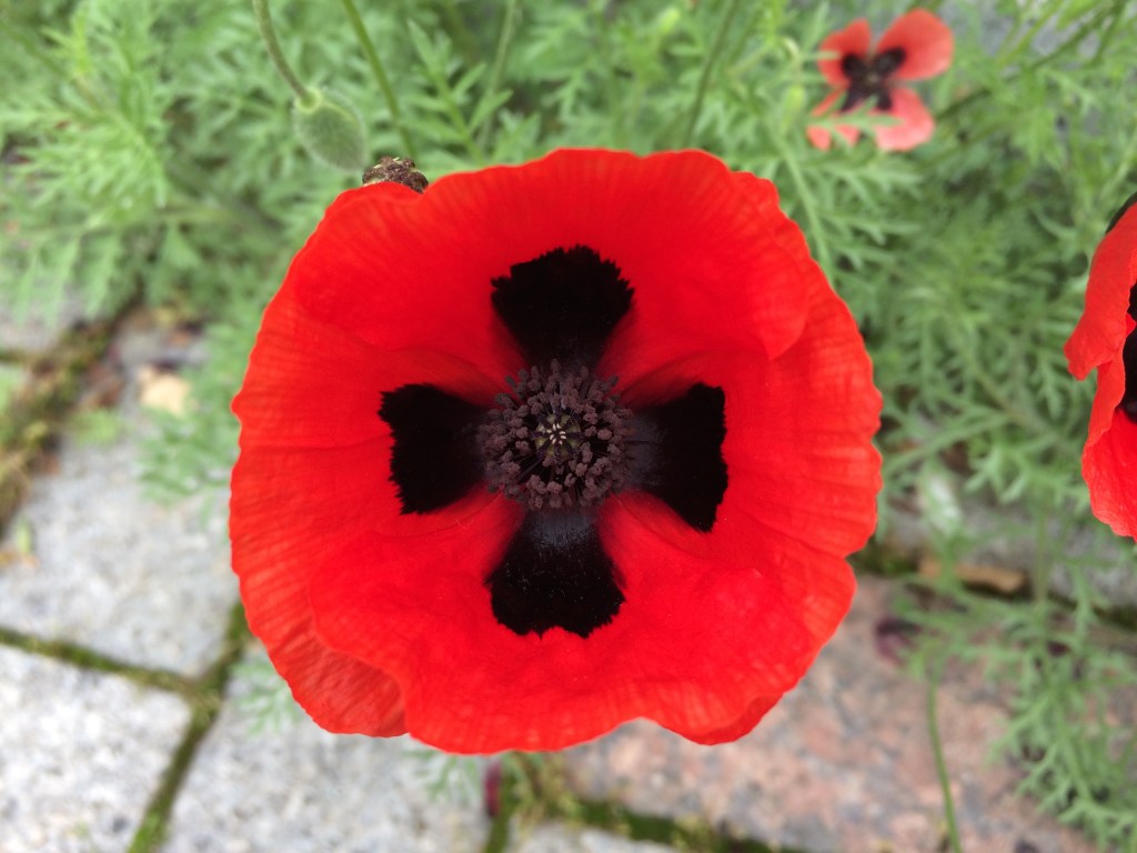
These are Crosses I have come across in my everyday life, in Bulgaria and other countries, on holiday or while performing an errand. I hope these photographs will serve to remind us of the presence of God in our daily lives.

Jonathan Dunne